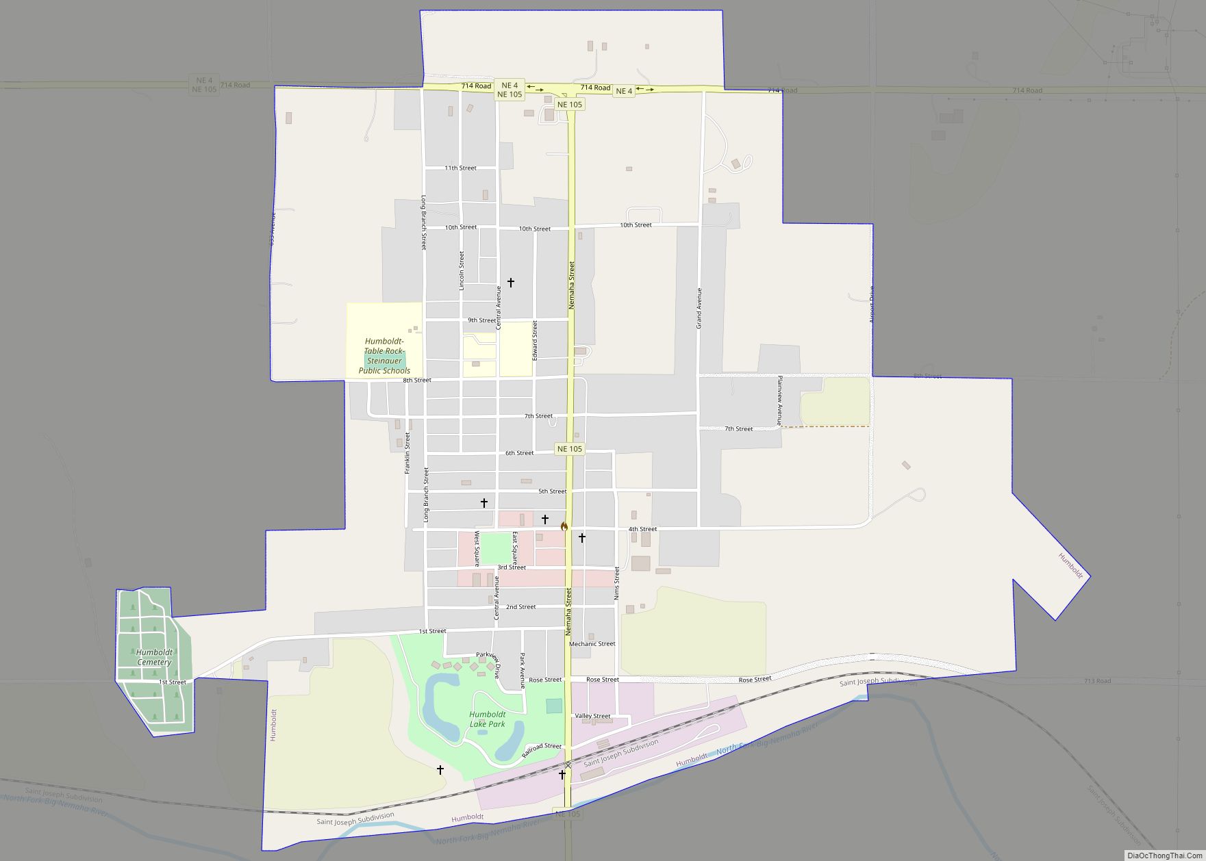
Humboldt is a city in Richardson County, Nebraska, United States. The population was 800 at the 2020 census.
| Name: | Humboldt city |
|---|---|
| LSAD Code: | 25 |
| LSAD Description: | city (suffix) |
| State: | Nebraska |
| County: | Richardson County |
| Elevation: | 1,020 ft (310 m) |
| Total Area: | 1.33 sq mi (3.46 km²) |
| Land Area: | 1.33 sq mi (3.46 km²) |
| Water Area: | 0.00 sq mi (0.00 km²) |
| Total Population: | 800 |
| Population Density: | 599.70/sq mi (231.50/km²) |
| ZIP code: | 68376 |
| Area code: | 402 |
| FIPS code: | 3123445 |
| GNISfeature ID: | 2394445 |
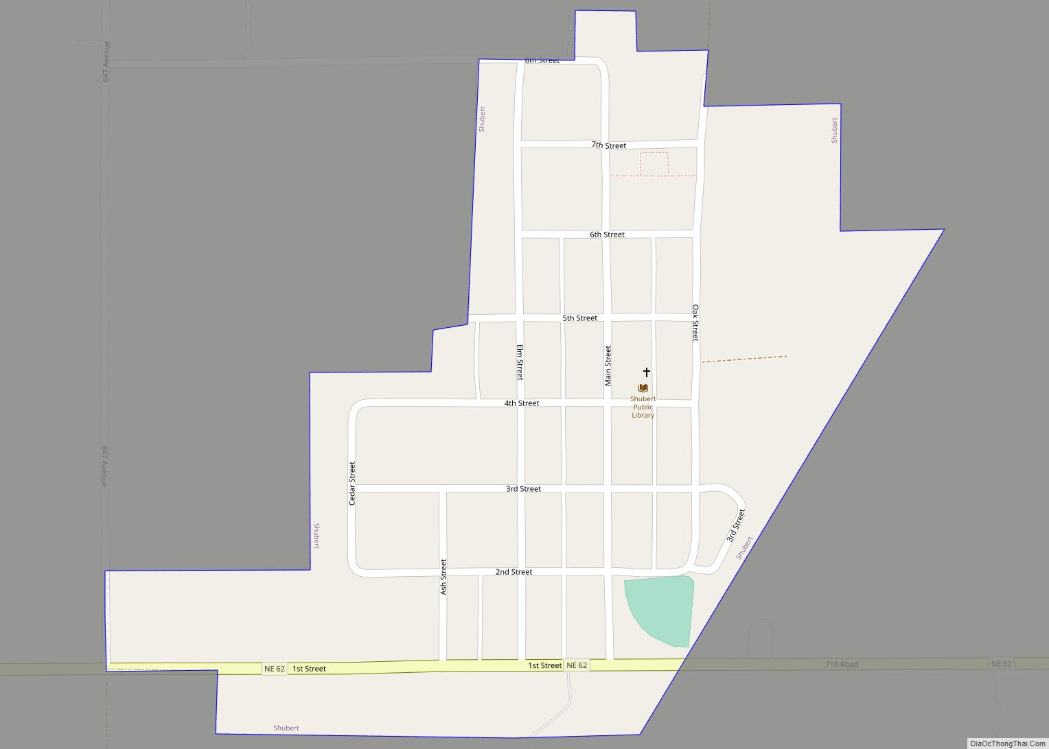
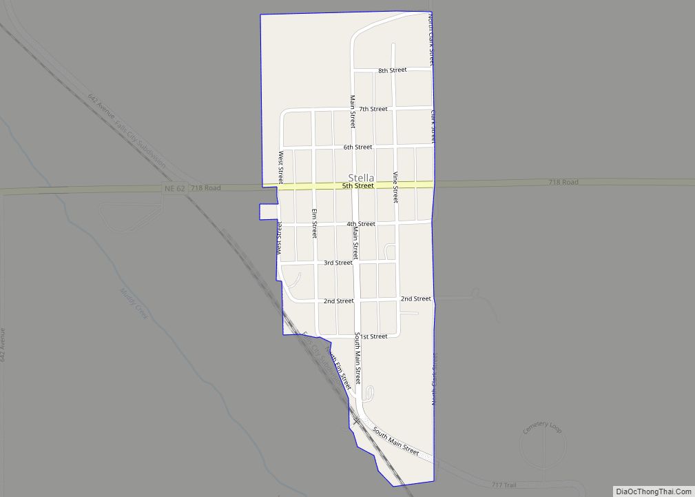
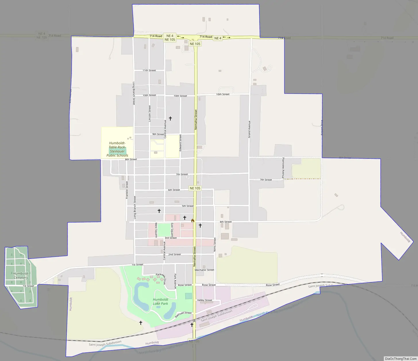
Online Interactive Map
Click on ![]() to view map in "full screen" mode.
to view map in "full screen" mode.
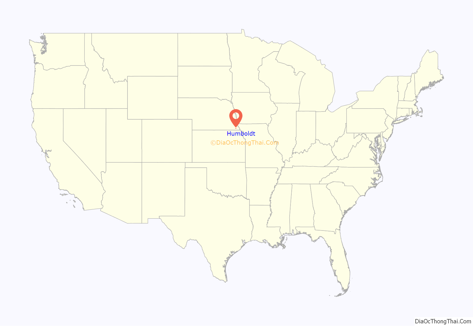
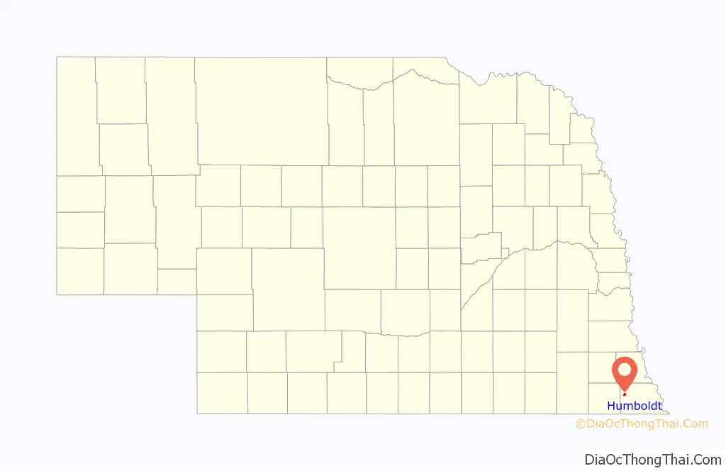
Humboldt location map. Where is Humboldt city?
History
Humboldt was platted in 1868. It was named after Humboldt, Tennessee, where an early settler had stayed while fighting in the Civil War.
In December 1993, Humboldt was the site of a triple murder, including the rape and murder of Brandon Teena, a transgender man.
Three Ball Charlie, pictured on the cover of The Rolling Stones’ album “Exile on Main St.,” grew up in Humboldt.
Humboldt Road Map
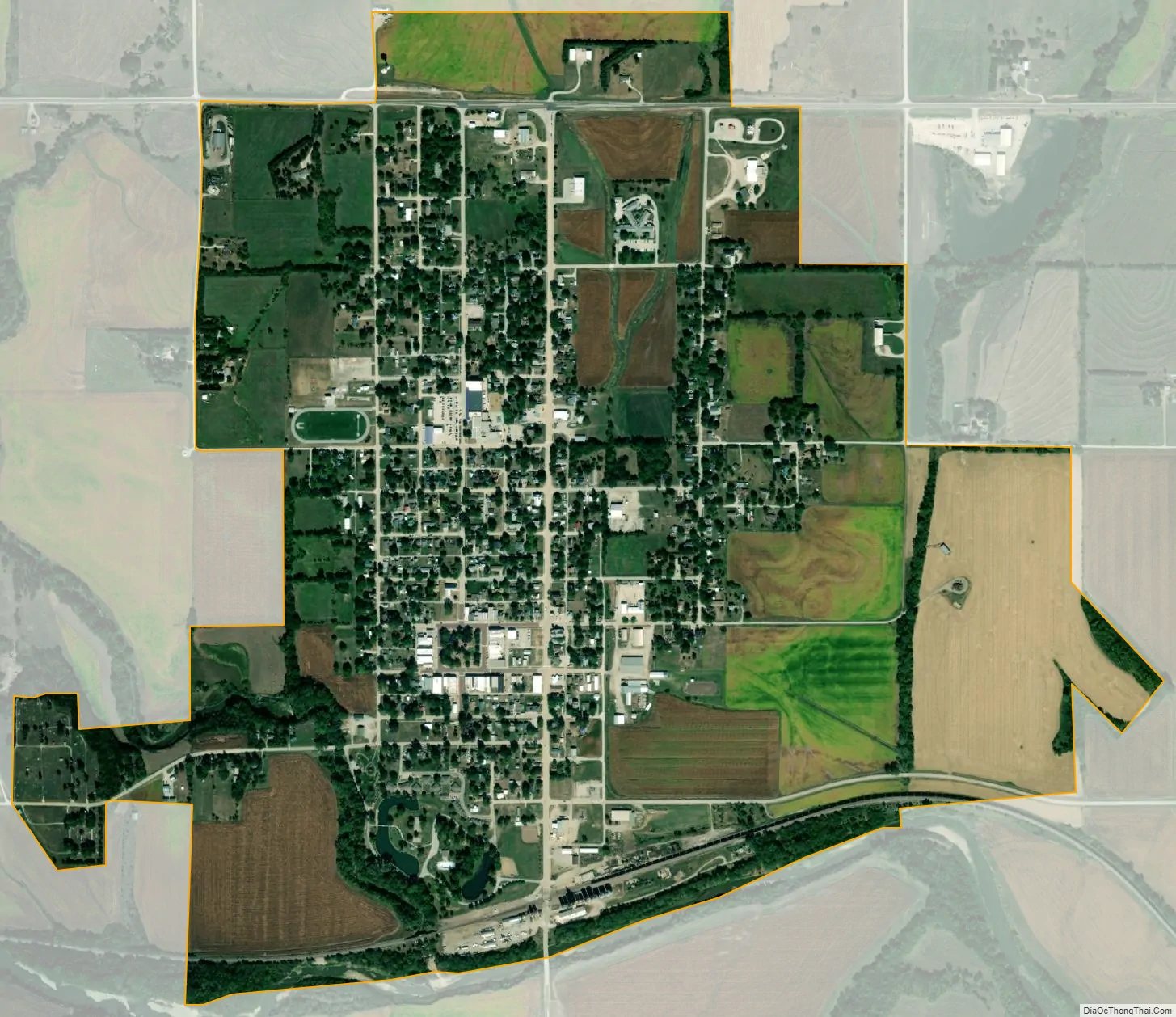
Humboldt city Satellite Map
Geography
According to the United States Census Bureau, the city has a total area of 1.33 square miles (3.44 km), all land.
See also
Map of Nebraska State and its subdivision:- Adams
- Antelope
- Arthur
- Banner
- Blaine
- Boone
- Box Butte
- Boyd
- Brown
- Buffalo
- Burt
- Butler
- Cass
- Cedar
- Chase
- Cherry
- Cheyenne
- Clay
- Colfax
- Cuming
- Custer
- Dakota
- Dawes
- Dawson
- Deuel
- Dixon
- Dodge
- Douglas
- Dundy
- Fillmore
- Franklin
- Frontier
- Furnas
- Gage
- Garden
- Garfield
- Gosper
- Grant
- Greeley
- Hall
- Hamilton
- Harlan
- Hayes
- Hitchcock
- Holt
- Hooker
- Howard
- Jefferson
- Johnson
- Kearney
- Keith
- Keya Paha
- Kimball
- Knox
- Lancaster
- Lincoln
- Logan
- Loup
- Madison
- McPherson
- Merrick
- Morrill
- Nance
- Nemaha
- Nuckolls
- Otoe
- Pawnee
- Perkins
- Phelps
- Pierce
- Platte
- Polk
- Red Willow
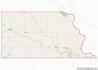
- Richardson
- Rock
- Saline
- Sarpy
- Saunders
- Scotts Bluff
- Seward
- Sheridan
- Sherman
- Sioux
- Stanton
- Thayer
- Thomas
- Thurston
- Valley
- Washington
- Wayne
- Webster
- Wheeler
- York
- Alabama
- Alaska
- Arizona
- Arkansas
- California
- Colorado
- Connecticut
- Delaware
- District of Columbia
- Florida
- Georgia
- Hawaii
- Idaho
- Illinois
- Indiana
- Iowa
- Kansas
- Kentucky
- Louisiana
- Maine
- Maryland
- Massachusetts
- Michigan
- Minnesota
- Mississippi
- Missouri
- Montana
- Nebraska
- Nevada
- New Hampshire
- New Jersey
- New Mexico
- New York
- North Carolina
- North Dakota
- Ohio
- Oklahoma
- Oregon
- Pennsylvania
- Rhode Island
- South Carolina
- South Dakota
- Tennessee
- Texas
- Utah
- Vermont
- Virginia
- Washington
- West Virginia
- Wisconsin
- Wyoming