Lebanon is a village in Red Willow County, Nebraska, United States. The population was 80 at the 2010 census.
| Name: | Lebanon village |
|---|---|
| LSAD Code: | 47 |
| LSAD Description: | village (suffix) |
| State: | Nebraska |
| County: | Red Willow County |
| Elevation: | 2,395 ft (730 m) |
| Total Area: | 0.16 sq mi (0.42 km²) |
| Land Area: | 0.16 sq mi (0.42 km²) |
| Water Area: | 0.00 sq mi (0.00 km²) |
| Total Population: | 46 |
| Population Density: | 285.71/sq mi (110.44/km²) |
| ZIP code: | 69036 |
| Area code: | 308 |
| FIPS code: | 3126455 |
| GNISfeature ID: | 0830656 |
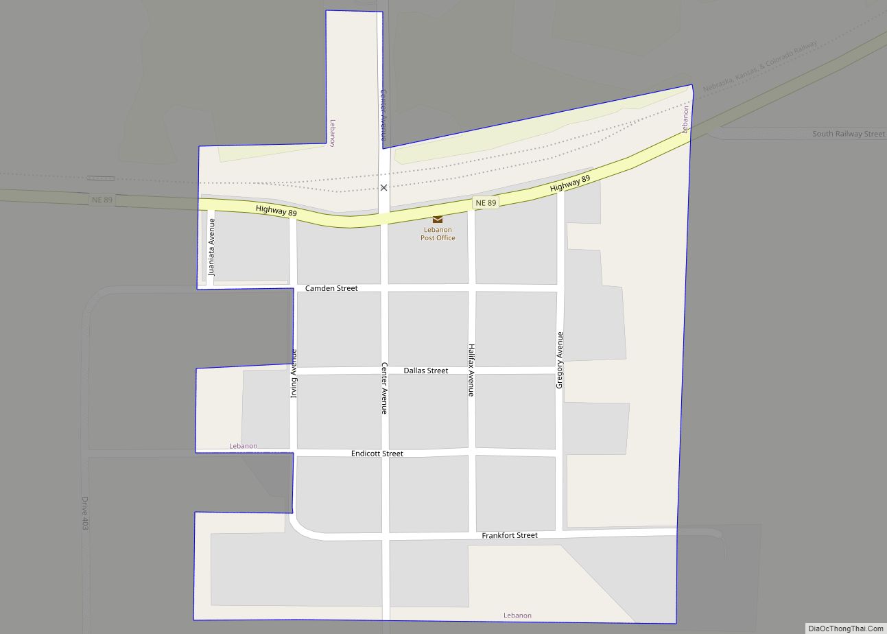
Online Interactive Map
Click on ![]() to view map in "full screen" mode.
to view map in "full screen" mode.
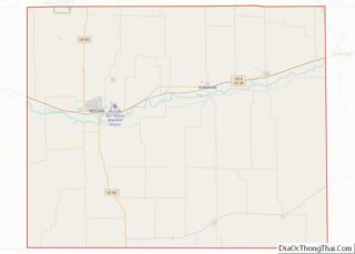
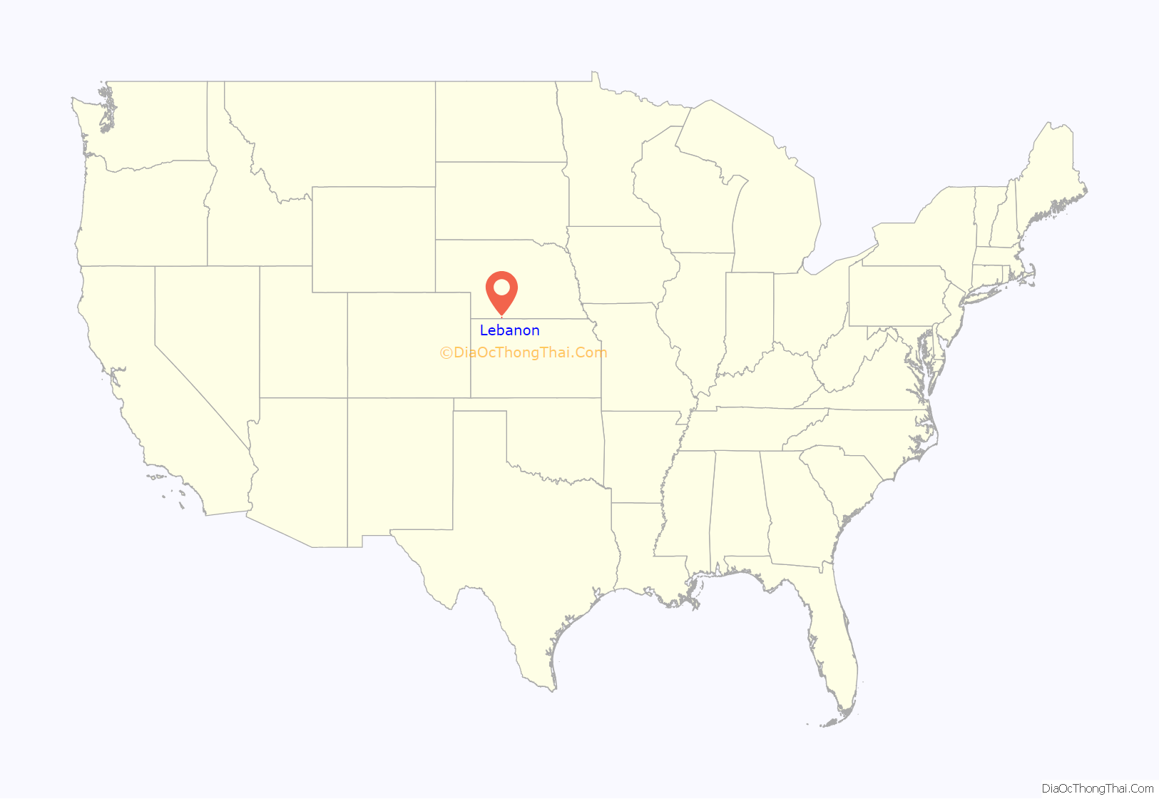
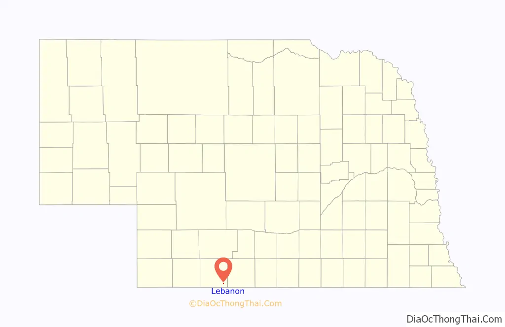
Lebanon location map. Where is Lebanon village?
History
Lebanon was platted in 1887 when the Burlington & Missouri River Railroad was extended to that point. Its name commemorates the Cedars of Lebanon.
In April 1955 Charles Harris, a delegate chosen by the Mayor of Lebanon, was part of a delegation of forty mayors of American cities called “Lebanon” which was invited to the Middle East by the government of the country Lebanon. The mayor of Lebanon in 1955 was Chester Keith, who couldn’t go due to his age. When visiting Jerusalem, then partitioned between Israel and Jordan, Harris accidentally crossed the border and was shot to death by a Jordanian soldier. At the time, his death sparked a major international incident, with the UN launching an investigation, Israel and Jordan each putting the blame on the other.
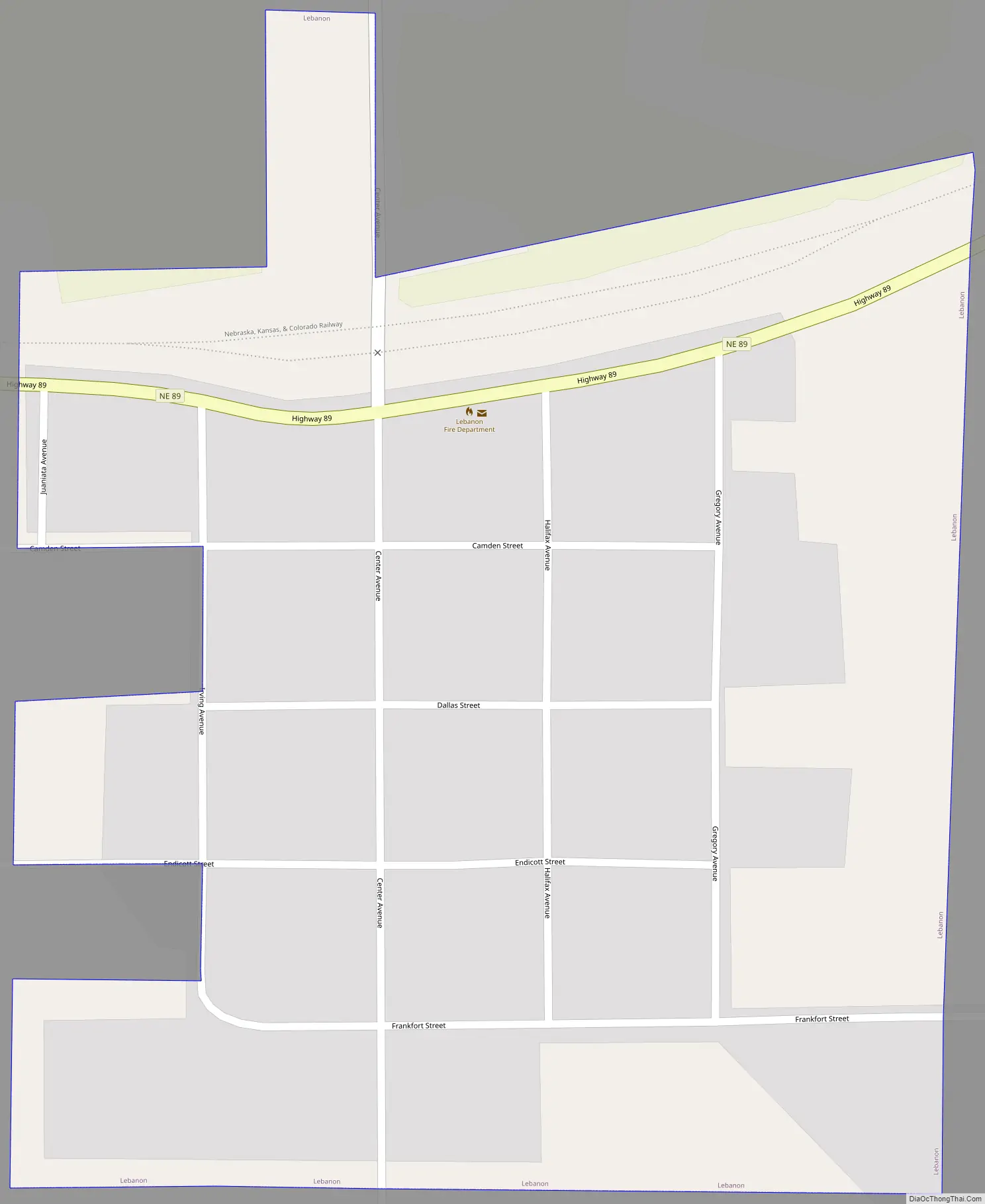
Lebanon Road Map
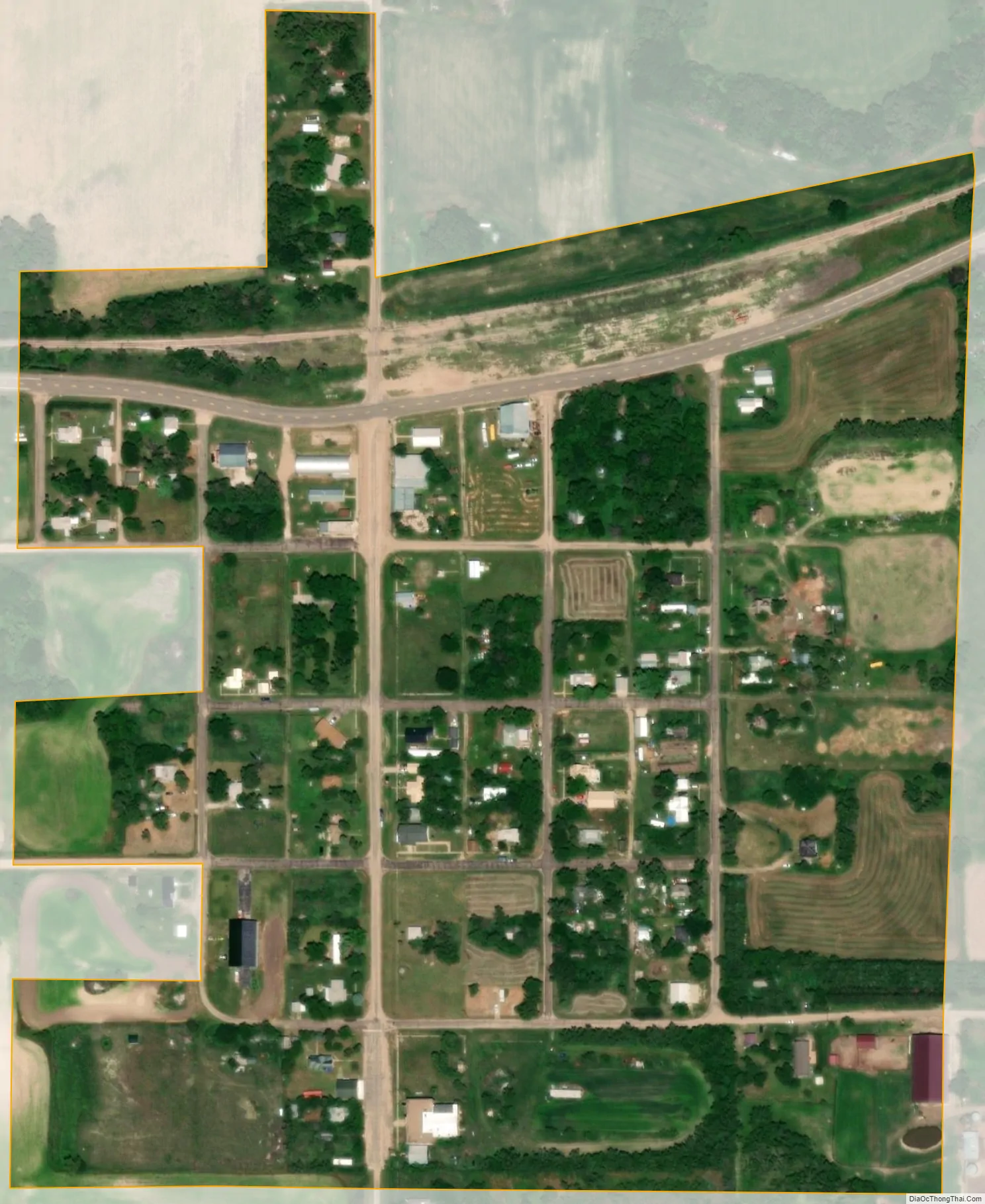
Lebanon city Satellite Map
Geography
Lebanon is located at 40°2′57″N 100°16′35″W / 40.04917°N 100.27639°W / 40.04917; -100.27639 (40.049211, -100.276348).
According to the United States Census Bureau, the village has a total area of 0.16 square miles (0.41 km), all land.
See also
Map of Nebraska State and its subdivision:- Adams
- Antelope
- Arthur
- Banner
- Blaine
- Boone
- Box Butte
- Boyd
- Brown
- Buffalo
- Burt
- Butler
- Cass
- Cedar
- Chase
- Cherry
- Cheyenne
- Clay
- Colfax
- Cuming
- Custer
- Dakota
- Dawes
- Dawson
- Deuel
- Dixon
- Dodge
- Douglas
- Dundy
- Fillmore
- Franklin
- Frontier
- Furnas
- Gage
- Garden
- Garfield
- Gosper
- Grant
- Greeley
- Hall
- Hamilton
- Harlan
- Hayes
- Hitchcock
- Holt
- Hooker
- Howard
- Jefferson
- Johnson
- Kearney
- Keith
- Keya Paha
- Kimball
- Knox
- Lancaster
- Lincoln
- Logan
- Loup
- Madison
- McPherson
- Merrick
- Morrill
- Nance
- Nemaha
- Nuckolls
- Otoe
- Pawnee
- Perkins
- Phelps
- Pierce
- Platte
- Polk
- Red Willow
- Richardson
- Rock
- Saline
- Sarpy
- Saunders
- Scotts Bluff
- Seward
- Sheridan
- Sherman
- Sioux
- Stanton
- Thayer
- Thomas
- Thurston
- Valley
- Washington
- Wayne
- Webster
- Wheeler
- York
- Alabama
- Alaska
- Arizona
- Arkansas
- California
- Colorado
- Connecticut
- Delaware
- District of Columbia
- Florida
- Georgia
- Hawaii
- Idaho
- Illinois
- Indiana
- Iowa
- Kansas
- Kentucky
- Louisiana
- Maine
- Maryland
- Massachusetts
- Michigan
- Minnesota
- Mississippi
- Missouri
- Montana
- Nebraska
- Nevada
- New Hampshire
- New Jersey
- New Mexico
- New York
- North Carolina
- North Dakota
- Ohio
- Oklahoma
- Oregon
- Pennsylvania
- Rhode Island
- South Carolina
- South Dakota
- Tennessee
- Texas
- Utah
- Vermont
- Virginia
- Washington
- West Virginia
- Wisconsin
- Wyoming