Alexander is a village in Genesee County, New York, United States. The population was 509 at the 2010 census. The village is named after early settler, Alexander Rea.
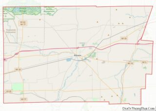
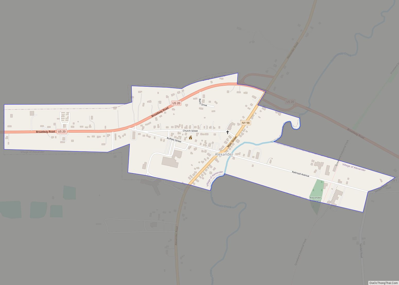
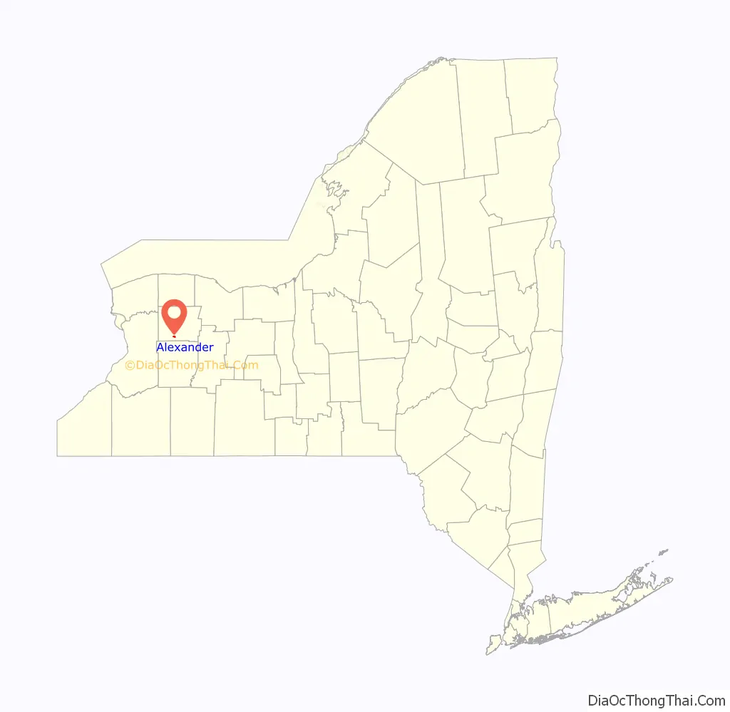
The village of Alexander is within the town of Alexander. The village is in the south-central part of the town, south of Batavia.
Alexander is one of only twelve villages in New York still incorporated under a charter, the other villages having incorporated or re-incorporated under the provisions of Village Law.
| Name: | Alexander village |
|---|---|
| LSAD Code: | 47 |
| LSAD Description: | village (suffix) |
| State: | New York |
| County: | Genesee County |
| Elevation: | 932 ft (284 m) |
| Total Area: | 0.44 sq mi (1.13 km²) |
| Land Area: | 0.44 sq mi (1.13 km²) |
| Water Area: | 0.00 sq mi (0.00 km²) |
| Total Population: | 518 |
| Population Density: | 1,185.35/sq mi (457.41/km²) |
| ZIP code: | 14005 |
| Area code: | 585 |
| FIPS code: | 3601154 |
| GNISfeature ID: | 0942301 |
| Website: | www.townofalexander.com/village/ |
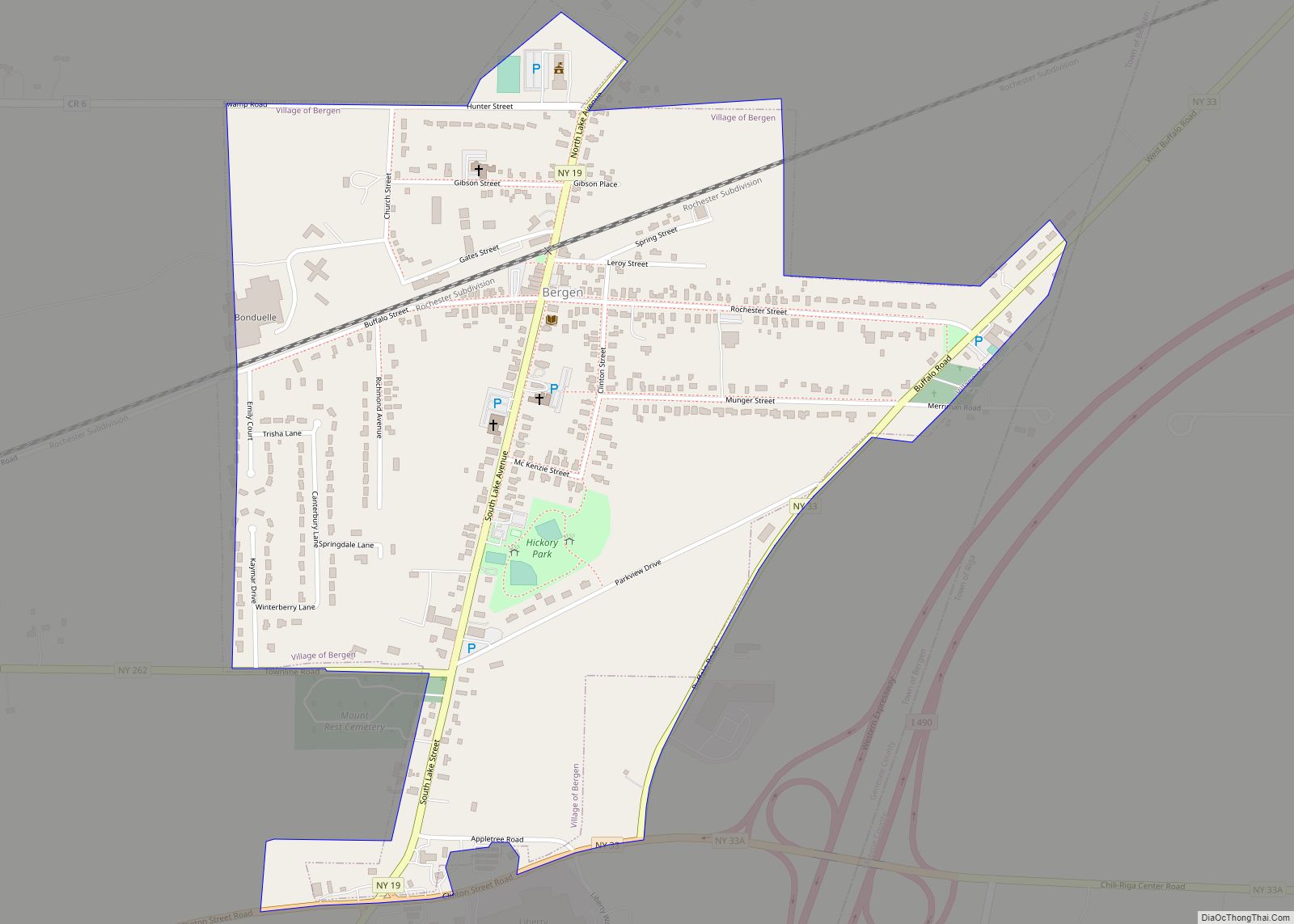
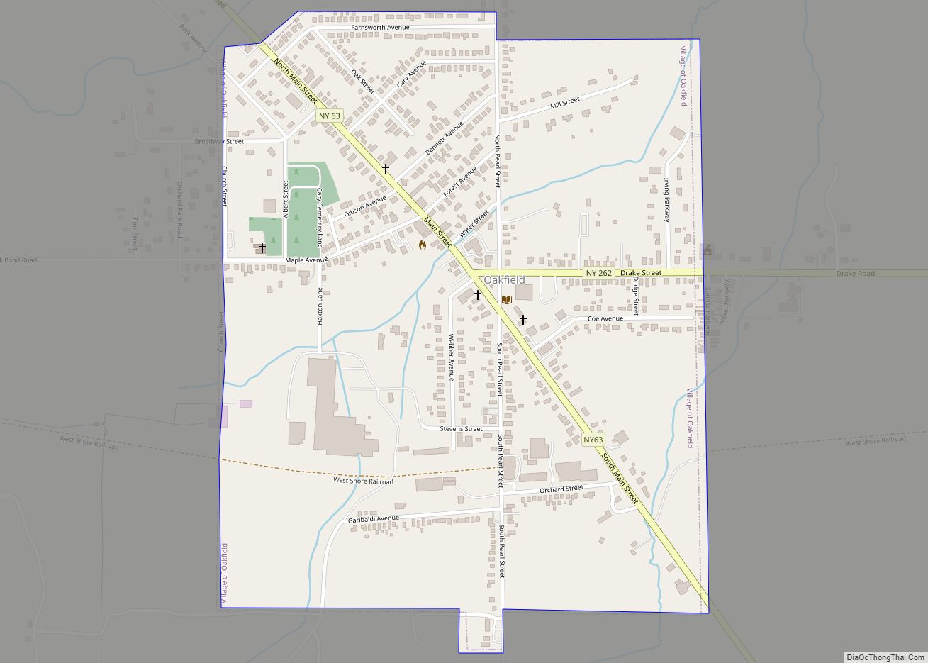
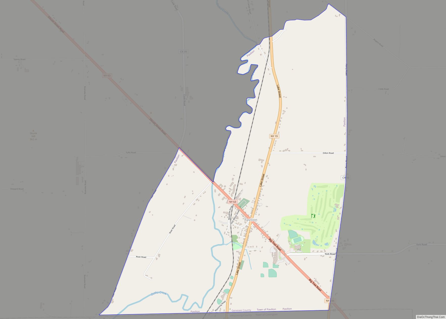
Online Interactive Map
Click on ![]() to view map in "full screen" mode.
to view map in "full screen" mode.
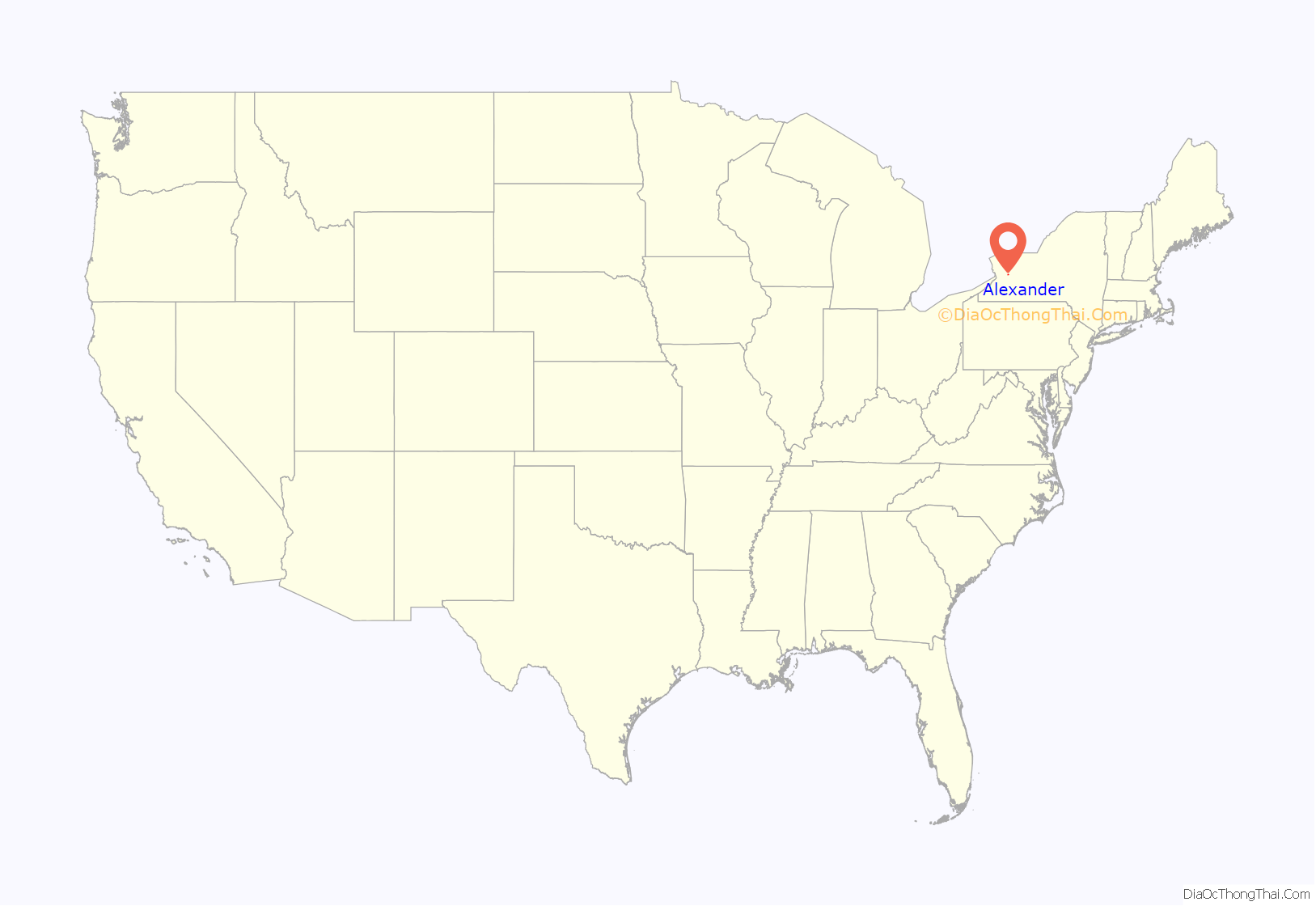
Alexander location map. Where is Alexander village?
History
The village was founded by Alexander Rea on land he purchased in 1802 and was incorporated in 1834.
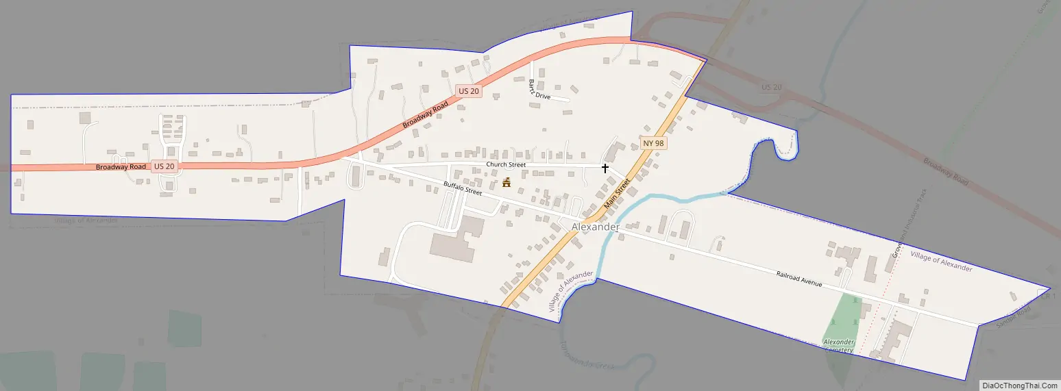
Alexander Road Map
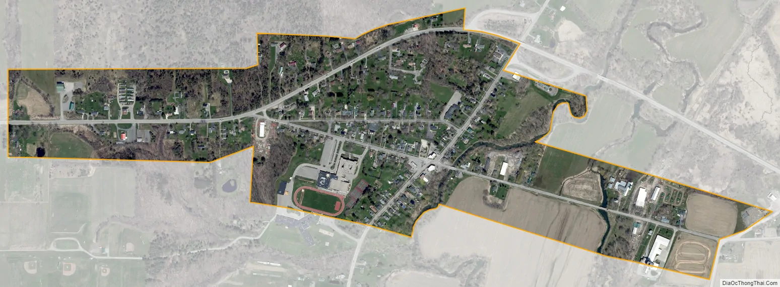
Alexander city Satellite Map
Geography
According to the United States Census Bureau, the village has a total area of 0.42 square miles (1.1 km), all land.
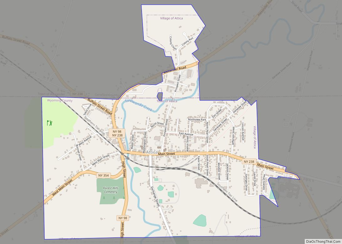
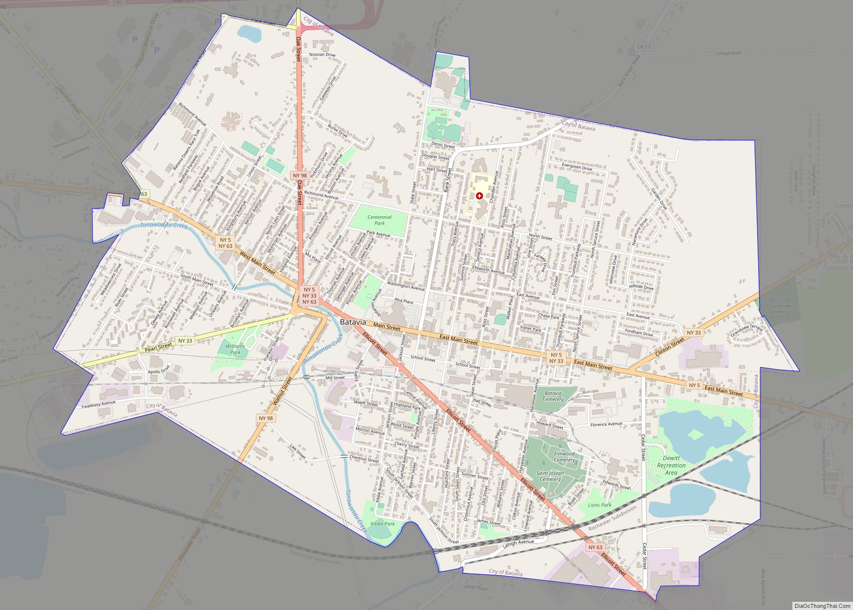
Tonawanda Creek flows to the northeast through the village. It eventually turns west and is a tributary of the Niagara River. Alexander is at the junction of Alexander Road (NY Route 98) and Broadway (US Route 20). NY 98 leads north 8 miles (13 km) to Batavia, the county seat, and south 3 miles (5 km) to Attica. US 20 leads east 26 miles (42 km) to Avon and west 22 miles (35 km) to Depew. Buffalo is 32 miles (51 km) to the west of Alexander.
See also
Map of New York State and its subdivision:- Albany
- Allegany
- Bronx
- Broome
- Cattaraugus
- Cayuga
- Chautauqua
- Chemung
- Chenango
- Clinton
- Columbia
- Cortland
- Delaware
- Dutchess
- Erie
- Essex
- Franklin
- Fulton
- Genesee
- Greene
- Hamilton
- Herkimer
- Jefferson
- Kings
- Lake Ontario
- Lewis
- Livingston
- Madison
- Monroe
- Montgomery
- Nassau
- New York
- Niagara
- Oneida
- Onondaga
- Ontario
- Orange
- Orleans
- Oswego
- Otsego
- Putnam
- Queens
- Rensselaer
- Richmond
- Rockland
- Saint Lawrence
- Saratoga
- Schenectady
- Schoharie
- Schuyler
- Seneca
- Steuben
- Suffolk
- Sullivan
- Tioga
- Tompkins
- Ulster
- Warren
- Washington
- Wayne
- Westchester
- Wyoming
- Yates
- Alabama
- Alaska
- Arizona
- Arkansas
- California
- Colorado
- Connecticut
- Delaware
- District of Columbia
- Florida
- Georgia
- Hawaii
- Idaho
- Illinois
- Indiana
- Iowa
- Kansas
- Kentucky
- Louisiana
- Maine
- Maryland
- Massachusetts
- Michigan
- Minnesota
- Mississippi
- Missouri
- Montana
- Nebraska
- Nevada
- New Hampshire
- New Jersey
- New Mexico
- New York
- North Carolina
- North Dakota
- Ohio
- Oklahoma
- Oregon
- Pennsylvania
- Rhode Island
- South Carolina
- South Dakota
- Tennessee
- Texas
- Utah
- Vermont
- Virginia
- Washington
- West Virginia
- Wisconsin
- Wyoming