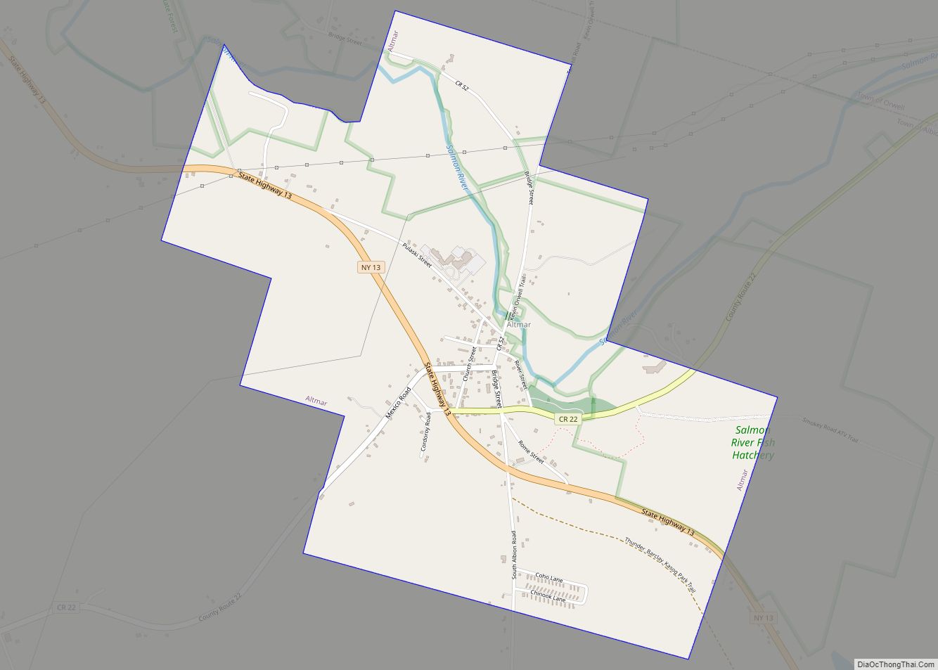
Altmar is a hamlet (and census-designated place) in Oswego County, New York, United States. The population was 407 at the 2010 census.
The former Village of Altmar (formerly “Sand Bank” and now dissolved) is in northern part of the Town of Albion at State Route 13 and County Route 22. Altmar is the seat of the town government.
| Name: | Altmar CDP |
|---|---|
| LSAD Code: | 57 |
| LSAD Description: | CDP (suffix) |
| State: | New York |
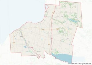
| County: | Oswego County |
| Incorporated: | February 21, 1876 |
| Elevation: | 574 ft (175 m) |
| Total Area: | 2.08 sq mi (5.39 km²) |
| Land Area: | 2.07 sq mi (5.36 km²) |
| Water Area: | 0.01 sq mi (0.03 km²) |
| Total Population: | 357 |
| Population Density: | 172.55/sq mi (66.61/km²) |
| ZIP code: | 13302 |
| Area code: | 315 |
| FIPS code: | 3601550 |
| GNISfeature ID: | 2391512 |
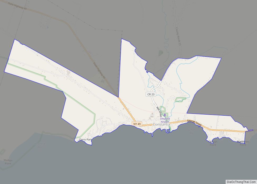
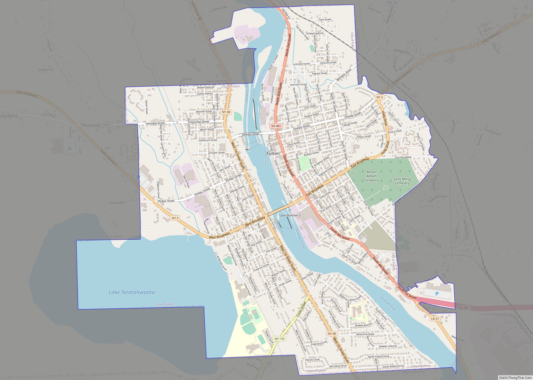
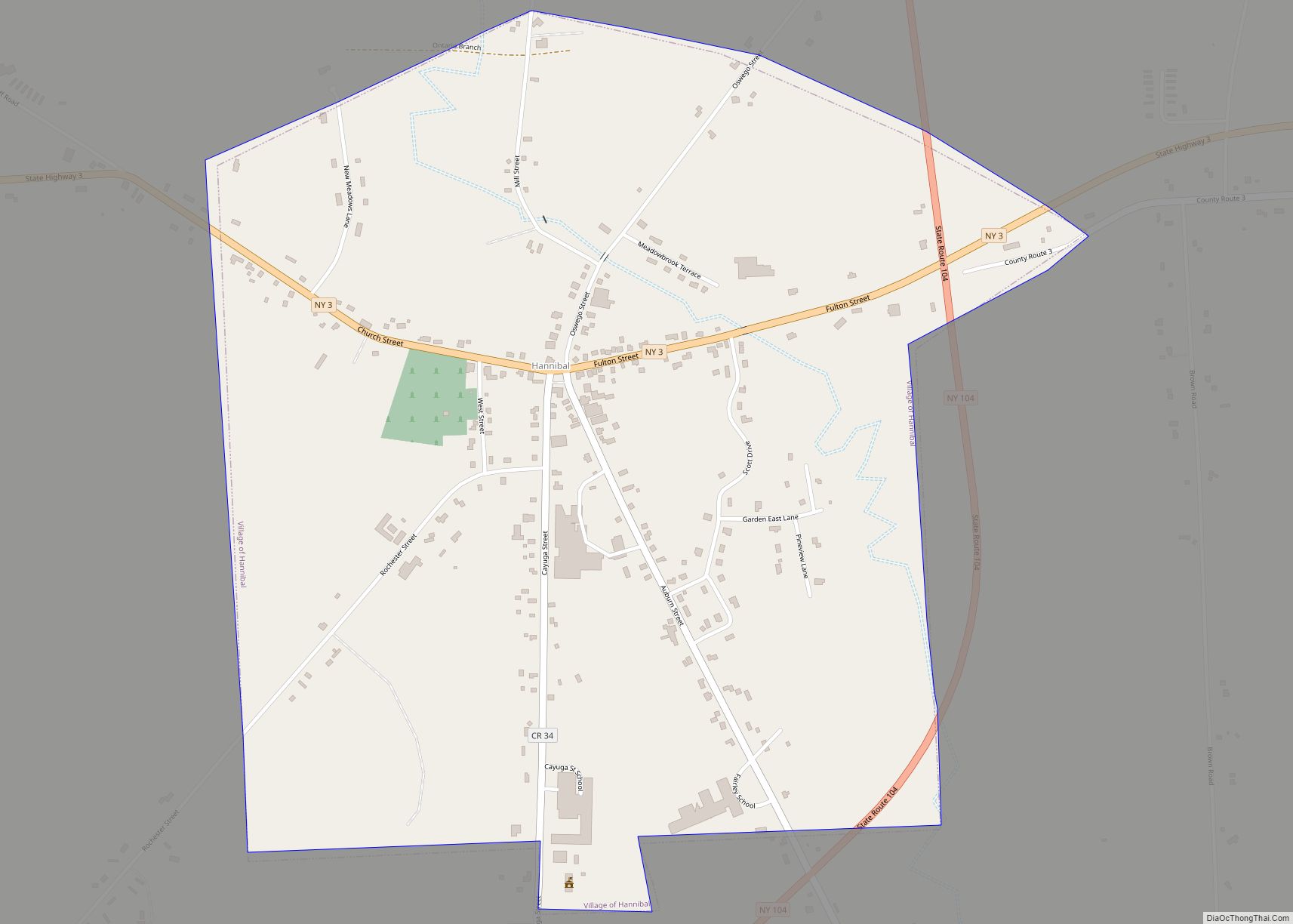
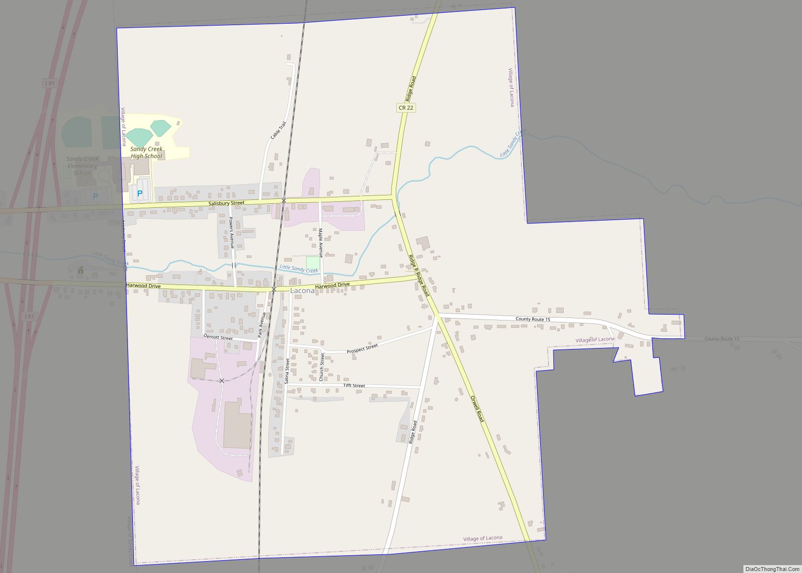
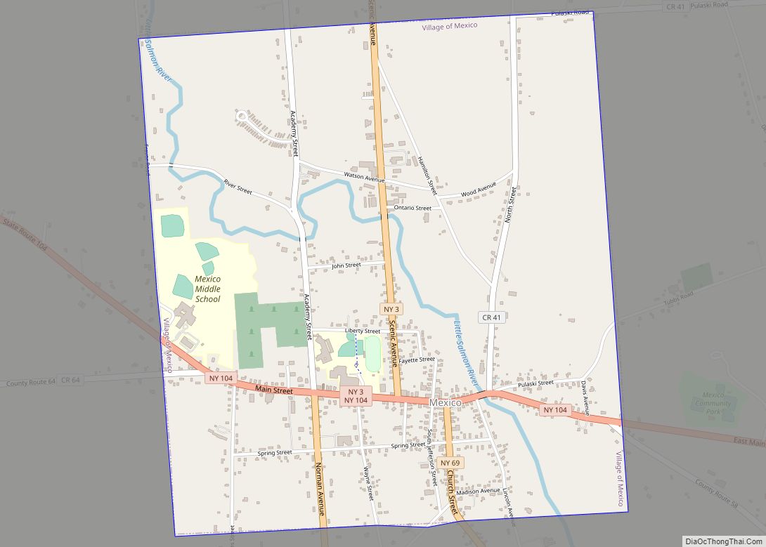
Online Interactive Map
Click on ![]() to view map in "full screen" mode.
to view map in "full screen" mode.
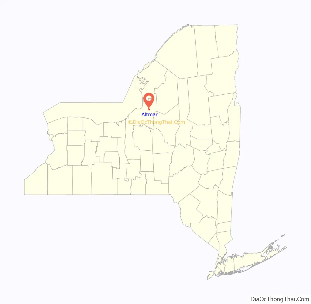
Altmar location map. Where is Altmar CDP?

History
The community was first settled in 1813 by Peter Henderson. The village was incorporated in 1876 as “Sand Bank.” In 1890, the population was 551.
On November 10, 2010, residents of Altmar voted to dissolve their village’s government under Governor Andrew Cuomo’s Government Reorganization and Citizen Empowerment Act, becoming the first village to do so under the act; the margin was a mere six votes. The village board had until May 31, 2011 to draft a plan to dissolve the village’s government.
The village was dissolved on June 1, 2013 and remains an area within the Town of Albion.
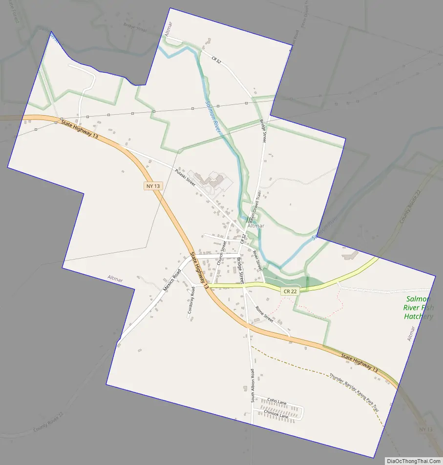
Altmar Road Map
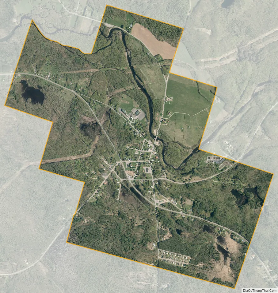
Altmar city Satellite Map
Geography
Altmar is located at 43°30′43″N 76°0′3″W / 43.51194°N 76.00083°W / 43.51194; -76.00083 (43.511877, −76.000756).
According to the United States Census Bureau, the village has a total area of 2.2 square miles (5.7 km), of which 2.2 square miles (5.7 km) is land and 0.46% is water.
See also
Map of New York State and its subdivision:- Albany
- Allegany
- Bronx
- Broome
- Cattaraugus
- Cayuga
- Chautauqua
- Chemung
- Chenango
- Clinton
- Columbia
- Cortland
- Delaware
- Dutchess
- Erie
- Essex
- Franklin
- Fulton
- Genesee
- Greene
- Hamilton
- Herkimer
- Jefferson
- Kings
- Lake Ontario
- Lewis
- Livingston
- Madison
- Monroe
- Montgomery
- Nassau
- New York
- Niagara
- Oneida
- Onondaga
- Ontario
- Orange
- Orleans
- Oswego
- Otsego
- Putnam
- Queens
- Rensselaer
- Richmond
- Rockland
- Saint Lawrence
- Saratoga
- Schenectady
- Schoharie
- Schuyler
- Seneca
- Steuben
- Suffolk
- Sullivan
- Tioga
- Tompkins
- Ulster
- Warren
- Washington
- Wayne
- Westchester
- Wyoming
- Yates
- Alabama
- Alaska
- Arizona
- Arkansas
- California
- Colorado
- Connecticut
- Delaware
- District of Columbia
- Florida
- Georgia
- Hawaii
- Idaho
- Illinois
- Indiana
- Iowa
- Kansas
- Kentucky
- Louisiana
- Maine
- Maryland
- Massachusetts
- Michigan
- Minnesota
- Mississippi
- Missouri
- Montana
- Nebraska
- Nevada
- New Hampshire
- New Jersey
- New Mexico
- New York
- North Carolina
- North Dakota
- Ohio
- Oklahoma
- Oregon
- Pennsylvania
- Rhode Island
- South Carolina
- South Dakota
- Tennessee
- Texas
- Utah
- Vermont
- Virginia
- Washington
- West Virginia
- Wisconsin
- Wyoming