Amityville (/ˈæmɪtivɪl/) is a village near the Town of Babylon in Suffolk County, on the South Shore of Long Island, in New York. The population was 9,523 at the 2010 census.
| Name: | Amityville village |
|---|---|
| LSAD Code: | 47 |
| LSAD Description: | village (suffix) |
| State: | New York |
| County: | Suffolk County |
| Incorporated: | March 3, 1894 |
| Elevation: | 20 ft (6 m) |
| Total Area: | 2.47 sq mi (6.41 km²) |
| Land Area: | 2.06 sq mi (5.32 km²) |
| Water Area: | 0.42 sq mi (1.08 km²) |
| Total Population: | 9,500 |
| Population Density: | 4,620.62/sq mi (1,784.35/km²) |
| ZIP code: | 11701, 11708 |
| Area code: | 631, 934 |
| FIPS code: | 3602044 |
| GNISfeature ID: | 0942440 |
| Website: | amityville.com |
Online Interactive Map
Click on ![]() to view map in "full screen" mode.
to view map in "full screen" mode.
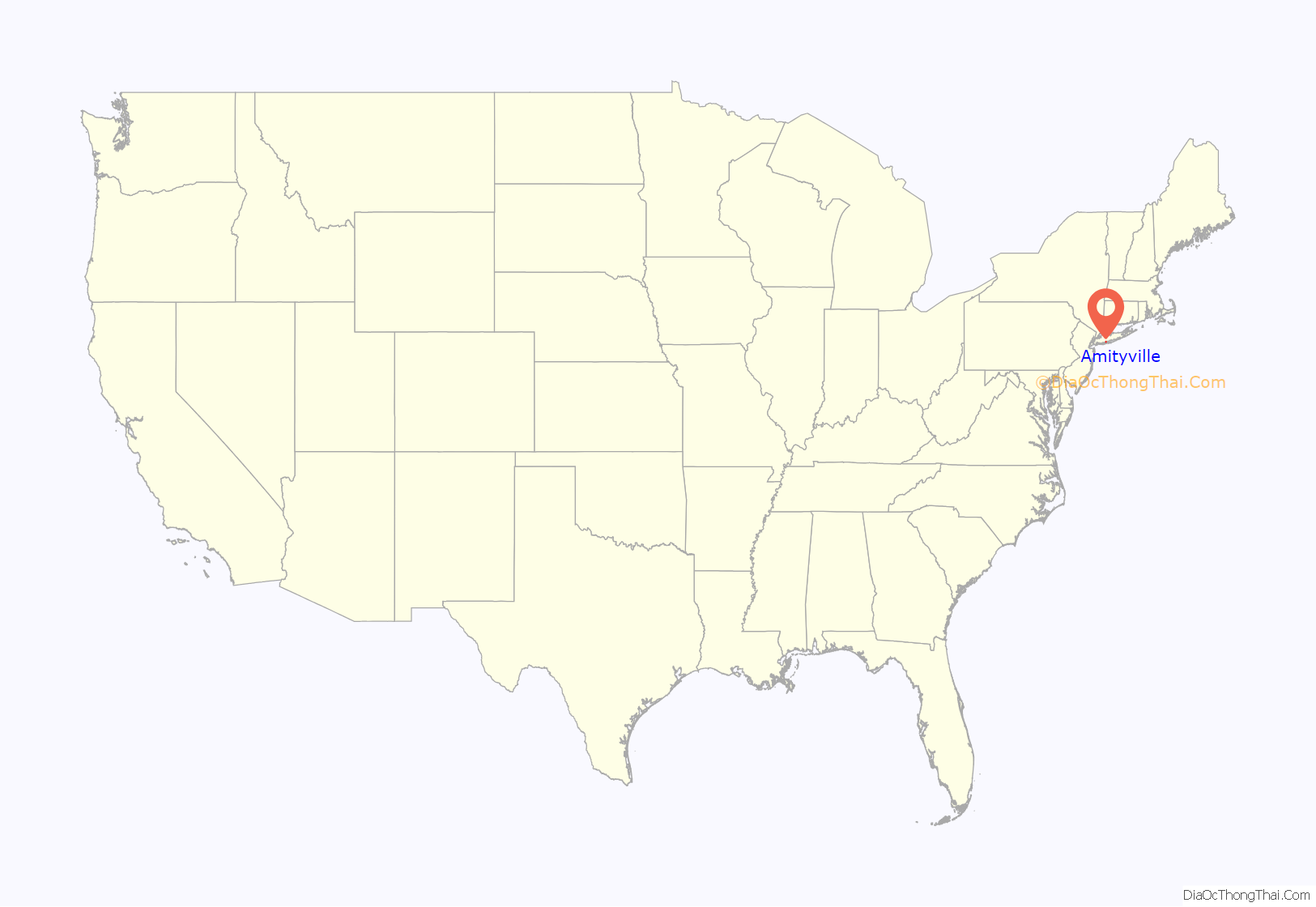
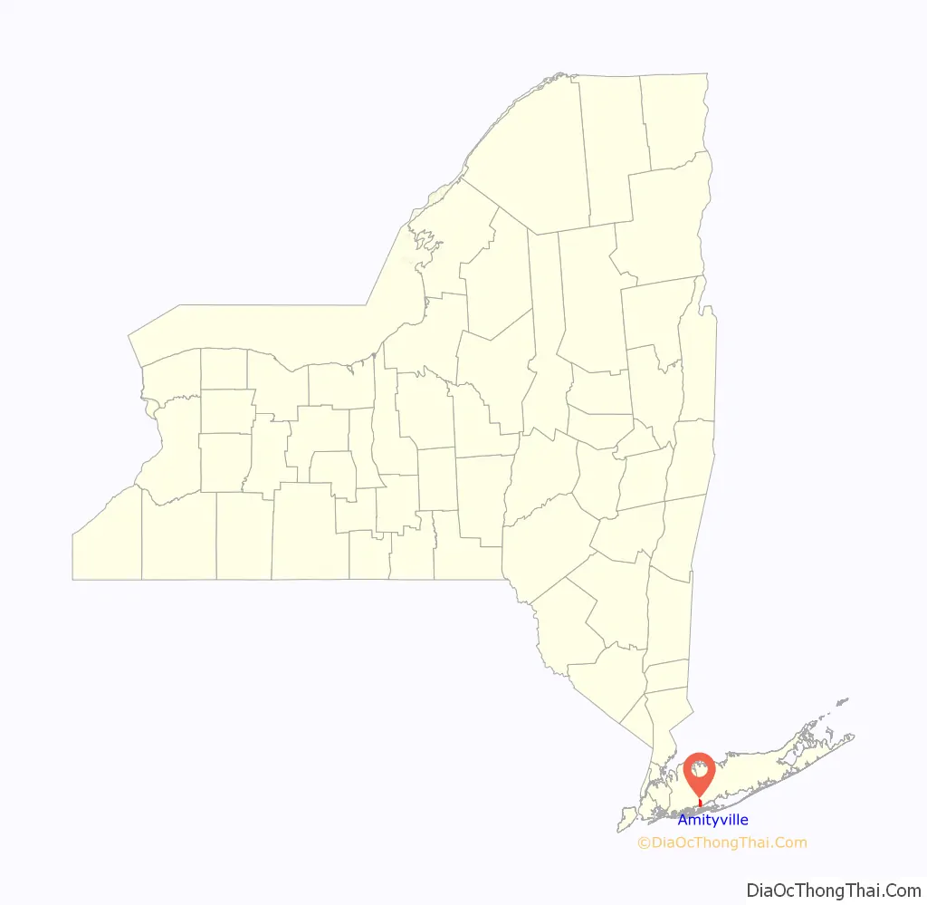
Amityville location map. Where is Amityville village?
History
Huntington settlers first visited the Amityville area in 1653 due to its location to a source of salt hay for use as animal fodder. Chief Wyandanch granted the first deed to land in Amityville in 1658. The area was originally called Huntington West Neck South (it is on the Great South Bay and Suffolk County, New York border in the southwest corner of what once called Huntington South), but is now the Town of Babylon. According to village lore, the name was changed in 1846 when residents were working to establish its new post office. The meeting turned into bedlam and one participant was to exclaim, “What this meeting needs is some amity”. Another version says the name was first suggested by mill owner Samuel Ireland to name the town for his boat, the Amity.
The place name is strictly speaking an incidental name, marking an amicable agreement on the choice of a place name. The village was formally incorporated on March 3, 1894. In the early 1900s, Amityville was a popular tourist destination with large hotels on the bay and large homes. Annie Oakley was said to be a frequent guest of vaudevillian Fred Stone. Will Rogers had a home across Clocks Boulevard from Stone. Gangster Al Capone also had a house in the community. Congregants began holding meeting for St. Mary’s Church in 1886, building a Chapel in 1888 by Wesley Ketcham under Rev. James H Noble and the church was consecrated in 1889, pre-dating the town incorporation.
Amityville has been a sister city with Le Bourget, France since 1979.
The Amityville Horror
Amityville is the setting of the book The Amityville Horror by Jay Anson, which was published in 1977 and has been adapted into a series of films starting in 1979. The story of The Amityville Horror can be traced back to a real life murder case in Amityville in November 1974, when Ronald DeFeo Jr. shot all six members of his family at 112 Ocean Avenue. In December 1975 George and Kathy Lutz and Kathy’s three children moved into the house, but left after twenty-eight days, claiming to have been terrorized by paranormal phenomena produced by the house. Jay Anson’s novel is said to be based on these events but has been the subject of much controversy; the murder case actually happened, but there has been no evidence that the house is or was haunted.
The local residents and authorities in Amityville are unhappy with the attention that The Amityville Horror brings to the town, and tend to decline requests to discuss it publicly. The website of the Amityville Historical Society makes no mention of the murders in 1974 or the period that the Lutz family lived at the house. When the History Channel made its documentary about The Amityville Horror in 2000, no member of the Historical Society would discuss the matter on camera.
The house featured in the novel still exists but has been renovated and the address changed in order to discourage tourists from visiting it. The Dutch Colonial Revival architecture house built in 1927 was put on the market in May 2010 for $1.15 million and sold in September for $950,000 (equivalent to $1.2 million in 2021).
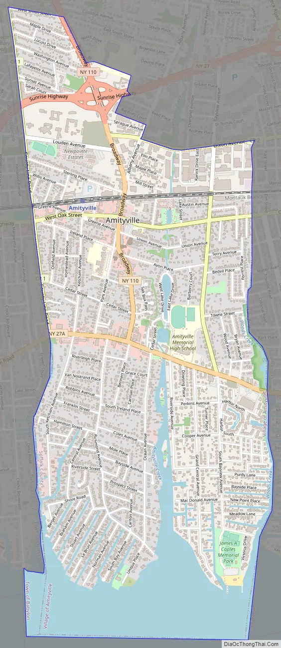
Amityville Road Map
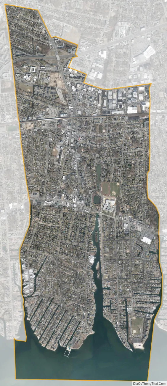
Amityville city Satellite Map
Geography
According to the United States Census Bureau, the village has a total area of 2.5 square miles (6.5 km), of which 2.1 square miles (5.4 km) is land and 0.4 square miles (1.0 km) is water, comprising a total of 15.38% water.
The Village of Amityville is bordered to the west by East Massapequa (in Nassau County), to the north by North Amityville, to the east and the south by Copiague, and to the south by the Great South Bay.
See also
Map of New York State and its subdivision:- Albany
- Allegany
- Bronx
- Broome
- Cattaraugus
- Cayuga
- Chautauqua
- Chemung
- Chenango
- Clinton
- Columbia
- Cortland
- Delaware
- Dutchess
- Erie
- Essex
- Franklin
- Fulton
- Genesee
- Greene
- Hamilton
- Herkimer
- Jefferson
- Kings
- Lake Ontario
- Lewis
- Livingston
- Madison
- Monroe
- Montgomery
- Nassau
- New York
- Niagara
- Oneida
- Onondaga
- Ontario
- Orange
- Orleans
- Oswego
- Otsego
- Putnam
- Queens
- Rensselaer
- Richmond
- Rockland
- Saint Lawrence
- Saratoga
- Schenectady
- Schoharie
- Schuyler
- Seneca
- Steuben
- Suffolk
- Sullivan
- Tioga
- Tompkins
- Ulster
- Warren
- Washington
- Wayne
- Westchester
- Wyoming
- Yates
- Alabama
- Alaska
- Arizona
- Arkansas
- California
- Colorado
- Connecticut
- Delaware
- District of Columbia
- Florida
- Georgia
- Hawaii
- Idaho
- Illinois
- Indiana
- Iowa
- Kansas
- Kentucky
- Louisiana
- Maine
- Maryland
- Massachusetts
- Michigan
- Minnesota
- Mississippi
- Missouri
- Montana
- Nebraska
- Nevada
- New Hampshire
- New Jersey
- New Mexico
- New York
- North Carolina
- North Dakota
- Ohio
- Oklahoma
- Oregon
- Pennsylvania
- Rhode Island
- South Carolina
- South Dakota
- Tennessee
- Texas
- Utah
- Vermont
- Virginia
- Washington
- West Virginia
- Wisconsin
- Wyoming


