Asharoken is a village in the Town of Huntington in Suffolk County, on the North Shore of Long Island in New York. The population was 654 at the 2010 census.
| Name: | Asharoken village |
|---|---|
| LSAD Code: | 47 |
| LSAD Description: | village (suffix) |
| State: | New York |
| County: | Suffolk County |
| Incorporated: | 1925 |
| Elevation: | 13 ft (4 m) |
| Total Area: | 6.48 sq mi (16.80 km²) |
| Land Area: | 1.42 sq mi (3.68 km²) |
| Water Area: | 5.06 sq mi (13.11 km²) |
| Total Population: | 592 |
| Population Density: | 416.32/sq mi (160.71/km²) |
| ZIP code: | 11768 |
| Area code: | 631, 934 |
| FIPS code: | 3602737 |
| GNISfeature ID: | 0942621 |
Online Interactive Map
Click on ![]() to view map in "full screen" mode.
to view map in "full screen" mode.
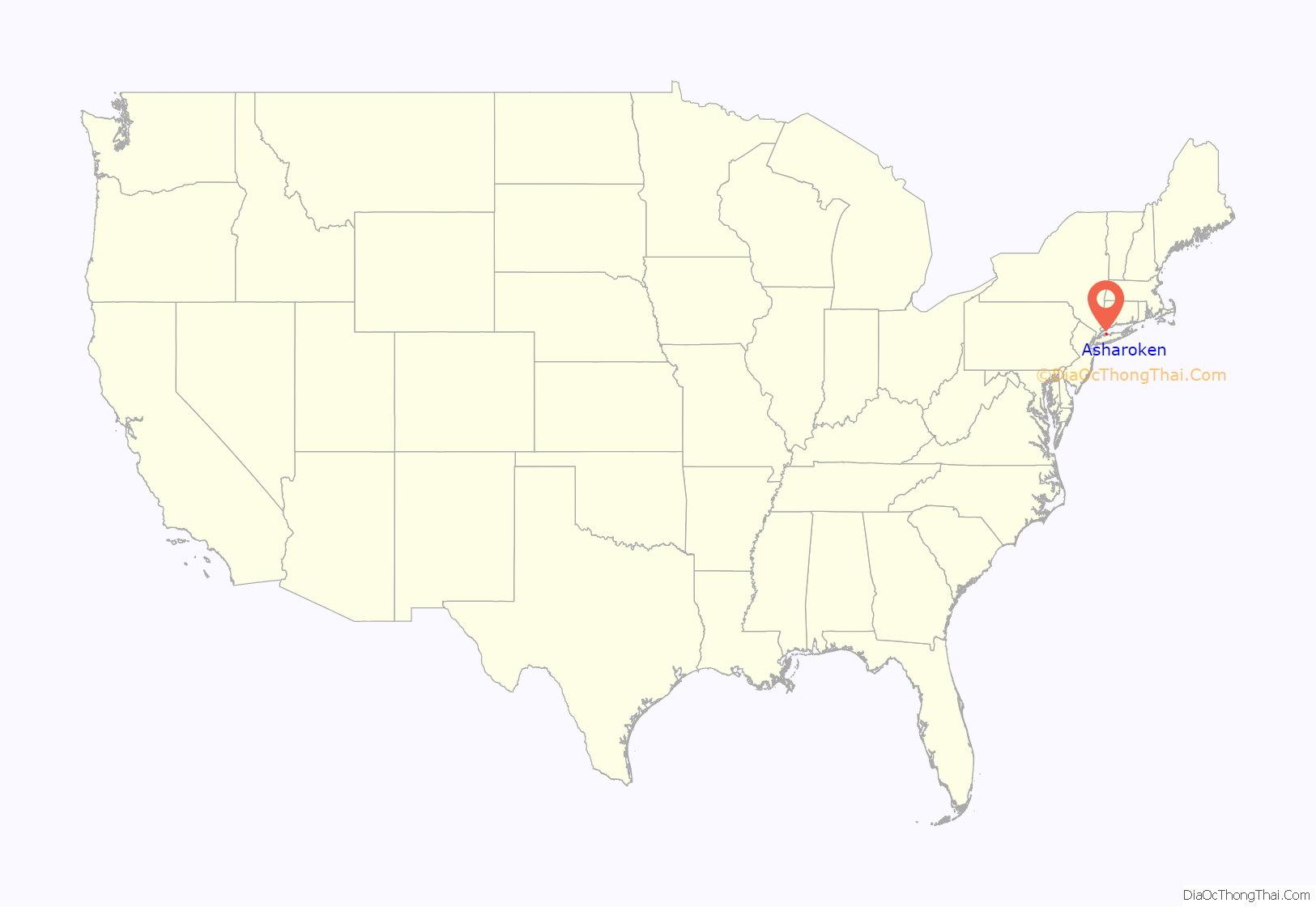
Asharoken location map. Where is Asharoken village?
History
Asharoken incorporated as a village in 1925, so as to have a greater ability to control local beaches and roadways through home rule.
The Village of Asharoken is named after Chief Asharoken, head of the Matinecock Native American tribe which inhabited the area prior to English settlements. Chief Asharoken sold the land that is now Asharoken, Eatons Neck, and Northport to European settlers in 1656.
Asharoken Road Map
Asharoken city Satellite Map
Geography
According to the United States Census Bureau, the village has a total area of 6.5 square miles (17 km), of which 1.4 square miles (3.6 km) is land and 5.1 square miles (13 km), or 78.92%, is water.
The village limits enclose part of Eatons Neck and a long, low, narrow isthmus (itself referred to as Asharoken) connecting Northport in the southeast to Eaton’s Neck in the northwest, and separating Northport Bay from Long Island Sound.
See also
Map of New York State and its subdivision:- Albany
- Allegany
- Bronx
- Broome
- Cattaraugus
- Cayuga
- Chautauqua
- Chemung
- Chenango
- Clinton
- Columbia
- Cortland
- Delaware
- Dutchess
- Erie
- Essex
- Franklin
- Fulton
- Genesee
- Greene
- Hamilton
- Herkimer
- Jefferson
- Kings
- Lake Ontario
- Lewis
- Livingston
- Madison
- Monroe
- Montgomery
- Nassau
- New York
- Niagara
- Oneida
- Onondaga
- Ontario
- Orange
- Orleans
- Oswego
- Otsego
- Putnam
- Queens
- Rensselaer
- Richmond
- Rockland
- Saint Lawrence
- Saratoga
- Schenectady
- Schoharie
- Schuyler
- Seneca
- Steuben
- Suffolk
- Sullivan
- Tioga
- Tompkins
- Ulster
- Warren
- Washington
- Wayne
- Westchester
- Wyoming
- Yates
- Alabama
- Alaska
- Arizona
- Arkansas
- California
- Colorado
- Connecticut
- Delaware
- District of Columbia
- Florida
- Georgia
- Hawaii
- Idaho
- Illinois
- Indiana
- Iowa
- Kansas
- Kentucky
- Louisiana
- Maine
- Maryland
- Massachusetts
- Michigan
- Minnesota
- Mississippi
- Missouri
- Montana
- Nebraska
- Nevada
- New Hampshire
- New Jersey
- New Mexico
- New York
- North Carolina
- North Dakota
- Ohio
- Oklahoma
- Oregon
- Pennsylvania
- Rhode Island
- South Carolina
- South Dakota
- Tennessee
- Texas
- Utah
- Vermont
- Virginia
- Washington
- West Virginia
- Wisconsin
- Wyoming


