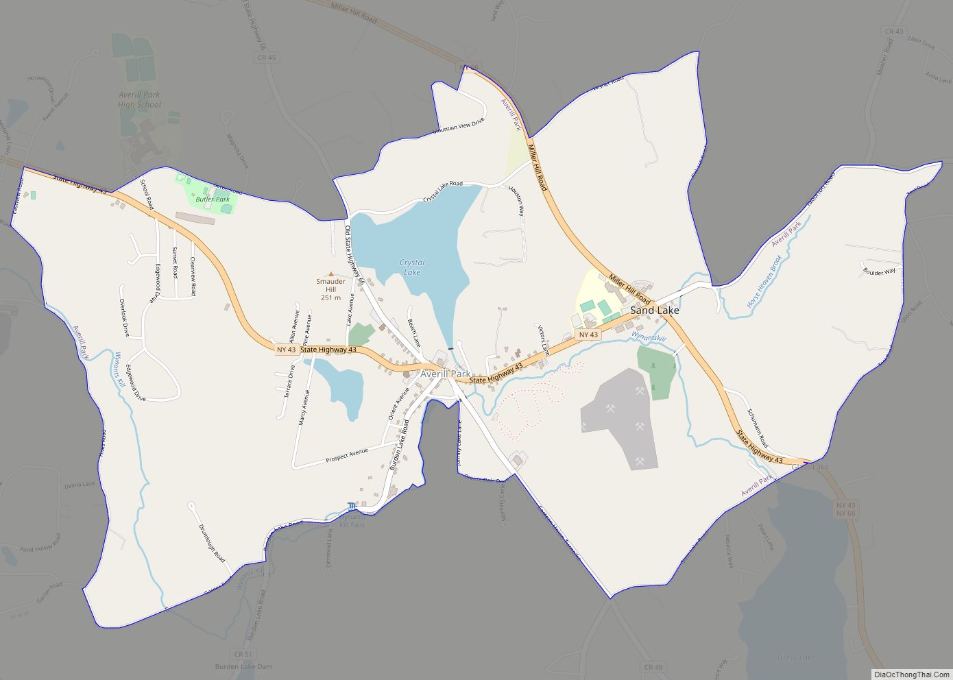
Averill Park is a census-designated place within the town of Sand Lake in Rensselaer County, New York, United States. The population was 2,098 at the 2020 census.
The community is named after the local Averill family. It is located on Route 43, south of Crystal Lake and east of West Sand Lake.
The Sand Lake Baptist Church was listed on the National Register of Historic Places in 2004.
| Name: | Averill Park CDP |
|---|---|
| LSAD Code: | 57 |
| LSAD Description: | CDP (suffix) |
| State: | New York |
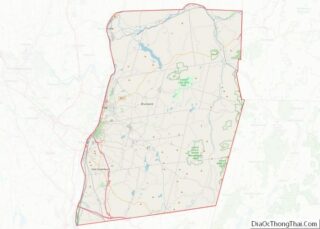
| County: | Rensselaer County |
| Elevation: | 784 ft (239 m) |
| Total Area: | 4.16 sq mi (10.77 km²) |
| Land Area: | 4.04 sq mi (10.46 km²) |
| Water Area: | 0.12 sq mi (0.32 km²) |
| Total Population: | 2,098 |
| Population Density: | 519.69/sq mi (200.66/km²) |
| ZIP code: | 12018 |
| Area code: | 518 |
| FIPS code: | 3603320 |
| GNISfeature ID: | 0942730 |
Online Interactive Map
Click on ![]() to view map in "full screen" mode.
to view map in "full screen" mode.
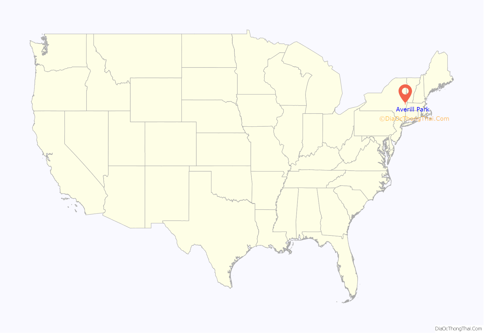
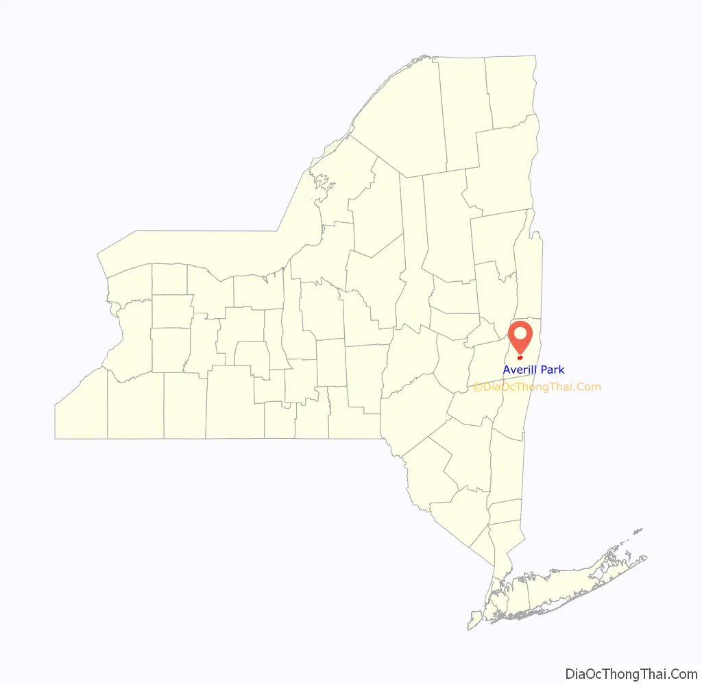
Averill Park location map. Where is Averill Park CDP?
History
Originally known only as part of greater Sand Lake, the community along with neighboring towns grew with the nineteenth-century development of wool and cotton textile manufacturing by local watermills and knitting factories along the Wynants Kill tributary of the Hudson River. By the 1880s, several independent local mills produced hosiery, undergarments, and knit shirts.
The hamlet was named Averill in 1880 after a local leading family, then in 1882 renamed Averill Park in promotion of local summer-resort development and of the Troy & New England Railway, a never-completed trolley and freight line intended to connect the city of Troy, New York with the mills and summer resorts of Averill Park and its “upstate Coney Island” recreational Crystal Lake Beach, and with the mills of the neighboring town of West Sand Lake.
The local mills declined after the increasing efficiency of steam and electrical power improved competition from regional factories, and were then destroyed by a 1891 river flood. The Faith Knitting Company (later Faith Mills), founded in 1897, restored local industry by buying and re-equipping the old mills and rehiring local labor. Other late-nineteenth- and early-twentieth-century firms included Jake Warger’s Dry Goods Store; Gilbert Beebe’s blacksmith shop; Stout’s Hardware; and Park Pharmacy, where Jerry Lewis worked as a soda jerk in 1942 when his father was a superintendent at Faith Mills.
Mid-nineteenth- to early twentieth-century seasonal hotels included Al’s Place, Hilke’s Averill Park Hotel (previously housing Scram’s Collegiate Institute), Traveler’s Rest (aka Sand Lake House, Tillotson’s Hotel, and Wagner’s Hotel), the Lake View Hotel (aka Blake’s and the Gabler Hotel, later housing the Averill Park Female Seminary), and Clum’s. For mill workers and townspeople, Faith Mills’s Clubhouse was “the entertainment center of the town for many years,” complete with dance hall, motion picture parlor, cafeteria, bowling alleys, pocket billiard room, and shower room.
Faith Mills’s decline, and with it that of Averill Park, began in the Great Depression, during which local textile mills did not regain business till 1932. During World War II, manufacture of wool blankets and long woolen underwear for the military earned Faith Mills four rare “excellence in production” Army-Navy “E” Awards.
From 1955 to 1962, Faith Mills, by then one of only three remaining U.S. manufacturers of woolen long underwear “considered obsolete by most persons” as the market shifted to cotton undergarments, was sold to holding companies and downsized to one factory in Averill Park employing as few as 54 workers, finally closing in 1962. In 1965, the factory was to manufacture a “floor-sweeping compound” and become a warehouse for corrugated shipping containers, employing 15 workers.
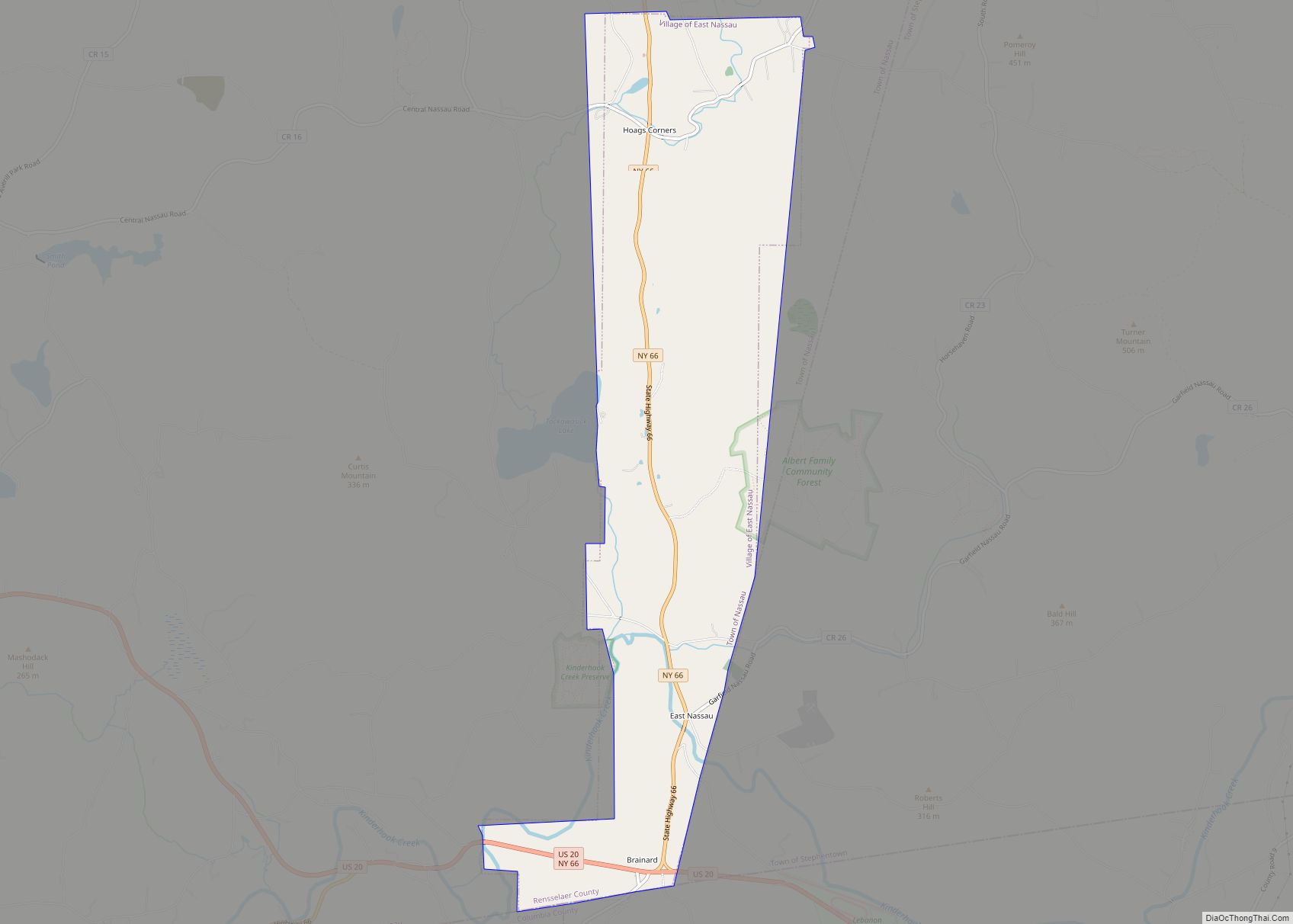
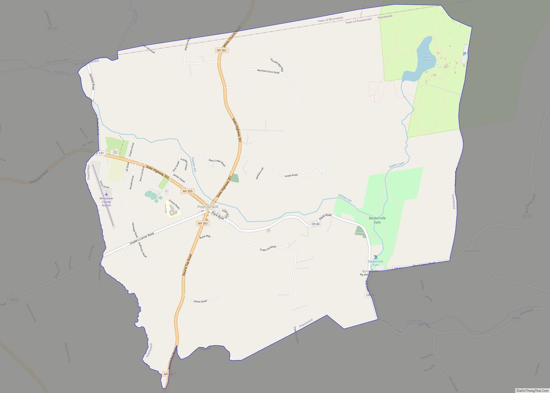
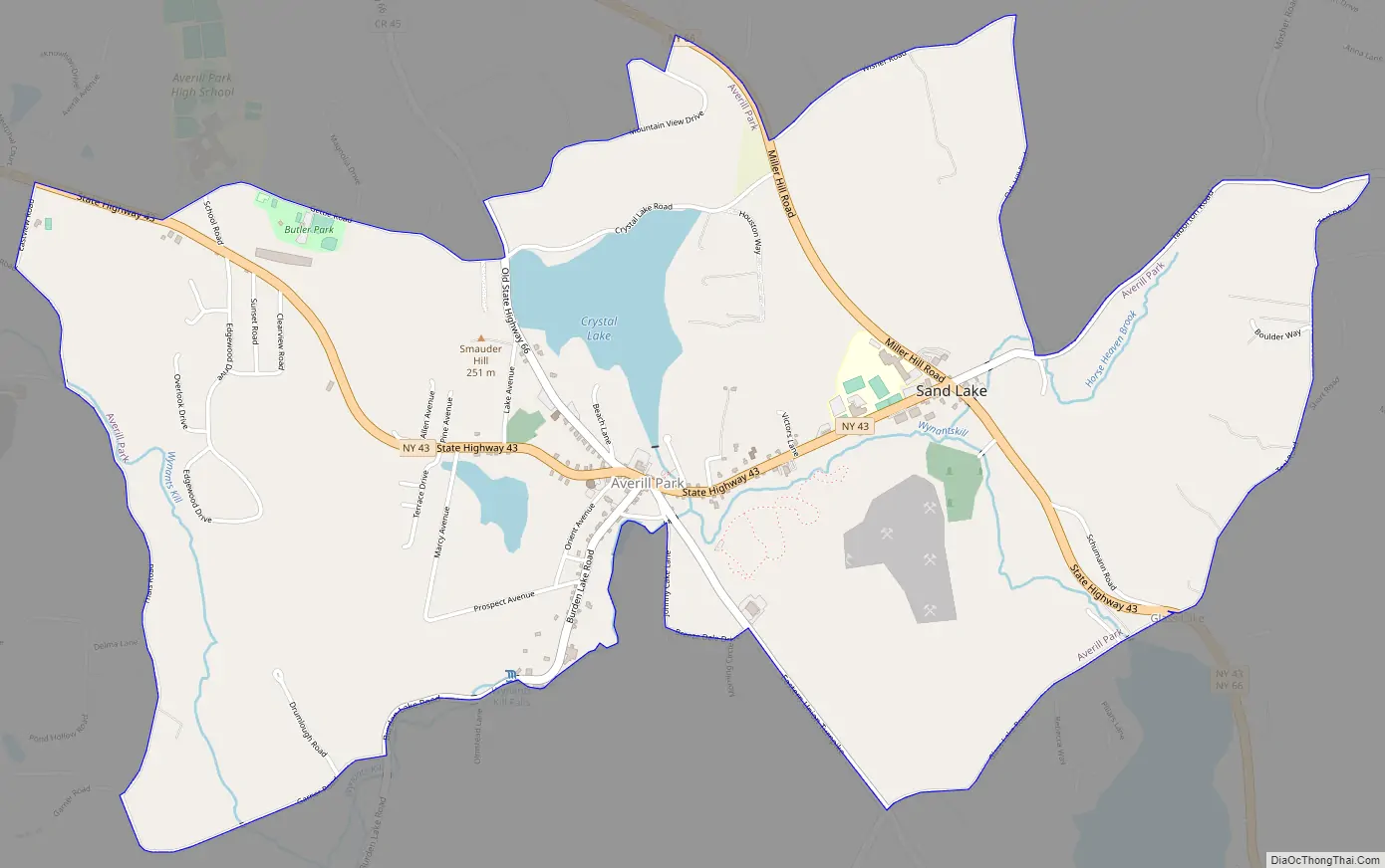
Averill Park Road Map
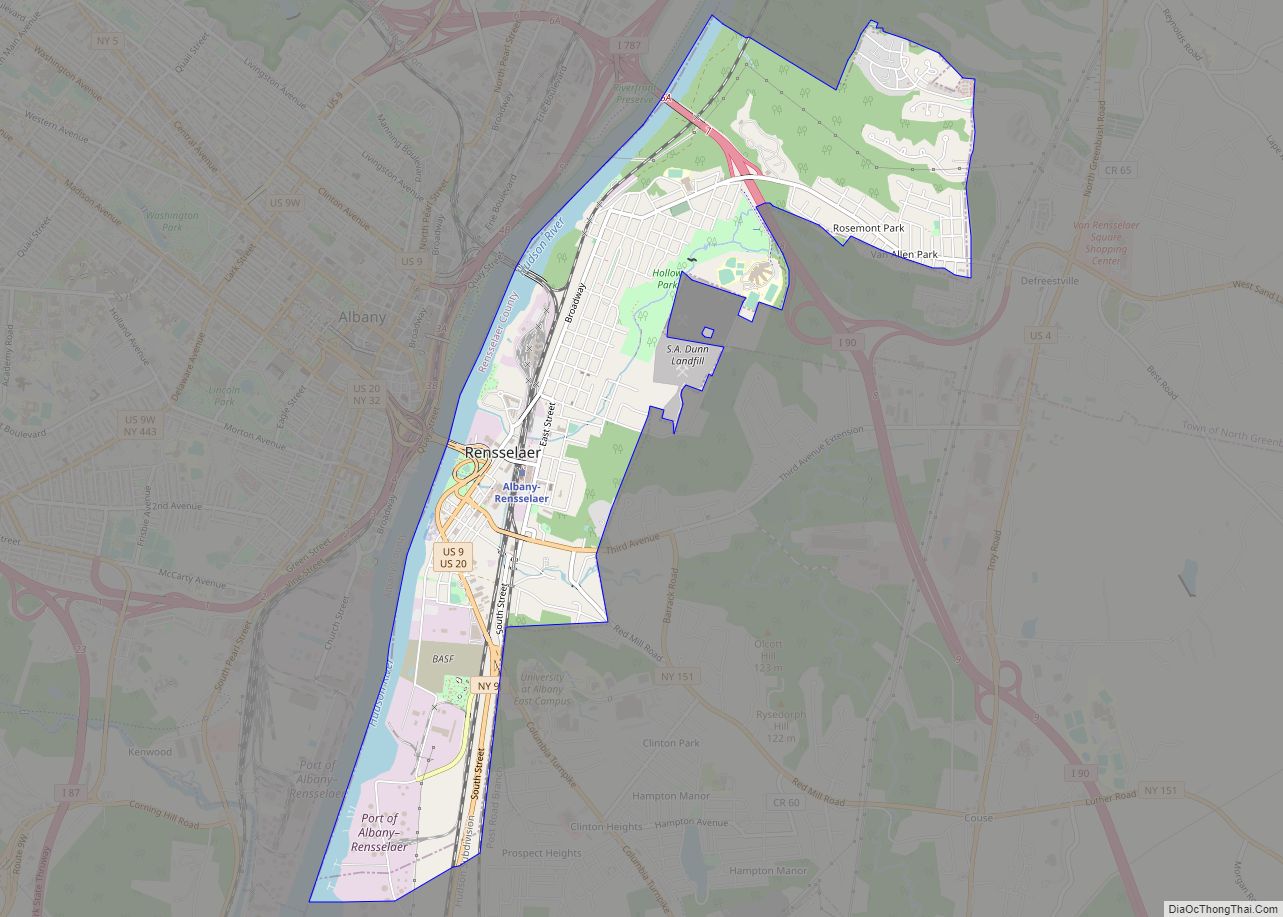
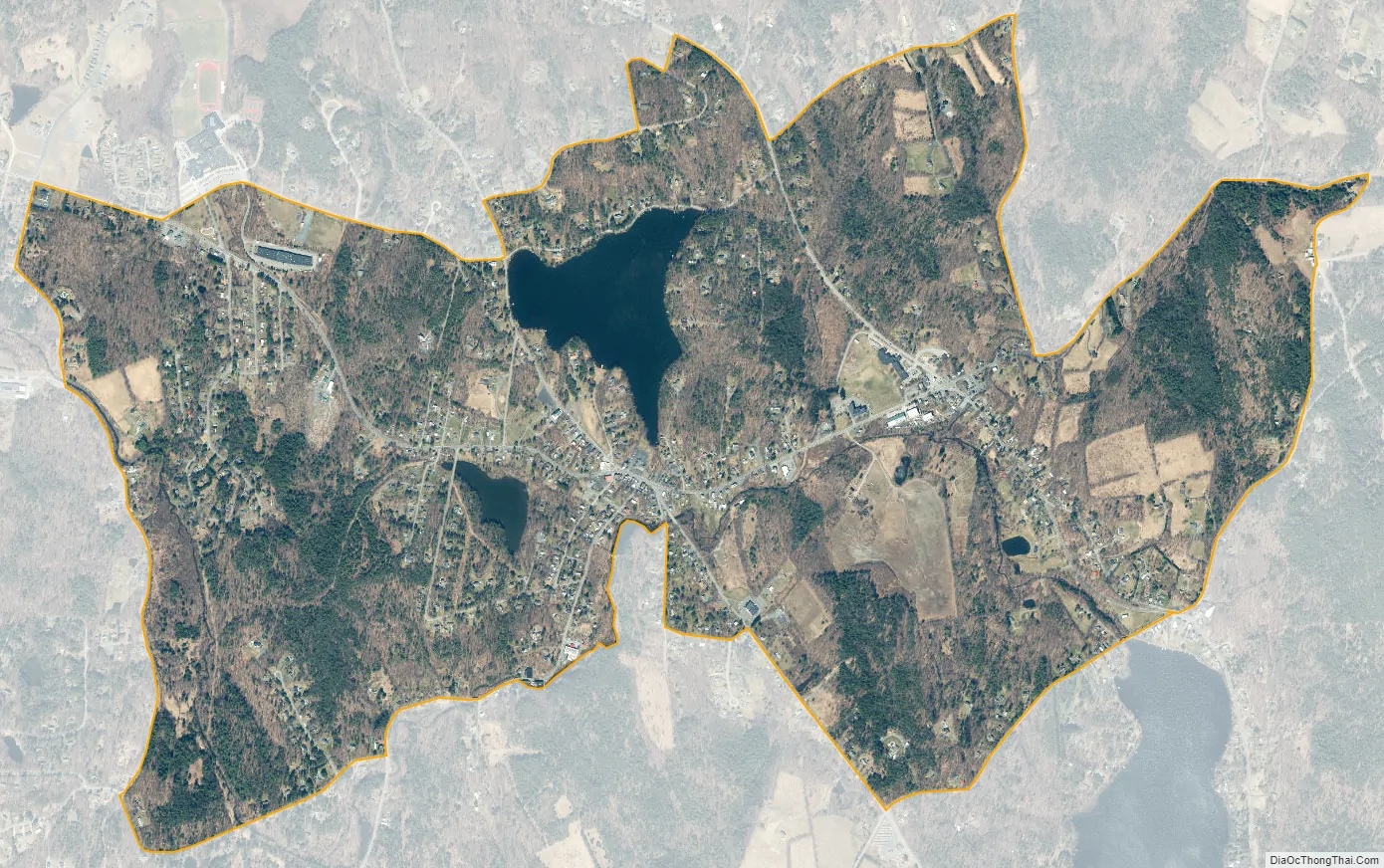
Averill Park city Satellite Map
See also
Map of New York State and its subdivision:- Albany
- Allegany
- Bronx
- Broome
- Cattaraugus
- Cayuga
- Chautauqua
- Chemung
- Chenango
- Clinton
- Columbia
- Cortland
- Delaware
- Dutchess
- Erie
- Essex
- Franklin
- Fulton
- Genesee
- Greene
- Hamilton
- Herkimer
- Jefferson
- Kings
- Lake Ontario
- Lewis
- Livingston
- Madison
- Monroe
- Montgomery
- Nassau
- New York
- Niagara
- Oneida
- Onondaga
- Ontario
- Orange
- Orleans
- Oswego
- Otsego
- Putnam
- Queens
- Rensselaer
- Richmond
- Rockland
- Saint Lawrence
- Saratoga
- Schenectady
- Schoharie
- Schuyler
- Seneca
- Steuben
- Suffolk
- Sullivan
- Tioga
- Tompkins
- Ulster
- Warren
- Washington
- Wayne
- Westchester
- Wyoming
- Yates
- Alabama
- Alaska
- Arizona
- Arkansas
- California
- Colorado
- Connecticut
- Delaware
- District of Columbia
- Florida
- Georgia
- Hawaii
- Idaho
- Illinois
- Indiana
- Iowa
- Kansas
- Kentucky
- Louisiana
- Maine
- Maryland
- Massachusetts
- Michigan
- Minnesota
- Mississippi
- Missouri
- Montana
- Nebraska
- Nevada
- New Hampshire
- New Jersey
- New Mexico
- New York
- North Carolina
- North Dakota
- Ohio
- Oklahoma
- Oregon
- Pennsylvania
- Rhode Island
- South Carolina
- South Dakota
- Tennessee
- Texas
- Utah
- Vermont
- Virginia
- Washington
- West Virginia
- Wisconsin
- Wyoming