Baldwin is a hamlet located in the Town of Hempstead in Nassau County, on Long Island, New York, United States. It had a population of 33,919 in 2020.
| Name: | Baldwin CDP |
|---|---|
| LSAD Code: | 57 |
| LSAD Description: | CDP (suffix) |
| State: | New York |
| County: | Nassau County |
| Elevation: | 23 ft (7.0104 m) |
| Total Area: | 24,033 |
| ZIP code: | 11510 |
| Area code: | 516 |
| FIPS code: | 3604143 |
| GNISfeature ID: | 942888 |
| Website: | baldwinchamber.com |
Online Interactive Map
Click on ![]() to view map in "full screen" mode.
to view map in "full screen" mode.
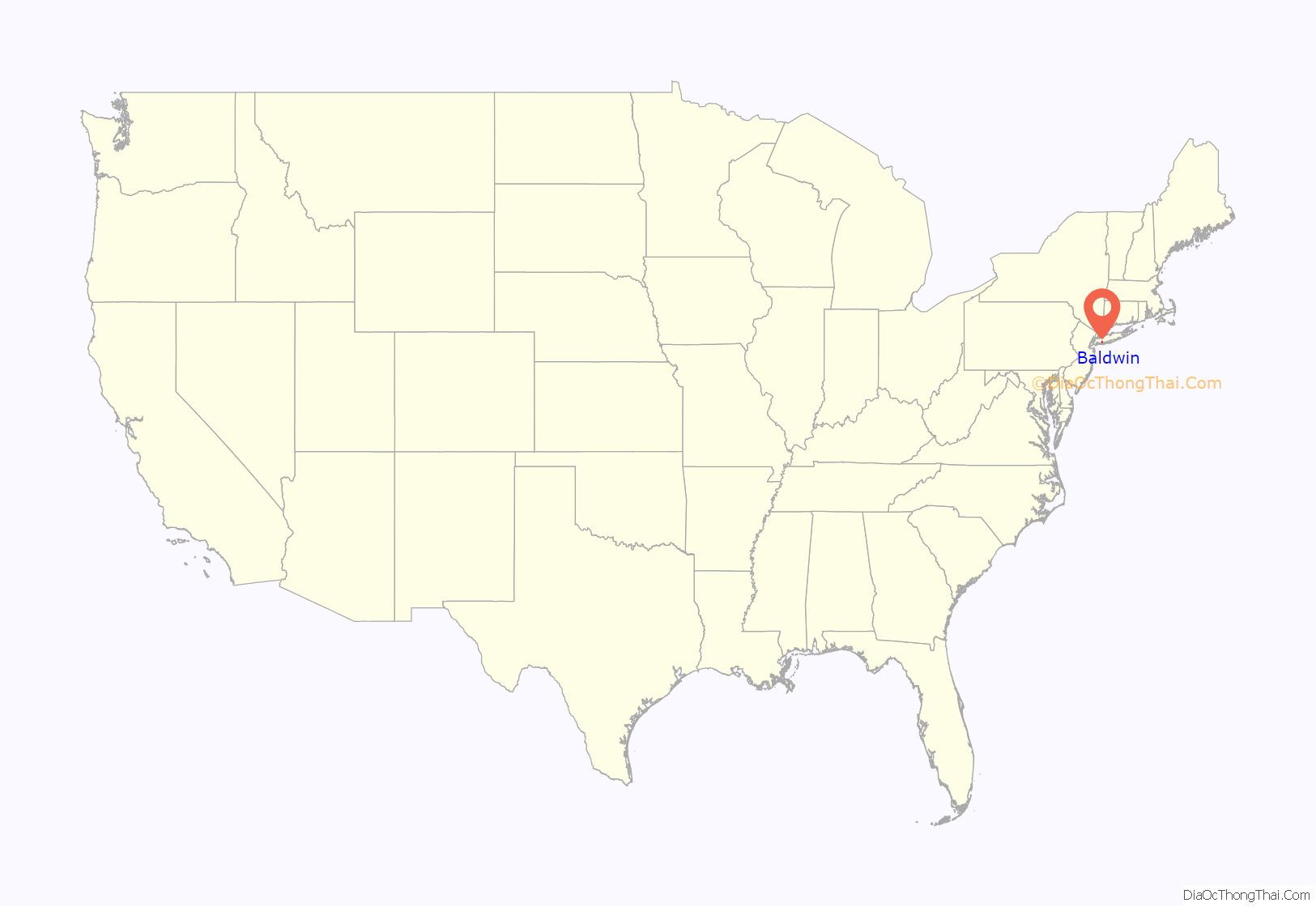
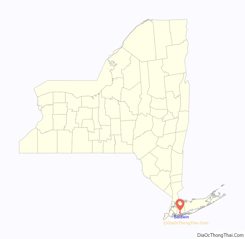
Baldwin location map. Where is Baldwin CDP?
History
The original inhabitants of this area between Parsonage Creek near Oceanside and Milburn Creek near Freeport were Native Americans known as the Meroke, or Merrick, a band of Lenape people who were indigenous to most of the South Shore of Long Island. They spoke an Algonquian language and lived in two villages along Milburn Creek.
In 1643, English colonists began to call this area Hick’s Neck, after one of two of Hempstead’s early settlers, John Spragg from England and John Hicks from Flushing, New York. They extended the Hempstead village south to the salt meadows. The grist mill built by John Pine in 1686 on Milburn Creek attracted more English settlers. They engaged in fishing, farming, marshing, raising longwood, and breeding and raising sheep. Between the American Revolutionary War and the War of 1812, Hick’s Neck continued to grow, becoming a prosperous agricultural area.
The first churches were built in the area in 1810 and 1872, and the first school was built in 1813.
Sometime around the early 19th century Hick’s Neck began to be called Milburn. The first documented use of the name Milburn was in 1839. In 1855, the village was officially founded as Baldwinsville, named in honor of Thomas Baldwin (1795–1872), a sixth-generation member of the Baldwin family of Hempstead and the leading merchant of Milburn at the time. Baldwin owned a general store named T. Baldwin and Sons. He also had a hotel at what would now be considered the northwest corner of Merrick Road and Grand Avenue.
In 1867, the South Side Railroad began operating at a station in Baldwinsville. In 1870, one of Thomas Baldwin’s sons, Francis Baldwin, became a member of the New York State Assembly representing Queens County’s 2nd District; he later served as the Queens County treasurer. During this time, Baldwinsville was part of Queens County. A year later, the name of the village was changed from Baldwinsville to Baldwins by the U.S. Postal Service so as to not confuse it with the village of Baldwinsville in upstate New York. By 1892, by an act of local government, the village was officially named Baldwin.
Shortly after Hempstead separated from Queens County in 1899, people began to move to “Beautiful Baldwin”, as it was called by Charles Luerssen, a village realtor. The village had boating (sailboats), bathing, and fishing. By 1939, ten years after the opening of Sunrise Highway, Baldwin became the largest unincorporated village in New York State—a title that was lost to Levittown by 1960.
In the 1990 US Census, the area south of Atlantic Avenue was designated as Baldwin Harbor, a hamlet and census-designated place. Baldwin Harbor remains a part of Baldwin’s ZIP code, school district, and library system.
In May 1910, a breakthrough in American aviation history was made in Baldwin. The first all-American monoplane was designed, built, and successfully flown at this location by brothers Arthur and Albert Heinrich. The project was developed at the site now occupied by the Plaza Elementary School on Seaman Avenue and Rockville Drive. In the plane’s initial and subsequent models, its unique designs featured controls that were combined into one stick, which allowed the pilot to fly the plane using one hand.
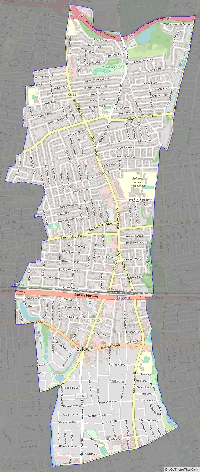
Baldwin Road Map
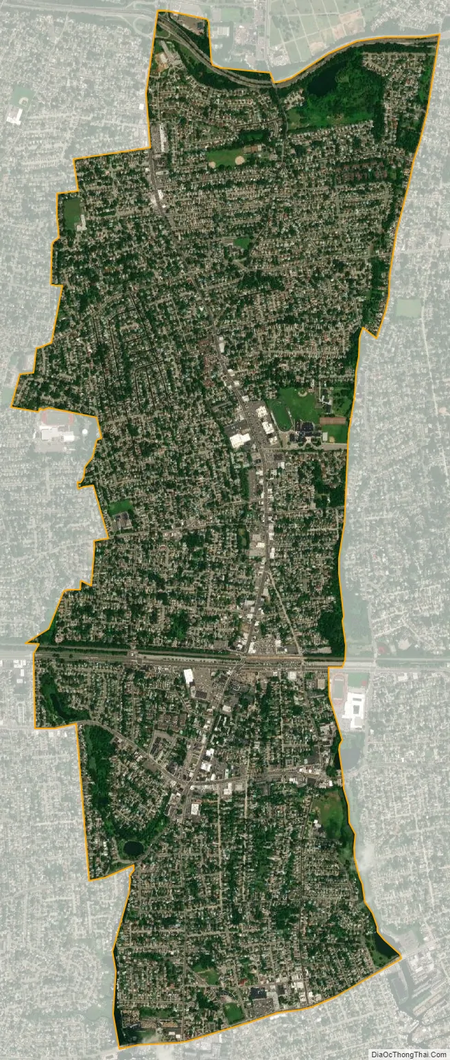
Baldwin city Satellite Map
Geography
The community is located in the southwestern section of Nassau County, on Long Island’s South Shore of Long Island.
According to the United States Census Bureau, the hamlet has a total area of 3.0 square miles (7.8 km), of which 0.34% is water.
Climate
The climate is borderline between a hot summer humid continental climate (Dfa) and a humid subtropical climate (Cfa). Average monthly temperatures in the village center range from 31.9 °F in January to 74.8 °F in July. The local hardiness zone is 7b.
See also
Map of New York State and its subdivision:- Albany
- Allegany
- Bronx
- Broome
- Cattaraugus
- Cayuga
- Chautauqua
- Chemung
- Chenango
- Clinton
- Columbia
- Cortland
- Delaware
- Dutchess
- Erie
- Essex
- Franklin
- Fulton
- Genesee
- Greene
- Hamilton
- Herkimer
- Jefferson
- Kings
- Lake Ontario
- Lewis
- Livingston
- Madison
- Monroe
- Montgomery
- Nassau
- New York
- Niagara
- Oneida
- Onondaga
- Ontario
- Orange
- Orleans
- Oswego
- Otsego
- Putnam
- Queens
- Rensselaer
- Richmond
- Rockland
- Saint Lawrence
- Saratoga
- Schenectady
- Schoharie
- Schuyler
- Seneca
- Steuben
- Suffolk
- Sullivan
- Tioga
- Tompkins
- Ulster
- Warren
- Washington
- Wayne
- Westchester
- Wyoming
- Yates
- Alabama
- Alaska
- Arizona
- Arkansas
- California
- Colorado
- Connecticut
- Delaware
- District of Columbia
- Florida
- Georgia
- Hawaii
- Idaho
- Illinois
- Indiana
- Iowa
- Kansas
- Kentucky
- Louisiana
- Maine
- Maryland
- Massachusetts
- Michigan
- Minnesota
- Mississippi
- Missouri
- Montana
- Nebraska
- Nevada
- New Hampshire
- New Jersey
- New Mexico
- New York
- North Carolina
- North Dakota
- Ohio
- Oklahoma
- Oregon
- Pennsylvania
- Rhode Island
- South Carolina
- South Dakota
- Tennessee
- Texas
- Utah
- Vermont
- Virginia
- Washington
- West Virginia
- Wisconsin
- Wyoming


