Baxter Estates is a village in Nassau County, on the North Shore of Long Island, in New York, United States. It is considered part of the Greater Port Washington area, which is anchored by Port Washington. The population was 999 at the 2010 census.
The Incorporated Village of Baxter Estates is located on the Cow Neck Peninsula, within the Town of North Hempstead, and is recognized as a Tree City USA.
| Name: | Baxter Estates village |
|---|---|
| LSAD Code: | 47 |
| LSAD Description: | village (suffix) |
| State: | New York |
| County: | Nassau County |
| Incorporated: | 1931 |
| Elevation: | 39 ft (12 m) |
| Total Area: | 0.18 sq mi (0.47 km²) |
| Land Area: | 0.18 sq mi (0.47 km²) |
| Water Area: | 0.00 sq mi (0.00 km²) |
| Total Population: | 991 |
| Population Density: | 5,445.05/sq mi (2,096.79/km²) |
| ZIP code: | 11050 |
| FIPS code: | 3604803 |
| GNISfeature ID: | 0943176 |
| Website: | www.baxterestates.org |
Online Interactive Map
Click on ![]() to view map in "full screen" mode.
to view map in "full screen" mode.
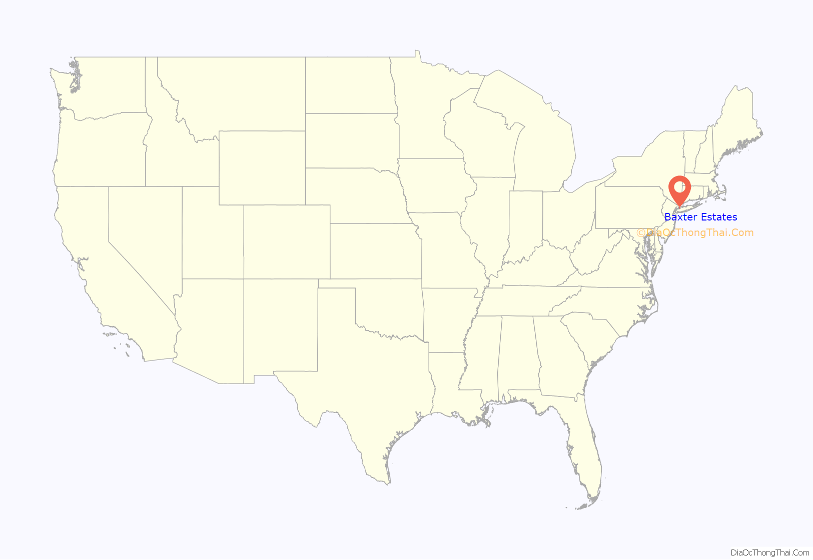
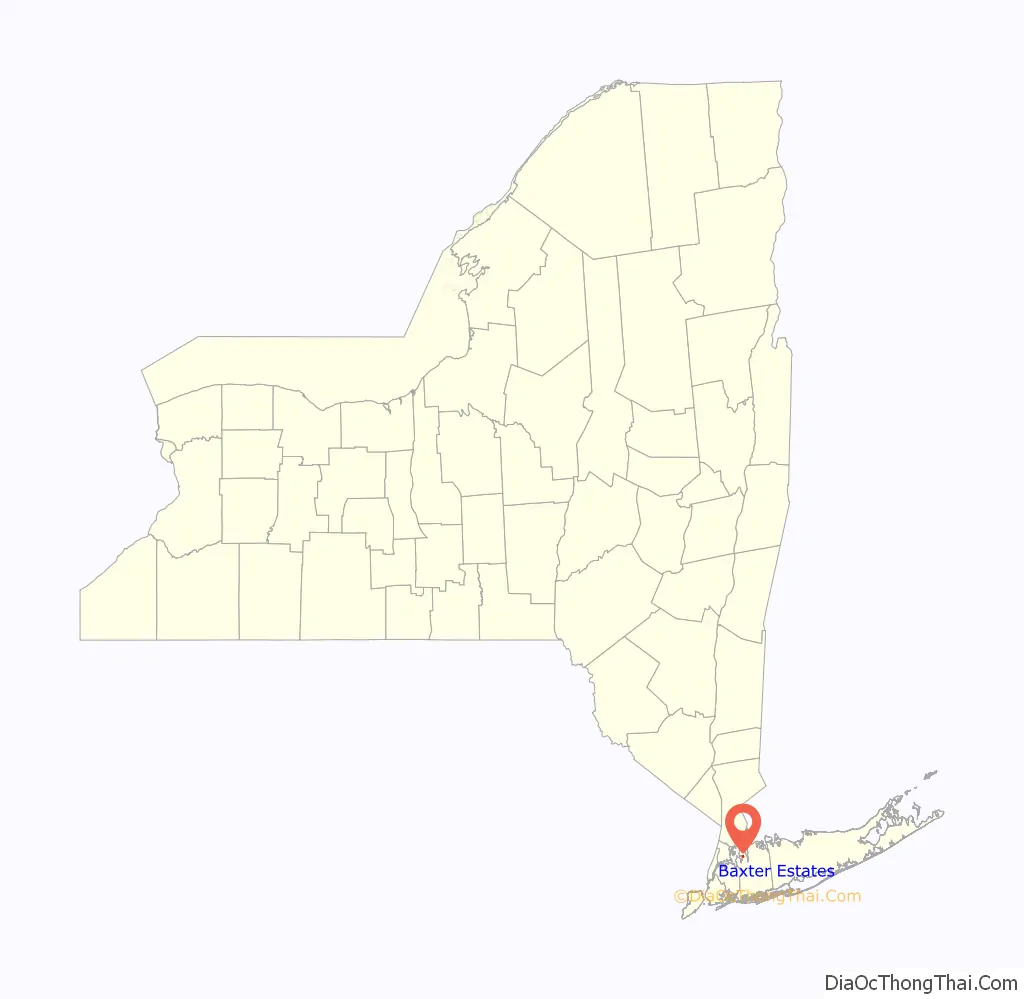
Baxter Estates location map. Where is Baxter Estates village?
History
The Village of Baxter Estates was incorporated in 1931. Baxter Estates owes much of its history to the homestead settlement of “Cow Neck” built in 1673 by John Betts and Robert Hutchings, which still stands on its original site at the corner of Central Drive and Shore Road, overlooking Manhasset Bay. This property was purchased around 1741 by Oliver Baxter, and maps of the time show that an entire wigwam village, belonging to the Matinecock Indians, may have been located on Baxter’s land.
The Baxters, who were shipbuilders, whalers and sea captains, retained the property until the 19th century. Hessian troops were quartered in the Baxter House during the Revolutionary War, and in 1895 the first library of Port Washington met in the parlor of the Baxter House. The residence was designated as a historic building. In the 2010s, the owner of the home, Sabrina Wu, was in the process of submitting plans to demolish the landmarked home when a massive blaze broke out, heavily damaging the home on February 5, 2017. The cause of the fire was not determined.
The village is named for the Baxter family, which owned a significant amount of land in the area.
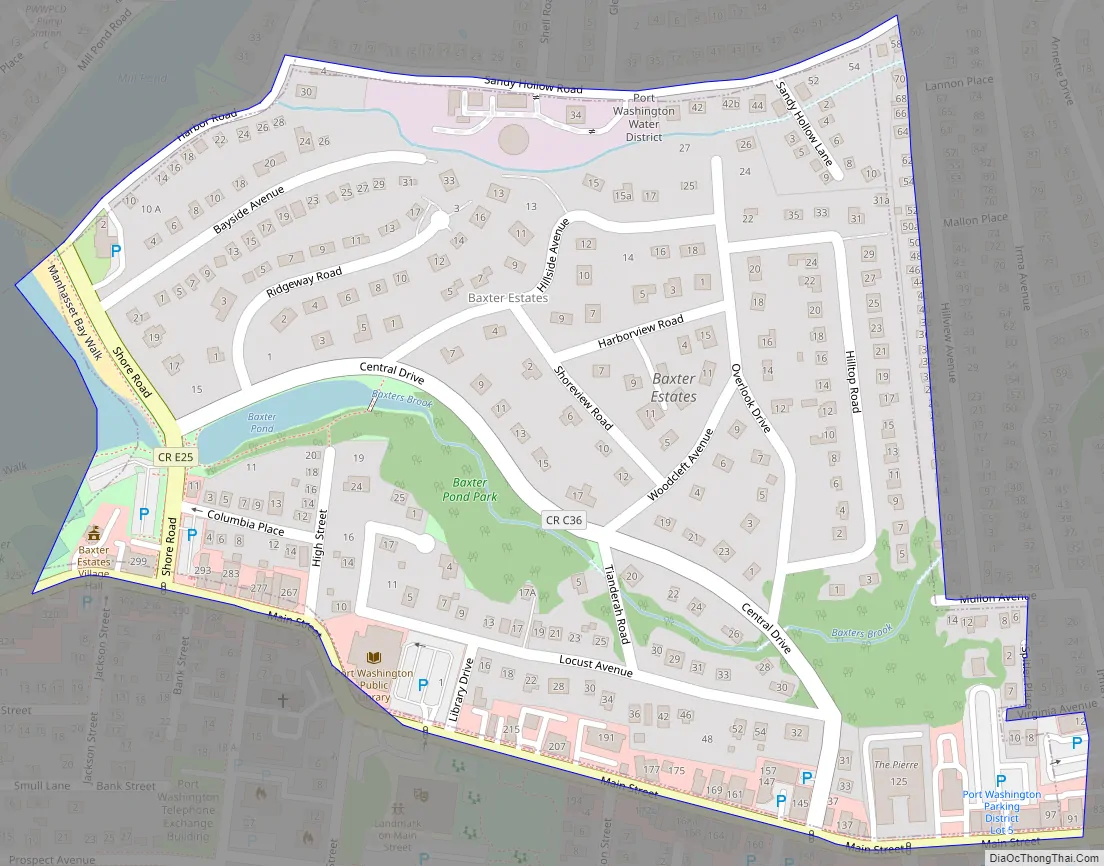
Baxter Estates Road Map
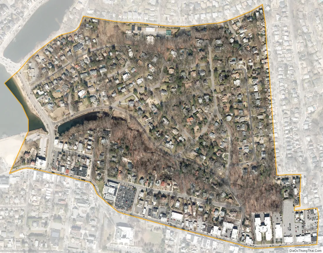
Baxter Estates city Satellite Map
Geography
According to the United States Census Bureau, the village has a total area of 0.2 square miles (0.52 km), all land.
Baxter Estates is located within the Manhasset Bay Watershed, which in turn is located within the larger Long Island Sound/Atlantic Ocean Watershed.
According to the United States Environmental Protection Agency and the United States Geological Survey, the highest point in Baxter Estates is located on Hilltop Road, at an elevation of 113 feet (34 m), and the lowest point is Manhasset Bay, which is at sea level.
See also
Map of New York State and its subdivision:- Albany
- Allegany
- Bronx
- Broome
- Cattaraugus
- Cayuga
- Chautauqua
- Chemung
- Chenango
- Clinton
- Columbia
- Cortland
- Delaware
- Dutchess
- Erie
- Essex
- Franklin
- Fulton
- Genesee
- Greene
- Hamilton
- Herkimer
- Jefferson
- Kings
- Lake Ontario
- Lewis
- Livingston
- Madison
- Monroe
- Montgomery
- Nassau
- New York
- Niagara
- Oneida
- Onondaga
- Ontario
- Orange
- Orleans
- Oswego
- Otsego
- Putnam
- Queens
- Rensselaer
- Richmond
- Rockland
- Saint Lawrence
- Saratoga
- Schenectady
- Schoharie
- Schuyler
- Seneca
- Steuben
- Suffolk
- Sullivan
- Tioga
- Tompkins
- Ulster
- Warren
- Washington
- Wayne
- Westchester
- Wyoming
- Yates
- Alabama
- Alaska
- Arizona
- Arkansas
- California
- Colorado
- Connecticut
- Delaware
- District of Columbia
- Florida
- Georgia
- Hawaii
- Idaho
- Illinois
- Indiana
- Iowa
- Kansas
- Kentucky
- Louisiana
- Maine
- Maryland
- Massachusetts
- Michigan
- Minnesota
- Mississippi
- Missouri
- Montana
- Nebraska
- Nevada
- New Hampshire
- New Jersey
- New Mexico
- New York
- North Carolina
- North Dakota
- Ohio
- Oklahoma
- Oregon
- Pennsylvania
- Rhode Island
- South Carolina
- South Dakota
- Tennessee
- Texas
- Utah
- Vermont
- Virginia
- Washington
- West Virginia
- Wisconsin
- Wyoming


