Bay Park is a hamlet and census-designated place (CDP) in the Town of Hempstead in Nassau County, on the South Shore of Long Island, in New York, United States. The population was 2,212 at the 2010 census.
| Name: | Bay Park CDP |
|---|---|
| LSAD Code: | 57 |
| LSAD Description: | CDP (suffix) |
| State: | New York |
| County: | Nassau County |
| Elevation: | 10 ft (3 m) |
| Total Area: | 0.60 sq mi (1.56 km²) |
| Land Area: | 0.50 sq mi (1.30 km²) |
| Water Area: | 0.10 sq mi (0.26 km²) |
| Total Population: | 2,117 |
| Population Density: | 4,217.13/sq mi (1,628.30/km²) |
| ZIP code: | 11518 |
| Area code: | 516 |
| FIPS code: | 3604891 |
| GNISfeature ID: | 0943183 |
Online Interactive Map
Click on ![]() to view map in "full screen" mode.
to view map in "full screen" mode.
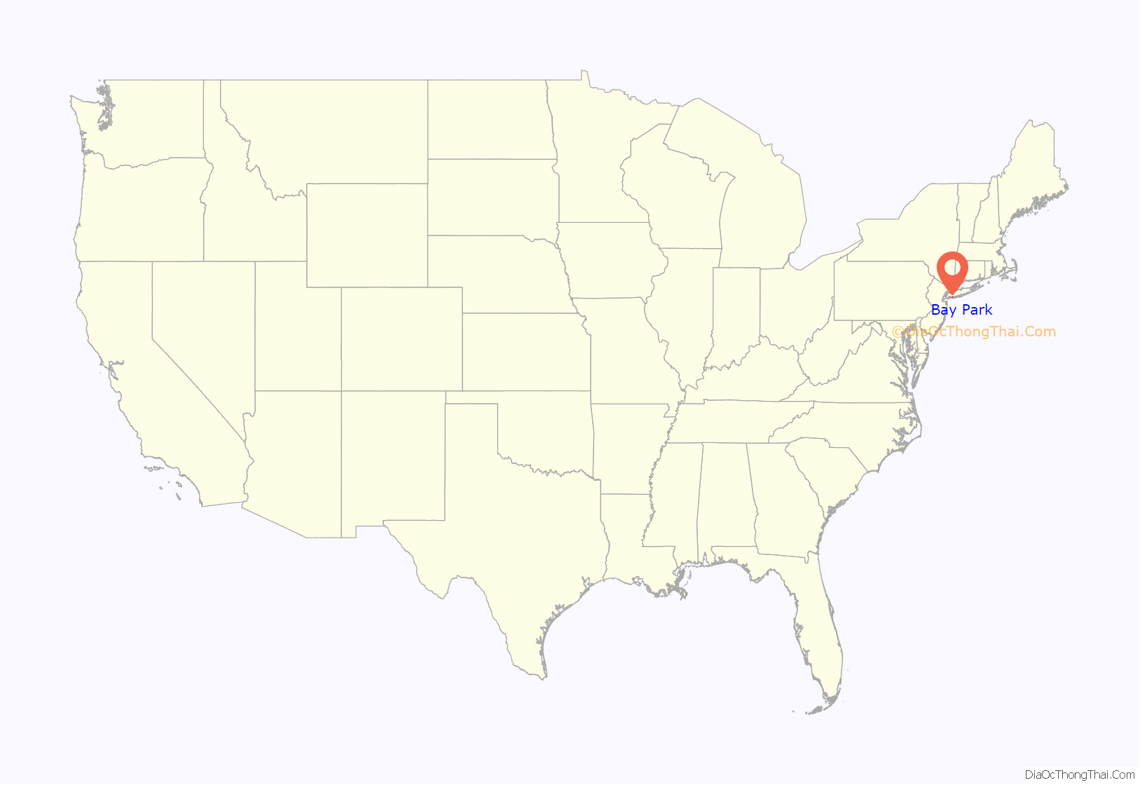
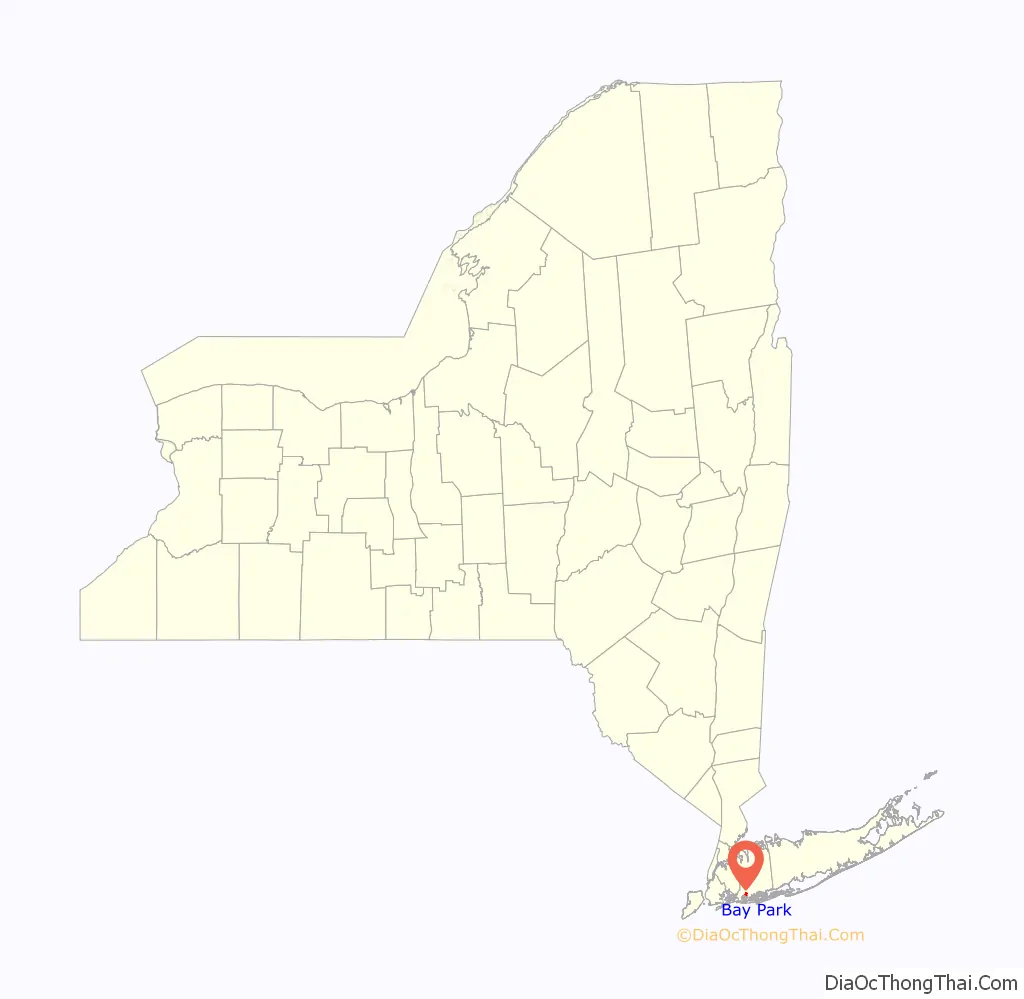
Bay Park location map. Where is Bay Park CDP?
History
Bay Park was part of neighboring East Rockaway until 1912.
The Bay Park Civic & Property Owners’ Association was established by residents in 1926, with the first meeting being held the next year, on June 24, 1927.
The Bay Park Sewage Treatment Plant, which is located in the hamlet and is operated by the County of Nassau as part of the Nassau County Sewage District, failed during and as a result of Hurricane Sandy in 2012. Subsequently, it would receive repairs and upgrades – notably in the early 2020s. The upgrades to the sewage plant will assist in cutting the nitrogen levels in the waters along that part of Long Island’s South Shore.
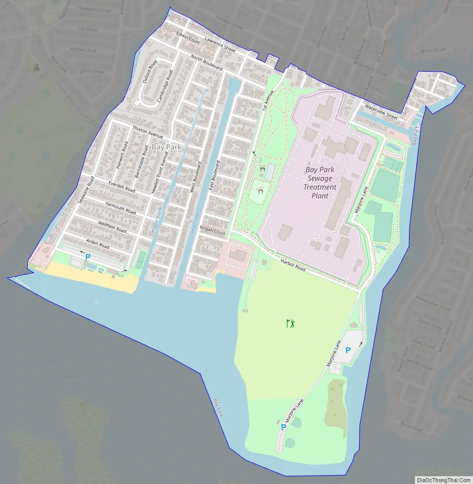
Bay Park Road Map
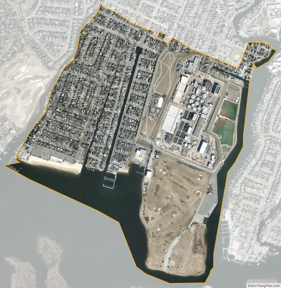
Bay Park city Satellite Map
Geography
According to the United States Census Bureau, the CDP has a total area of 0.6 square miles (1.6 km), of which 0.4 square miles (1.0 km) is land and 0.1 square miles (0.3 km), or 21.82%, is water.
See also
Map of New York State and its subdivision:- Albany
- Allegany
- Bronx
- Broome
- Cattaraugus
- Cayuga
- Chautauqua
- Chemung
- Chenango
- Clinton
- Columbia
- Cortland
- Delaware
- Dutchess
- Erie
- Essex
- Franklin
- Fulton
- Genesee
- Greene
- Hamilton
- Herkimer
- Jefferson
- Kings
- Lake Ontario
- Lewis
- Livingston
- Madison
- Monroe
- Montgomery
- Nassau
- New York
- Niagara
- Oneida
- Onondaga
- Ontario
- Orange
- Orleans
- Oswego
- Otsego
- Putnam
- Queens
- Rensselaer
- Richmond
- Rockland
- Saint Lawrence
- Saratoga
- Schenectady
- Schoharie
- Schuyler
- Seneca
- Steuben
- Suffolk
- Sullivan
- Tioga
- Tompkins
- Ulster
- Warren
- Washington
- Wayne
- Westchester
- Wyoming
- Yates
- Alabama
- Alaska
- Arizona
- Arkansas
- California
- Colorado
- Connecticut
- Delaware
- District of Columbia
- Florida
- Georgia
- Hawaii
- Idaho
- Illinois
- Indiana
- Iowa
- Kansas
- Kentucky
- Louisiana
- Maine
- Maryland
- Massachusetts
- Michigan
- Minnesota
- Mississippi
- Missouri
- Montana
- Nebraska
- Nevada
- New Hampshire
- New Jersey
- New Mexico
- New York
- North Carolina
- North Dakota
- Ohio
- Oklahoma
- Oregon
- Pennsylvania
- Rhode Island
- South Carolina
- South Dakota
- Tennessee
- Texas
- Utah
- Vermont
- Virginia
- Washington
- West Virginia
- Wisconsin
- Wyoming


