Bayville (sometimes also referred to as Pine Island) is a village located in the Town of Oyster Bay in Nassau County, on the North Shore of Long Island, in New York, United States. The population was 6,669 at the 2010 census.
The Incorporated Village of Bayville is located on the Long Island Sound facing Greenwich, Connecticut.
| Name: | Bayville village |
|---|---|
| LSAD Code: | 47 |
| LSAD Description: | village (suffix) |
| State: | New York |
| County: | Nassau County |
| Incorporated: | 1919 |
| Elevation: | 39 ft (12 m) |
| Total Area: | 1.55 sq mi (4.02 km²) |
| Land Area: | 1.46 sq mi (3.77 km²) |
| Water Area: | 0.10 sq mi (0.25 km²) |
| Total Population: | 6,748 |
| Population Density: | 4,637.80/sq mi (1,790.05/km²) |
| ZIP code: | 11709 |
| Area code: | 516 |
| FIPS code: | 3605034 |
| GNISfeature ID: | 0943216 |
| Website: | bayvilleny.gov |
Online Interactive Map
Click on ![]() to view map in "full screen" mode.
to view map in "full screen" mode.
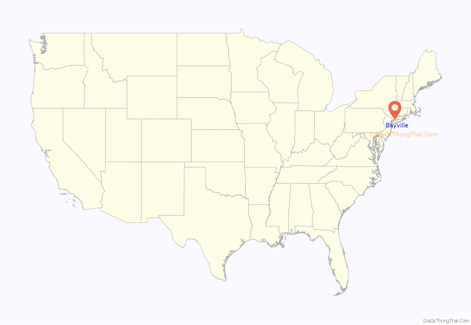
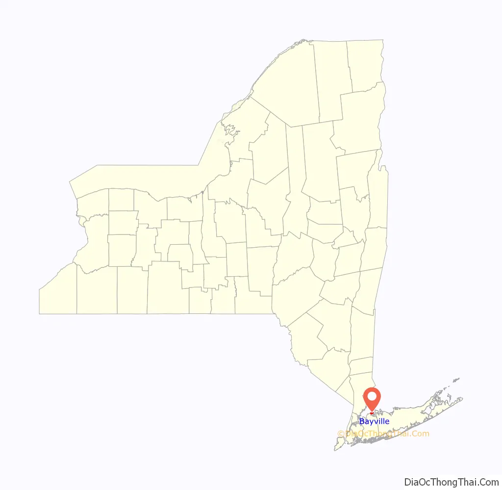
Bayville location map. Where is Bayville village?
History
Bayville incorporated as a village in 1919 during the incorporated village movement which allowed many larger estate owners on Long Island to establish political and security control over their domains.
Like many other Long Island communities, Bayville was first occupied by the Matinecock Indians and was known as Oak Neck and Pine Island. In 1658, Oyster Bay resident Daniel Whitehead purchased the land from the tribes. By 1745, the land was split among 23 men, who mainly grew asparagus. In 1859, Oak Neck was renamed Bayville and the first Methodist church was constructed west of what is now Merritt Lane. Multiple estates were built in the surrounding areas, and in 1898 a drawbridge was built, connecting Bayville and Mill Neck.
In 1909, the Bayville Casino opened for business, attracting beachgoers, and in 1919, Winslow S. Pierce, who owned the Dunstable Estate in town, was elected the first mayor of the Village of Bayville. The Dunstable Estate was sold to Harrison Williams and renamed “Oak Point”.. When the Arlington Hotel, Bayville Casino, and Ritzmore Estate burned to the ground, it prompted the creation of the Bayville Fire Department. Bayville was put on the front page of many newspapers in 1927 when the rum rummer William T. Bell ran ashore at the Oak Point estate. Things were a little slow for a while, but after World War II, the community began to boom. A new church, post office, and school were built in the span of three years, and from 1950 to 1960, the population doubled.
The Bayville Bridge, one of two entrances into the village, opened in 1938 and is a major landmark and tourist attraction; it is the fourth bridge at that location.
The village celebrated its centennial in 2019.
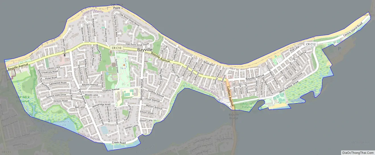
Bayville Road Map
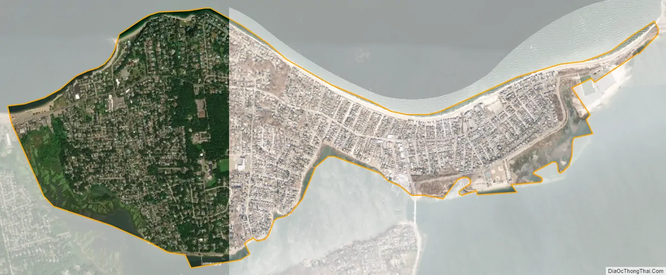
Bayville city Satellite Map
Geography
According to the United States Census Bureau, the village has a total area of 1.5 square miles (3.9 km), of which 1.4 square miles (3.6 km) is land and 0.1 square miles (0.26 km), or 3.42%, is water.
See also
Map of New York State and its subdivision:- Albany
- Allegany
- Bronx
- Broome
- Cattaraugus
- Cayuga
- Chautauqua
- Chemung
- Chenango
- Clinton
- Columbia
- Cortland
- Delaware
- Dutchess
- Erie
- Essex
- Franklin
- Fulton
- Genesee
- Greene
- Hamilton
- Herkimer
- Jefferson
- Kings
- Lake Ontario
- Lewis
- Livingston
- Madison
- Monroe
- Montgomery
- Nassau
- New York
- Niagara
- Oneida
- Onondaga
- Ontario
- Orange
- Orleans
- Oswego
- Otsego
- Putnam
- Queens
- Rensselaer
- Richmond
- Rockland
- Saint Lawrence
- Saratoga
- Schenectady
- Schoharie
- Schuyler
- Seneca
- Steuben
- Suffolk
- Sullivan
- Tioga
- Tompkins
- Ulster
- Warren
- Washington
- Wayne
- Westchester
- Wyoming
- Yates
- Alabama
- Alaska
- Arizona
- Arkansas
- California
- Colorado
- Connecticut
- Delaware
- District of Columbia
- Florida
- Georgia
- Hawaii
- Idaho
- Illinois
- Indiana
- Iowa
- Kansas
- Kentucky
- Louisiana
- Maine
- Maryland
- Massachusetts
- Michigan
- Minnesota
- Mississippi
- Missouri
- Montana
- Nebraska
- Nevada
- New Hampshire
- New Jersey
- New Mexico
- New York
- North Carolina
- North Dakota
- Ohio
- Oklahoma
- Oregon
- Pennsylvania
- Rhode Island
- South Carolina
- South Dakota
- Tennessee
- Texas
- Utah
- Vermont
- Virginia
- Washington
- West Virginia
- Wisconsin
- Wyoming


