Belle Terre is a village in the Town of Brookhaven in Suffolk County, on the North Shore of Long Island, in New York, United States. The population was 792 at the 2010 census.
| Name: | Belle Terre village |
|---|---|
| LSAD Code: | 47 |
| LSAD Description: | village (suffix) |
| State: | New York |
| County: | Suffolk County |
| Incorporated: | 1931 |
| Elevation: | 161 ft (49 m) |
| Total Area: | 0.89 sq mi (2.29 km²) |
| Land Area: | 0.89 sq mi (2.29 km²) |
| Water Area: | 0.00 sq mi (0.00 km²) |
| Total Population: | 808 |
| Population Density: | 912.99/sq mi (352.58/km²) |
| ZIP code: | 11777 |
| FIPS code: | 3605672 |
| GNISfeature ID: | 0943606 |
| Website: | www.belleterre.us |
Online Interactive Map
Click on ![]() to view map in "full screen" mode.
to view map in "full screen" mode.
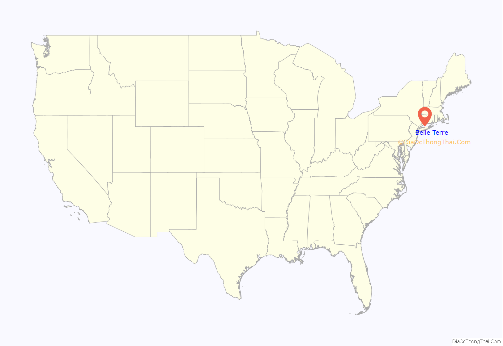
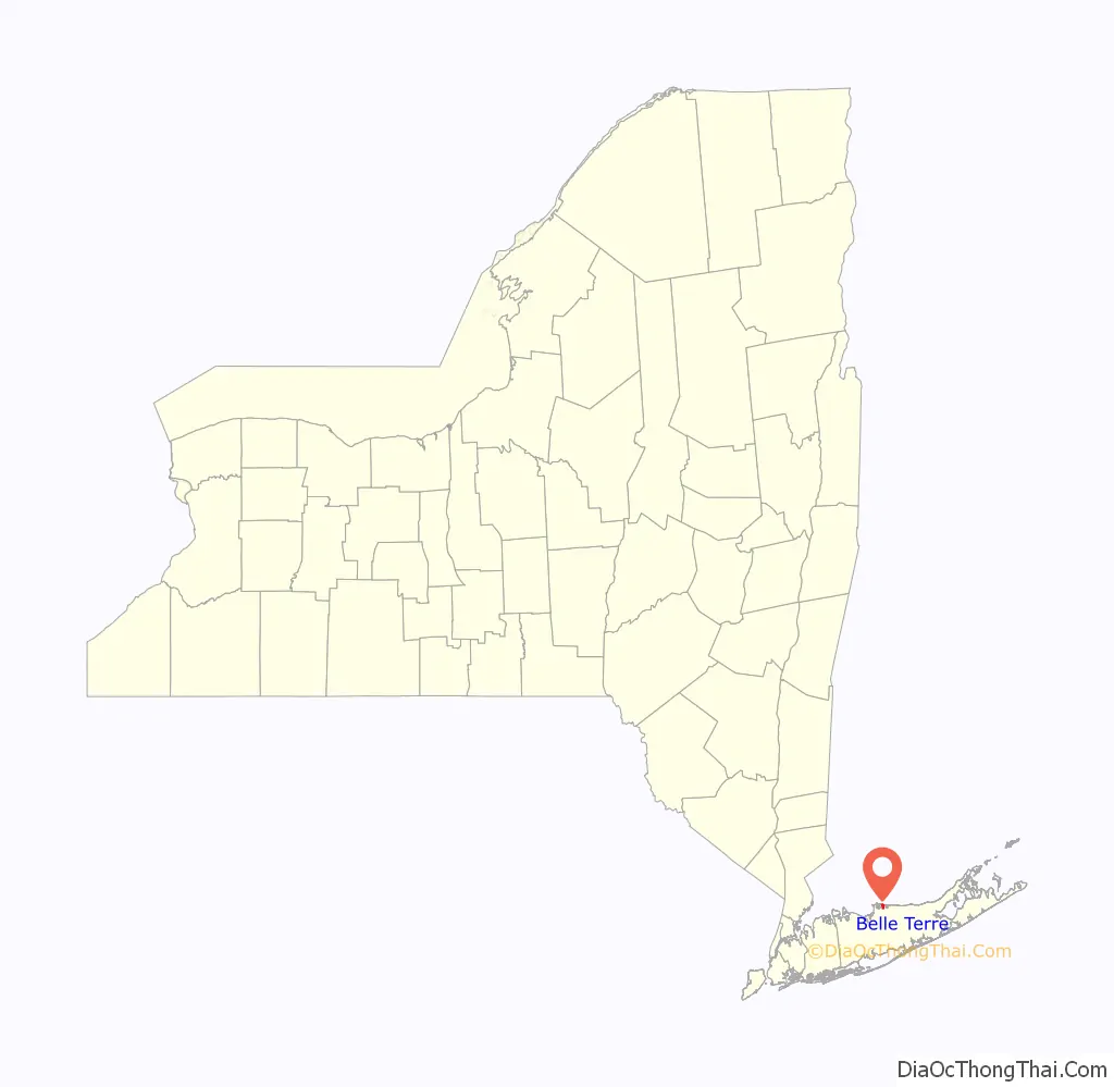
Belle Terre location map. Where is Belle Terre village?
History
The peninsula on which the community of Belle Terre is situated has been known as Mt. Misery since the 17th century. Before Belle Terre’s modern existence, the area was referred to as Mt. Misery Point. By comparison, the lower portion of the peninsula, which is currently a section of the neighboring village of Port Jefferson, was referred to as Mt. Misery Neck.
Throughout the 1700s and 1800s, the bulk of the peninsula was owned by the Strong family, who had their Oakwood estate in its Mt. Misery Neck section. The first known dwelling in contemporary Belle Terre was a shack constructed by an African-American affectionately known as Uncle Mott in the 1800s. This house was the subject of a painting by local artist William Moore Davis.
In 1902, the Port Jefferson Company purchased the Oakwood estate with the purpose of creating an exclusive waterfront development of fifty houses to rival the communities of Long Island’s traditional Gold Coast. The well-connected real-estate developer, Dean Alvord, was chosen as president of Belle Terre’s estates, which was incorporated in 1906. The construction of the Belle Terre Club, a grandiose private members club at the center of the community, also occurred in 1906. A pair of stately pergolas were constructed as well, which overlook the waterfront.
In 1931, Belle Terre incorporated itself as a village.
The Belle Terre Club was destroyed in a fire in 1934, the same year as the pergolas were deconstructed due to the financial burden of their upkeep. Due to a lapse in insurance coverage, the clubhouse was never rebuilt although a new country club opened in the Port Jefferson section of the Mt. Misery peninsula in 1956.
During the 1920s and 1930s, the community’s residents staged a successful campaign against sand and gravel companies who began dredging operations in the area. Prior to these companies being ordered to cease operations in 1931, the Seaboard Sand & Gravel Company dredged a large cove near the tip of the peninsula. This is today known as Pirates Cove and is a popular feature of Port Jefferson Harbor among boaters.
For several decades prior to her death in 2014, Belle Terre was the principal home of Nadia de Navarro Farber, a Bulgarian-born countess (by her second of four marriages) who donated considerably to the John T. Mather Memorial Hospital in neighboring Port Jefferson Village. Farber alternated her residence between a landmark pink mansion near the tip of Belle Terre and her castle on the Caribbean island of Saint Croix. The pink mansion was featured prominently in the 1989 film She-Devil.
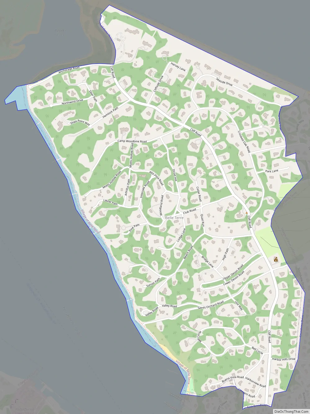
Belle Terre Road Map
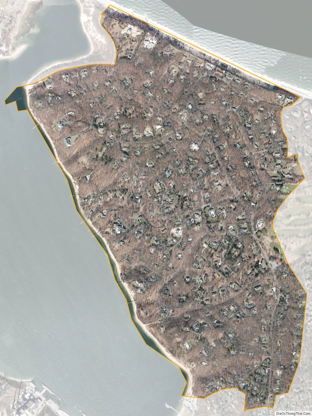
Belle Terre city Satellite Map
Geography
According to the United States Census Bureau, the village has a total area of 0.9 square miles (2.3 km), all land.
The village occupies the northeastern half of the Mt. Misery peninsula and overlooks both Port Jefferson Harbor and the Long Island Sound. All access to the village over land is from the neighboring village of Port Jefferson, which serves as Belle Terre’s nearest commercial center and transit hub.
See also
Map of New York State and its subdivision:- Albany
- Allegany
- Bronx
- Broome
- Cattaraugus
- Cayuga
- Chautauqua
- Chemung
- Chenango
- Clinton
- Columbia
- Cortland
- Delaware
- Dutchess
- Erie
- Essex
- Franklin
- Fulton
- Genesee
- Greene
- Hamilton
- Herkimer
- Jefferson
- Kings
- Lake Ontario
- Lewis
- Livingston
- Madison
- Monroe
- Montgomery
- Nassau
- New York
- Niagara
- Oneida
- Onondaga
- Ontario
- Orange
- Orleans
- Oswego
- Otsego
- Putnam
- Queens
- Rensselaer
- Richmond
- Rockland
- Saint Lawrence
- Saratoga
- Schenectady
- Schoharie
- Schuyler
- Seneca
- Steuben
- Suffolk
- Sullivan
- Tioga
- Tompkins
- Ulster
- Warren
- Washington
- Wayne
- Westchester
- Wyoming
- Yates
- Alabama
- Alaska
- Arizona
- Arkansas
- California
- Colorado
- Connecticut
- Delaware
- District of Columbia
- Florida
- Georgia
- Hawaii
- Idaho
- Illinois
- Indiana
- Iowa
- Kansas
- Kentucky
- Louisiana
- Maine
- Maryland
- Massachusetts
- Michigan
- Minnesota
- Mississippi
- Missouri
- Montana
- Nebraska
- Nevada
- New Hampshire
- New Jersey
- New Mexico
- New York
- North Carolina
- North Dakota
- Ohio
- Oklahoma
- Oregon
- Pennsylvania
- Rhode Island
- South Carolina
- South Dakota
- Tennessee
- Texas
- Utah
- Vermont
- Virginia
- Washington
- West Virginia
- Wisconsin
- Wyoming


