Bellerose /bɛlroʊz/ is a village in the Town of Hempstead in Nassau County, on Long Island, in New York, United States. The population was 1,173 at the 2020 census.
| Name: | Bellerose village |
|---|---|
| LSAD Code: | 47 |
| LSAD Description: | village (suffix) |
| State: | New York |
| County: | Nassau County |
| Incorporated: | 1924 |
| Elevation: | 85 ft (26 m) |
| Total Area: | 0.13 sq mi (0.33 km²) |
| Land Area: | 0.13 sq mi (0.33 km²) |
| Water Area: | 0.00 sq mi (0.00 km²) |
| Total Population: | 1,173 |
| Population Density: | 9,309.52/sq mi (3,605.08/km²) |
| Area code: | 516 |
| FIPS code: | 3605639 |
| GNISfeature ID: | 0943608 |
| Website: | www.bellerosevillage.org |
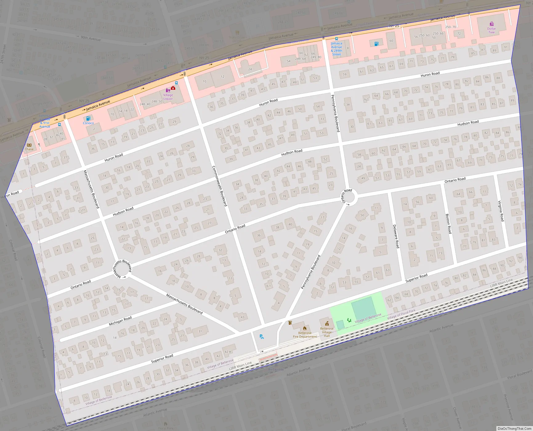
Online Interactive Map
Click on ![]() to view map in "full screen" mode.
to view map in "full screen" mode.
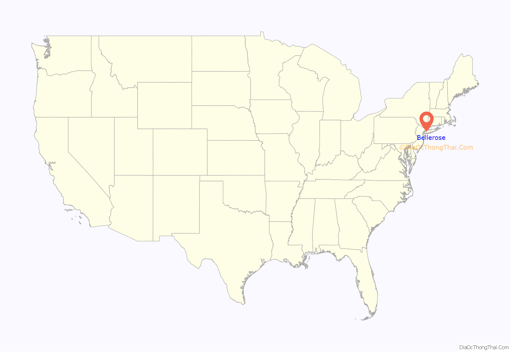
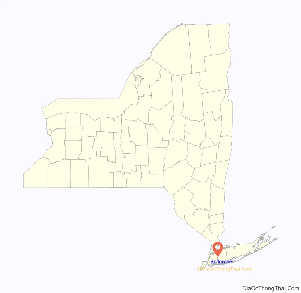
Bellerose location map. Where is Bellerose village?
History
The village was founded by Helen Marsh of Williamsburg, Brooklyn. In 1907, planning to build a model community, Marsh purchased 77 acres (310,000 m) of Floral Park gladiola fields. The first Bellerose home was completed, under Marsh’s supervision, in 1910. Marsh persuaded the Long Island Rail Road to place a station in the new village, and she named the station Bellerose. Though it has been suggested that she named the station for the Rose farm, south of the railroad, and her daughter Belle, she said that she simply found the name “euphonious”. A vote of the homeowners made the name official in 1917.
Bellerose incorporated itself as a village in 1924 in order to gain home rule.
The Bellerose Village Hall, Fire House and Police Booth are on the National and State registries of Historic Places; the complex is known as the Bellerose Village Municipal Complex.
Bellerose Road Map
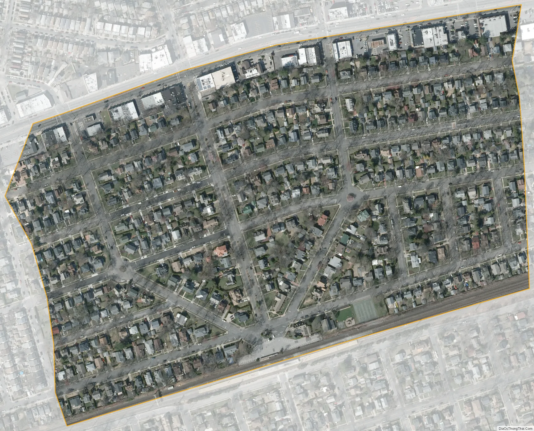
Bellerose city Satellite Map
Geography
According to the United States Census Bureau, the village has a total area of 0.1203 square miles (0.312 km), all land.
The village borders Queens to the north, Bellerose Terrace to the west, and Floral Park to the south.
See also
Map of New York State and its subdivision:- Albany
- Allegany
- Bronx
- Broome
- Cattaraugus
- Cayuga
- Chautauqua
- Chemung
- Chenango
- Clinton
- Columbia
- Cortland
- Delaware
- Dutchess
- Erie
- Essex
- Franklin
- Fulton
- Genesee
- Greene
- Hamilton
- Herkimer
- Jefferson
- Kings
- Lake Ontario
- Lewis
- Livingston
- Madison
- Monroe
- Montgomery
- Nassau
- New York
- Niagara
- Oneida
- Onondaga
- Ontario
- Orange
- Orleans
- Oswego
- Otsego
- Putnam
- Queens
- Rensselaer
- Richmond
- Rockland
- Saint Lawrence
- Saratoga
- Schenectady
- Schoharie
- Schuyler
- Seneca
- Steuben
- Suffolk
- Sullivan
- Tioga
- Tompkins
- Ulster
- Warren
- Washington
- Wayne
- Westchester
- Wyoming
- Yates
- Alabama
- Alaska
- Arizona
- Arkansas
- California
- Colorado
- Connecticut
- Delaware
- District of Columbia
- Florida
- Georgia
- Hawaii
- Idaho
- Illinois
- Indiana
- Iowa
- Kansas
- Kentucky
- Louisiana
- Maine
- Maryland
- Massachusetts
- Michigan
- Minnesota
- Mississippi
- Missouri
- Montana
- Nebraska
- Nevada
- New Hampshire
- New Jersey
- New Mexico
- New York
- North Carolina
- North Dakota
- Ohio
- Oklahoma
- Oregon
- Pennsylvania
- Rhode Island
- South Carolina
- South Dakota
- Tennessee
- Texas
- Utah
- Vermont
- Virginia
- Washington
- West Virginia
- Wisconsin
- Wyoming


