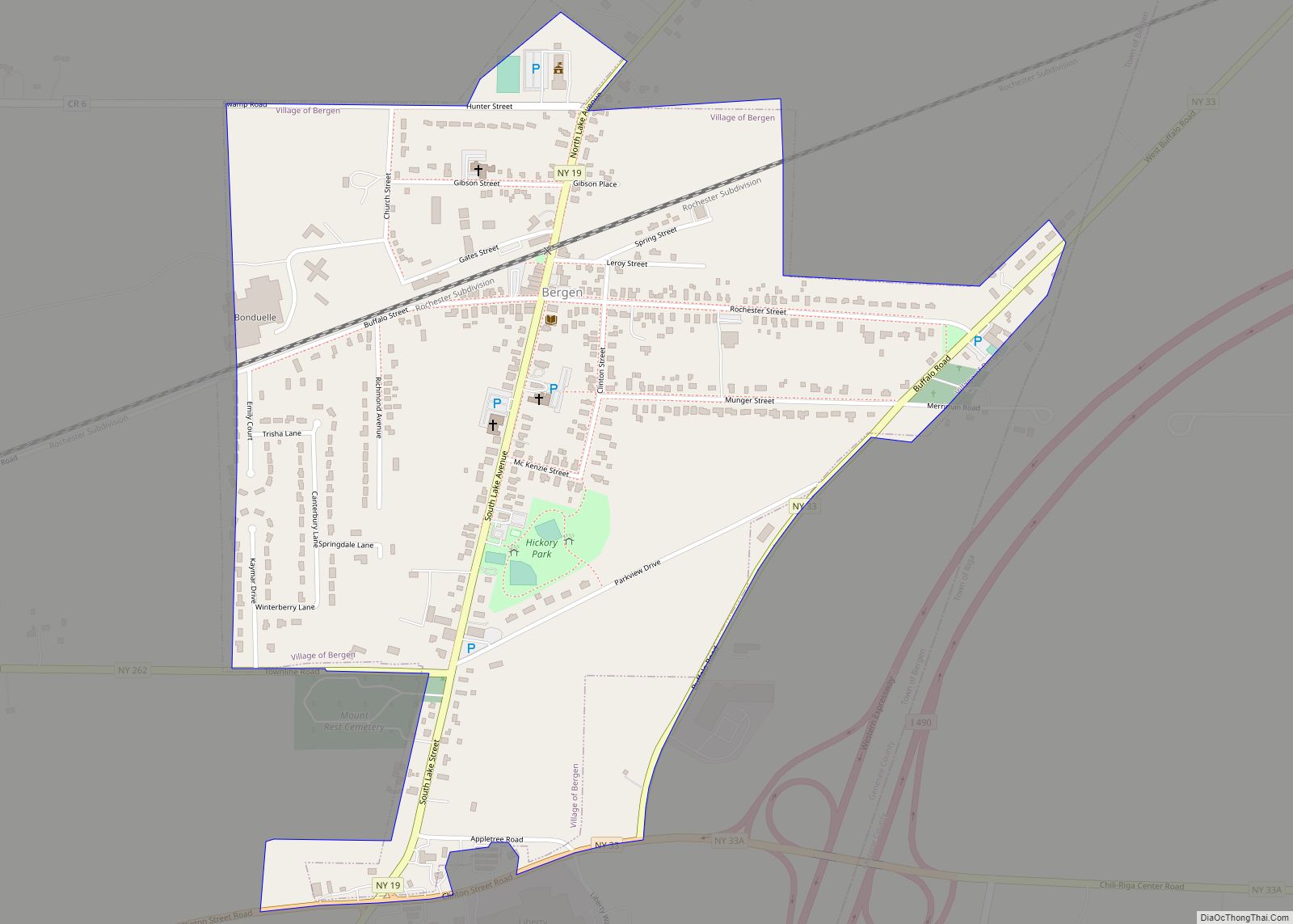
Bergen (/ˈbɜːrdʒən/ BUR-jən) is a village in Genesee County, New York, United States. The population was 1,176 at the 2010 census.
The village lies on the eastern edge of the town of Bergen. The village is north of the junction of Routes 19 and 33.
| Name: | Bergen village |
|---|---|
| LSAD Code: | 47 |
| LSAD Description: | village (suffix) |
| State: | New York |
| County: | Genesee County |
| Incorporated: | 1877 |
| Elevation: | 606 ft (185 m) |
| Total Area: | 0.74 sq mi (1.91 km²) |
| Land Area: | 0.74 sq mi (1.91 km²) |
| Water Area: | 0.00 sq mi (0.00 km²) |
| Total Population: | 1,208 |
| Population Density: | 1,639.08/sq mi (633.21/km²) |
| ZIP code: | 14416 |
| Area code: | 585 |
| FIPS code: | 3606046 |
| GNISfeature ID: | 0943720 |
| Website: | www.villageofbergen.com |
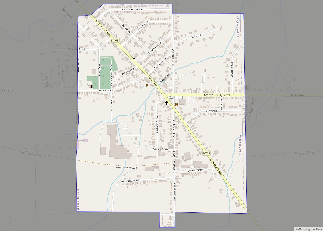
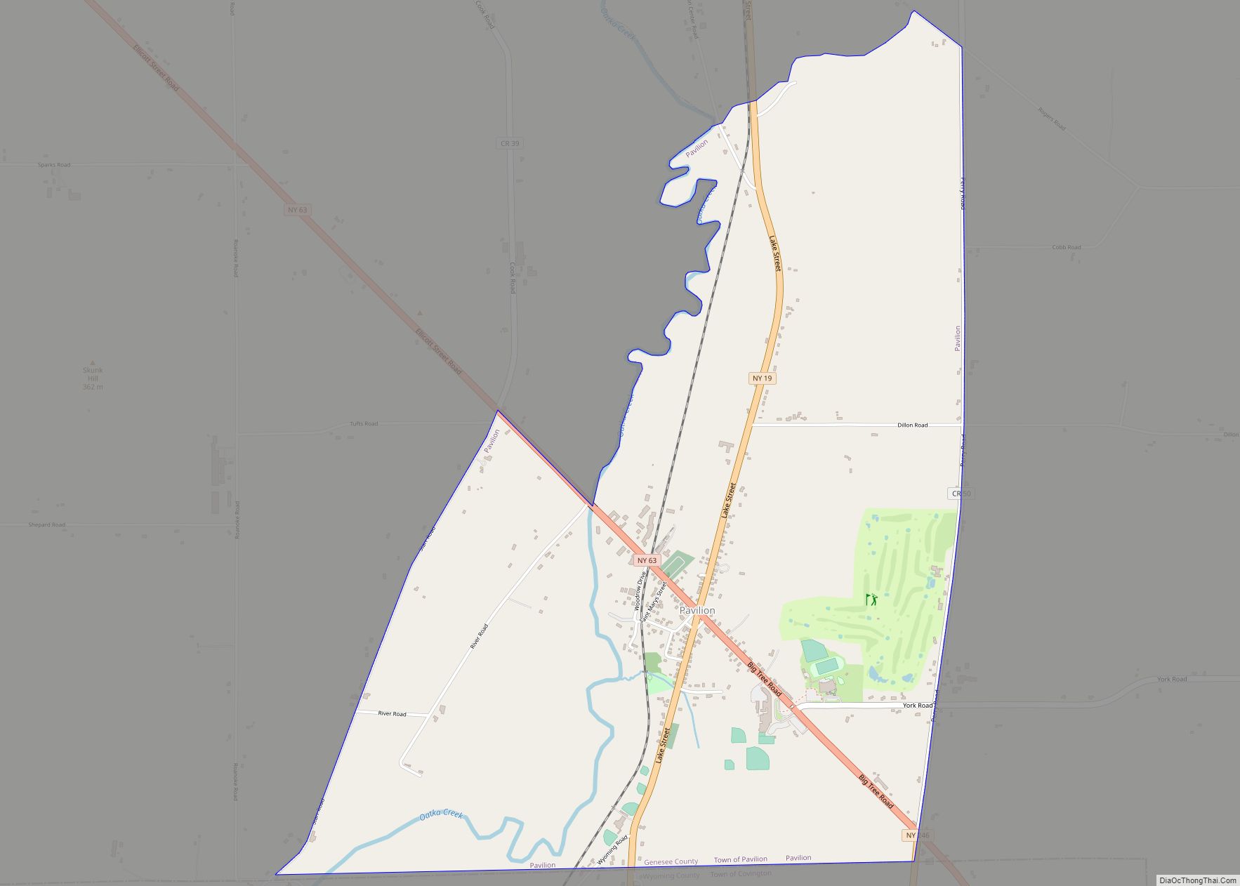
Online Interactive Map
Click on ![]() to view map in "full screen" mode.
to view map in "full screen" mode.
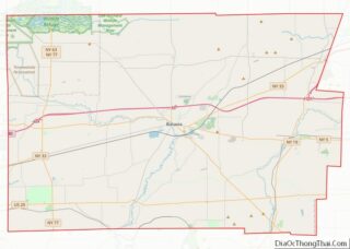
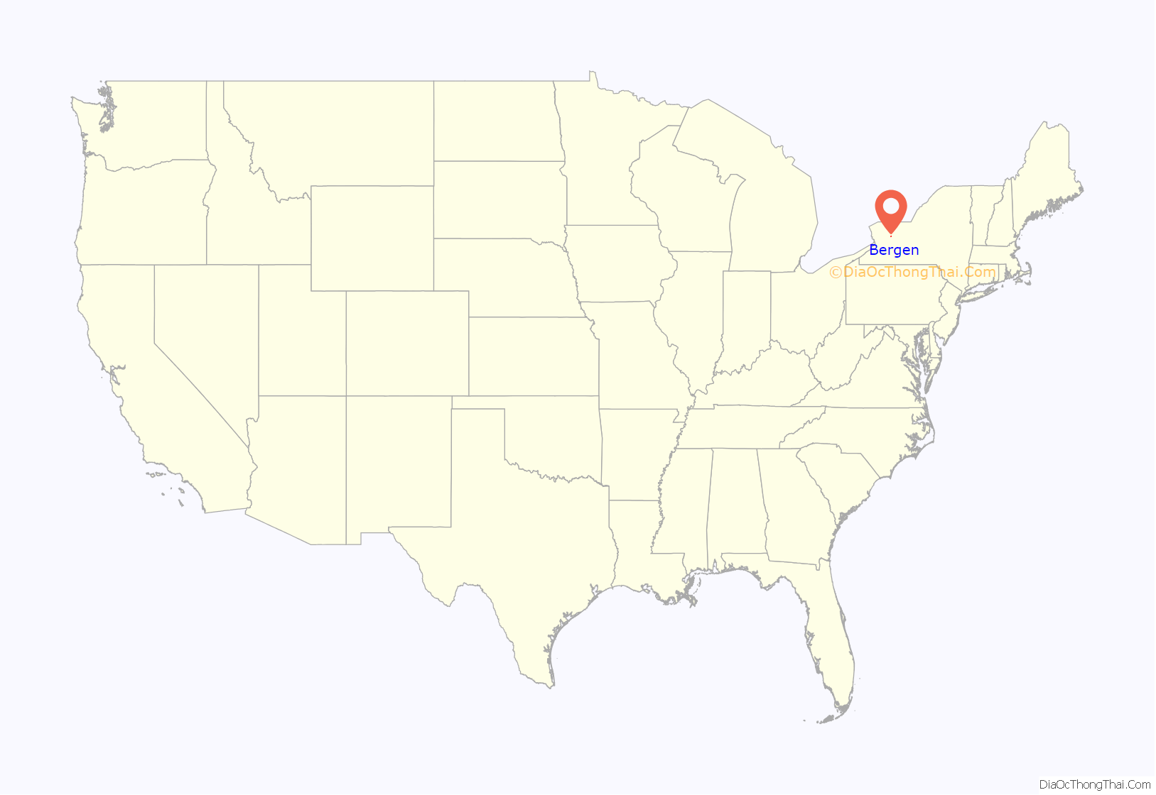
Bergen location map. Where is Bergen village?
History
See also Bergen (town), New York.
The Bergen area was opened up in 1801 when a road was hacked through the thick “Northwoods” from LeRoy to Lake Ontario. (In its early days of settlement, Bergen was called “Northwoods”.) Bergen was first settled in 1801 by Samuel Lincoln. In the same year George Letson, William Letson, Benajah Worden, Richard Abbey, Solomon Levi, Jesse Leach, James Letson, Gideon Elliott, and David Scott settled in town.
A colony of 60 families from Connecticut settled the area along Route 19 from Fort Hill (near Parmalee Road) to Black Creek from 1805 to 1810. The first store was a mile south of Route 33 on Route 19 on the east side of the road. The first group of stores was located from the intersection of Lake Road (Route 19) and Route 262 to the intersection of Route 19 and the Scottsville Road (Route 33A). This area was called “Buell’s Corner”, later “Bergen Corners” or “High Bergen”. The first church organization was established in December 1807. The Congregational church was founded January 25, 1808. Harry Kelsey, a graduate of Yale College, taught the first school. The first frame house in the town was erected by Levi Ward, a pioneer physician. Jared Merritt built the first sawmill. Dr. Ward was proprietor of the first store, in 1808. The first inn was opened in 1809 by Samuel Butler. Colonel W.H. Ward was the first postmaster.
After the railroad came through in 1836, an area was laid out around the intersection of Lake Road (Route 19) and the railroad for businesses and houses. It was called “Wardville” after the Levi Ward family who laid it out. It was also called “Cork”, after the Irish who settled there while and after the building of the railroad, and “Lower Bergen”. The two areas were soon connected by residences and churches.
Fire initially destroyed the business area around the railroad tracks in 1866.
This area, along with the surrounding residences, was incorporated in on March 5, 1877, as the Village of Bergen. The village is near the center of the eastern boundary line, on the New York Central and Hudson River Railroad.
Fire destroyed the business area around the railroad tracks again in 1880. The Village Board passed an ordinance requiring that all structures in this area should be built of brick, stone, or wrought iron.
The west side of the district south of the railroad is on the National Register as the Lake Street Historic District due to its 1880 wrought-iron storefronts, transom windows and probably, also, because of the famous family who founded “Wardville”. Some of the family went on from Bergen to the Rochester area and were primary developers of that area.
Due to better building material and firefighting equipment, another fire in 1906 destroyed only some of the buildings on the west side of the street. A fire in 1932 leveled some of the buildings on the east side of the street. Since then, fires in individual buildings have caused some alteration of their facades.
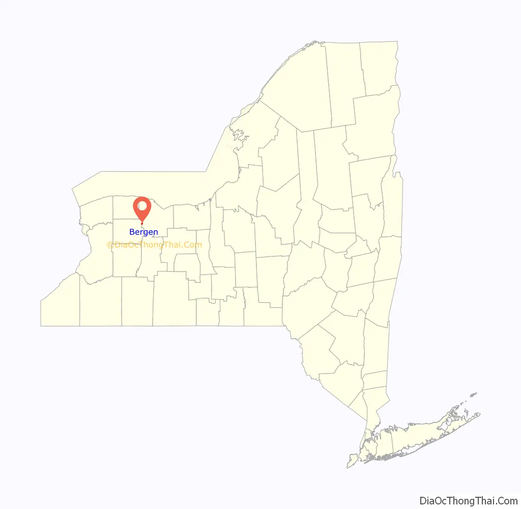
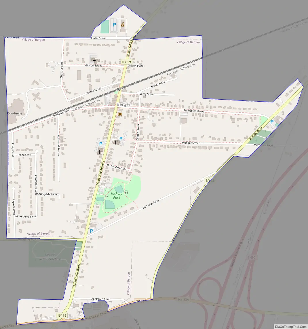
Bergen Road Map
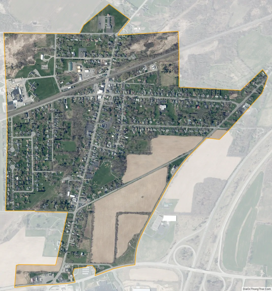
Bergen city Satellite Map
Geography
The village of Bergen is located in northeastern Genesee County at 43°05′00″N 77°56′30″W / 43.083388°N 77.941754°W / 43.083388; -77.941754 (43.083388, -77.941754), on the eastern side of the town of Bergen. New York State Route 19 passes through the village center as Lake Avenue, leading north 9 miles (14 km) to Brockport and south 8 miles (13 km) to Le Roy. New York State Route 33 passes along the southern and eastern edges of the village, leading northeast 3 miles (5 km) to Churchville and 19 miles (31 km) to Rochester. To the southwest NY 33 leads 14 miles (23 km) to Batavia. New York State Route 262 leads west 13 miles (21 km) to Elba. Interstate 490 passes just southeast of Bergen village, with access from exit 2 (NY Route 33A); I-490 leads northeast into Rochester and southwest 3.5 miles (5.6 km) to Interstate 90, the New York State Thruway.
According to the United States Census Bureau, the village has a total area of 0.74 square miles (1.91 km), all land. The village area drains north to Black Creek, an eastward-flowing tributary of the Genesee River.
See also
Map of New York State and its subdivision:- Albany
- Allegany
- Bronx
- Broome
- Cattaraugus
- Cayuga
- Chautauqua
- Chemung
- Chenango
- Clinton
- Columbia
- Cortland
- Delaware
- Dutchess
- Erie
- Essex
- Franklin
- Fulton
- Genesee
- Greene
- Hamilton
- Herkimer
- Jefferson
- Kings
- Lake Ontario
- Lewis
- Livingston
- Madison
- Monroe
- Montgomery
- Nassau
- New York
- Niagara
- Oneida
- Onondaga
- Ontario
- Orange
- Orleans
- Oswego
- Otsego
- Putnam
- Queens
- Rensselaer
- Richmond
- Rockland
- Saint Lawrence
- Saratoga
- Schenectady
- Schoharie
- Schuyler
- Seneca
- Steuben
- Suffolk
- Sullivan
- Tioga
- Tompkins
- Ulster
- Warren
- Washington
- Wayne
- Westchester
- Wyoming
- Yates
- Alabama
- Alaska
- Arizona
- Arkansas
- California
- Colorado
- Connecticut
- Delaware
- District of Columbia
- Florida
- Georgia
- Hawaii
- Idaho
- Illinois
- Indiana
- Iowa
- Kansas
- Kentucky
- Louisiana
- Maine
- Maryland
- Massachusetts
- Michigan
- Minnesota
- Mississippi
- Missouri
- Montana
- Nebraska
- Nevada
- New Hampshire
- New Jersey
- New Mexico
- New York
- North Carolina
- North Dakota
- Ohio
- Oklahoma
- Oregon
- Pennsylvania
- Rhode Island
- South Carolina
- South Dakota
- Tennessee
- Texas
- Utah
- Vermont
- Virginia
- Washington
- West Virginia
- Wisconsin
- Wyoming