Bridgehampton is a hamlet and census-designated place (CDP) on the South Fork of Suffolk County, New York, United States. The population was 1,756 at the 2010 census.
Bridgehampton is in the town of Southampton, on Long Island. Shortly after the founding of Southampton in 1640, settlers began to move east to the area known by the Shinnecock Indians as Sagaponack and Mecox. At the head of Sagg Pond, the settlers established a community called Bullhead, later renamed Bridgehampton—after the bridge built across the pond. Sagg Bridge was built in 1686 by Ezekiel Sandford. The bridge was the link between Mecox and Sagaponack and gave this locality its name of Bridgehampton. The notorious criminal and memoirist Stephen Burroughs lived there during the 18th century and helped found the town’s first library in 1793; the volumes he purchased could be found in the Bridgehampton Public Library as late as 2002.
Bridgehampton became the home of the horse show known as the Hampton Classic and a road racing course that figured prominently in American automobile racing.
| Name: | Bridgehampton CDP |
|---|---|
| LSAD Code: | 57 |
| LSAD Description: | CDP (suffix) |
| State: | New York |
| County: | Suffolk County |
| Elevation: | 43 ft (13 m) |
| Total Area: | 14.87 sq mi (38.52 km²) |
| Land Area: | 13.01 sq mi (33.70 km²) |
| Water Area: | 1.86 sq mi (4.82 km²) |
| Total Population: | 2,953 |
| Population Density: | 226.98/sq mi (87.64/km²) |
| ZIP code: | 11932 |
| FIPS code: | 3608136 |
| GNISfeature ID: | 0944725 |
Online Interactive Map
Click on ![]() to view map in "full screen" mode.
to view map in "full screen" mode.
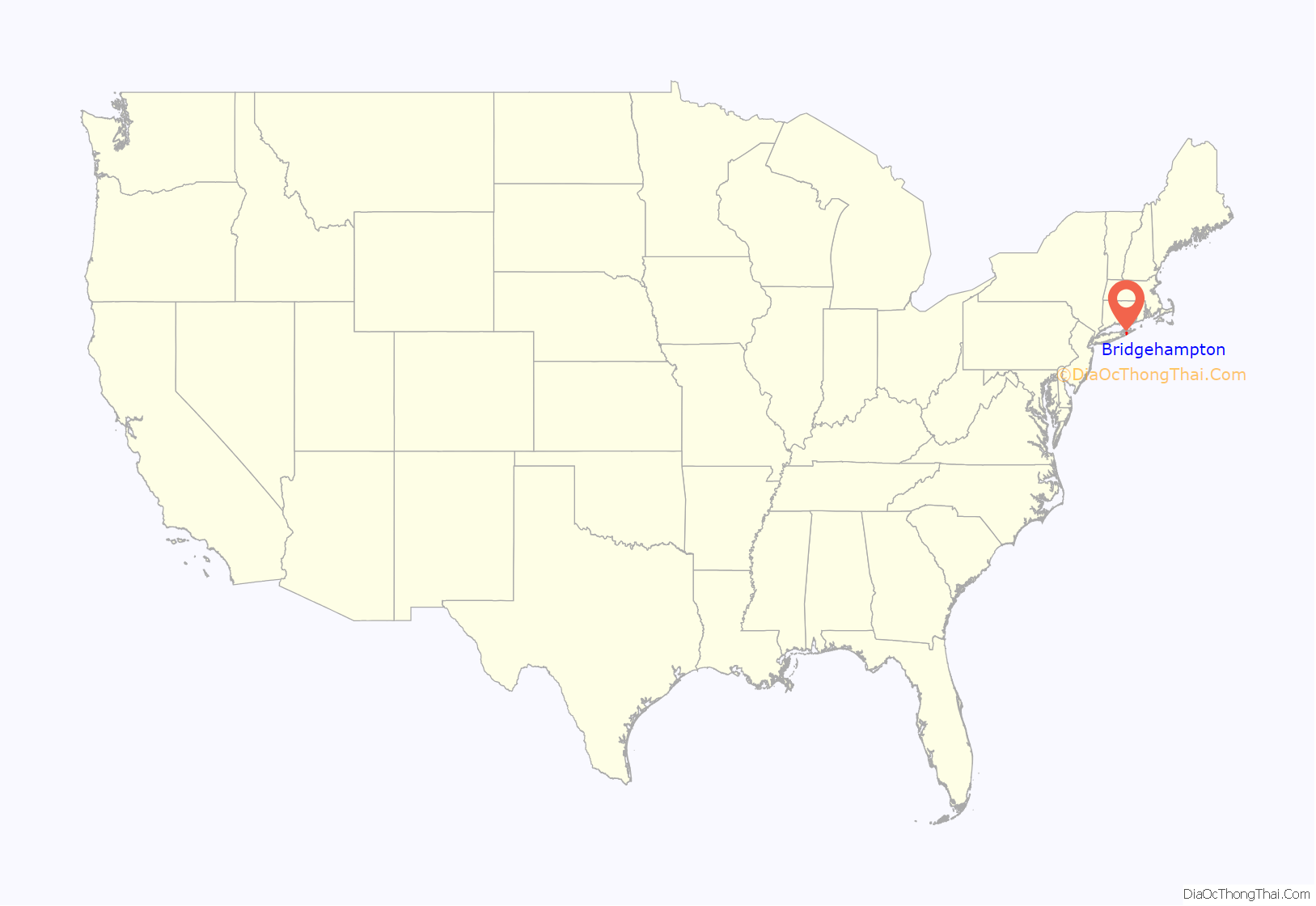
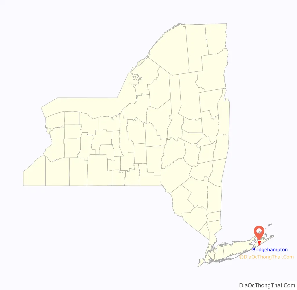
Bridgehampton location map. Where is Bridgehampton CDP?
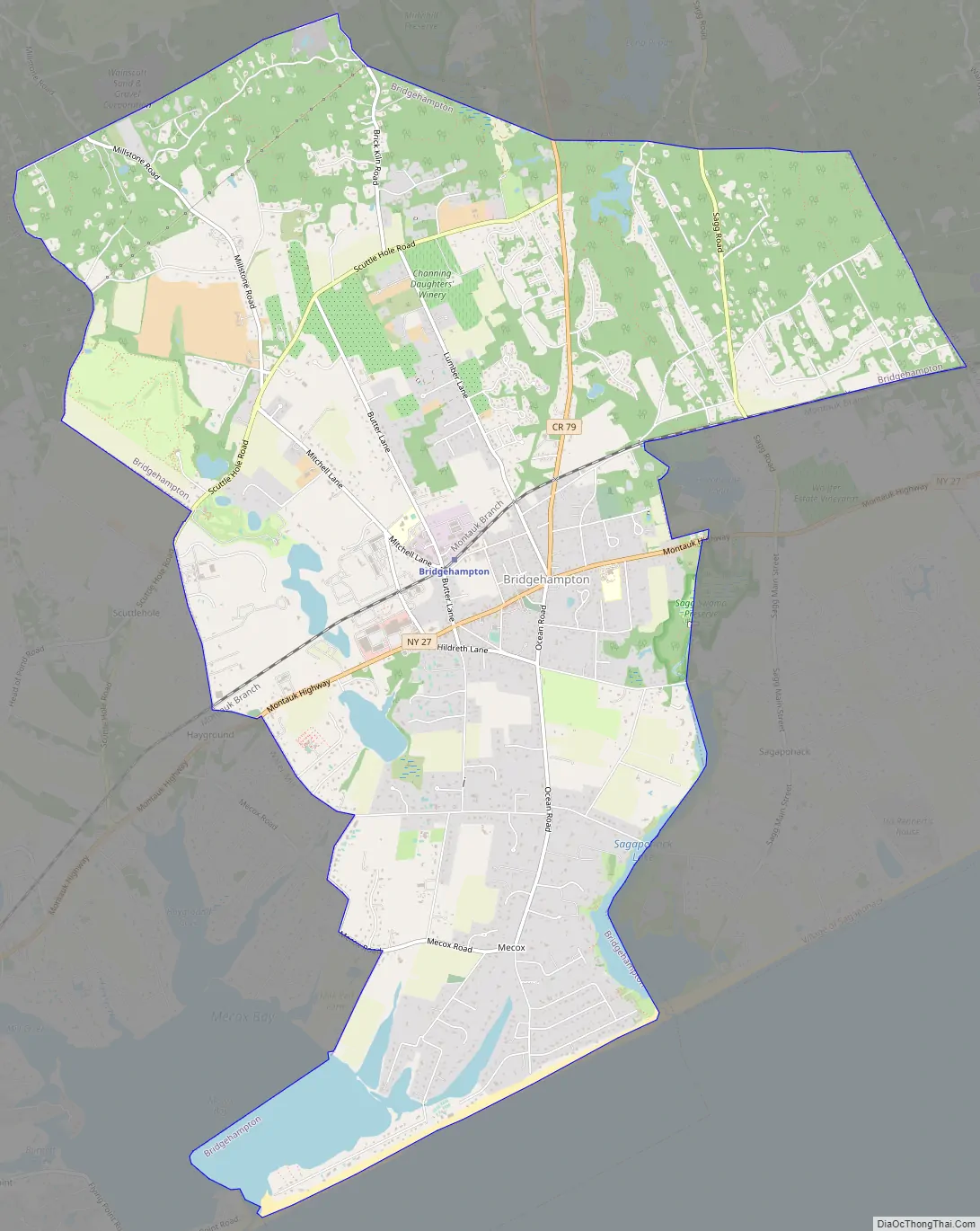
Bridgehampton Road Map
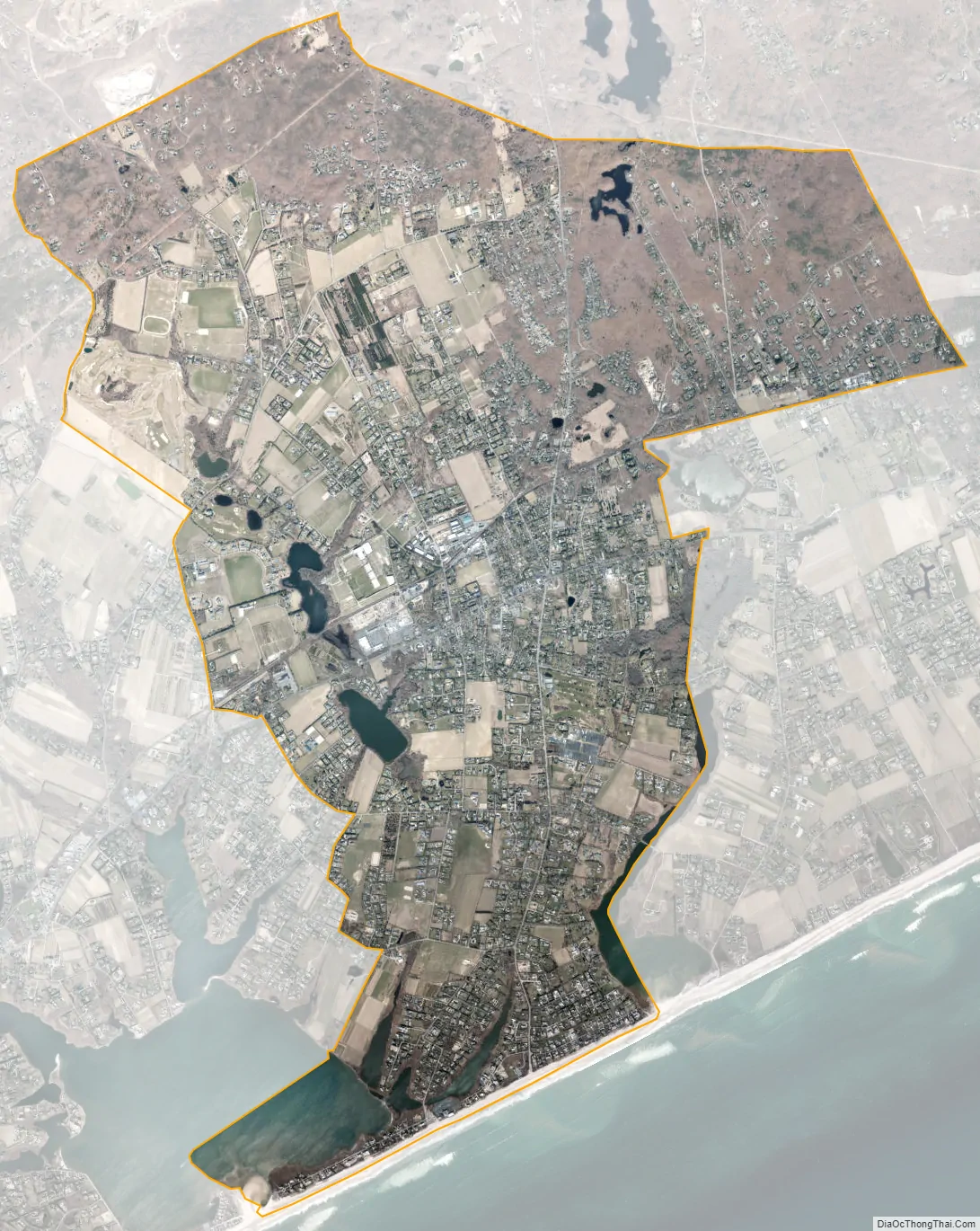
Bridgehampton city Satellite Map
Geography
Bridgehampton is located at 40°55′59″N 72°18′29″W / 40.93306°N 72.30806°W / 40.93306; -72.30806 (40.933182, -72.307987).
According to the United States Census Bureau, the CDP has a total area of 13.6 square miles (35.3 km), of which 13.0 square miles (33.7 km) is land and 0.62 square miles (1.6 km), or 4.57%, is water.
Climate
Bridgehampton has a climate transitioning between humid continental, subtropical and maritime. Due to the cold winter lows, plant hardiness more resembles a continental environment in spite of its oceanside location.
See also
Map of New York State and its subdivision:- Albany
- Allegany
- Bronx
- Broome
- Cattaraugus
- Cayuga
- Chautauqua
- Chemung
- Chenango
- Clinton
- Columbia
- Cortland
- Delaware
- Dutchess
- Erie
- Essex
- Franklin
- Fulton
- Genesee
- Greene
- Hamilton
- Herkimer
- Jefferson
- Kings
- Lake Ontario
- Lewis
- Livingston
- Madison
- Monroe
- Montgomery
- Nassau
- New York
- Niagara
- Oneida
- Onondaga
- Ontario
- Orange
- Orleans
- Oswego
- Otsego
- Putnam
- Queens
- Rensselaer
- Richmond
- Rockland
- Saint Lawrence
- Saratoga
- Schenectady
- Schoharie
- Schuyler
- Seneca
- Steuben
- Suffolk
- Sullivan
- Tioga
- Tompkins
- Ulster
- Warren
- Washington
- Wayne
- Westchester
- Wyoming
- Yates
- Alabama
- Alaska
- Arizona
- Arkansas
- California
- Colorado
- Connecticut
- Delaware
- District of Columbia
- Florida
- Georgia
- Hawaii
- Idaho
- Illinois
- Indiana
- Iowa
- Kansas
- Kentucky
- Louisiana
- Maine
- Maryland
- Massachusetts
- Michigan
- Minnesota
- Mississippi
- Missouri
- Montana
- Nebraska
- Nevada
- New Hampshire
- New Jersey
- New Mexico
- New York
- North Carolina
- North Dakota
- Ohio
- Oklahoma
- Oregon
- Pennsylvania
- Rhode Island
- South Carolina
- South Dakota
- Tennessee
- Texas
- Utah
- Vermont
- Virginia
- Washington
- West Virginia
- Wisconsin
- Wyoming


