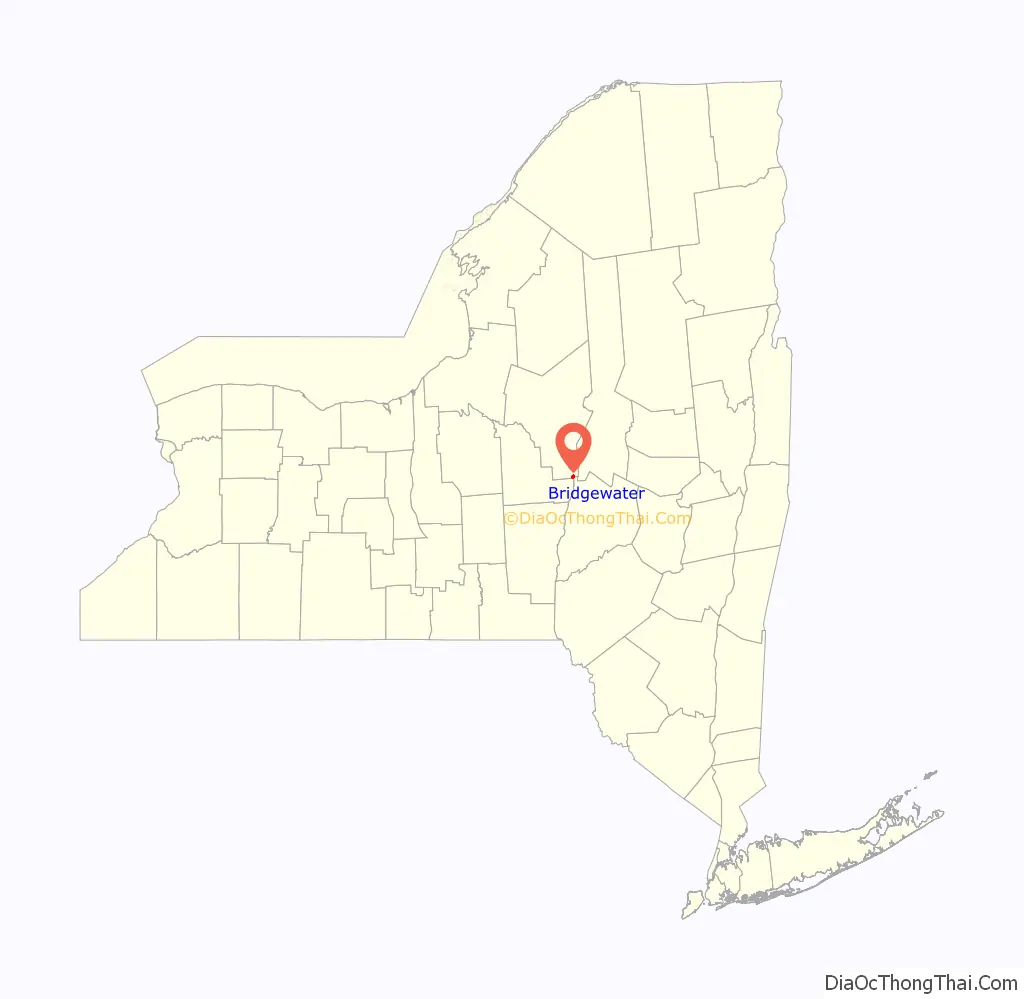
Bridgewater is a hamlet (and census-designated place) in Oneida County, New York, United States. The population was 470 at the 2010 census.
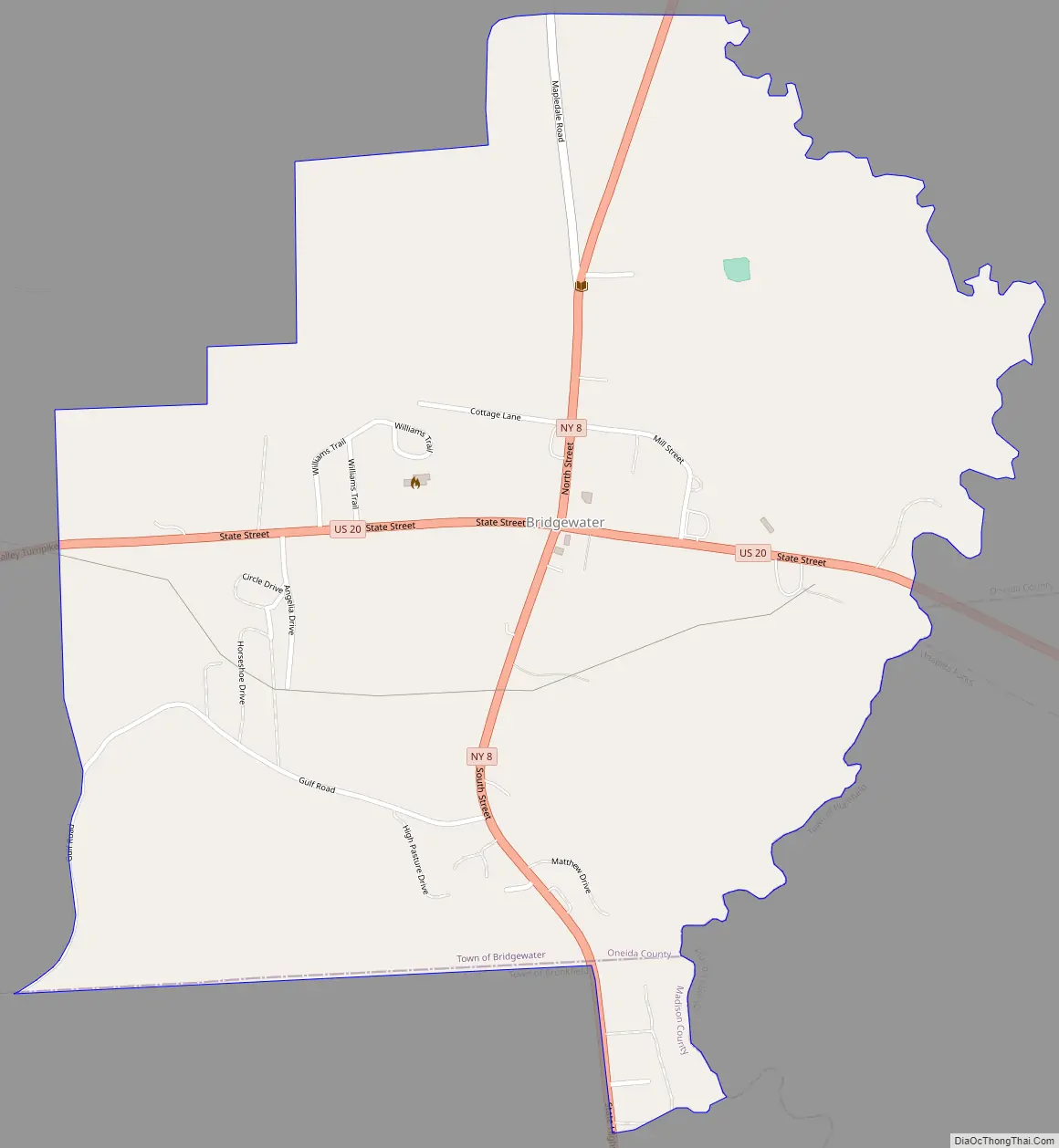
The hamlet is within the Town of Bridgewater at the junction of U.S. Route 20 and N.Y. Route 8. It was an incorporated village from 1825 to 2014.
| Name: | Bridgewater CDP |
|---|---|
| LSAD Code: | 57 |
| LSAD Description: | CDP (suffix) |
| State: | New York |
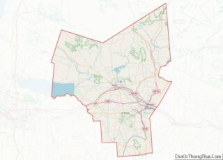
| County: | Oneida County |
| Incorporated: | April 21, 1825 |
| Elevation: | 1,211 ft (369 m) |
| Total Area: | 0.97 sq mi (2.52 km²) |
| Land Area: | 0.97 sq mi (2.52 km²) |
| Water Area: | 0.00 sq mi (0.00 km²) |
| Total Population: | 516 |
| Population Density: | 531.41/sq mi (205.09/km²) |
| ZIP code: | 13313 |
| Area code: | 315 |
| FIPS code: | 3608169 |
| GNISfeature ID: | 2391559 |
Online Interactive Map
Click on ![]() to view map in "full screen" mode.
to view map in "full screen" mode.
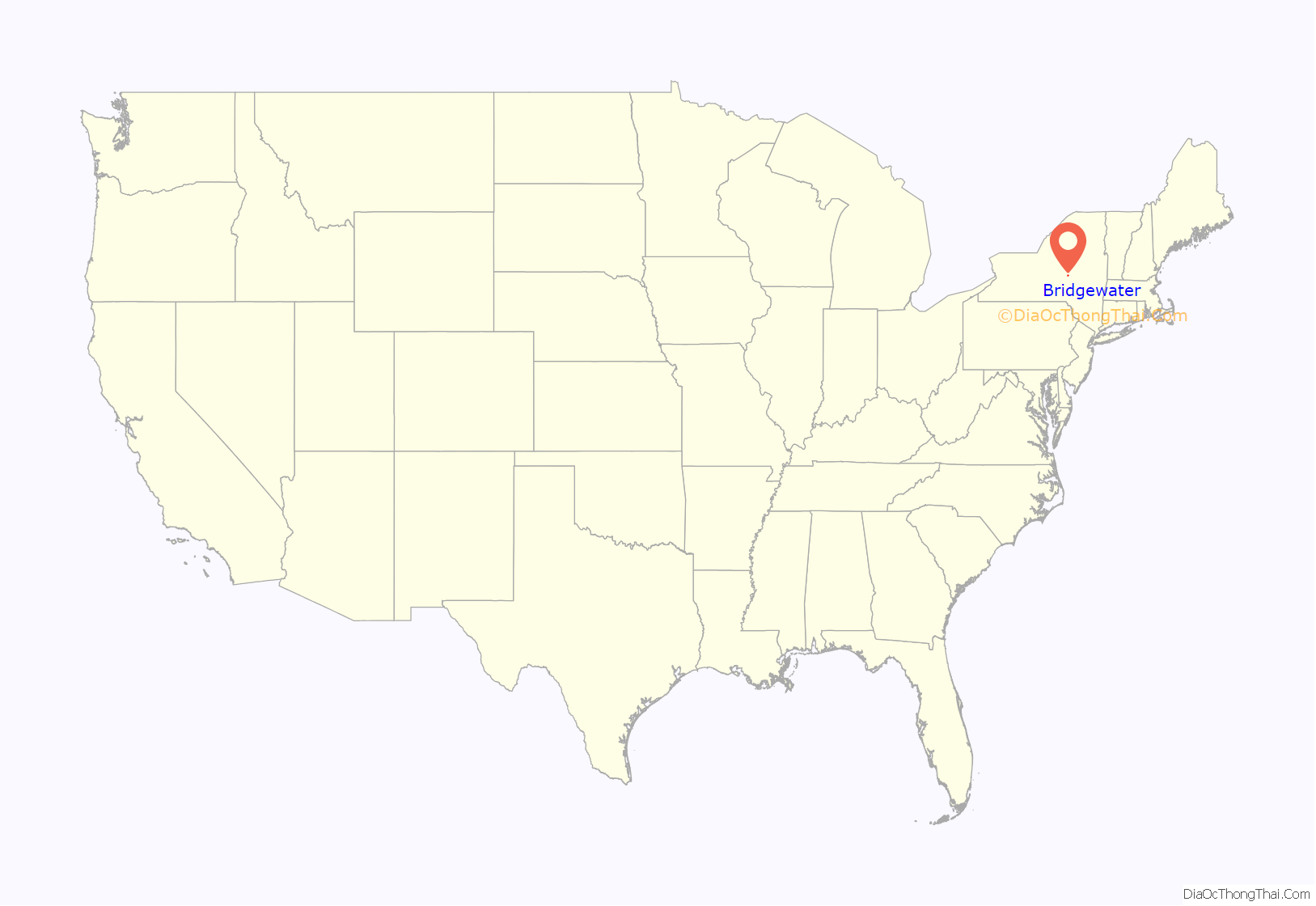
Bridgewater location map. Where is Bridgewater CDP?
History
The village was incorporated in 1825. The Unadilla Valley Railroad had its northern terminus at Bridgewater. An extensive tannery was last run by the Hiteman Leather Co. in the neighboring town of West Winfield (Herkimer County) and more recently was a superfund cleanup site, also in West Winfield.
The Brick Store Building and Bridgewater Railroad Station are listed on the National Register of Historic Places.
On March 18, 2014, voters approved a referendum by a vote of 40 to 8 to dissolve the village on December 31, 2014. As of January 1, 2015, the Town of Bridgewater assumed responsibility for the area of the former village.
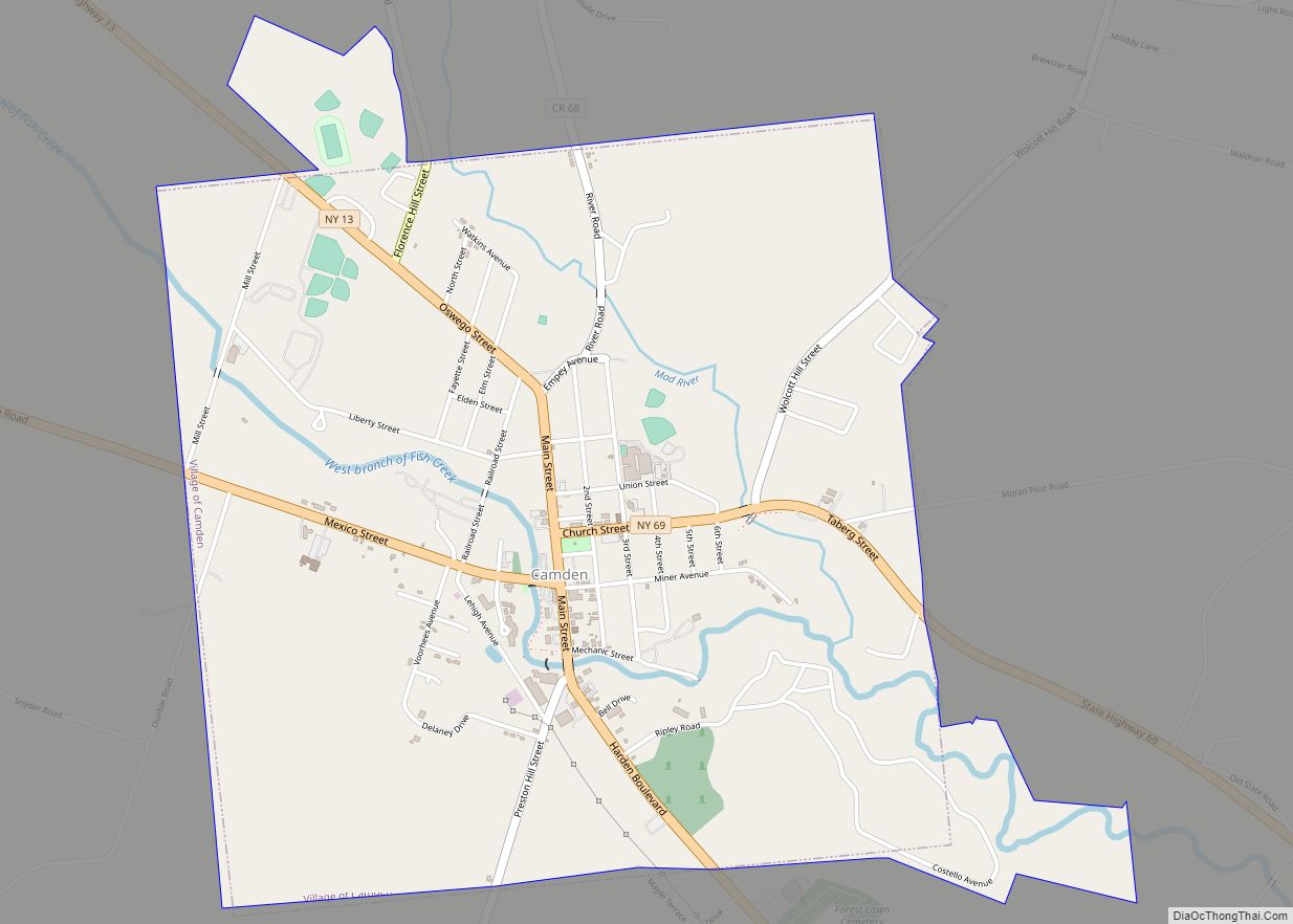
Bridgewater Road Map
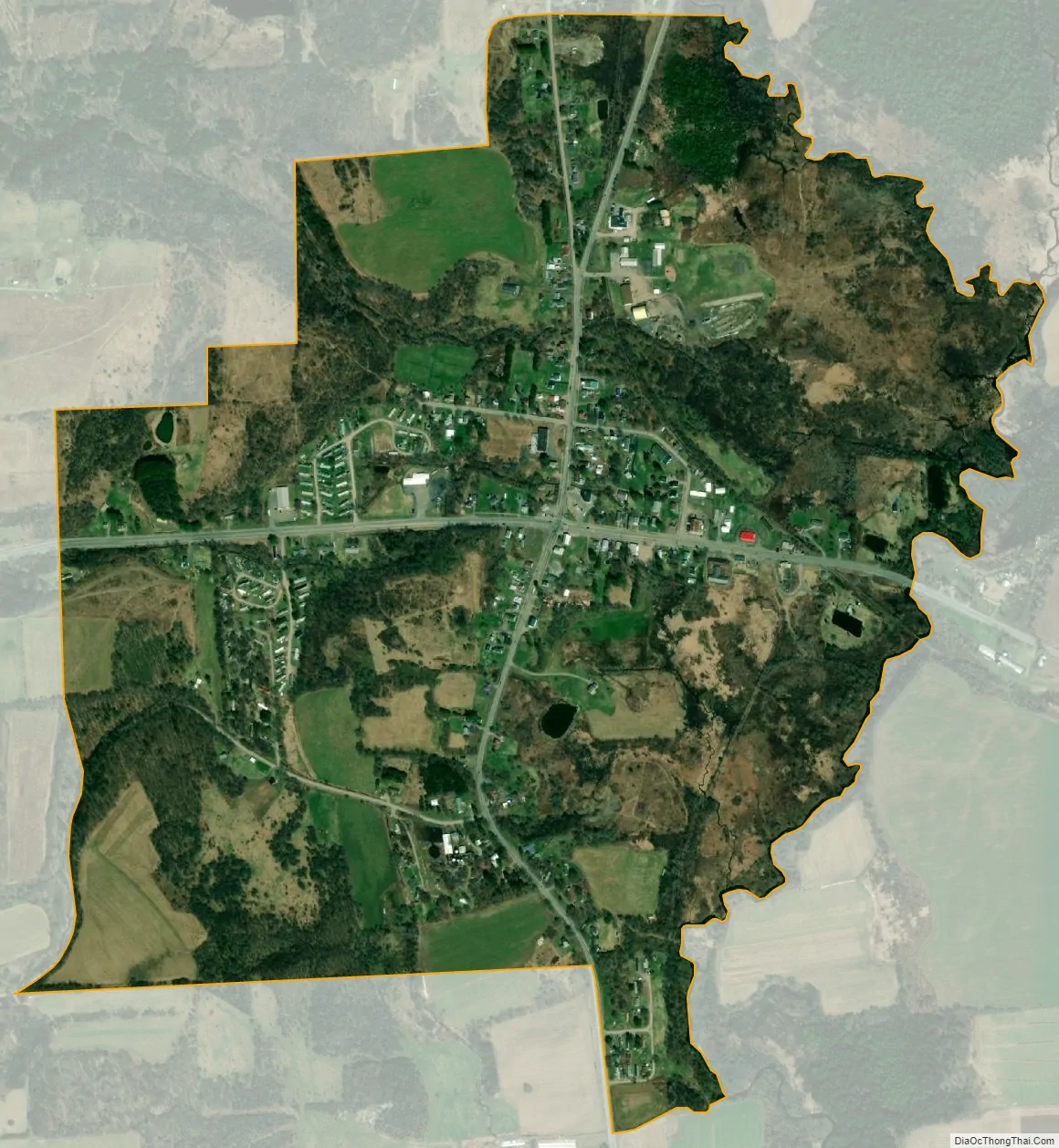
Bridgewater city Satellite Map
Geography
Bridgewater is located at 42°52.8′N 75°15.0′W / 42.8800°N 75.2500°W / 42.8800; -75.2500 (42.8793, -75.2505).
According to the United States Census Bureau, the hamlet has a total area of 0.6 square mile (1.6 km), all land.
The hamlet is at the border of Madison and Otsego counties.
Bridgewater is at the intersection of U.S. Route 20 and NY 8.
See also
Map of New York State and its subdivision:- Albany
- Allegany
- Bronx
- Broome
- Cattaraugus
- Cayuga
- Chautauqua
- Chemung
- Chenango
- Clinton
- Columbia
- Cortland
- Delaware
- Dutchess
- Erie
- Essex
- Franklin
- Fulton
- Genesee
- Greene
- Hamilton
- Herkimer
- Jefferson
- Kings
- Lake Ontario
- Lewis
- Livingston
- Madison
- Monroe
- Montgomery
- Nassau
- New York
- Niagara
- Oneida
- Onondaga
- Ontario
- Orange
- Orleans
- Oswego
- Otsego
- Putnam
- Queens
- Rensselaer
- Richmond
- Rockland
- Saint Lawrence
- Saratoga
- Schenectady
- Schoharie
- Schuyler
- Seneca
- Steuben
- Suffolk
- Sullivan
- Tioga
- Tompkins
- Ulster
- Warren
- Washington
- Wayne
- Westchester
- Wyoming
- Yates
- Alabama
- Alaska
- Arizona
- Arkansas
- California
- Colorado
- Connecticut
- Delaware
- District of Columbia
- Florida
- Georgia
- Hawaii
- Idaho
- Illinois
- Indiana
- Iowa
- Kansas
- Kentucky
- Louisiana
- Maine
- Maryland
- Massachusetts
- Michigan
- Minnesota
- Mississippi
- Missouri
- Montana
- Nebraska
- Nevada
- New Hampshire
- New Jersey
- New Mexico
- New York
- North Carolina
- North Dakota
- Ohio
- Oklahoma
- Oregon
- Pennsylvania
- Rhode Island
- South Carolina
- South Dakota
- Tennessee
- Texas
- Utah
- Vermont
- Virginia
- Washington
- West Virginia
- Wisconsin
- Wyoming