Caledonia is a village in the town of Caledonia, Livingston County, New York, United States. The population was 2,201 at the 2010 census, out of 4,255 in the entire town. The name refers to Scotland.
| Name: | Caledonia village |
|---|---|
| LSAD Code: | 47 |
| LSAD Description: | village (suffix) |
| State: | New York |
| County: | Livingston County |
| Elevation: | 650 ft (200 m) |
| Total Area: | 2.10 sq mi (5.43 km²) |
| Land Area: | 2.10 sq mi (5.43 km²) |
| Water Area: | 0.00 sq mi (0.00 km²) |
| Total Population: | 2,080 |
| Population Density: | 991.42/sq mi (382.73/km²) |
| ZIP code: | 14423 |
| Area code: | 585 |
| FIPS code: | 3611704 |
| Website: | villageofcaledoniany.org |
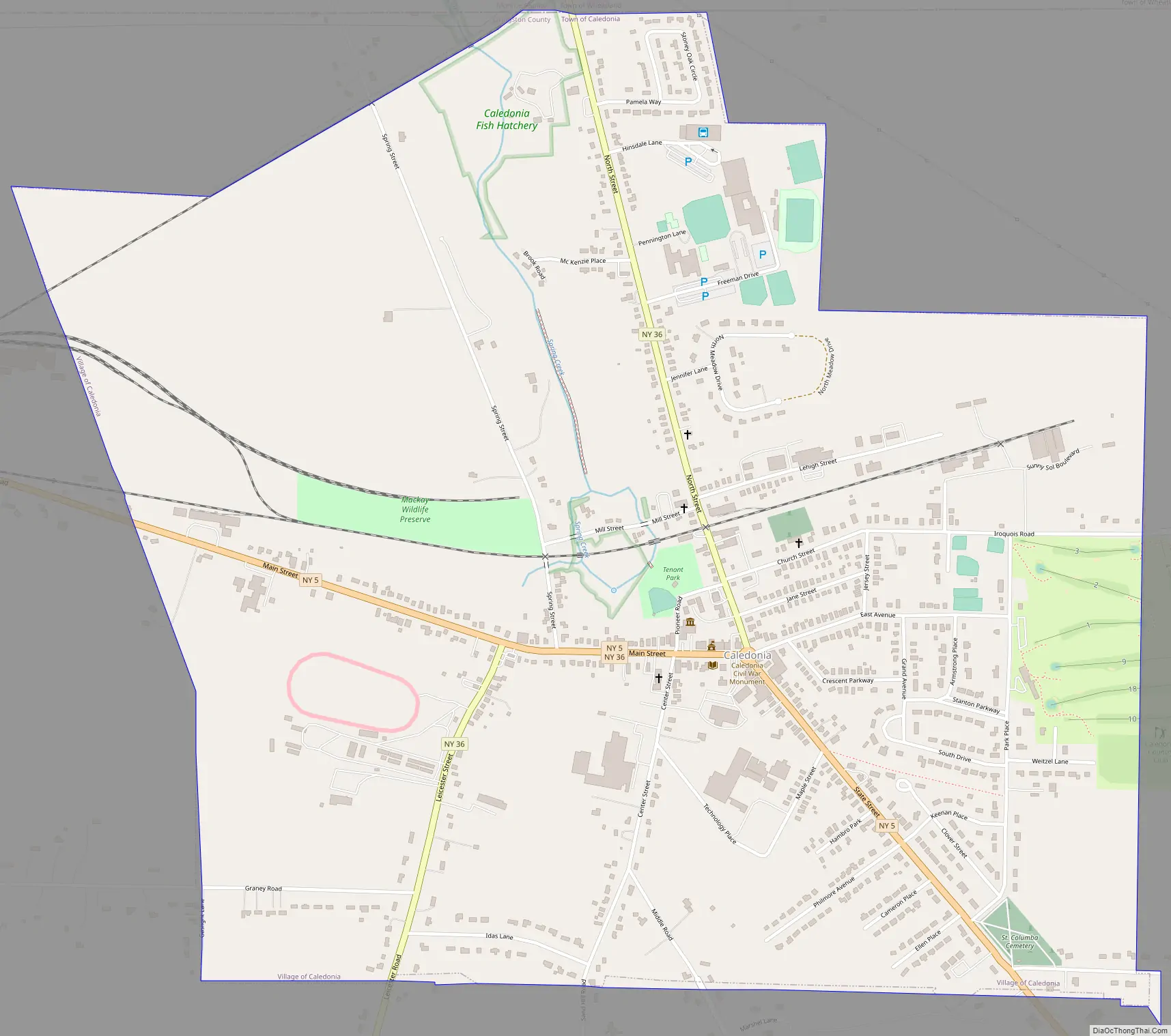
Online Interactive Map
Click on ![]() to view map in "full screen" mode.
to view map in "full screen" mode.
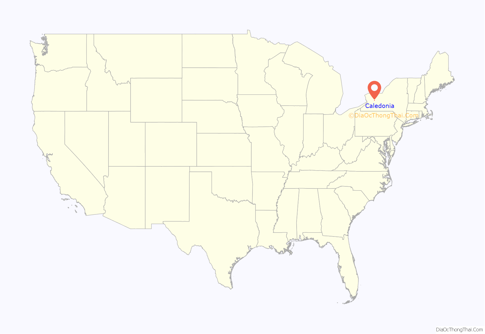
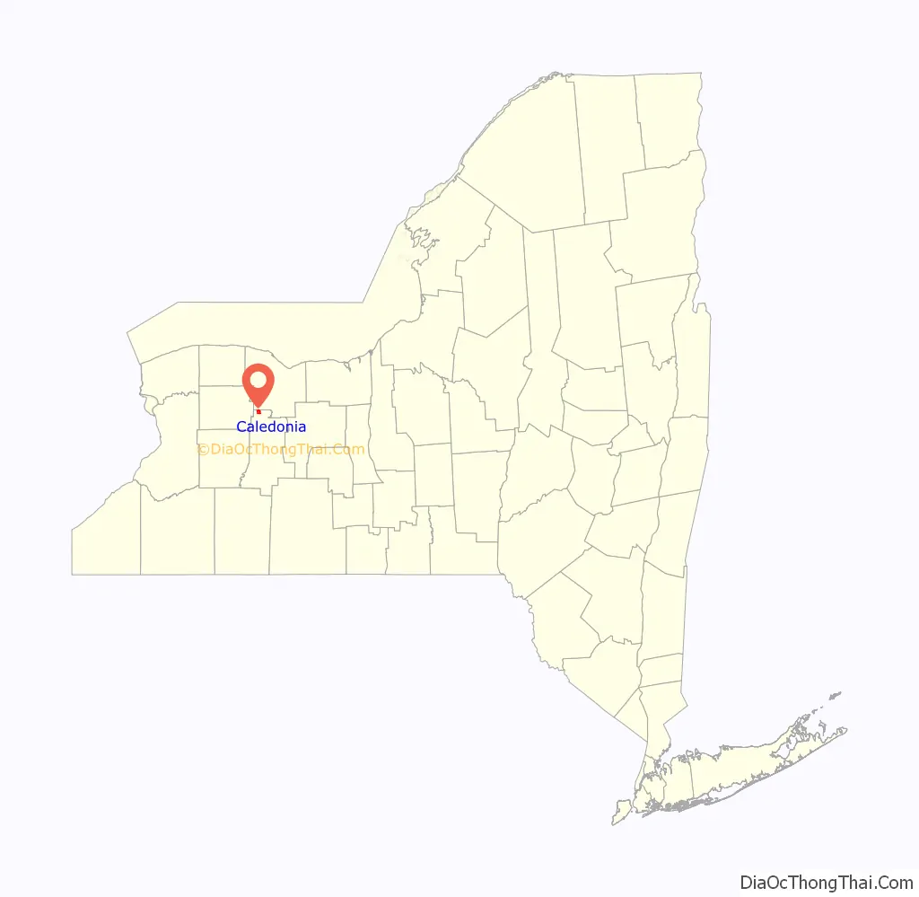
Caledonia location map. Where is Caledonia village?
History
The town was settled around 1797 by families from Scotland. In 1803, the town was incorporated into New York as “Southampton”. The name later changed to “Caledonia”. The village of Caledonia was incorporated in 1891.
The village forms many associations with the adjacent hamlet of Mumford (town of Wheatland), even though they are in different counties. Wheatland was formed as the town of Inverness from the town of Caledonia in 1821. Inverness’ name later changed to “Wheatland”, as the town did not share the Scottish ancestry of Caledonia.
The fish hatchery at the north end of Caledonia village was built by Seth Green and is the oldest in the United States.
The Caledonia Fish Hatchery, Caledonia House Hotel and Clark-Keith House are listed on the National Register of Historic Places.
Notable people
- Angus Cameron, member of the United States Senate from Wisconsin; born in Caledonia
- Matt Cappotelli, former professional wrestler
Government
Caledonia is made up of a Village and a Town. The current officials are: Daniel Pangrazio (Town Supervisor), Seth Graham (Town Clerk), Scott DiLiberto (Mayor), and Ann Marie Grattan (Village Clerk).
Caledonia Road Map
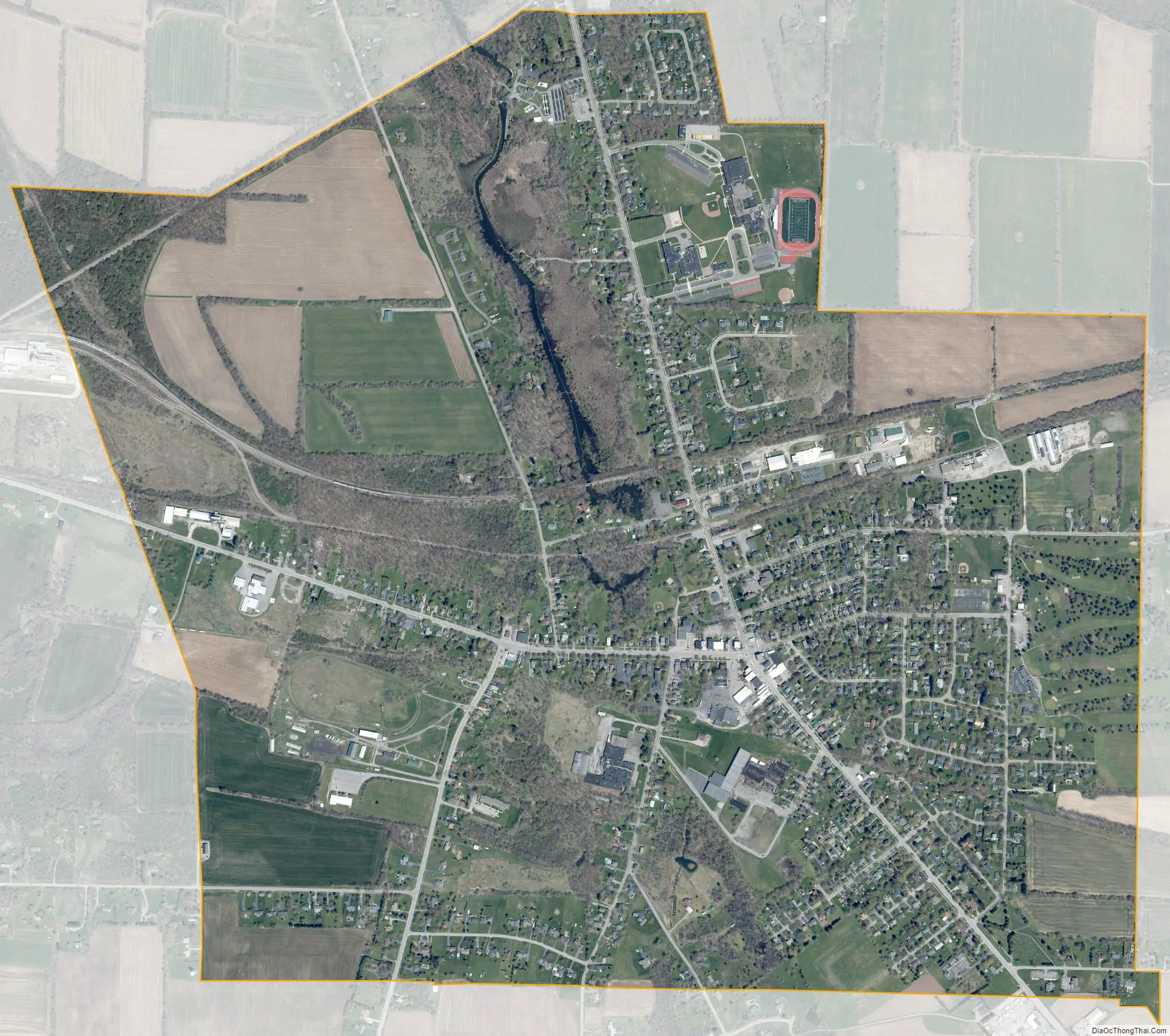
Caledonia city Satellite Map
Geography
Caledonia is located in the northernmost part of Livingston County at 42°58′25″N 77°51′15″W / 42.97361°N 77.85417°W / 42.97361; -77.85417 (42.973621, -77.854309). It is 20 miles (32 km) southwest of Rochester, 17 miles (27 km) east of Batavia and 14 miles (23 km) north of Geneseo, the Livingston county seat.
According to the United States Census Bureau, the village has a total area of 2.1 square miles (5.4 km), all land. The Caledonia Fish Hatchery is at the north end of the village along an unnamed creek that flows north to Oatka Creek in Mumford and is part of the Genesee River watershed.
New York State Route 36 intersects New York State Route 5 in Caledonia.
See also
Map of New York State and its subdivision:- Albany
- Allegany
- Bronx
- Broome
- Cattaraugus
- Cayuga
- Chautauqua
- Chemung
- Chenango
- Clinton
- Columbia
- Cortland
- Delaware
- Dutchess
- Erie
- Essex
- Franklin
- Fulton
- Genesee
- Greene
- Hamilton
- Herkimer
- Jefferson
- Kings
- Lake Ontario
- Lewis
- Livingston
- Madison
- Monroe
- Montgomery
- Nassau
- New York
- Niagara
- Oneida
- Onondaga
- Ontario
- Orange
- Orleans
- Oswego
- Otsego
- Putnam
- Queens
- Rensselaer
- Richmond
- Rockland
- Saint Lawrence
- Saratoga
- Schenectady
- Schoharie
- Schuyler
- Seneca
- Steuben
- Suffolk
- Sullivan
- Tioga
- Tompkins
- Ulster
- Warren
- Washington
- Wayne
- Westchester
- Wyoming
- Yates
- Alabama
- Alaska
- Arizona
- Arkansas
- California
- Colorado
- Connecticut
- Delaware
- District of Columbia
- Florida
- Georgia
- Hawaii
- Idaho
- Illinois
- Indiana
- Iowa
- Kansas
- Kentucky
- Louisiana
- Maine
- Maryland
- Massachusetts
- Michigan
- Minnesota
- Mississippi
- Missouri
- Montana
- Nebraska
- Nevada
- New Hampshire
- New Jersey
- New Mexico
- New York
- North Carolina
- North Dakota
- Ohio
- Oklahoma
- Oregon
- Pennsylvania
- Rhode Island
- South Carolina
- South Dakota
- Tennessee
- Texas
- Utah
- Vermont
- Virginia
- Washington
- West Virginia
- Wisconsin
- Wyoming


