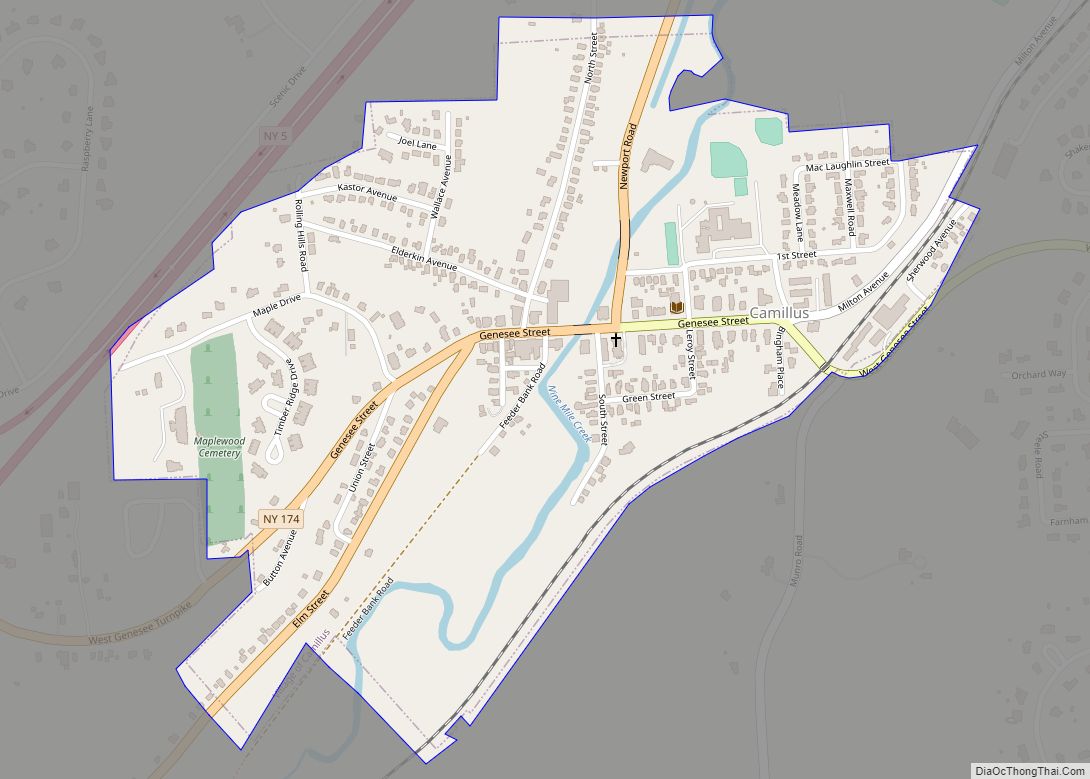
Camillus is a village in Onondaga County, New York, United States. As of the 2020 census, the population was 1,222. The village takes its name from the town in which it is located. It is part of the Syracuse Metropolitan Statistical Area.
The village of Camillus is in the town of Camillus, west of Syracuse. It was the home of the world-famous Camillus Cutlery Company.
| Name: | Camillus village |
|---|---|
| LSAD Code: | 47 |
| LSAD Description: | village (suffix) |
| State: | New York |
| County: | Onondaga County |
| Total Area: | 0.41 sq mi (1.05 km²) |
| Land Area: | 0.41 sq mi (1.05 km²) |
| Water Area: | 0.00 sq mi (0.00 km²) |
| Total Population: | 1,222 |
| Population Density: | 3,009.85/sq mi (1,162.97/km²) |
| FIPS code: | 3611902 |
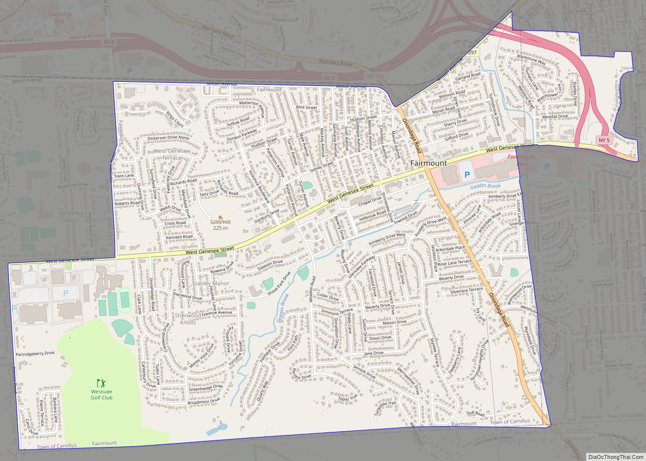
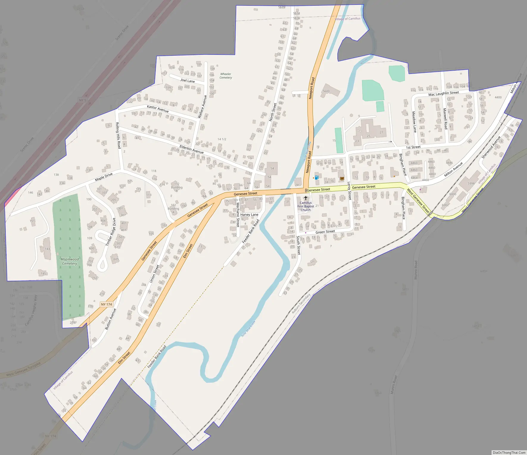
Online Interactive Map
Click on ![]() to view map in "full screen" mode.
to view map in "full screen" mode.
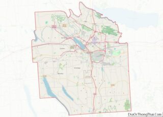
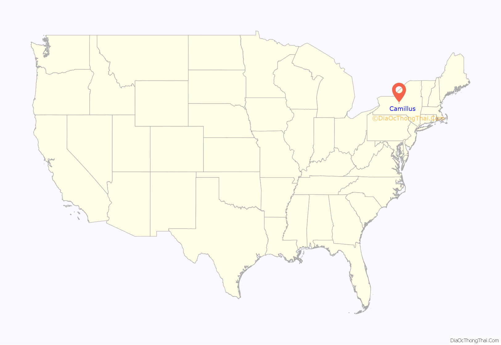
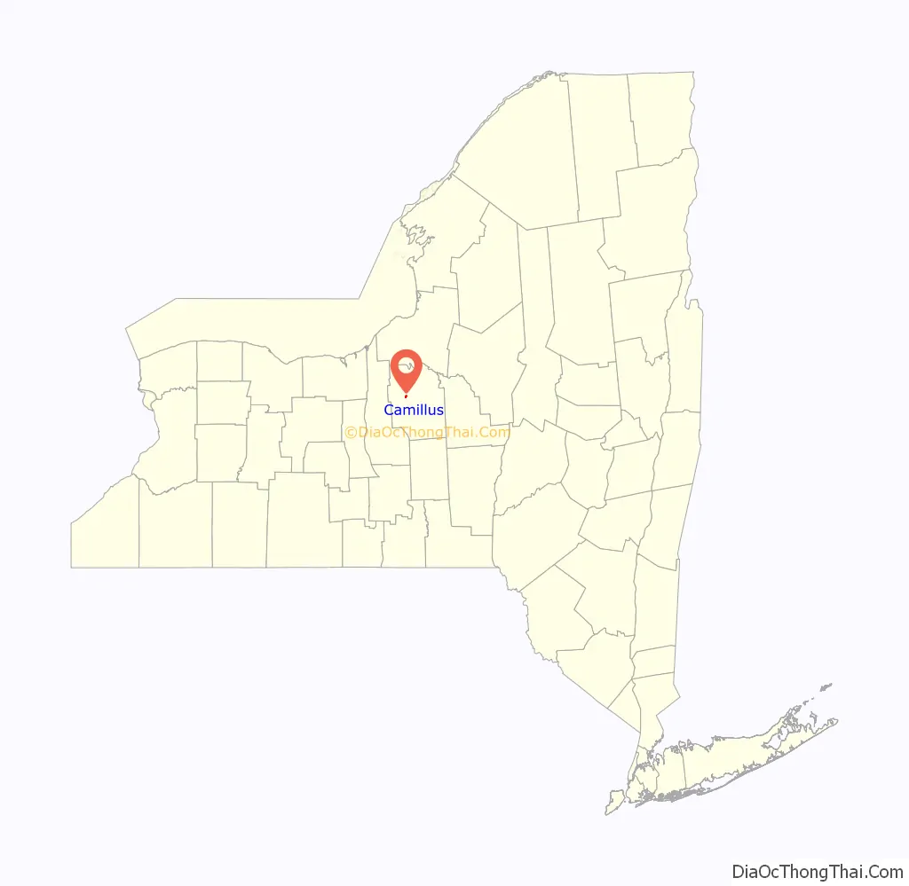
Camillus location map. Where is Camillus village?
History
Camillus village was part of the former Central New York Military Tract. The village was one of the first locations settled, around 1790.
A protest against the Fugitive Slave Law was formulated in the village in 1852.
The First Baptist Church of Camillus and Camillus Union Free School are listed on the National Register of Historic Places.
On February 11, 2013, the Camillus Cutlery Company caught on fire and was burned down. The cause of the fire was the result of a spark from a cutting torch, during metal removal; no one was injured or killed as a result of the fire.
Camillus Road Map
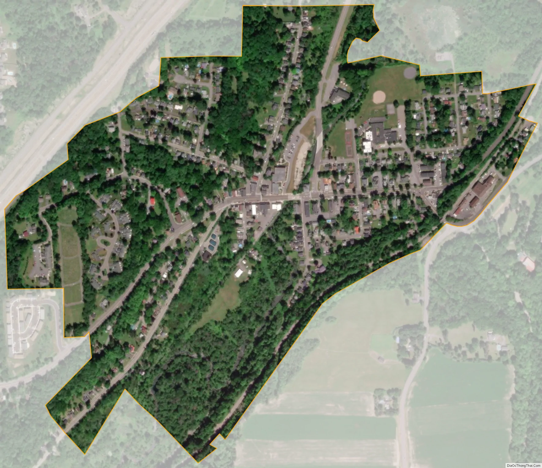
Camillus city Satellite Map
Geography
Camillus is located at 43°2′21″N 76°18′28″W / 43.03917°N 76.30778°W / 43.03917; -76.30778 (43.039364, -76.307996).
According to the United States Census Bureau, the village has a total area of 0.4 square mile (1.0 km), all land.
Camillus is southwest of Onondaga Lake and is east of New York State Route 5 and New York State Route 174.
Nine Mile Creek, passing by the village, was a source of water for the Erie Canal.
See also
Map of New York State and its subdivision:- Albany
- Allegany
- Bronx
- Broome
- Cattaraugus
- Cayuga
- Chautauqua
- Chemung
- Chenango
- Clinton
- Columbia
- Cortland
- Delaware
- Dutchess
- Erie
- Essex
- Franklin
- Fulton
- Genesee
- Greene
- Hamilton
- Herkimer
- Jefferson
- Kings
- Lake Ontario
- Lewis
- Livingston
- Madison
- Monroe
- Montgomery
- Nassau
- New York
- Niagara
- Oneida
- Onondaga
- Ontario
- Orange
- Orleans
- Oswego
- Otsego
- Putnam
- Queens
- Rensselaer
- Richmond
- Rockland
- Saint Lawrence
- Saratoga
- Schenectady
- Schoharie
- Schuyler
- Seneca
- Steuben
- Suffolk
- Sullivan
- Tioga
- Tompkins
- Ulster
- Warren
- Washington
- Wayne
- Westchester
- Wyoming
- Yates
- Alabama
- Alaska
- Arizona
- Arkansas
- California
- Colorado
- Connecticut
- Delaware
- District of Columbia
- Florida
- Georgia
- Hawaii
- Idaho
- Illinois
- Indiana
- Iowa
- Kansas
- Kentucky
- Louisiana
- Maine
- Maryland
- Massachusetts
- Michigan
- Minnesota
- Mississippi
- Missouri
- Montana
- Nebraska
- Nevada
- New Hampshire
- New Jersey
- New Mexico
- New York
- North Carolina
- North Dakota
- Ohio
- Oklahoma
- Oregon
- Pennsylvania
- Rhode Island
- South Carolina
- South Dakota
- Tennessee
- Texas
- Utah
- Vermont
- Virginia
- Washington
- West Virginia
- Wisconsin
- Wyoming