Cayuga Heights is a village in Tompkins County, New York, United States, and an upscale suburb of Ithaca. The population was 4,114 at the 2020 census.
The Village of Cayuga Heights is in the Town of Ithaca, directly northeast of the City of Ithaca and the main campus of Cornell University. The village is home to many University faculty members, including its president.
| Name: | Cayuga Heights village |
|---|---|
| LSAD Code: | 47 |
| LSAD Description: | village (suffix) |
| State: | New York |
| County: | Tompkins County |
| Incorporated: | 1915 (1915) |
| Total Area: | 1.77 sq mi (4.58 km²) |
| Land Area: | 1.77 sq mi (4.58 km²) |
| Water Area: | 0.00 sq mi (0.00 km²) |
| Total Population: | 4,114 |
| Population Density: | 2,328.24/sq mi (899.07/km²) |
| Area code: | 607 |
| FIPS code: | 3613079 |
| GNISfeature ID: | 0969981 |
| Website: | www.cayuga-heights.ny.us |
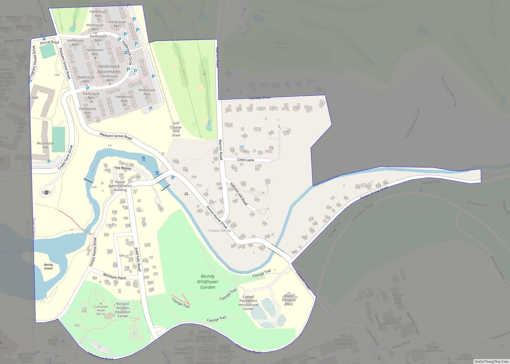
Online Interactive Map
Click on ![]() to view map in "full screen" mode.
to view map in "full screen" mode.
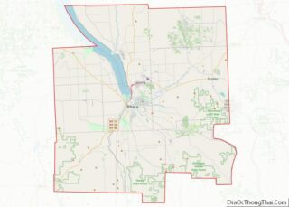
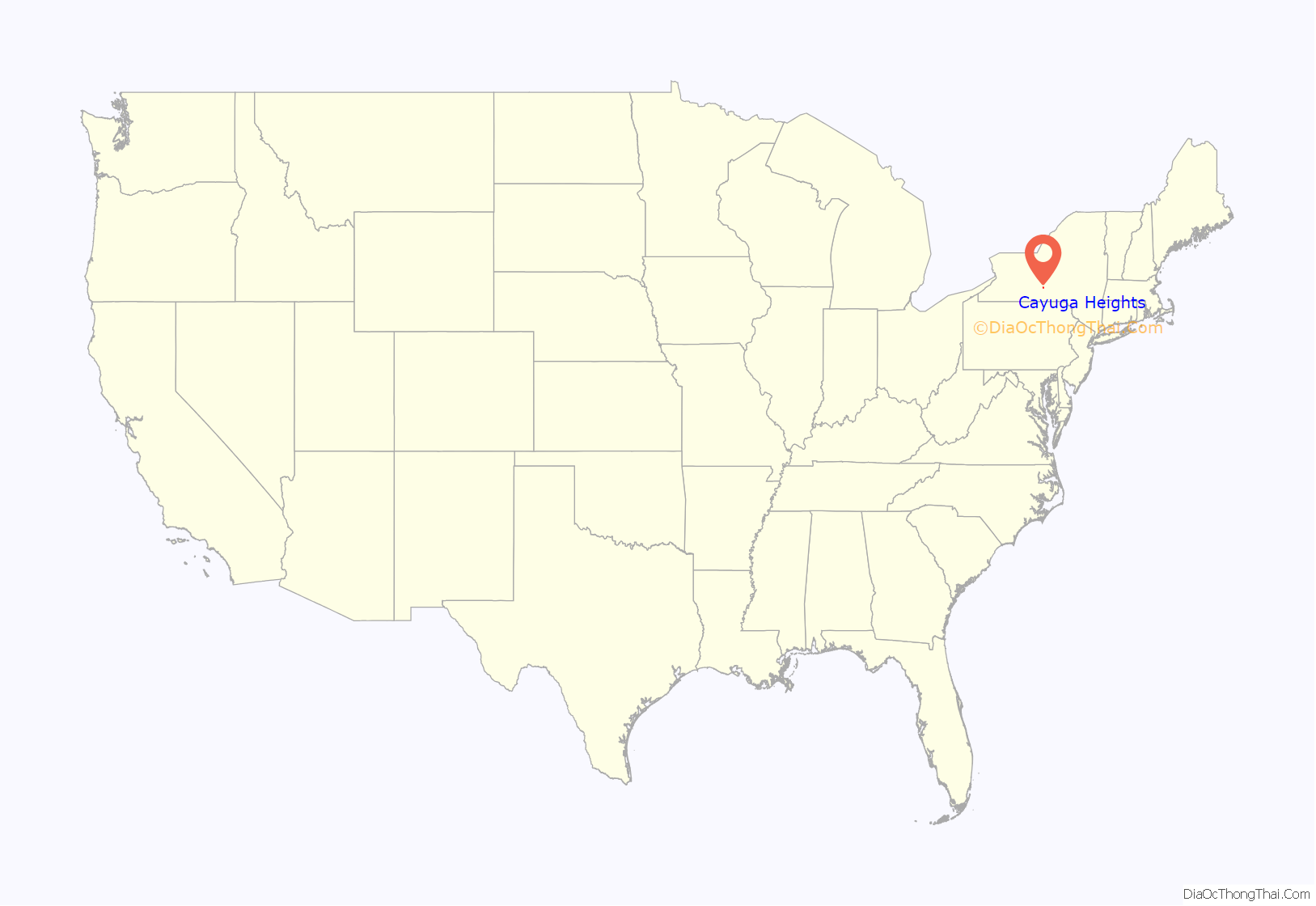
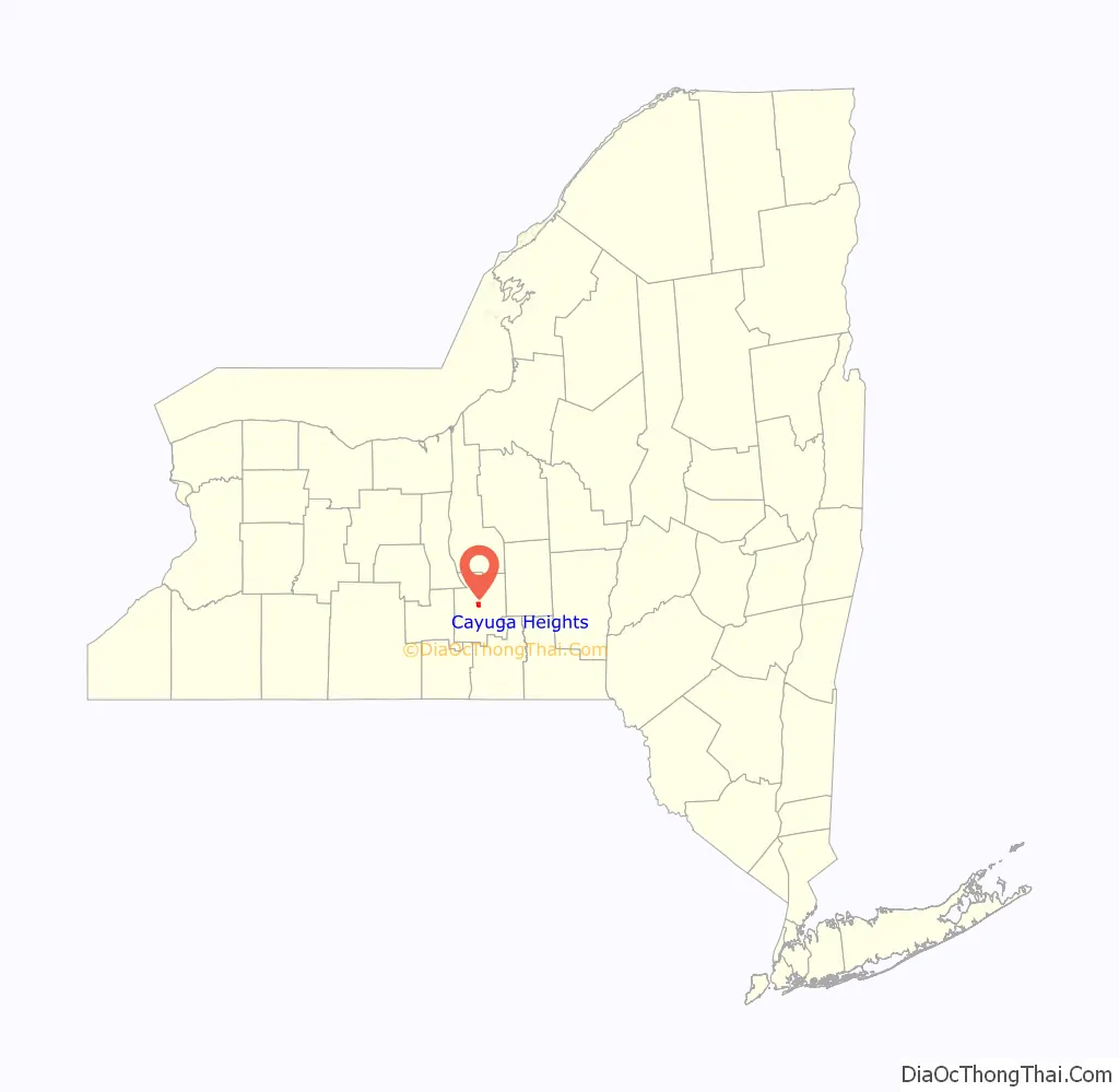
Cayuga Heights location map. Where is Cayuga Heights village?
History
After the Revolutionary War, much of Upstate New York was divided into tracts to be given to veterans. Several veterans received lots in what is now Cayuga Heights and started farms.
In the early 1800s, Ithaca started to grow as a small city and inland port. In 1865, Ezra Cornell started Cornell University. Students and faculty members initially lived on campus and in Ithaca, but rapid expansion in the late 1800s and early 1900s spurred new development north of the Fall Creek gorge. Two trolley bridges were built across the gorge, and a streetcar connected downtown, Cornell, and the budding residential development north of the gorge.
In 1901, local businessmen Charles Newman and Jared Blood bought nearly 1,000 acres of farmland and started the Cayuga Heights Land Company. They hired landscape architect Harold Caparn, who designed the Brooklyn Botanic Garden, to design an organic, curving, park-like layout of roads and trees. Cayuga Heights was incorporated as a village in 1915, consisting of a one-half square mile of land from the City of Ithaca line to what is now Upland Road. In 1924, Cayuga Heights Elementary School was built.
After World War II, Cayuga Heights continued to expand. Community Corners Shopping Center was built as a small suburban shopping plaza for residents in 1947. In 1952, the village opened its wastewater treatment plant on the shore of Cayuga Lake.
The village resisted attempts to be annexed by the growing City of Ithaca. Instead, it more than tripled in size in 1954 when it annexed approximately 1.4 square miles of land in the Town of Ithaca, extending from Upland Road to the Town of Lansing border. A large addition was built onto Cayuga Heights Elementary School in the late 1950s. In 1969, the First Congregational Church relocated from downtown Ithaca to a new building on the former site of the Country Club of Ithaca, which had relocated a mile east.
The village was a founding member of the Bolton Point Water System when it opened in the mid-1970s. In 1980, Cayuga Heights Elementary School closed due to declining enrollment. It reopened in 1988.
In 1995, the last large plot of open land in Cayuga Heights, the former Savage Farm, was developed into a retirement community, Kendal at Ithaca, by the Kendal Corporation. Kendal has since become home to many retired Cornell University faculty members; a local joke for many years was that it had the best physics department in the country, as Nobel Prize winner Hans Bethe, along with Boyce McDaniel, Dale Corson, and many other physicists, were long-time residents.
On January 12, 2015, the board of trustees of the Village of Cayuga Heights unanimously adopted a resolution declaring freedom from domestic violence to be a fundamental human right.
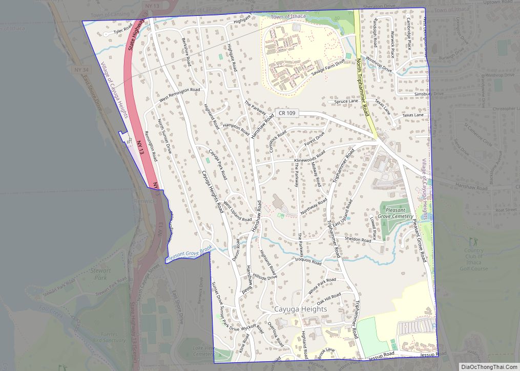
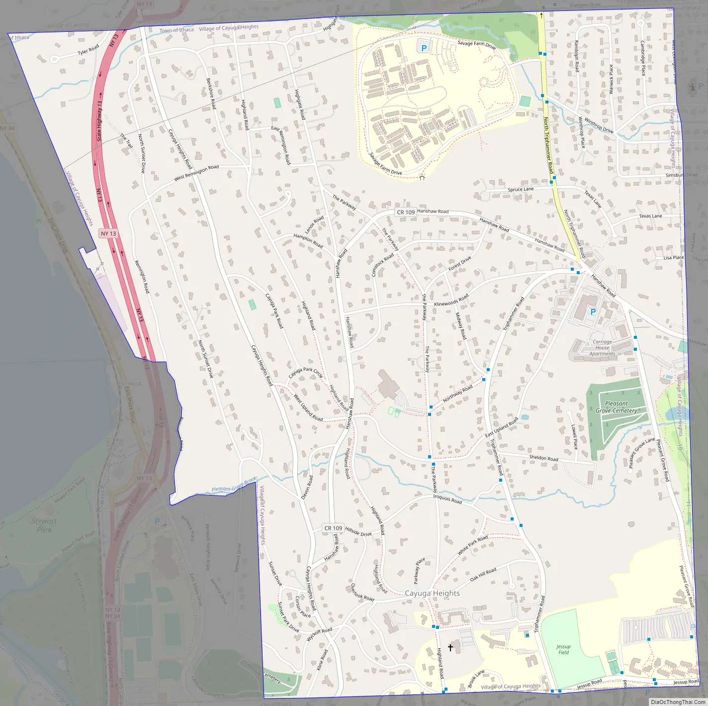
Cayuga Heights Road Map
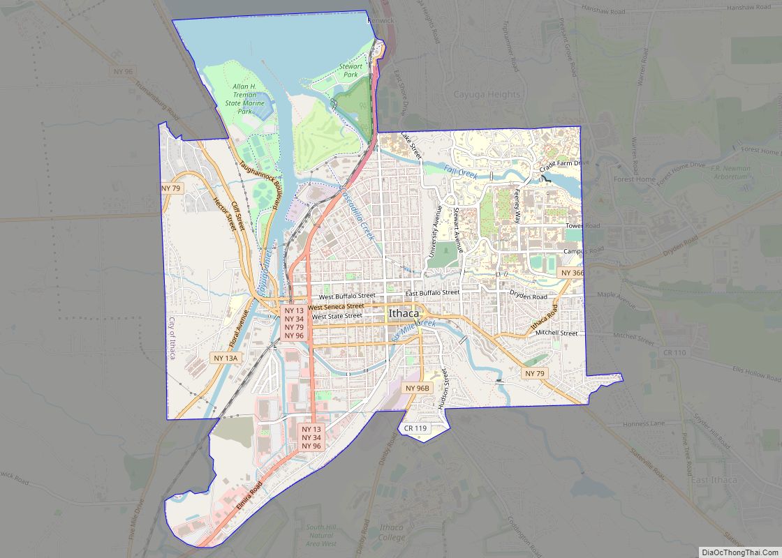
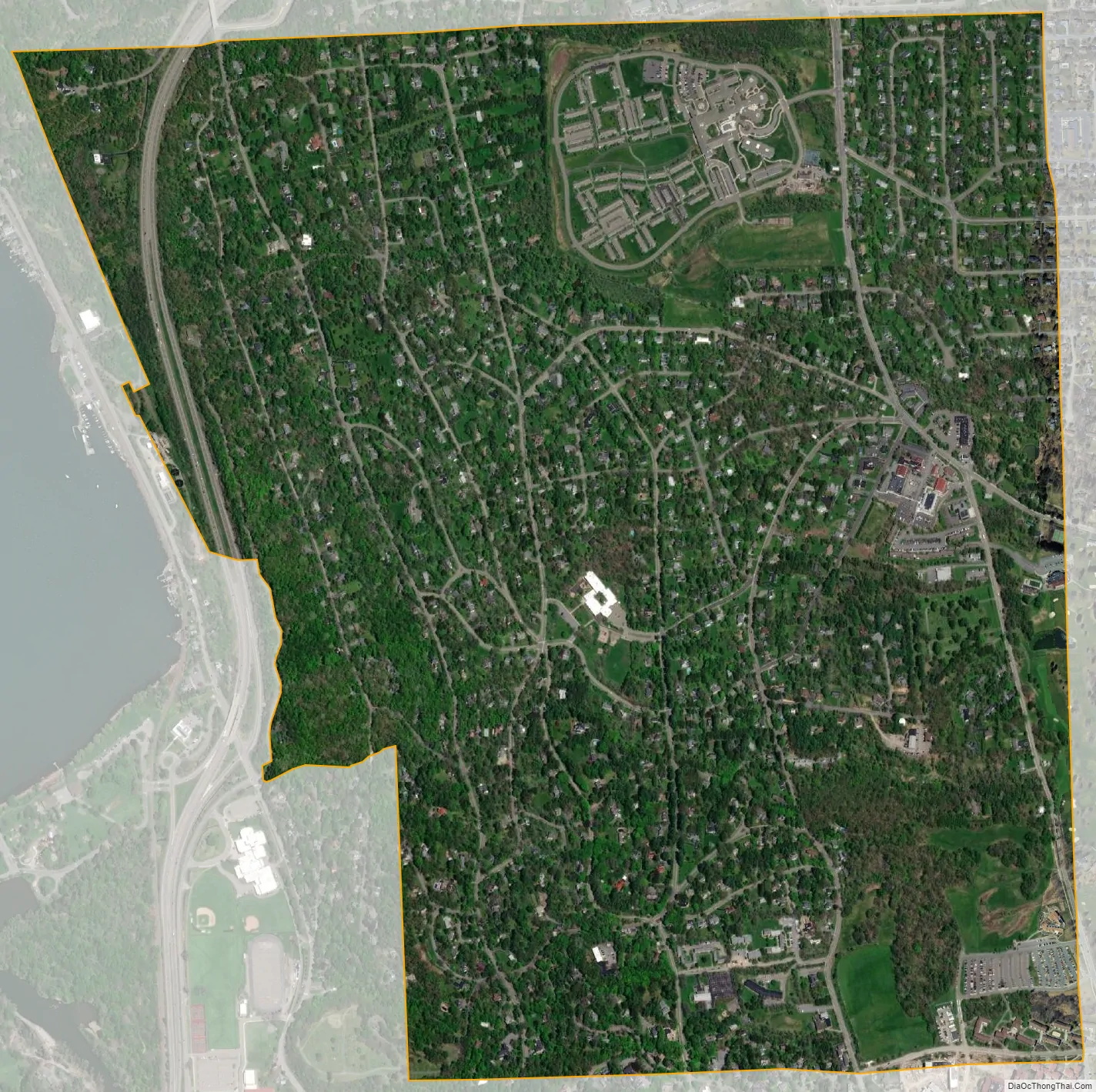
Cayuga Heights city Satellite Map
Geography
Cayuga Heights is located at 42°27′59″N 76°29′19″W / 42.466338°N 76.488678°W / 42.466338; -76.488678 (42.466338, -76.488678), on the eastern slope of Cayuga Lake. The elevation ranges from 900 feet near Community Corners Shopping Center to 400 feet near the lake. Several streams and steep gorges cut through the village.
According to the United States Census Bureau, the village has a total area of 1.8 square miles (4.7 km), all of it land.
The village is at the south end of Cayuga Lake, one of the Finger Lakes.
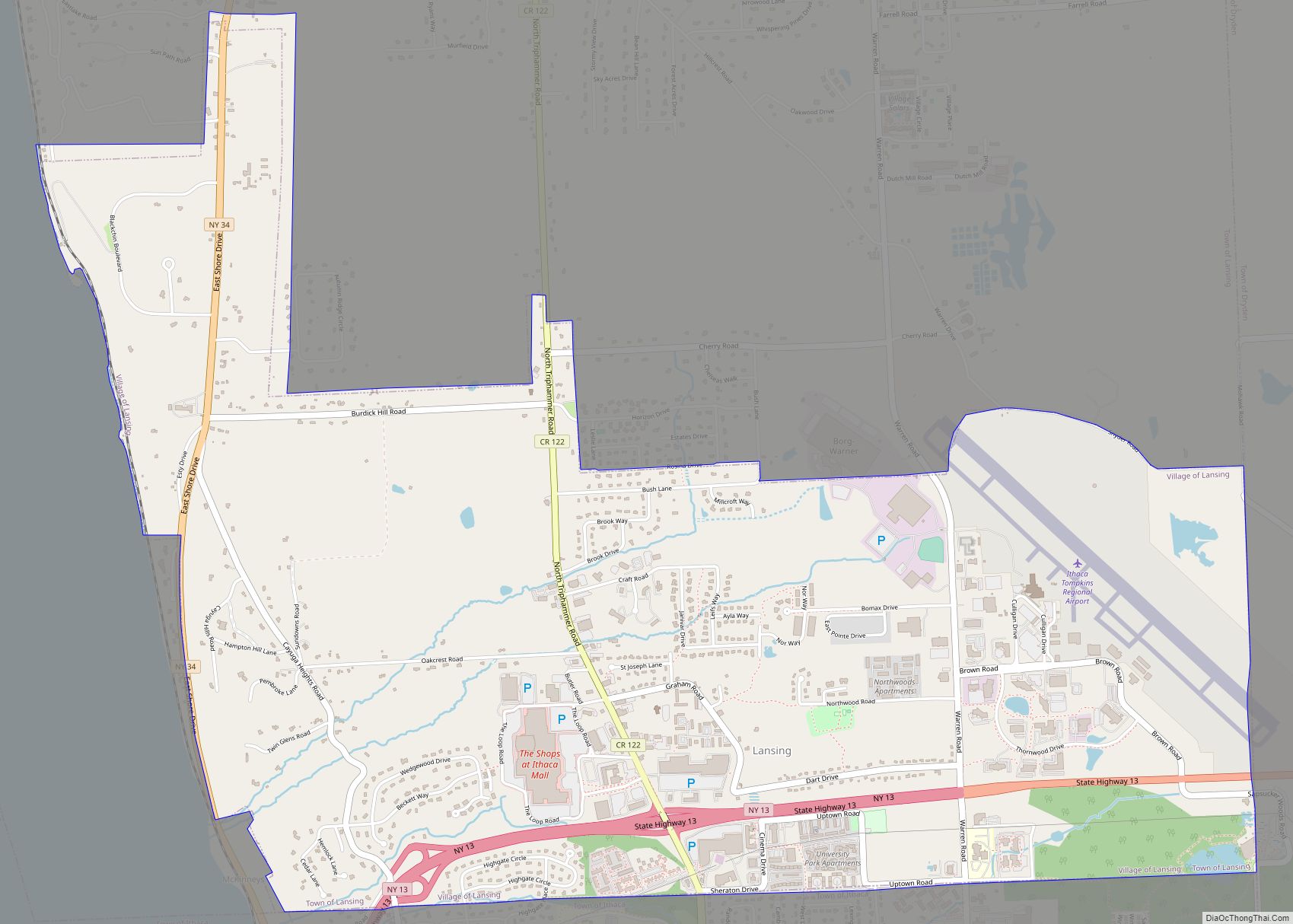
Cayuga Heights borders, on its north, the Village of Lansing.
Two examples of old-growth oak/hickory forests are in the village: Palmer Woods, on the south side of the village near Cornell campus, and Renwick Slope, on the far western part of the village by Cayuga Lake. Both are managed by Cornell Botanic Gardens.
The village has gotten attention for its large population of white-tailed deer. In addition to deer, the village also hosts foxes, wild turkey, squirrels, chipmunks, and rabbits.
See also
Map of New York State and its subdivision:- Albany
- Allegany
- Bronx
- Broome
- Cattaraugus
- Cayuga
- Chautauqua
- Chemung
- Chenango
- Clinton
- Columbia
- Cortland
- Delaware
- Dutchess
- Erie
- Essex
- Franklin
- Fulton
- Genesee
- Greene
- Hamilton
- Herkimer
- Jefferson
- Kings
- Lake Ontario
- Lewis
- Livingston
- Madison
- Monroe
- Montgomery
- Nassau
- New York
- Niagara
- Oneida
- Onondaga
- Ontario
- Orange
- Orleans
- Oswego
- Otsego
- Putnam
- Queens
- Rensselaer
- Richmond
- Rockland
- Saint Lawrence
- Saratoga
- Schenectady
- Schoharie
- Schuyler
- Seneca
- Steuben
- Suffolk
- Sullivan
- Tioga
- Tompkins
- Ulster
- Warren
- Washington
- Wayne
- Westchester
- Wyoming
- Yates
- Alabama
- Alaska
- Arizona
- Arkansas
- California
- Colorado
- Connecticut
- Delaware
- District of Columbia
- Florida
- Georgia
- Hawaii
- Idaho
- Illinois
- Indiana
- Iowa
- Kansas
- Kentucky
- Louisiana
- Maine
- Maryland
- Massachusetts
- Michigan
- Minnesota
- Mississippi
- Missouri
- Montana
- Nebraska
- Nevada
- New Hampshire
- New Jersey
- New Mexico
- New York
- North Carolina
- North Dakota
- Ohio
- Oklahoma
- Oregon
- Pennsylvania
- Rhode Island
- South Carolina
- South Dakota
- Tennessee
- Texas
- Utah
- Vermont
- Virginia
- Washington
- West Virginia
- Wisconsin
- Wyoming