Center Moriches (/moʊˈrɪtʃɪz/ (listen) moh-RITCH-iz) is a hamlet and census-designated place in Suffolk County, New York, United States. The population was 7,580 at the 2010 census. Center Moriches is in the town of Brookhaven. It is the location of the historic Masury Estate Ballroom and Terry-Ketcham Inn, both listed on the National Register of Historic Places.
The name Moriches comes from Meritces, a Native American who owned land on Moriches Neck.
| Name: | Center Moriches CDP |
|---|---|
| LSAD Code: | 57 |
| LSAD Description: | CDP (suffix) |
| State: | New York |
| County: | Suffolk County |
| Elevation: | 26 ft (8 m) |
| Total Area: | 6.04 sq mi (15.65 km²) |
| Land Area: | 5.26 sq mi (13.63 km²) |
| Water Area: | 0.78 sq mi (2.02 km²) |
| Total Population: | 8,046 |
| Population Density: | 1,528.79/sq mi (590.22/km²) |
| ZIP code: | 11934 |
| Area code: | 631, 934 |
| FIPS code: | 3613420 |
| GNISfeature ID: | 0969982 |
Online Interactive Map
Click on ![]() to view map in "full screen" mode.
to view map in "full screen" mode.
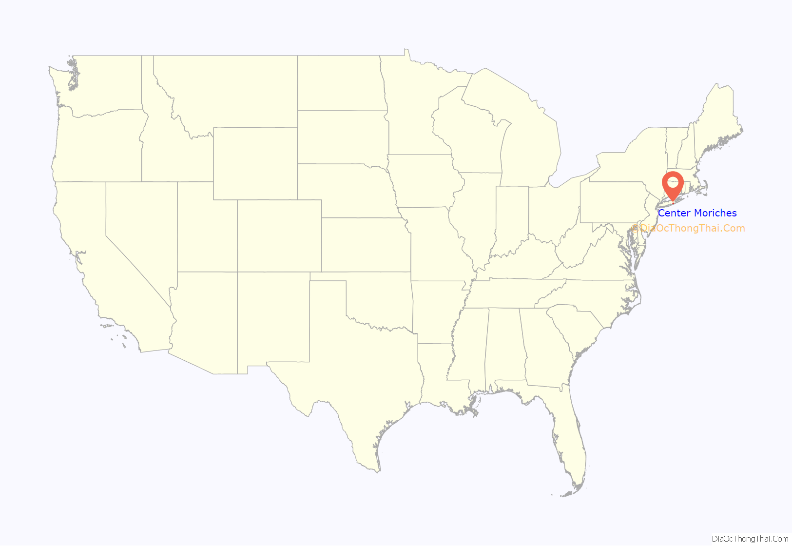
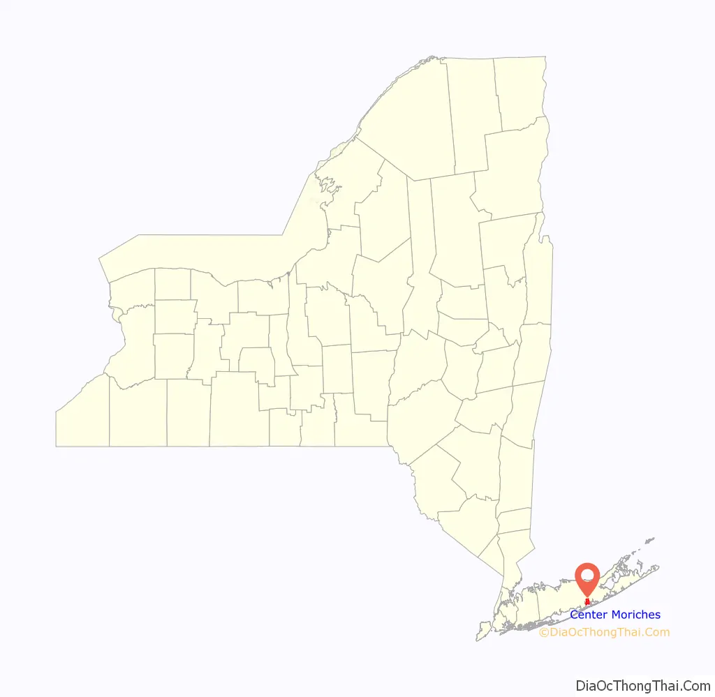
Center Moriches location map. Where is Center Moriches CDP?
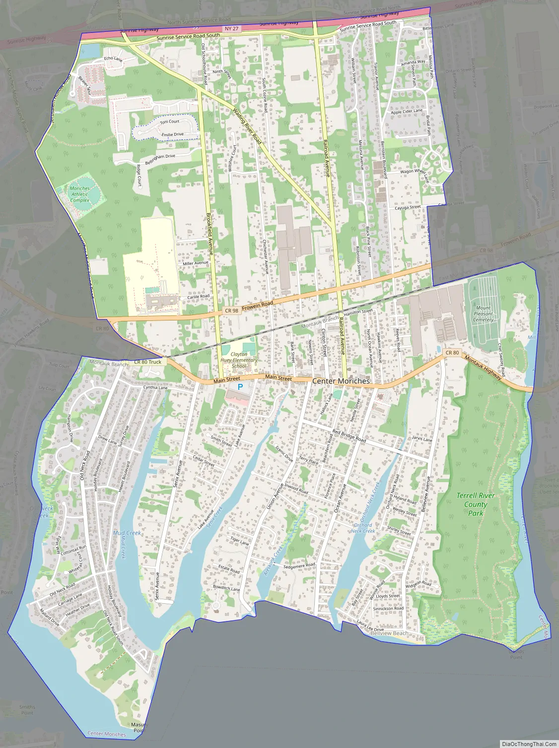
Center Moriches Road Map
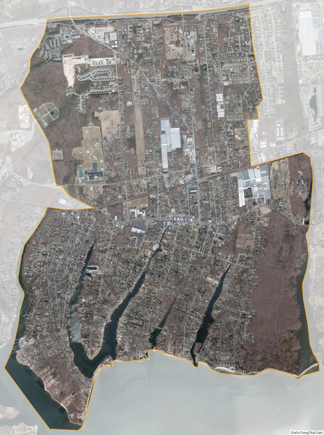
Center Moriches city Satellite Map
Geography
According to the United States Census Bureau, the CDP has a total area of 5.6 square miles (14.6 km), of which 5.2 square miles (13.5 km) is land and 0.42 square miles (1.1 km), or 7.36%, is water.
See also
Map of New York State and its subdivision:- Albany
- Allegany
- Bronx
- Broome
- Cattaraugus
- Cayuga
- Chautauqua
- Chemung
- Chenango
- Clinton
- Columbia
- Cortland
- Delaware
- Dutchess
- Erie
- Essex
- Franklin
- Fulton
- Genesee
- Greene
- Hamilton
- Herkimer
- Jefferson
- Kings
- Lake Ontario
- Lewis
- Livingston
- Madison
- Monroe
- Montgomery
- Nassau
- New York
- Niagara
- Oneida
- Onondaga
- Ontario
- Orange
- Orleans
- Oswego
- Otsego
- Putnam
- Queens
- Rensselaer
- Richmond
- Rockland
- Saint Lawrence
- Saratoga
- Schenectady
- Schoharie
- Schuyler
- Seneca
- Steuben
- Suffolk
- Sullivan
- Tioga
- Tompkins
- Ulster
- Warren
- Washington
- Wayne
- Westchester
- Wyoming
- Yates
- Alabama
- Alaska
- Arizona
- Arkansas
- California
- Colorado
- Connecticut
- Delaware
- District of Columbia
- Florida
- Georgia
- Hawaii
- Idaho
- Illinois
- Indiana
- Iowa
- Kansas
- Kentucky
- Louisiana
- Maine
- Maryland
- Massachusetts
- Michigan
- Minnesota
- Mississippi
- Missouri
- Montana
- Nebraska
- Nevada
- New Hampshire
- New Jersey
- New Mexico
- New York
- North Carolina
- North Dakota
- Ohio
- Oklahoma
- Oregon
- Pennsylvania
- Rhode Island
- South Carolina
- South Dakota
- Tennessee
- Texas
- Utah
- Vermont
- Virginia
- Washington
- West Virginia
- Wisconsin
- Wyoming


