Centereach (/ˈsɛntəritʃ/) is a hamlet and census-designated place in Suffolk County, New York, United States. The population was 31,578 at the 2010 census.
| Name: | Centereach CDP |
|---|---|
| LSAD Code: | 57 |
| LSAD Description: | CDP (suffix) |
| State: | New York |
| County: | Suffolk County |
| Elevation: | 309 ft (94 m) |
| Total Area: | 8.92 sq mi (23.10 km²) |
| Land Area: | 8.92 sq mi (23.10 km²) |
| Water Area: | 0.00 sq mi (0.00 km²) |
| Total Population: | 30,980 |
| Population Density: | 3,473.87/sq mi (1,341.34/km²) |
| ZIP code: | 11720 |
| Area code: | 631, 934 |
| FIPS code: | 3613376 |
| GNISfeature ID: | 0946206 |
Online Interactive Map
Click on ![]() to view map in "full screen" mode.
to view map in "full screen" mode.
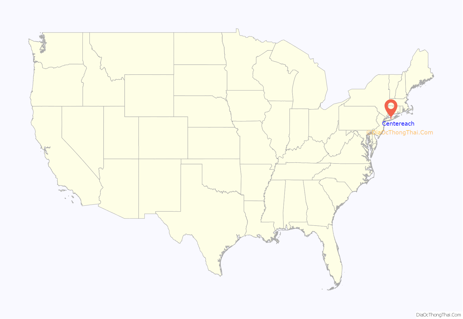
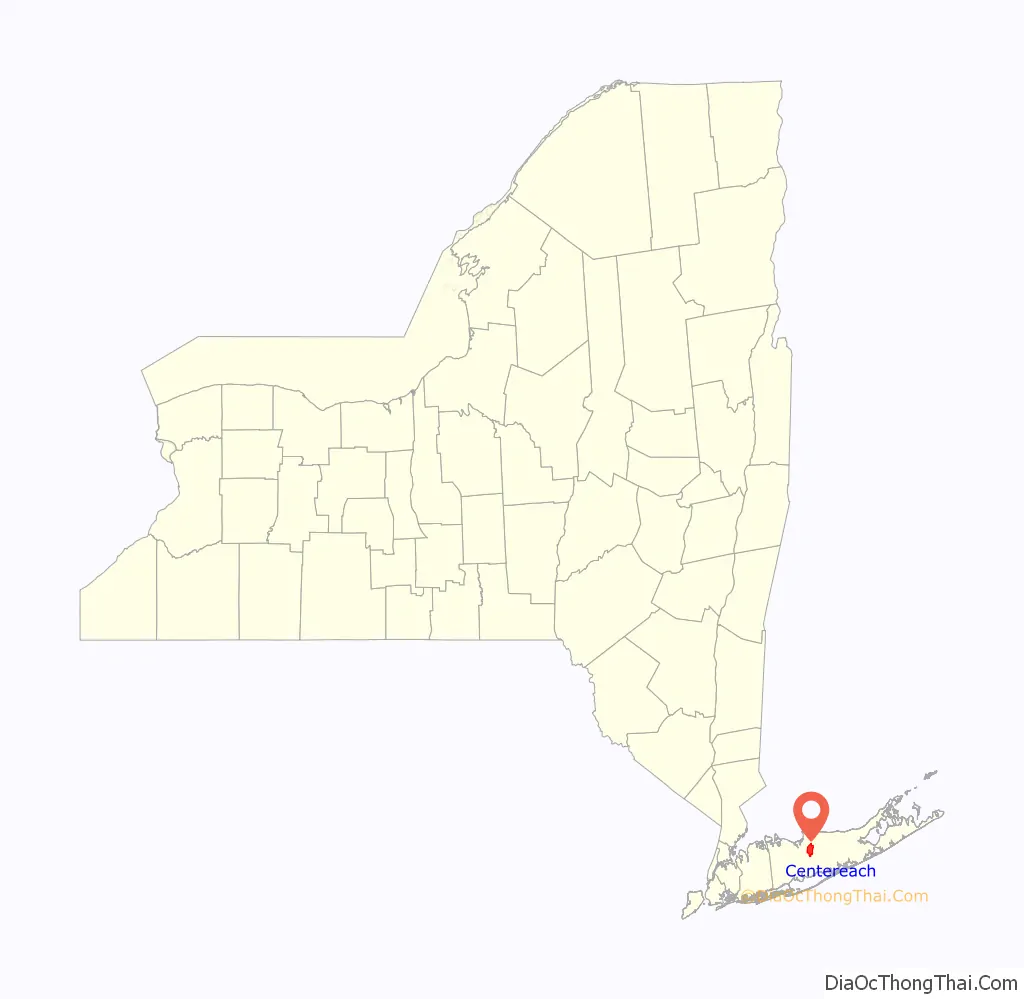
Centereach location map. Where is Centereach CDP?
History
The hamlet of Centereach was first called West Middle Island, but primarily became known as New Village until the early 20th century. When it was discovered that another village shared the same name, the name was changed to Centereach in 1916. The name Centereach reflects the centrality of the hamlet’s location on Long Island, literally meaning “center reached”.
Over the years Centereach has progressed from a small hamlet to a primarily suburban community. The population in 1940 was only 628, but the area had grown to nearly 20,000 residents by 1970.
The two earliest suburban developments, which began in the early 1950s, were Dawn Estates and Eastwood Village.
In 1998, the first single-point urban interchange in New York State was opened in Centereach, at Middle Country Road and Nicolls Road.
Centereach, historically a working-class area, has experienced a construction boom in the past decade. As of 2009, the median home price was $335,000. New construction in the Centereach area has resulted in an influx of residents with a higher median income.
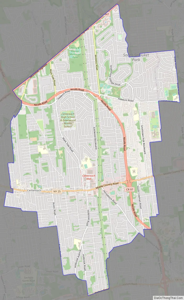
Centereach Road Map
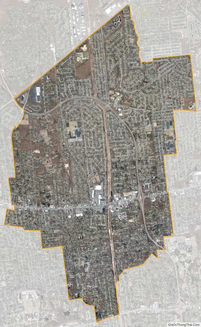
Centereach city Satellite Map
Geography
According to the United States Census Bureau, the CDP has a total area of 8.7 square miles (22.6 km), all land.
New York State Route 25 (Middle Country Road) passes through the community and is the primary commercial thoroughfare.
Centereach borders East Setauket, Terryville, Selden, Farmingville, Holtsville, Holbrook, Lake Ronkonkoma, Lake Grove and Stony Brook on Long Island.
See also
Map of New York State and its subdivision:- Albany
- Allegany
- Bronx
- Broome
- Cattaraugus
- Cayuga
- Chautauqua
- Chemung
- Chenango
- Clinton
- Columbia
- Cortland
- Delaware
- Dutchess
- Erie
- Essex
- Franklin
- Fulton
- Genesee
- Greene
- Hamilton
- Herkimer
- Jefferson
- Kings
- Lake Ontario
- Lewis
- Livingston
- Madison
- Monroe
- Montgomery
- Nassau
- New York
- Niagara
- Oneida
- Onondaga
- Ontario
- Orange
- Orleans
- Oswego
- Otsego
- Putnam
- Queens
- Rensselaer
- Richmond
- Rockland
- Saint Lawrence
- Saratoga
- Schenectady
- Schoharie
- Schuyler
- Seneca
- Steuben
- Suffolk
- Sullivan
- Tioga
- Tompkins
- Ulster
- Warren
- Washington
- Wayne
- Westchester
- Wyoming
- Yates
- Alabama
- Alaska
- Arizona
- Arkansas
- California
- Colorado
- Connecticut
- Delaware
- District of Columbia
- Florida
- Georgia
- Hawaii
- Idaho
- Illinois
- Indiana
- Iowa
- Kansas
- Kentucky
- Louisiana
- Maine
- Maryland
- Massachusetts
- Michigan
- Minnesota
- Mississippi
- Missouri
- Montana
- Nebraska
- Nevada
- New Hampshire
- New Jersey
- New Mexico
- New York
- North Carolina
- North Dakota
- Ohio
- Oklahoma
- Oregon
- Pennsylvania
- Rhode Island
- South Carolina
- South Dakota
- Tennessee
- Texas
- Utah
- Vermont
- Virginia
- Washington
- West Virginia
- Wisconsin
- Wyoming


