Central Islip (Also known as CI) is a hamlet and census-designated place (CDP) within the Town of Islip in Suffolk County, New York, United States. The population was 34,450 at the 2010 census.
| Name: | Central Islip CDP |
|---|---|
| LSAD Code: | 57 |
| LSAD Description: | CDP (suffix) |
| State: | New York |
| County: | Suffolk County |
| Elevation: | 85 ft (26 m) |
| Total Area: | 7.16 sq mi (18.53 km²) |
| Land Area: | 7.16 sq mi (18.53 km²) |
| Water Area: | 0.00 sq mi (0.00 km²) |
| Total Population: | 36,714 |
| Population Density: | 5,131.24/sq mi (1,981.27/km²) |
| ZIP code: | 11722, 11749, 11760 |
| Area code: | 631, 934 |
| FIPS code: | 3613552 |
| GNISfeature ID: | 0946246 |
Online Interactive Map
Click on ![]() to view map in "full screen" mode.
to view map in "full screen" mode.
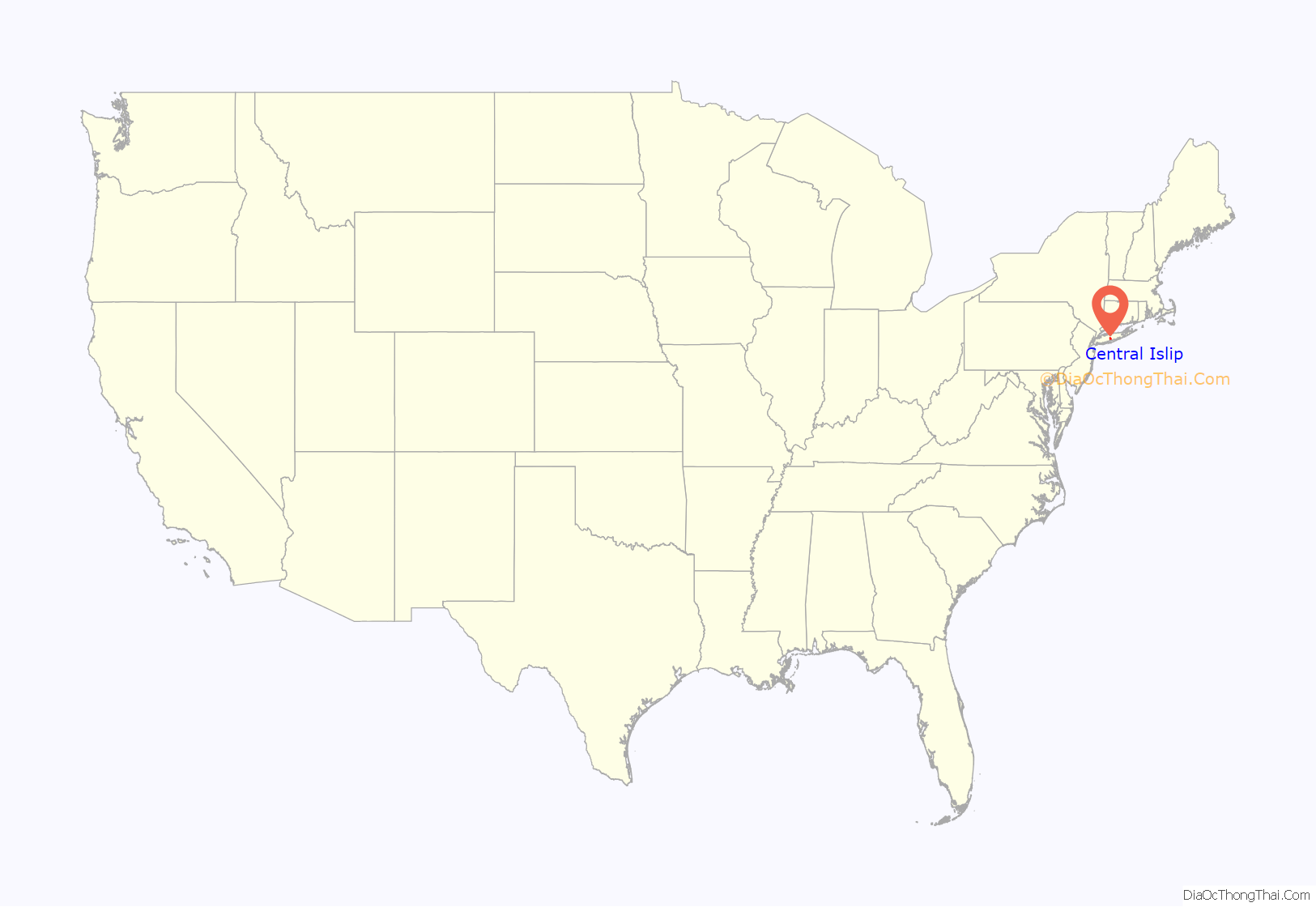
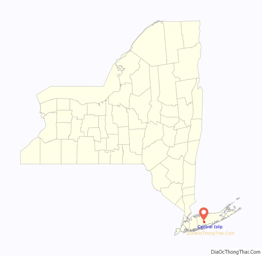
Central Islip location map. Where is Central Islip CDP?
History
Prior to the arrival of European settlers, the Secatogue tribe of Algonquin native-American people lived in the area now known as Central Islip.
In 1842, the Long Island Rail Road’s eastward expansion reached the area, and the Suffolk County Station was opened up. The Suffolk County Station, became the commercial center for housing. With that being done the name Central Islip was thus born, and applied to a new station built in 1873 further to the east. The modern Central Islip station is in a different location from all of its predecessors.
In 1889, what became the Central Islip Psychiatric Center opened. By 1955, it housed over 10,000 patients. It closed in 1996.
In the mid-1990s, Central Islip began a resurgence, with new housing developments, commercial properties, and government complexes. A new federal courthouse complex opened, claimed to be the second largest in the country. On part of the site of the former Central Islip Psychiatric Center’s 788-acre (3.19 km) campus. In 2000, the baseball stadium for Independent league team Long Island Ducks opened up.
Housing developments in Central Islip include:
- College Woods
- Park Row
- Bella Casa Estates
- Islip Landing
- Courthouse Commons
- Waddington Estates
- Hawthorne Court (Home Properties)
- Coventry Village
Today, Central Isilp is a mainly Hispanic area and many of them only speak Spanish. Hispanics make up 57.7% of the total population of Central Islip, although there is also a large population of African Americans as well and only a few Non Hispanic whites live in as . Central Islip has a problem with crime and gangs such as the MS 13 and the Bloods are active in the area.
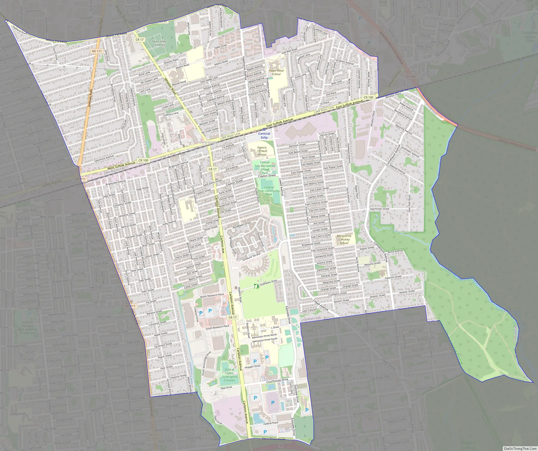
Central Islip Road Map
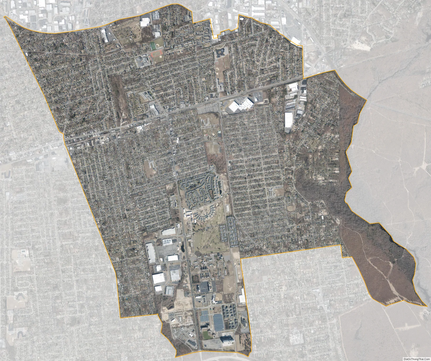
Central Islip city Satellite Map
Geography
According to the United States Census Bureau, the CDP has a total area of 7.1 square miles (18.4 km), all land.
See also
Map of New York State and its subdivision:- Albany
- Allegany
- Bronx
- Broome
- Cattaraugus
- Cayuga
- Chautauqua
- Chemung
- Chenango
- Clinton
- Columbia
- Cortland
- Delaware
- Dutchess
- Erie
- Essex
- Franklin
- Fulton
- Genesee
- Greene
- Hamilton
- Herkimer
- Jefferson
- Kings
- Lake Ontario
- Lewis
- Livingston
- Madison
- Monroe
- Montgomery
- Nassau
- New York
- Niagara
- Oneida
- Onondaga
- Ontario
- Orange
- Orleans
- Oswego
- Otsego
- Putnam
- Queens
- Rensselaer
- Richmond
- Rockland
- Saint Lawrence
- Saratoga
- Schenectady
- Schoharie
- Schuyler
- Seneca
- Steuben
- Suffolk
- Sullivan
- Tioga
- Tompkins
- Ulster
- Warren
- Washington
- Wayne
- Westchester
- Wyoming
- Yates
- Alabama
- Alaska
- Arizona
- Arkansas
- California
- Colorado
- Connecticut
- Delaware
- District of Columbia
- Florida
- Georgia
- Hawaii
- Idaho
- Illinois
- Indiana
- Iowa
- Kansas
- Kentucky
- Louisiana
- Maine
- Maryland
- Massachusetts
- Michigan
- Minnesota
- Mississippi
- Missouri
- Montana
- Nebraska
- Nevada
- New Hampshire
- New Jersey
- New Mexico
- New York
- North Carolina
- North Dakota
- Ohio
- Oklahoma
- Oregon
- Pennsylvania
- Rhode Island
- South Carolina
- South Dakota
- Tennessee
- Texas
- Utah
- Vermont
- Virginia
- Washington
- West Virginia
- Wisconsin
- Wyoming


