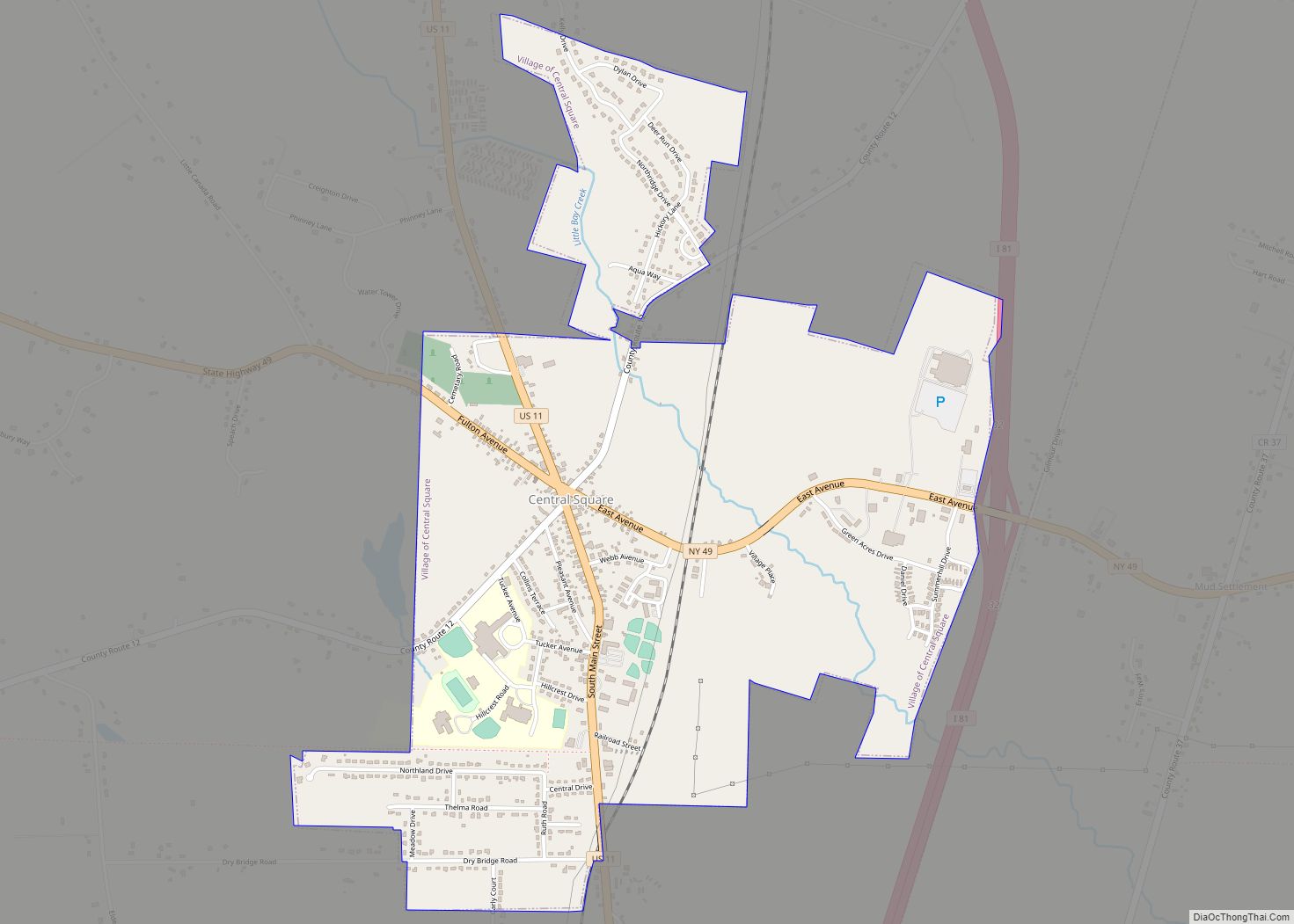
Central Square is a village in Oswego County, New York, United States. The population was 1,848 at the 2010 census.
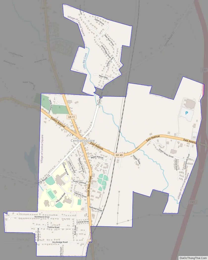
The Village of Central Square is located in the southern part of the Town of Hastings on Route 49 and U.S. Route 11. The village is west of Interstate 81. The village is northwest of Oneida Lake.
| Name: | Central Square village |
|---|---|
| LSAD Code: | 47 |
| LSAD Description: | village (suffix) |
| State: | New York |
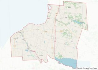
| County: | Oswego County |
| Elevation: | 449 ft (137 m) |
| Total Area: | 1.91 sq mi (4.94 km²) |
| Land Area: | 1.91 sq mi (4.94 km²) |
| Water Area: | 0.00 sq mi (0.00 km²) |
| Total Population: | 1,862 |
| Population Density: | 976.92/sq mi (377.14/km²) |
| ZIP code: | 13036 |
| Area code: | 315 |
| FIPS code: | 3613585 |
| GNISfeature ID: | 0946322 |
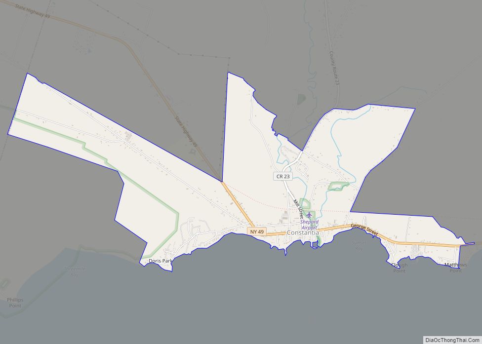
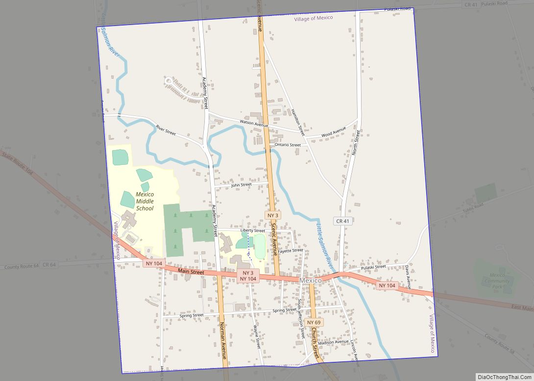
Online Interactive Map
Click on ![]() to view map in "full screen" mode.
to view map in "full screen" mode.
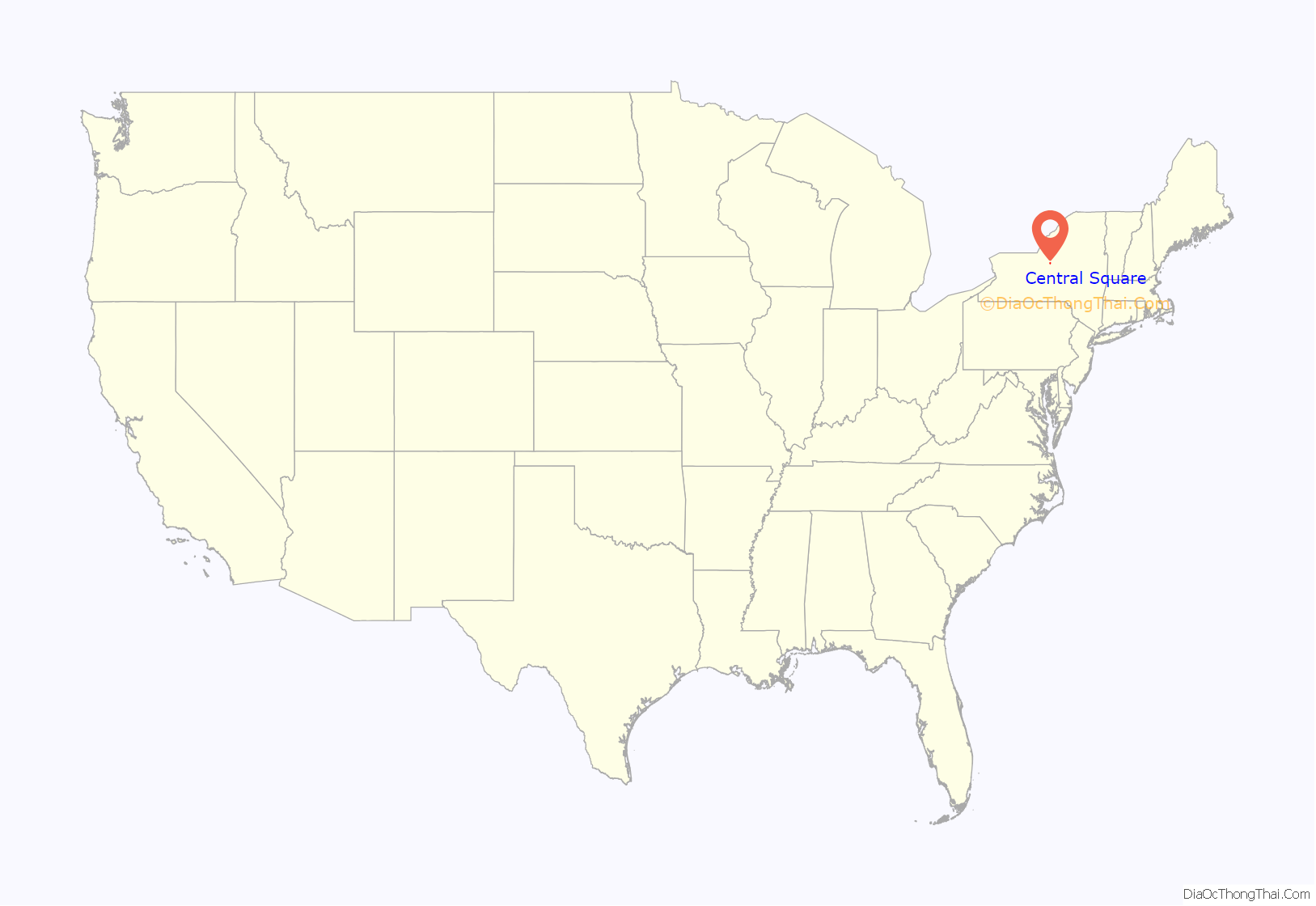
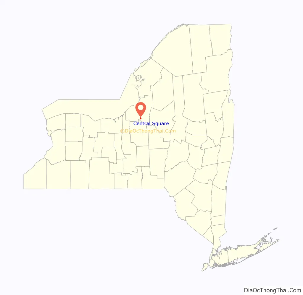
Central Square location map. Where is Central Square village?
History
The site was the crossing of Native American trails that became crossroads of the early settlers. Central Square was first called “Loomis Corners” after Chester Loomis, who built a hotel there. Later, the community also became a railroad junction.
The village was incorporated in 1890.
The central part of the village was devastated by a fire in 1929.
Central Square Road Map
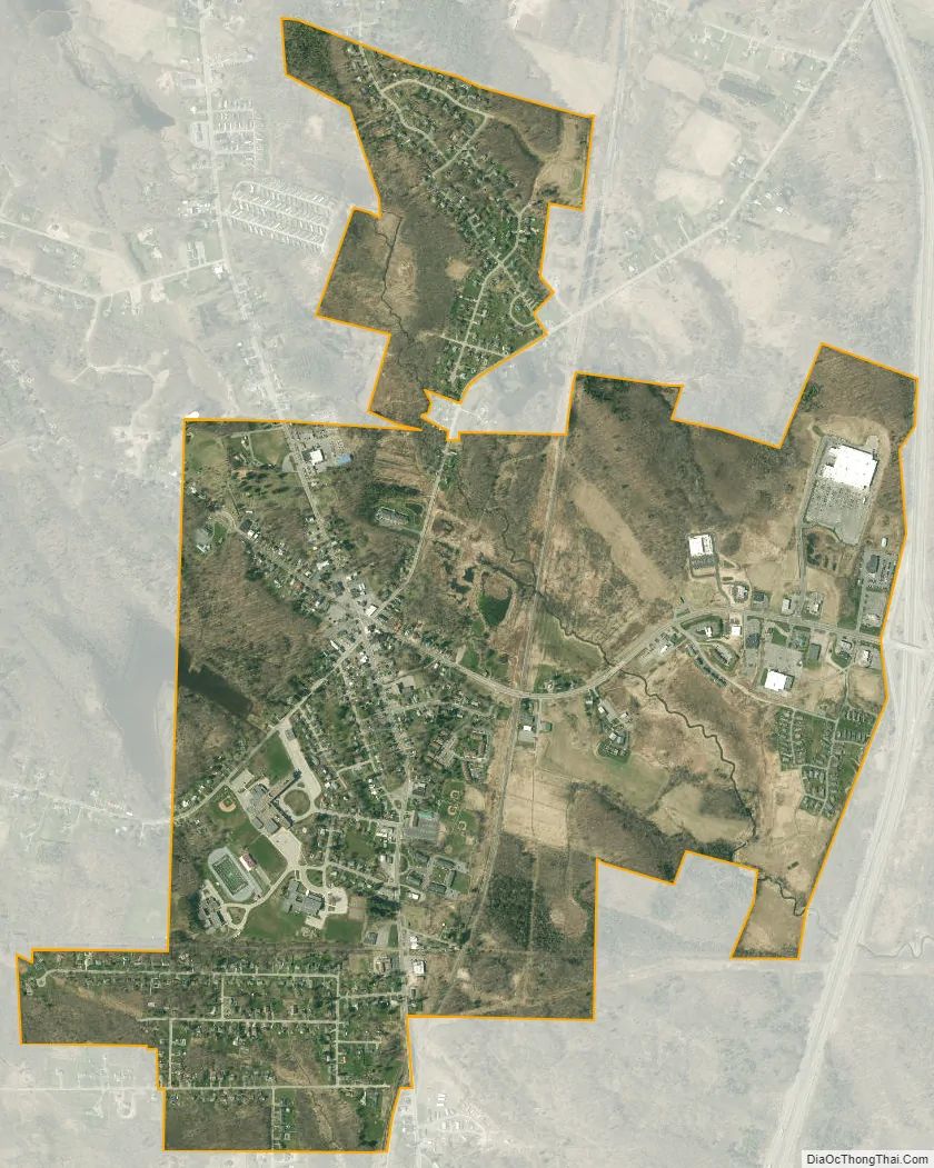
Central Square city Satellite Map
Geography
Central Square is located at 43°17′3″N 76°8′46″W / 43.28417°N 76.14611°W / 43.28417; -76.14611 (43.284082, -76.146004).
According to the United States Census Bureau, the village has a total area of 1.9 square miles (4.9 km), all land.
The Central Square School District is a part of the village of Central Square.
See also
Map of New York State and its subdivision:- Albany
- Allegany
- Bronx
- Broome
- Cattaraugus
- Cayuga
- Chautauqua
- Chemung
- Chenango
- Clinton
- Columbia
- Cortland
- Delaware
- Dutchess
- Erie
- Essex
- Franklin
- Fulton
- Genesee
- Greene
- Hamilton
- Herkimer
- Jefferson
- Kings
- Lake Ontario
- Lewis
- Livingston
- Madison
- Monroe
- Montgomery
- Nassau
- New York
- Niagara
- Oneida
- Onondaga
- Ontario
- Orange
- Orleans
- Oswego
- Otsego
- Putnam
- Queens
- Rensselaer
- Richmond
- Rockland
- Saint Lawrence
- Saratoga
- Schenectady
- Schoharie
- Schuyler
- Seneca
- Steuben
- Suffolk
- Sullivan
- Tioga
- Tompkins
- Ulster
- Warren
- Washington
- Wayne
- Westchester
- Wyoming
- Yates
- Alabama
- Alaska
- Arizona
- Arkansas
- California
- Colorado
- Connecticut
- Delaware
- District of Columbia
- Florida
- Georgia
- Hawaii
- Idaho
- Illinois
- Indiana
- Iowa
- Kansas
- Kentucky
- Louisiana
- Maine
- Maryland
- Massachusetts
- Michigan
- Minnesota
- Mississippi
- Missouri
- Montana
- Nebraska
- Nevada
- New Hampshire
- New Jersey
- New Mexico
- New York
- North Carolina
- North Dakota
- Ohio
- Oklahoma
- Oregon
- Pennsylvania
- Rhode Island
- South Carolina
- South Dakota
- Tennessee
- Texas
- Utah
- Vermont
- Virginia
- Washington
- West Virginia
- Wisconsin
- Wyoming