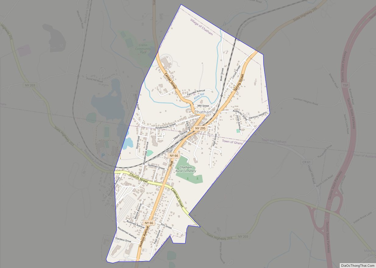
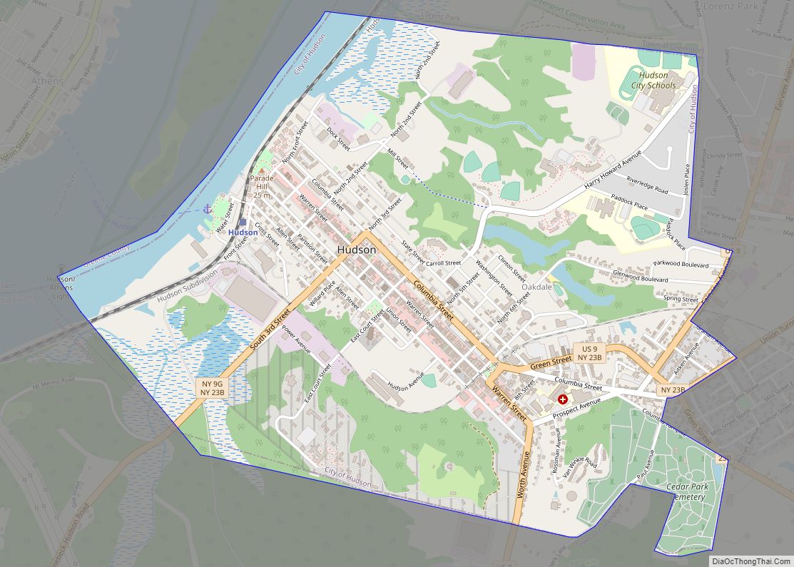
Chatham /ˈtʃætəm/ is a village in Columbia County, New York, United States. The population was 1,770 at the 2010 census.
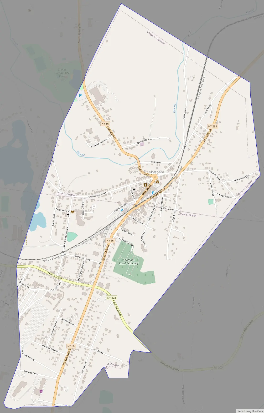
The village of Chatham is on the border between the towns of Chatham and Ghent. The village is at the junction of Routes 66 and 203.
| Name: | Chatham village |
|---|---|
| LSAD Code: | 47 |
| LSAD Description: | village (suffix) |
| State: | New York |
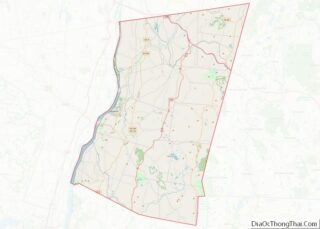
| County: | Columbia County |
| Elevation: | 463 ft (141 m) |
| Total Area: | 1.24 sq mi (3.21 km²) |
| Land Area: | 1.24 sq mi (3.20 km²) |
| Water Area: | 0.00 sq mi (0.01 km²) |
| Total Population: | 1,529 |
| Population Density: | 1,236.05/sq mi (477.29/km²) |
| ZIP code: | 12037 |
| Area code: | 518 |
| FIPS code: | 3614003 |
| GNISfeature ID: | 0946448 |
| Website: | villageofchatham.com |
Online Interactive Map
Click on ![]() to view map in "full screen" mode.
to view map in "full screen" mode.
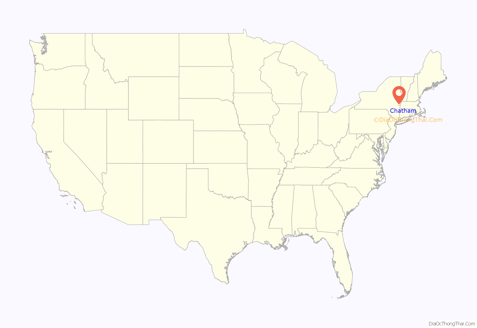
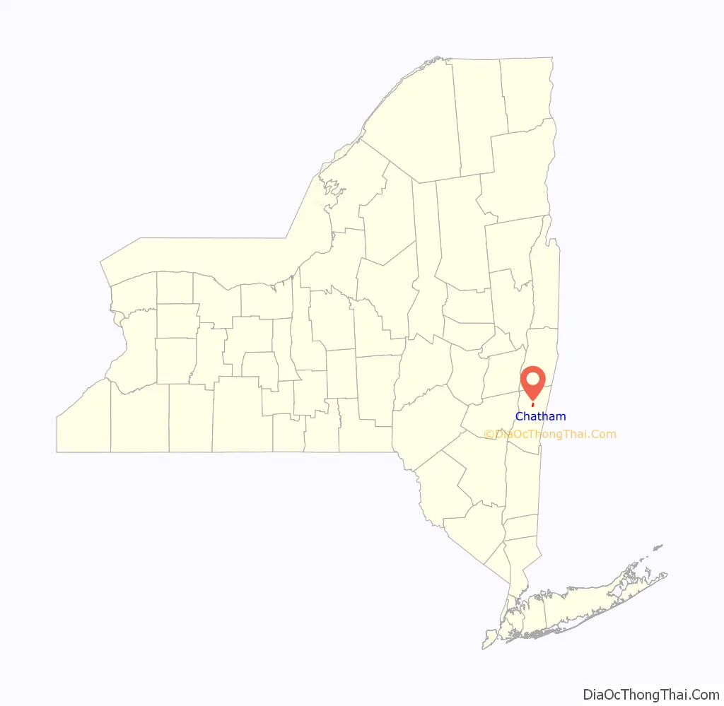
Chatham location map. Where is Chatham village?
History
The village was incorporated in 1869. Chatham was originally named Groats Corners. The village is the home of the 1814 Blinn-Pulver Farmhouse.
Chatham hosts a variety of attractions, such as the Crandell Theater, which shows many popular movies at very reasonable prices. The Mac-Hadyn Theater is a summer stock theater, active from May through September, that puts on Broadway-style shows. The famous stage and film actor Nathan Lane was part of their company at one time.
The Tracy Memorial Village Hall Complex and Union Station are listed on the National Register of Historic Places.
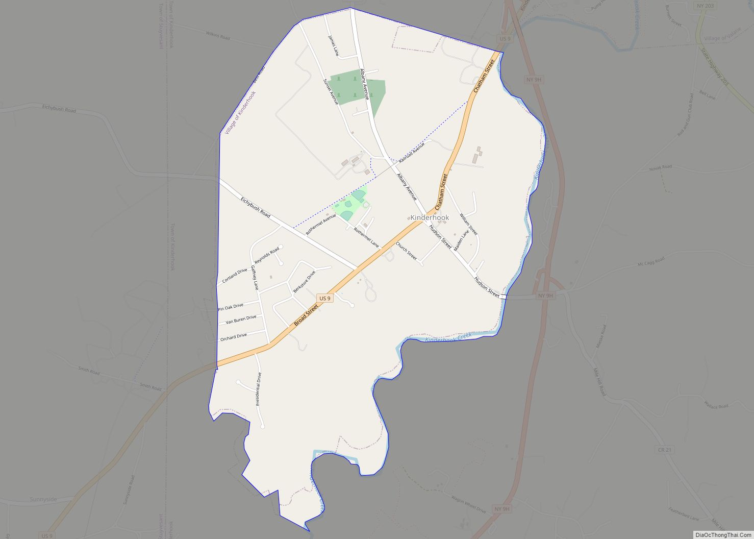
Chatham Road Map
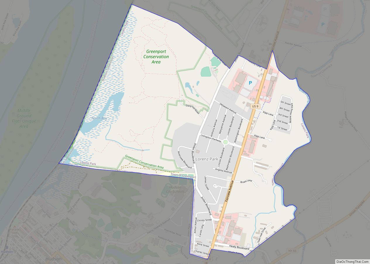
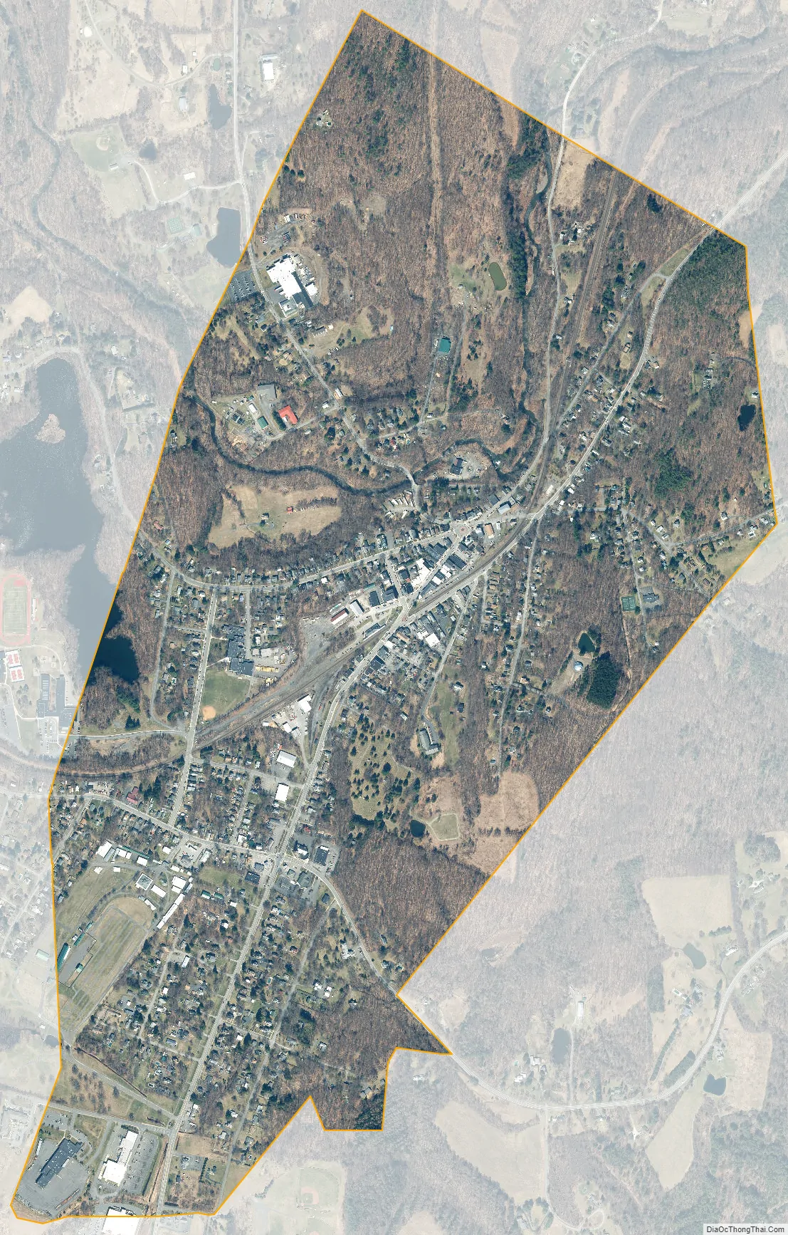
Chatham city Satellite Map
Geography
Chatham is located at 42°21′43″N 73°35′58″W / 42.36194°N 73.59944°W / 42.36194; -73.59944 (42.36207, -73.599686). The northern half of the village, and the central business area, is in the town of Chatham, while the southern half is in the town of Ghent.
According to the United States Census Bureau, the village has a total area of 1.2 square miles (3.2 km), of which 0.004 square miles (0.01 km), or 0.34%, is water. The village is located on Stony Kill, a waterway that makes a U-shaped bend through the village and flows north to Kinderhook Creek, a tributary of the Hudson River.
See also
Map of New York State and its subdivision:- Albany
- Allegany
- Bronx
- Broome
- Cattaraugus
- Cayuga
- Chautauqua
- Chemung
- Chenango
- Clinton
- Columbia
- Cortland
- Delaware
- Dutchess
- Erie
- Essex
- Franklin
- Fulton
- Genesee
- Greene
- Hamilton
- Herkimer
- Jefferson
- Kings
- Lake Ontario
- Lewis
- Livingston
- Madison
- Monroe
- Montgomery
- Nassau
- New York
- Niagara
- Oneida
- Onondaga
- Ontario
- Orange
- Orleans
- Oswego
- Otsego
- Putnam
- Queens
- Rensselaer
- Richmond
- Rockland
- Saint Lawrence
- Saratoga
- Schenectady
- Schoharie
- Schuyler
- Seneca
- Steuben
- Suffolk
- Sullivan
- Tioga
- Tompkins
- Ulster
- Warren
- Washington
- Wayne
- Westchester
- Wyoming
- Yates
- Alabama
- Alaska
- Arizona
- Arkansas
- California
- Colorado
- Connecticut
- Delaware
- District of Columbia
- Florida
- Georgia
- Hawaii
- Idaho
- Illinois
- Indiana
- Iowa
- Kansas
- Kentucky
- Louisiana
- Maine
- Maryland
- Massachusetts
- Michigan
- Minnesota
- Mississippi
- Missouri
- Montana
- Nebraska
- Nevada
- New Hampshire
- New Jersey
- New Mexico
- New York
- North Carolina
- North Dakota
- Ohio
- Oklahoma
- Oregon
- Pennsylvania
- Rhode Island
- South Carolina
- South Dakota
- Tennessee
- Texas
- Utah
- Vermont
- Virginia
- Washington
- West Virginia
- Wisconsin
- Wyoming