Churchville is a village in Monroe County, New York, United States. According to the 2010 census, the population was 1,961. The village is named after Samuel Church, an early settler.
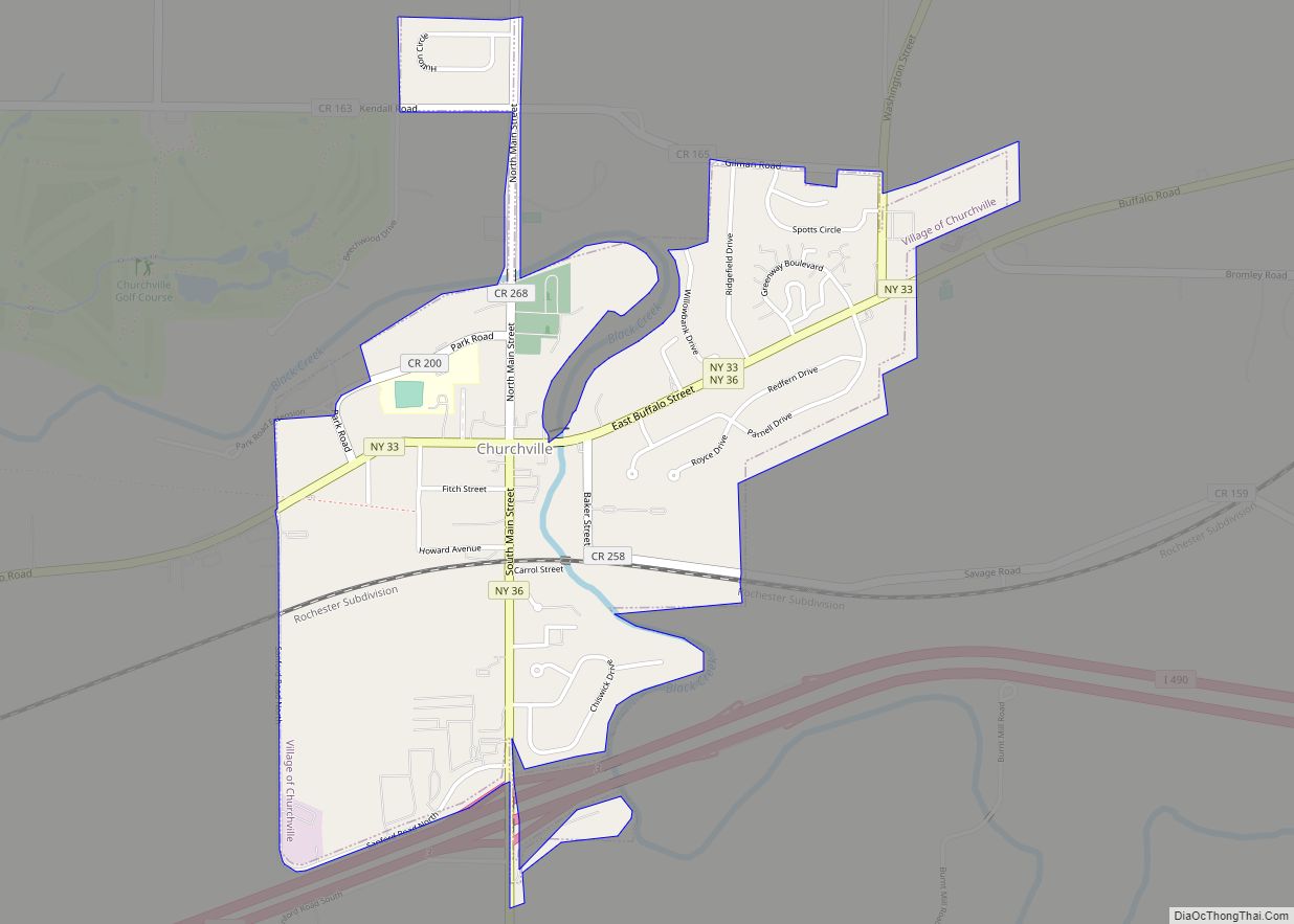
The Village of Churchville is west of the City of Rochester in the north part of the Town of Riga. It is at the intersection of Routes 33 and 36, north of Interstate 490.
Churchville Park and golf course are north of the village near Hutton Circle and Kendall Road.
| Name: | Churchville village |
|---|---|
| LSAD Code: | 47 |
| LSAD Description: | village (suffix) |
| State: | New York |
| County: | Monroe County |
| Incorporated: | March 7, 1855; 168 years ago (1855-03-07) |
| Elevation: | 577 ft (176 m) |
| Total Area: | 1.21 sq mi (3.13 km²) |
| Land Area: | 1.19 sq mi (3.08 km²) |
| Water Area: | 0.02 sq mi (0.05 km²) |
| Total Population: | 2,091 |
| Population Density: | 1,757.14/sq mi (678.17/km²) |
| ZIP code: | 14428 |
| Area code: | 585 |
| FIPS code: | 3615638 |
| Website: | http://www.churchville.net/ |
Online Interactive Map
Click on ![]() to view map in "full screen" mode.
to view map in "full screen" mode.
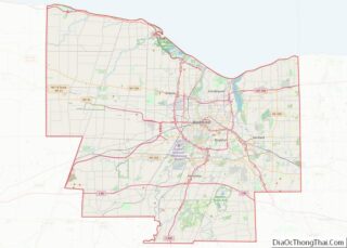
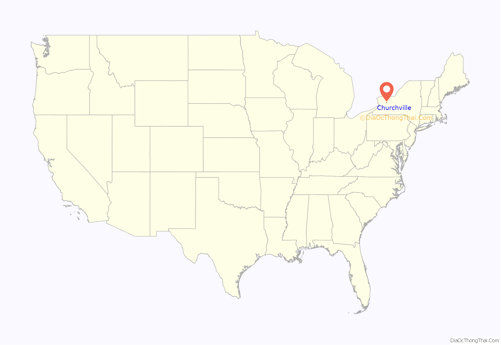
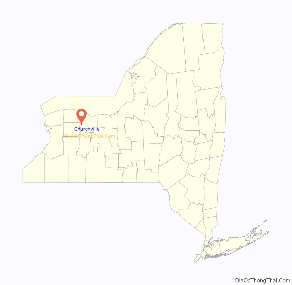
Churchville location map. Where is Churchville village?
History
In 1806, Samuel Church purchased the land that would become Churchville in what was known as West Pulteney. The village was incorporated on September 21, 1852 and named after Samuel Church, who owned all the land within the village limits.
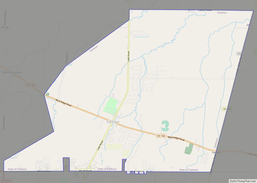
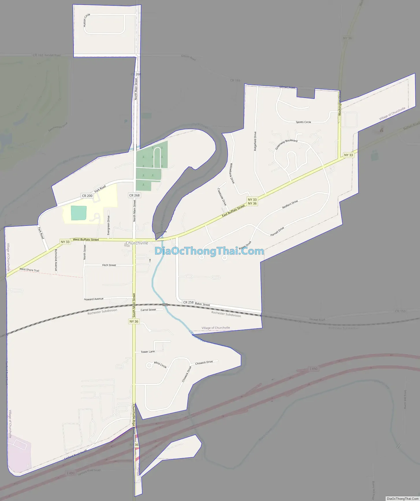
Churchville Road Map
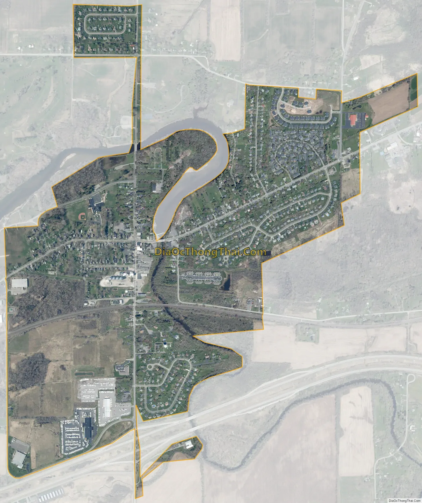
Churchville city Satellite Map
Geography
Churchville is at 43°6′20″N 77°52′50″W / 43.10556°N 77.88056°W / 43.10556; -77.88056 (43.105462, -77.880533).
According to the United States Census Bureau, the village has an area of 1.1 square miles (2.8 km).
See also
Map of New York State and its subdivision:- Albany
- Allegany
- Bronx
- Broome
- Cattaraugus
- Cayuga
- Chautauqua
- Chemung
- Chenango
- Clinton
- Columbia
- Cortland
- Delaware
- Dutchess
- Erie
- Essex
- Franklin
- Fulton
- Genesee
- Greene
- Hamilton
- Herkimer
- Jefferson
- Kings
- Lake Ontario
- Lewis
- Livingston
- Madison
- Monroe
- Montgomery
- Nassau
- New York
- Niagara
- Oneida
- Onondaga
- Ontario
- Orange
- Orleans
- Oswego
- Otsego
- Putnam
- Queens
- Rensselaer
- Richmond
- Rockland
- Saint Lawrence
- Saratoga
- Schenectady
- Schoharie
- Schuyler
- Seneca
- Steuben
- Suffolk
- Sullivan
- Tioga
- Tompkins
- Ulster
- Warren
- Washington
- Wayne
- Westchester
- Wyoming
- Yates
- Alabama
- Alaska
- Arizona
- Arkansas
- California
- Colorado
- Connecticut
- Delaware
- District of Columbia
- Florida
- Georgia
- Hawaii
- Idaho
- Illinois
- Indiana
- Iowa
- Kansas
- Kentucky
- Louisiana
- Maine
- Maryland
- Massachusetts
- Michigan
- Minnesota
- Mississippi
- Missouri
- Montana
- Nebraska
- Nevada
- New Hampshire
- New Jersey
- New Mexico
- New York
- North Carolina
- North Dakota
- Ohio
- Oklahoma
- Oregon
- Pennsylvania
- Rhode Island
- South Carolina
- South Dakota
- Tennessee
- Texas
- Utah
- Vermont
- Virginia
- Washington
- West Virginia
- Wisconsin
- Wyoming