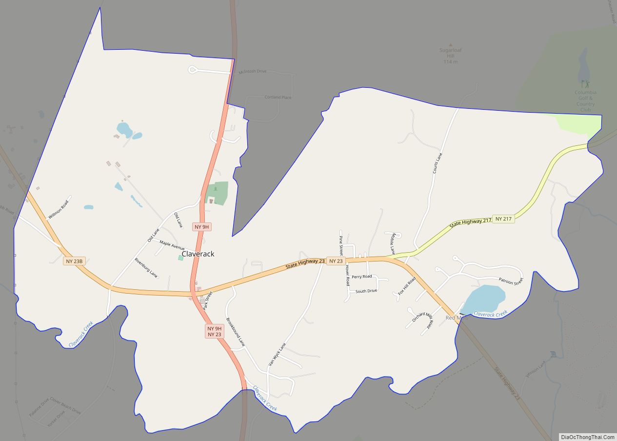
Claverack-Red Mills, commonly known as Claverack, is a census-designated place (CDP) in Columbia County, New York, United States. The population was 913 at the 2010 census.
The census region is in the western part of the town of Claverack and derives its name from the two hamlets of Claverack and Red Mills.
The community has a number of historic buildings, including the Harriet Phillips Bungalow. From 1779 to 1902, Claverack College operated in the village.
| Name: | Claverack-Red Mills CDP |
|---|---|
| LSAD Code: | 57 |
| LSAD Description: | CDP (suffix) |
| State: | New York |
| County: | Columbia County |
| Elevation: | 205 ft (62 m) |
| Total Area: | 3.03 sq mi (7.85 km²) |
| Land Area: | 3.01 sq mi (7.80 km²) |
| Water Area: | 0.02 sq mi (0.05 km²) |
| Total Population: | 953 |
| Population Density: | 316.30/sq mi (122.14/km²) |
| ZIP code: | 12513 (Claverack) |
| FIPS code: | 3616050 |
Online Interactive Map
Click on ![]() to view map in "full screen" mode.
to view map in "full screen" mode.
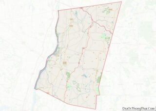
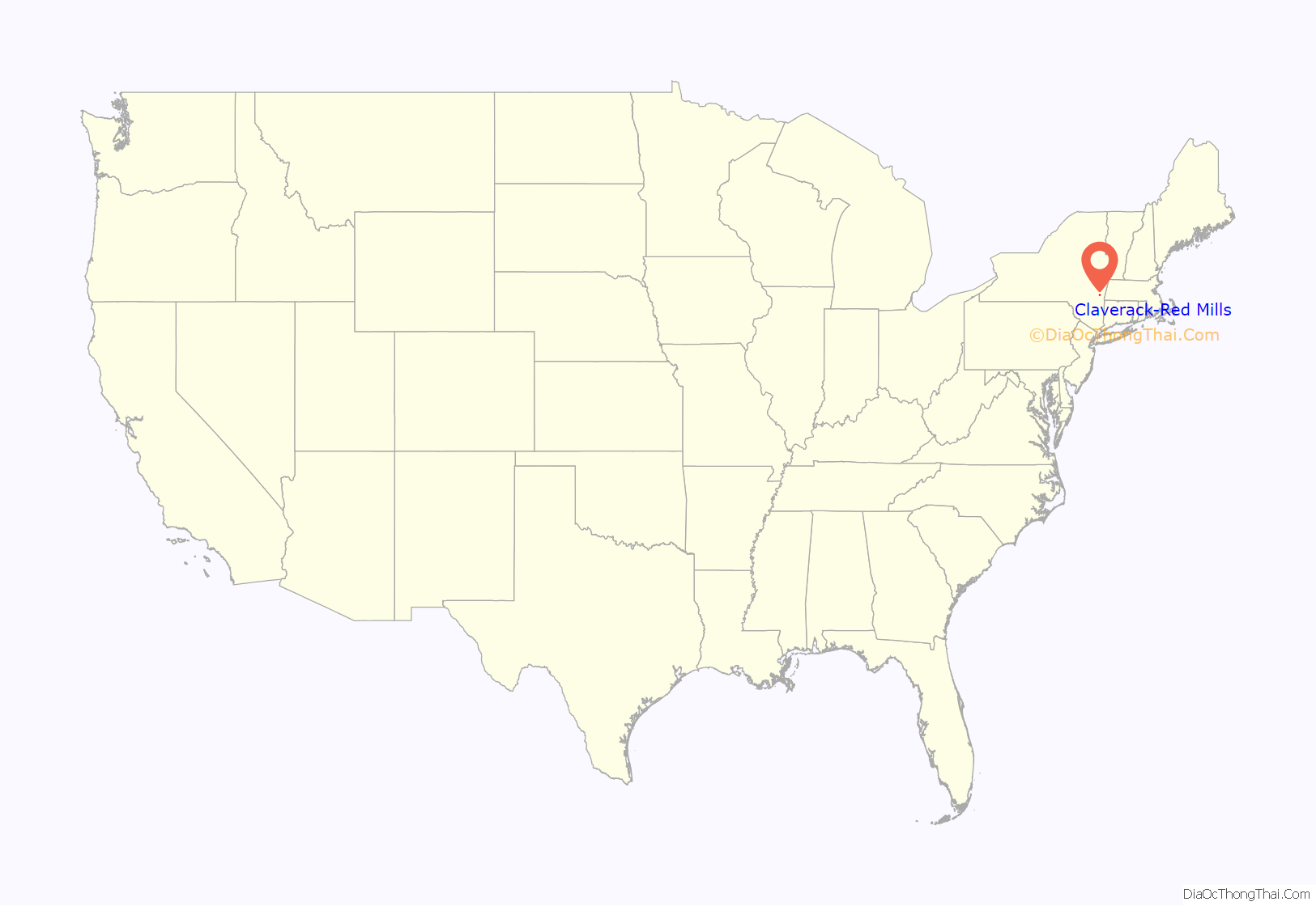
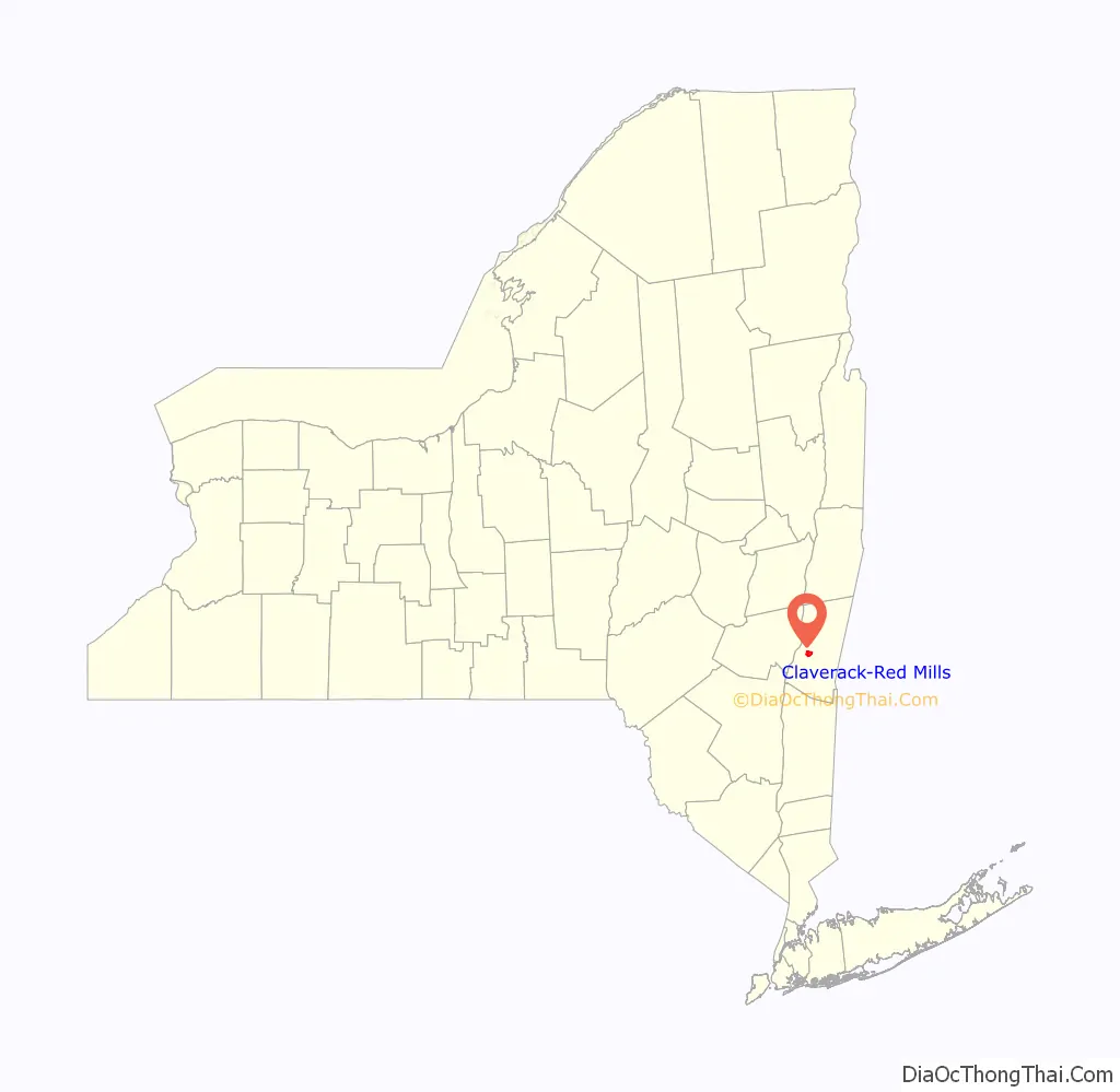
Claverack-Red Mills location map. Where is Claverack-Red Mills CDP?
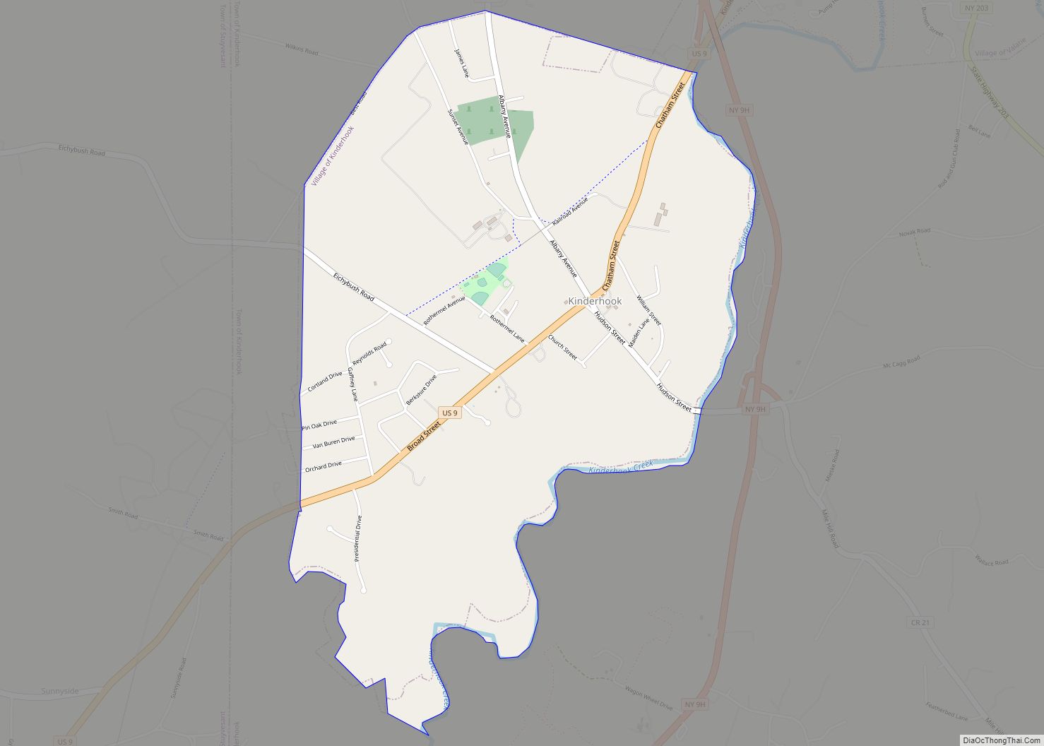
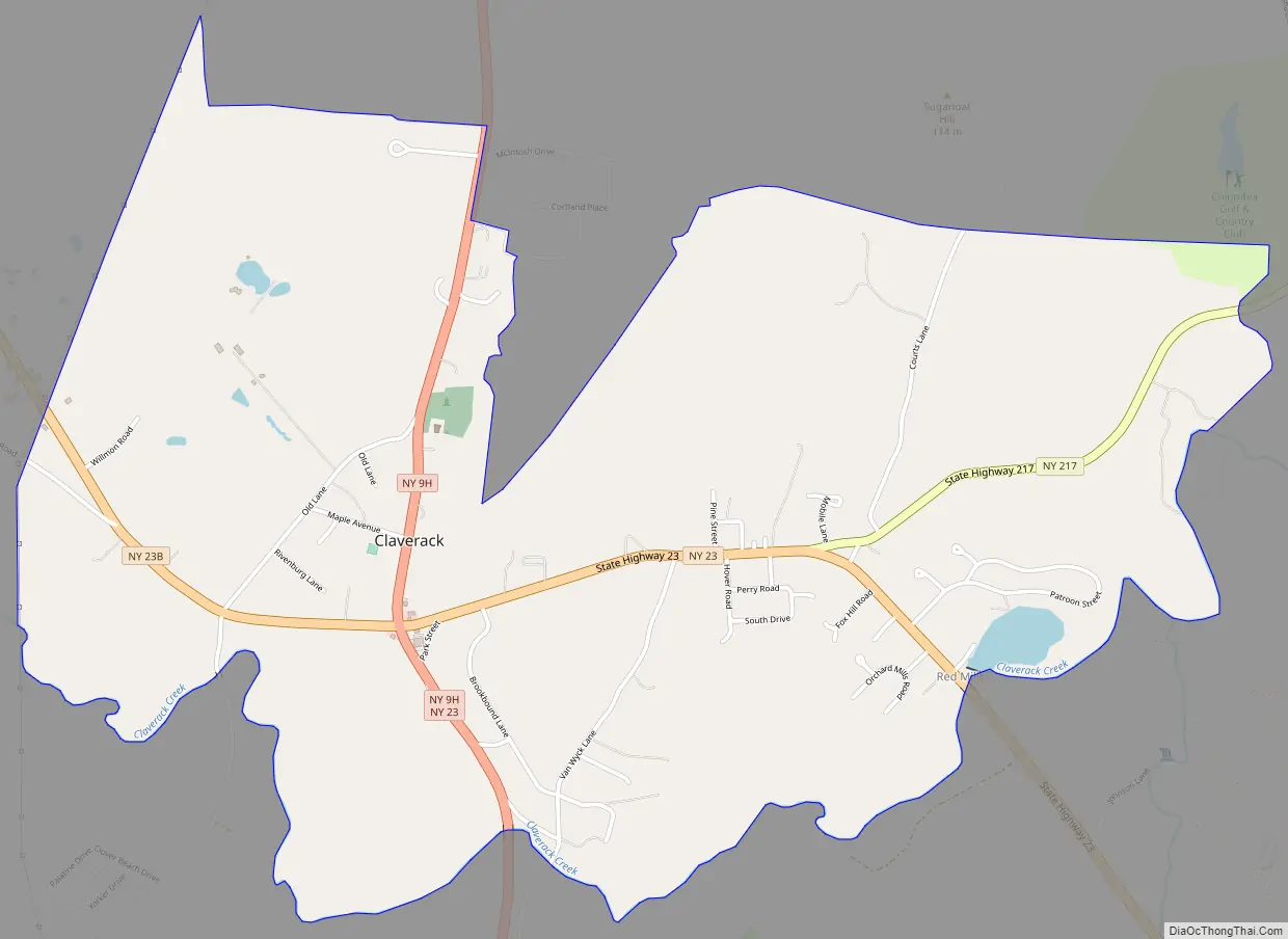
Claverack-Red Mills Road Map
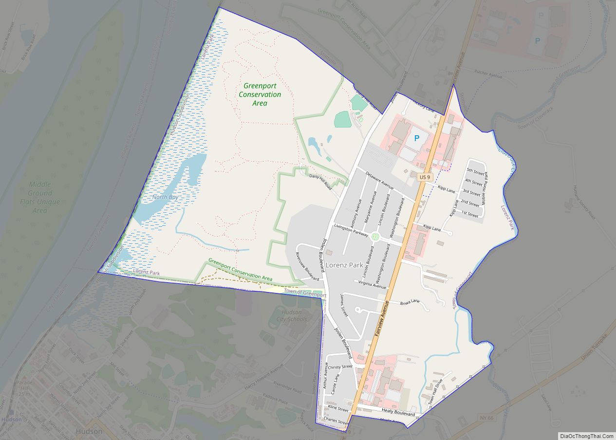
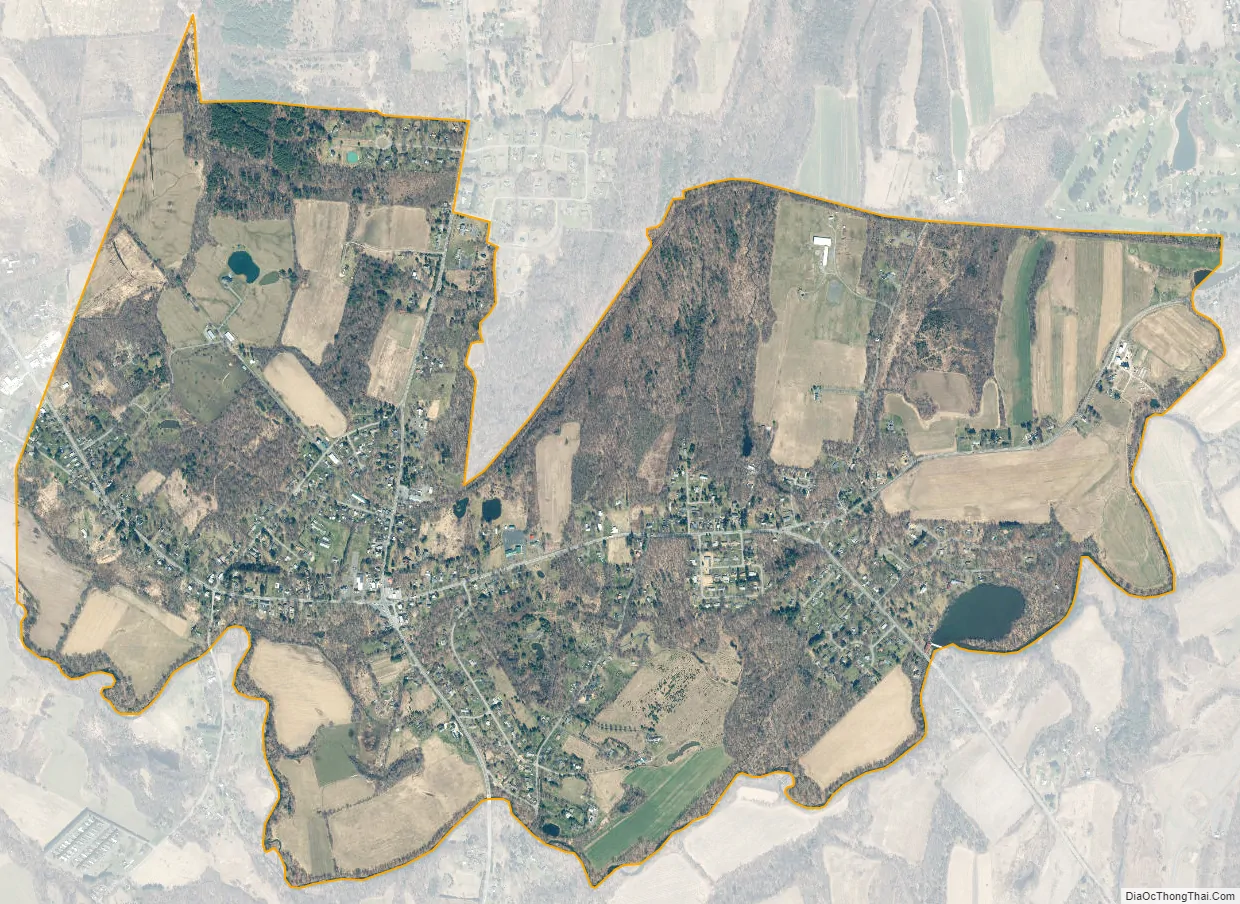
Claverack-Red Mills city Satellite Map
Geography
Claverack-Red Mills is located in the western part of the town of Claverack at 42°13′31″N 73°43′17″W / 42.22528°N 73.72139°W / 42.22528; -73.72139 (42.225214, -73.721449). The center of Claverack hamlet is at the intersection of New York State Routes 9H, 23, and 23B. NY 23B leads northwest 4 miles (6 km) to downtown Hudson, NY 9H leads north 13 miles (21 km) to Kinderhook, and NY 23 leads east 12 miles (19 km) to Hillsdale and 15 miles (24 km) to the Massachusetts border. Routes 9H and 23 combined lead south 4 miles (6 km) to U.S. Route 9 in the town of Livingston. The center of Red Mills is along NY 23, 1 mile (1.6 km) east of Claverack hamlet. From Red Mills, NY 217 leads northeast 4 miles (6 km) to Philmont.
According to the United States Census Bureau, the CDP has a total area of 3.0 square miles (7.8 km), of which 0.02 square miles (0.05 km), or 0.60%, is water. Claverack Creek, a tributary of the Hudson River, flows westward as the southern edge of the CDP, south of the centers of the two hamlets.
See also
Map of New York State and its subdivision:- Albany
- Allegany
- Bronx
- Broome
- Cattaraugus
- Cayuga
- Chautauqua
- Chemung
- Chenango
- Clinton
- Columbia
- Cortland
- Delaware
- Dutchess
- Erie
- Essex
- Franklin
- Fulton
- Genesee
- Greene
- Hamilton
- Herkimer
- Jefferson
- Kings
- Lake Ontario
- Lewis
- Livingston
- Madison
- Monroe
- Montgomery
- Nassau
- New York
- Niagara
- Oneida
- Onondaga
- Ontario
- Orange
- Orleans
- Oswego
- Otsego
- Putnam
- Queens
- Rensselaer
- Richmond
- Rockland
- Saint Lawrence
- Saratoga
- Schenectady
- Schoharie
- Schuyler
- Seneca
- Steuben
- Suffolk
- Sullivan
- Tioga
- Tompkins
- Ulster
- Warren
- Washington
- Wayne
- Westchester
- Wyoming
- Yates
- Alabama
- Alaska
- Arizona
- Arkansas
- California
- Colorado
- Connecticut
- Delaware
- District of Columbia
- Florida
- Georgia
- Hawaii
- Idaho
- Illinois
- Indiana
- Iowa
- Kansas
- Kentucky
- Louisiana
- Maine
- Maryland
- Massachusetts
- Michigan
- Minnesota
- Mississippi
- Missouri
- Montana
- Nebraska
- Nevada
- New Hampshire
- New Jersey
- New Mexico
- New York
- North Carolina
- North Dakota
- Ohio
- Oklahoma
- Oregon
- Pennsylvania
- Rhode Island
- South Carolina
- South Dakota
- Tennessee
- Texas
- Utah
- Vermont
- Virginia
- Washington
- West Virginia
- Wisconsin
- Wyoming