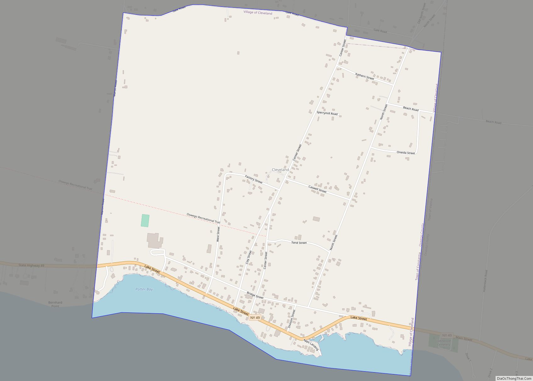
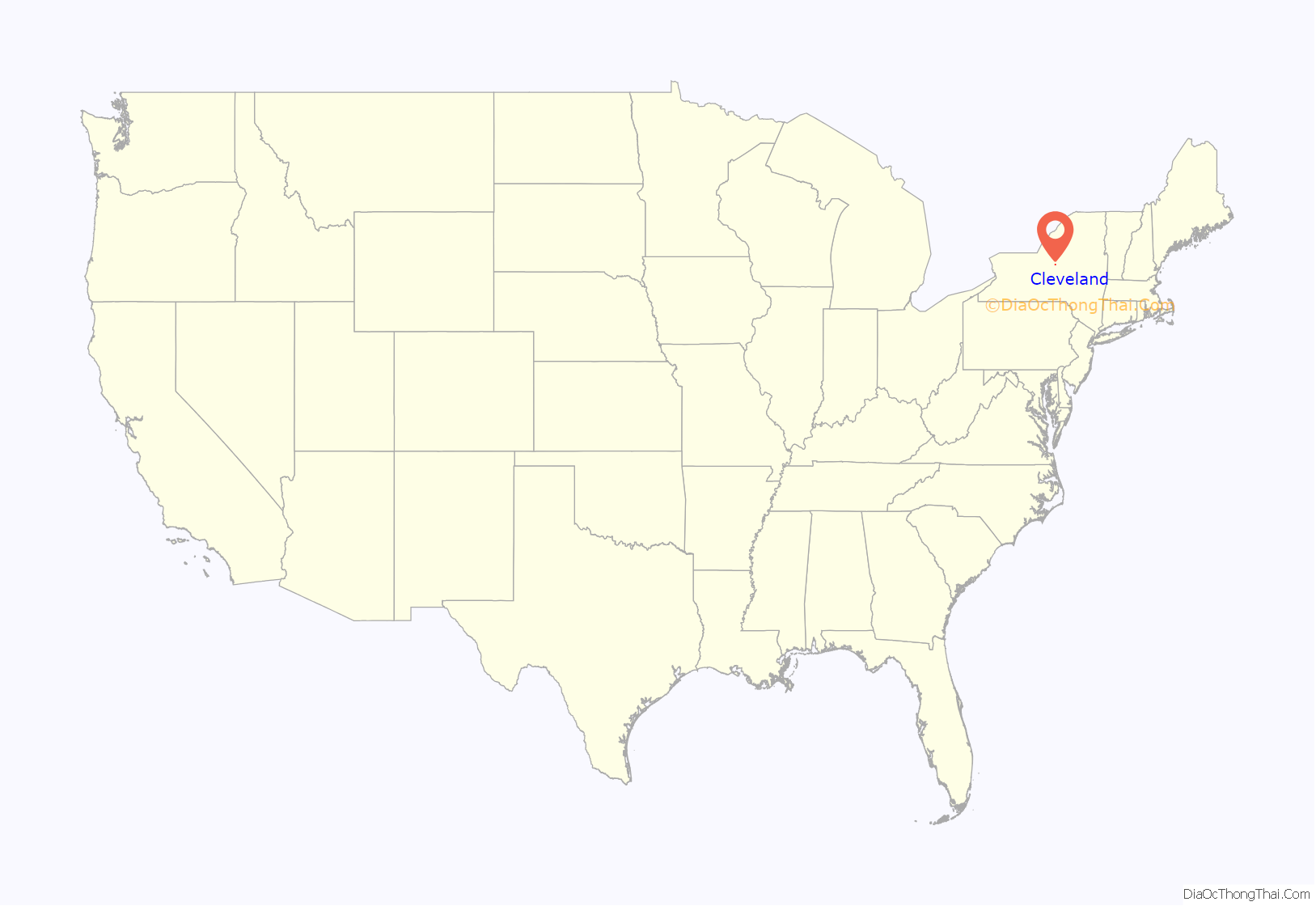
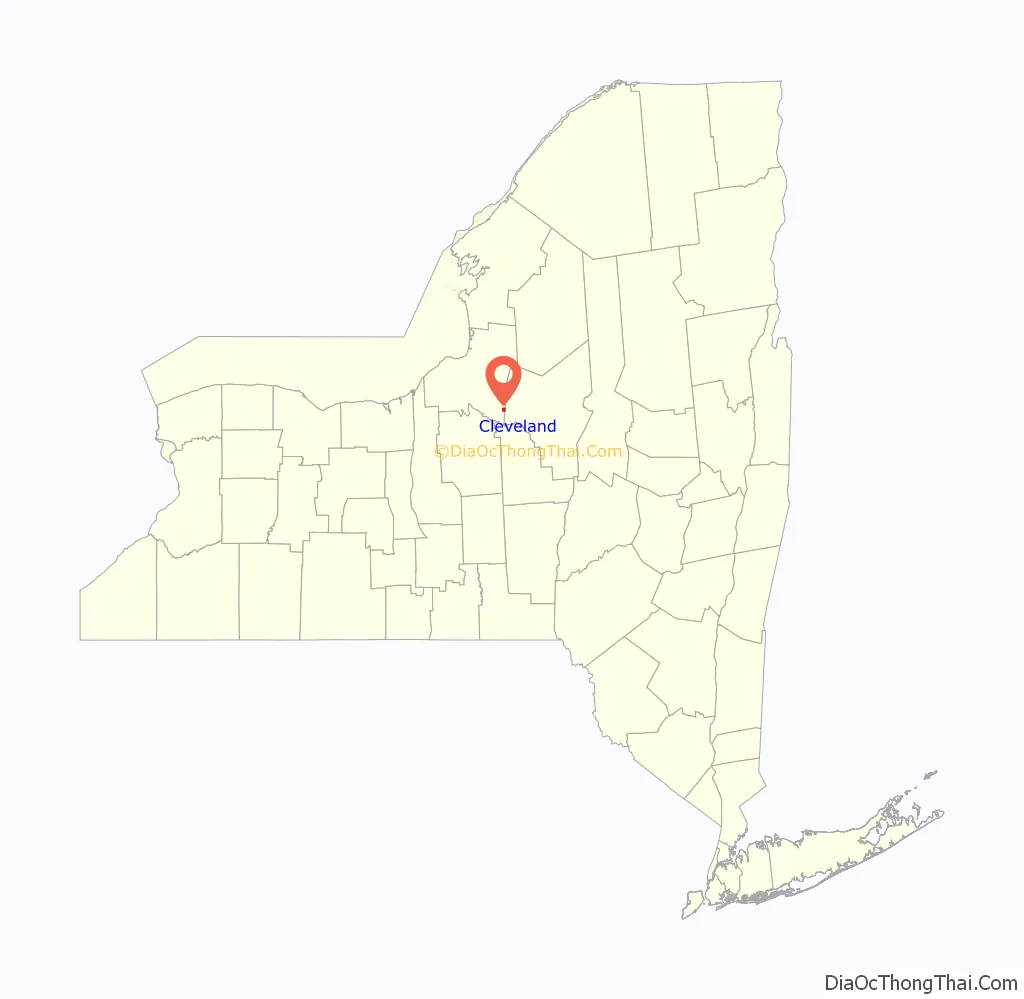
Cleveland is a village in Oswego County, New York, United States. The population was 750 at the 2010 census. The Village of Cleveland is located at the eastern boundary of the Town of Constantia on NY Route 49.
| Name: | Cleveland village |
|---|---|
| LSAD Code: | 47 |
| LSAD Description: | village (suffix) |
| State: | New York |
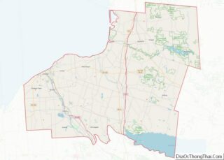
| County: | Oswego County |
| Elevation: | 436 ft (133 m) |
| Total Area: | 1.22 sq mi (3.17 km²) |
| Land Area: | 1.13 sq mi (2.93 km²) |
| Water Area: | 0.09 sq mi (0.24 km²) |
| Total Population: | 732 |
| Population Density: | 647.21/sq mi (249.80/km²) |
| ZIP code: | 13042 |
| Area code: | 315 |
| FIPS code: | 3616188 |
| GNISfeature ID: | 0946846 |
| Website: | www.villageofcleveland-ny.us |
Online Interactive Map
Click on ![]() to view map in "full screen" mode.
to view map in "full screen" mode.
Cleveland location map. Where is Cleveland village?
History
The Village of Cleveland was incorporated in 1857. Much of the 19th century industry was based on glass manufacturing from the Cleveland Glass Company and the Union Glass Company.
During its existence, the New York Ontario and Western Railway ran through Cleveland. Some say the town is named after Cleveland, England and other claim it is named after James Cleveland, an early settler.
In 2007, over one hundred village residents signed a petition to dissolve the village. The petition was rejected on technical grounds, but the village board formed a committee to study the implications of dissolution and alternatives, including increased efficiency via intermunicipal cooperation.
The St. James’ Church was listed on the National Register of Historic Places in 1996.
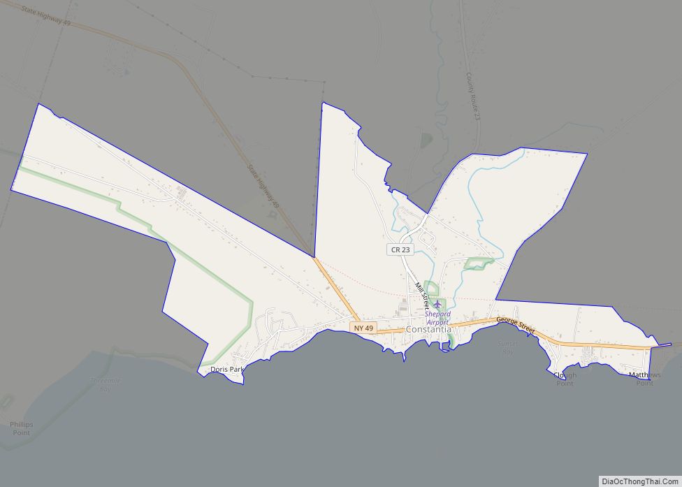
Cleveland Road Map
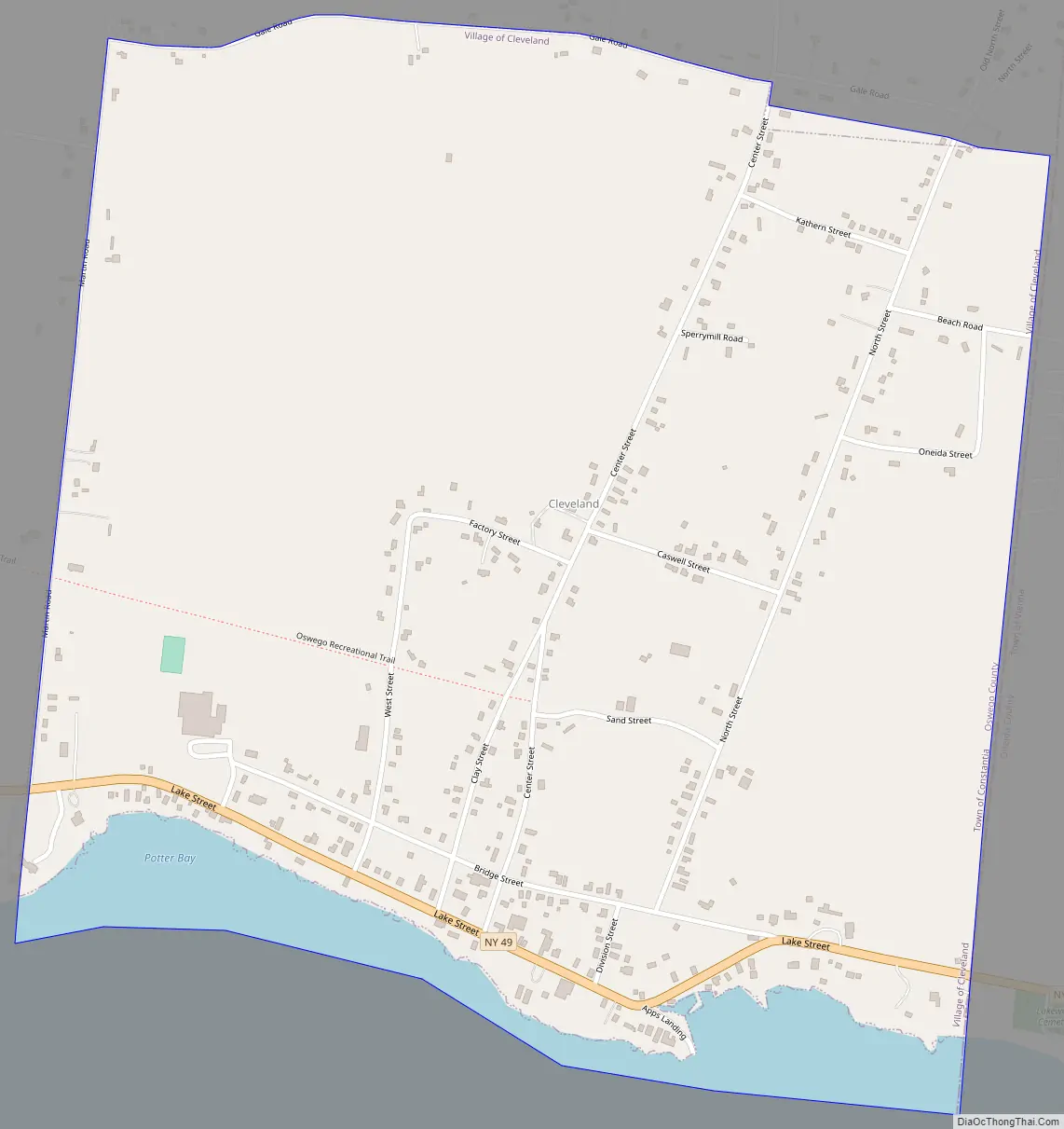
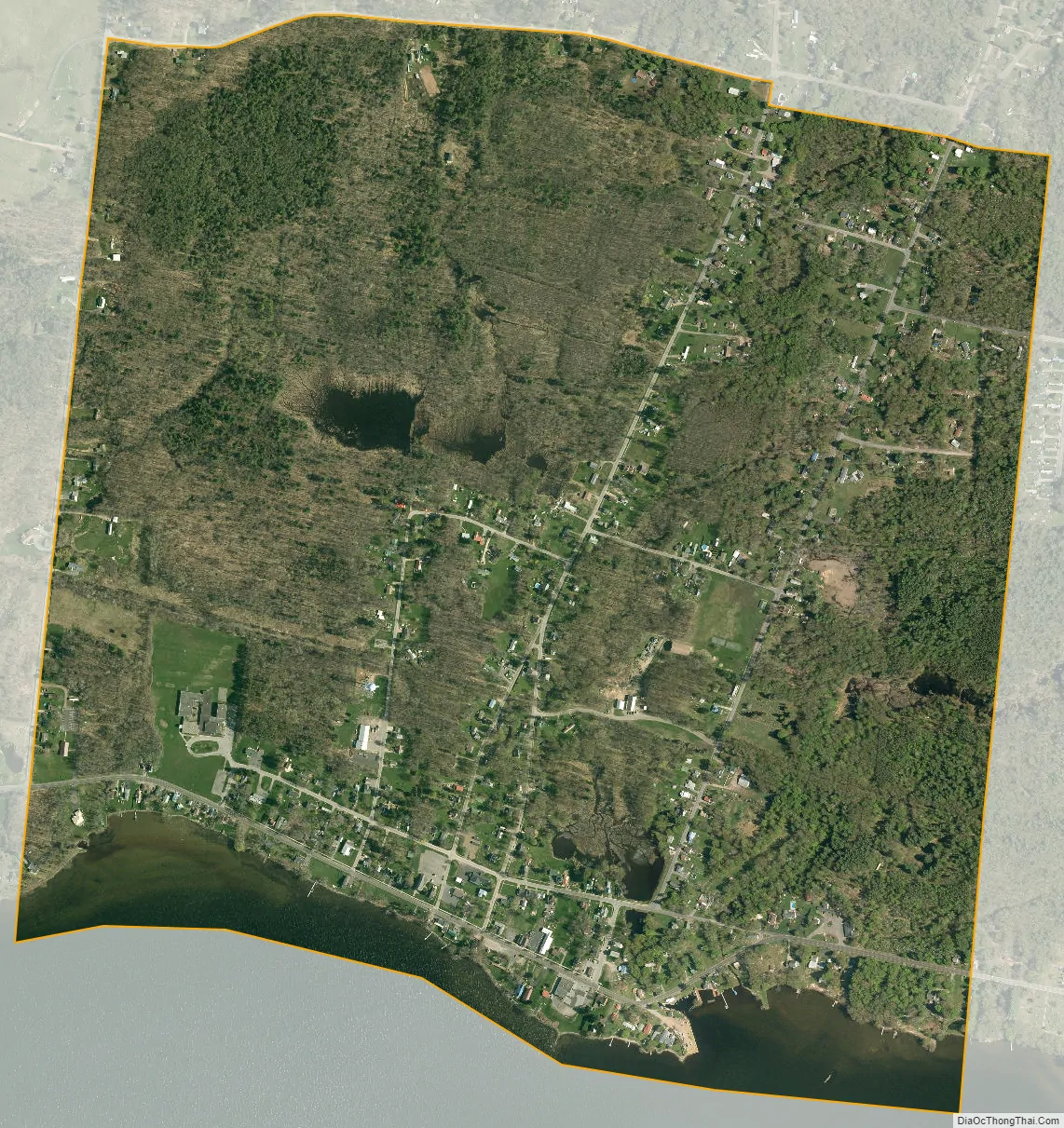
Cleveland city Satellite Map
Geography
Cleveland is located at 43°14′11″N 75°52′58″W / 43.23639°N 75.88278°W / 43.23639; -75.88278 (43.236502, -75.882705).
According to the United States Census Bureau, the village has a total area of 1.2 square miles (3.1 km), of which 1.1 square miles (2.8 km) is land and 0.1 square miles (0.26 km) (8.13%) is water.
The village is on the North Shore of Oneida Lake and on the border of Oneida County.
See also
Map of New York State and its subdivision:- Albany
- Allegany
- Bronx
- Broome
- Cattaraugus
- Cayuga
- Chautauqua
- Chemung
- Chenango
- Clinton
- Columbia
- Cortland
- Delaware
- Dutchess
- Erie
- Essex
- Franklin
- Fulton
- Genesee
- Greene
- Hamilton
- Herkimer
- Jefferson
- Kings
- Lake Ontario
- Lewis
- Livingston
- Madison
- Monroe
- Montgomery
- Nassau
- New York
- Niagara
- Oneida
- Onondaga
- Ontario
- Orange
- Orleans
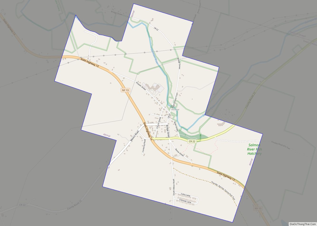
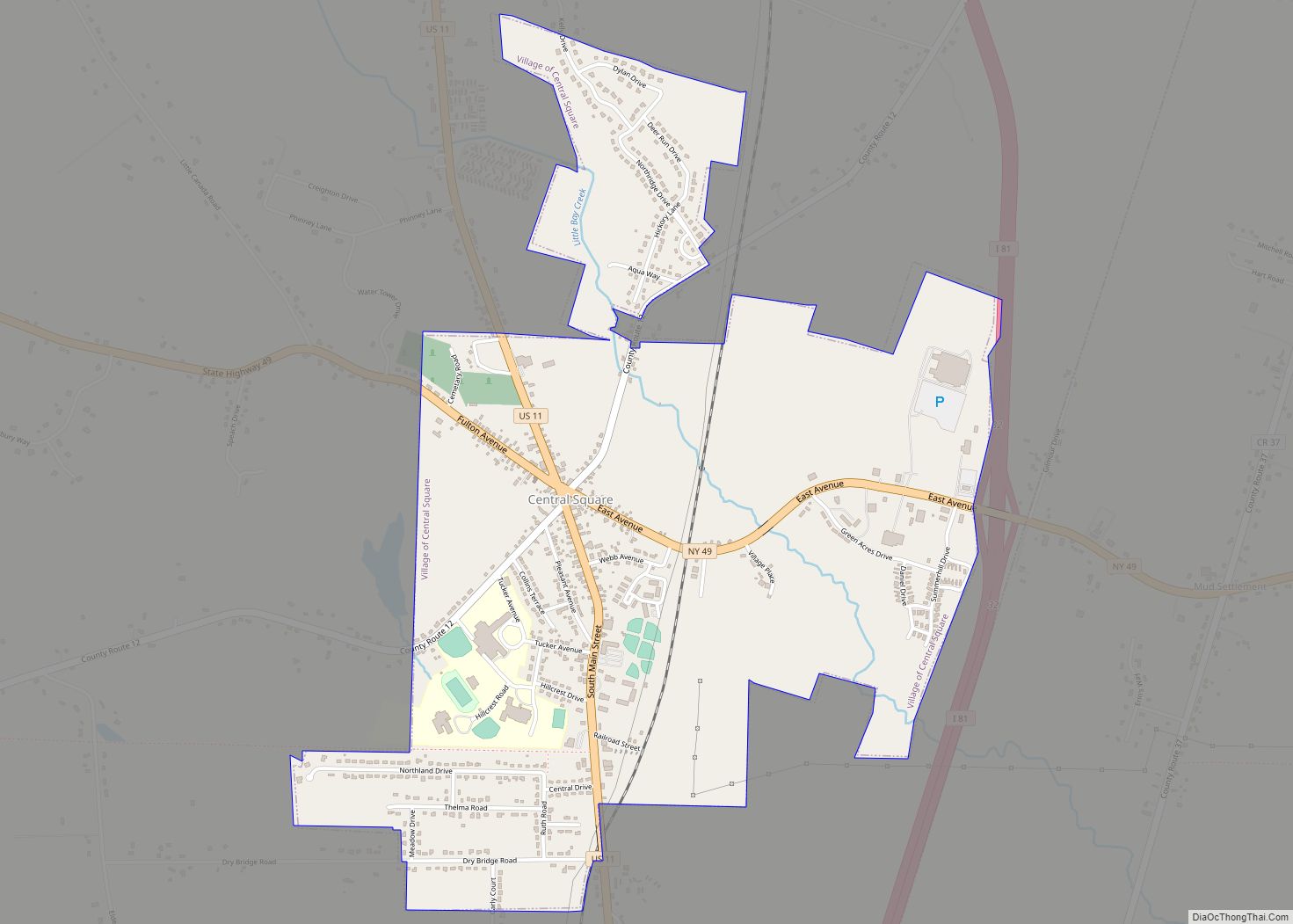
- Oswego
- Otsego
- Putnam
- Queens
- Rensselaer
- Richmond
- Rockland
- Saint Lawrence
- Saratoga
- Schenectady
- Schoharie
- Schuyler
- Seneca
- Steuben
- Suffolk
- Sullivan
- Tioga
- Tompkins
- Ulster
- Warren
- Washington
- Wayne
- Westchester
- Wyoming
- Yates
- Alabama
- Alaska
- Arizona
- Arkansas
- California
- Colorado
- Connecticut
- Delaware
- District of Columbia
- Florida
- Georgia
- Hawaii
- Idaho
- Illinois
- Indiana
- Iowa
- Kansas
- Kentucky
- Louisiana
- Maine
- Maryland
- Massachusetts
- Michigan
- Minnesota
- Mississippi
- Missouri
- Montana
- Nebraska
- Nevada
- New Hampshire
- New Jersey
- New Mexico
- New York
- North Carolina
- North Dakota
- Ohio
- Oklahoma
- Oregon
- Pennsylvania
- Rhode Island
- South Carolina
- South Dakota
- Tennessee
- Texas
- Utah
- Vermont
- Virginia
- Washington
- West Virginia
- Wisconsin
- Wyoming