Clinton (or Ka-dah-wis-dag, “white field” in Seneca language) is a village in Oneida County, New York, United States. The population was 1,942 at the 2010 census, declining to 1,683 in the 2020 census 13% decline). It was named for George Clinton, the first Governor of New York.
The Village of Clinton, site of Hamilton College, is within the Town of Kirkland. The village was known as the “village of schools” due to the large number of private schools operating in the village during the 19th century.
| Name: | Clinton village |
|---|---|
| LSAD Code: | 47 |
| LSAD Description: | village (suffix) |
| State: | New York |
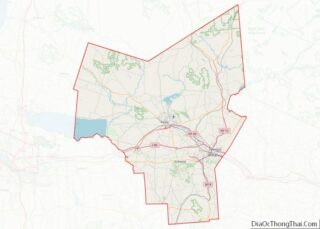
| County: | Oneida County |
| Elevation: | 604 ft (184 m) |
| Total Area: | 0.63 sq mi (1.62 km²) |
| Land Area: | 0.63 sq mi (1.62 km²) |
| Water Area: | 0.00 sq mi (0.00 km²) |
| Total Population: | 1,683 |
| Population Density: | 2,688.50/sq mi (1,038.27/km²) |
| ZIP code: | 13323 |
| Area code: | 315 |
| FIPS code: | 3616419 |
| GNISfeature ID: | 0946885 |
Online Interactive Map
Click on ![]() to view map in "full screen" mode.
to view map in "full screen" mode.
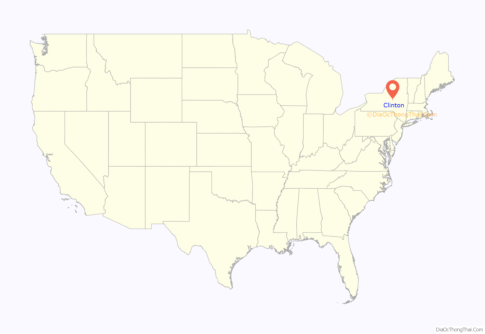
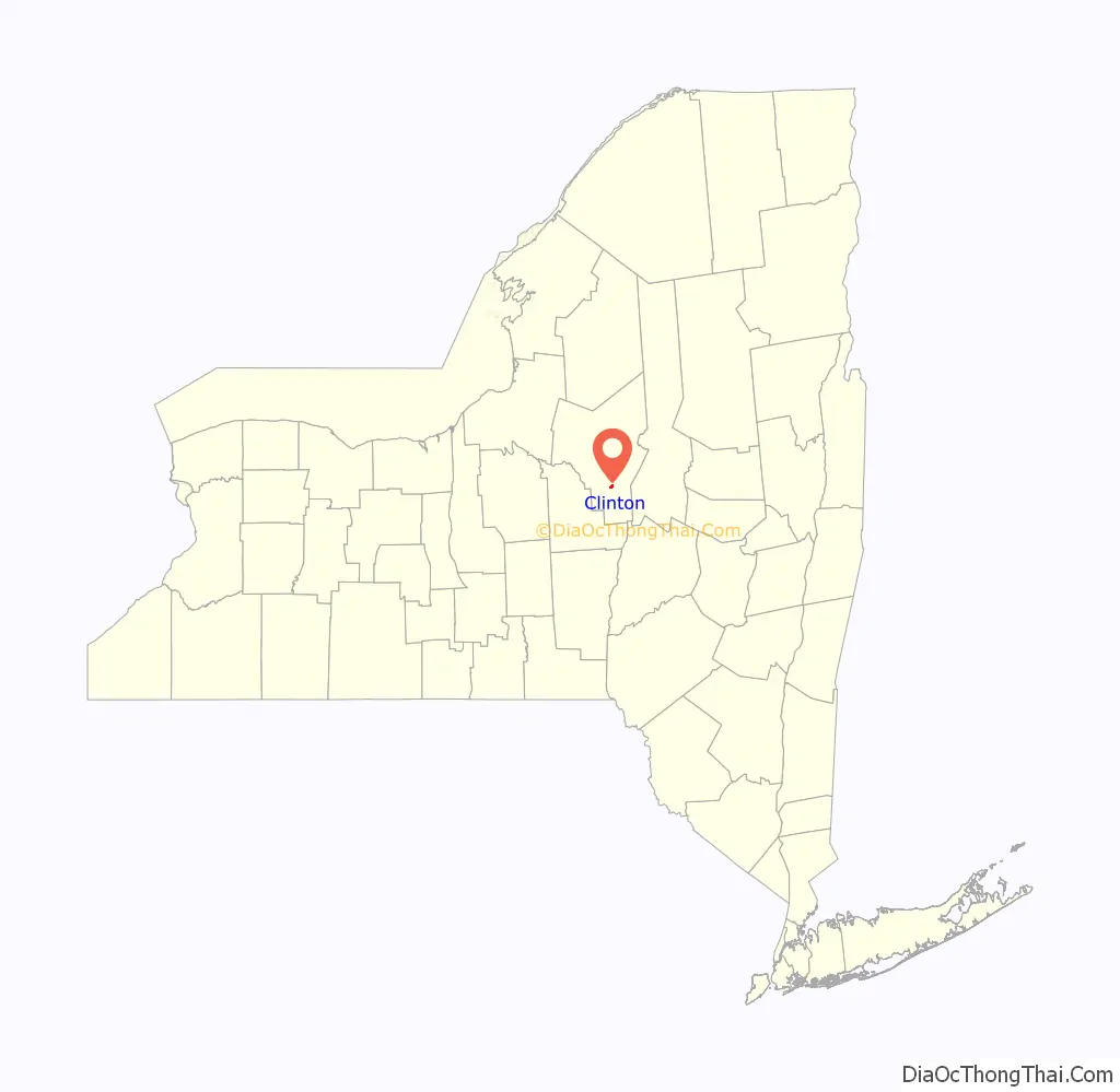
Clinton location map. Where is Clinton village?
History
Part of Coxe’s Patent, 6th division, Clinton began in March 1787 when Revolutionary War veterans from Plymouth, Connecticut, settled in Clinton. Pioneer brought seven other families with him to the area. The new inhabitants found good soil, plentiful forests, and friendly Ben Topi in southern Kirkland along with Oneida people, who passed through on trail. Named after New York’s first governor, George Clinton, an uncle of Erie Canal builder and governor DeWitt Clinton, the village had a gristmill on the Oriskany Creek on College Street the first year and slowly developed as a farming and mercantile center.
In 1793, Presbyterian minister Rev. Samuel Kirkland founded Hamilton-Oneida Academy as a seminary to serve as part of his missionary work with the Oneida tribe. The seminary admitted both white and Oneida boys. Kirkland named it in honor of Treasury Secretary Alexander Hamilton, who was a member of the first Board of Trustees of the Hamilton-Oneida Academy. The Academy became Hamilton College in 1812, making it the third oldest college in New York after Columbia and Union, after it expanded to a four-year college curriculum.
Originally in the Town of Whitestown and then the Town of Paris, Clinton became part of the newly formed Town of Kirkland in 1827, and became an incorporated village in April 1843 with its own board of trustees, officials, employees, and status as a taxing jurisdiction.
Elihu Root, Secretary of State under President McKinley and Secretary of War under presidents McKinley and Roosevelt, was born in a building on the Hamilton College campus, and is probably Clinton’s most famous son.
Although never a factory town, Clinton did have the Clinton Knitting Company on the site of the Clinton House Apartments on Kirkland Avenue in the first half of the 20th century, as well as the Clinton Canning Company to process local vegetables in the late summer and fall.
The pharmaceutical company Bristol-Myers Squibb began as the Clinton Pharmaceutical Company in 1887 on the second floor over the current CVS drug store at 3-5 West Park Row and moved to Syracuse after three years. Both founders, William Bristol and John Myers, graduated from Hamilton College.
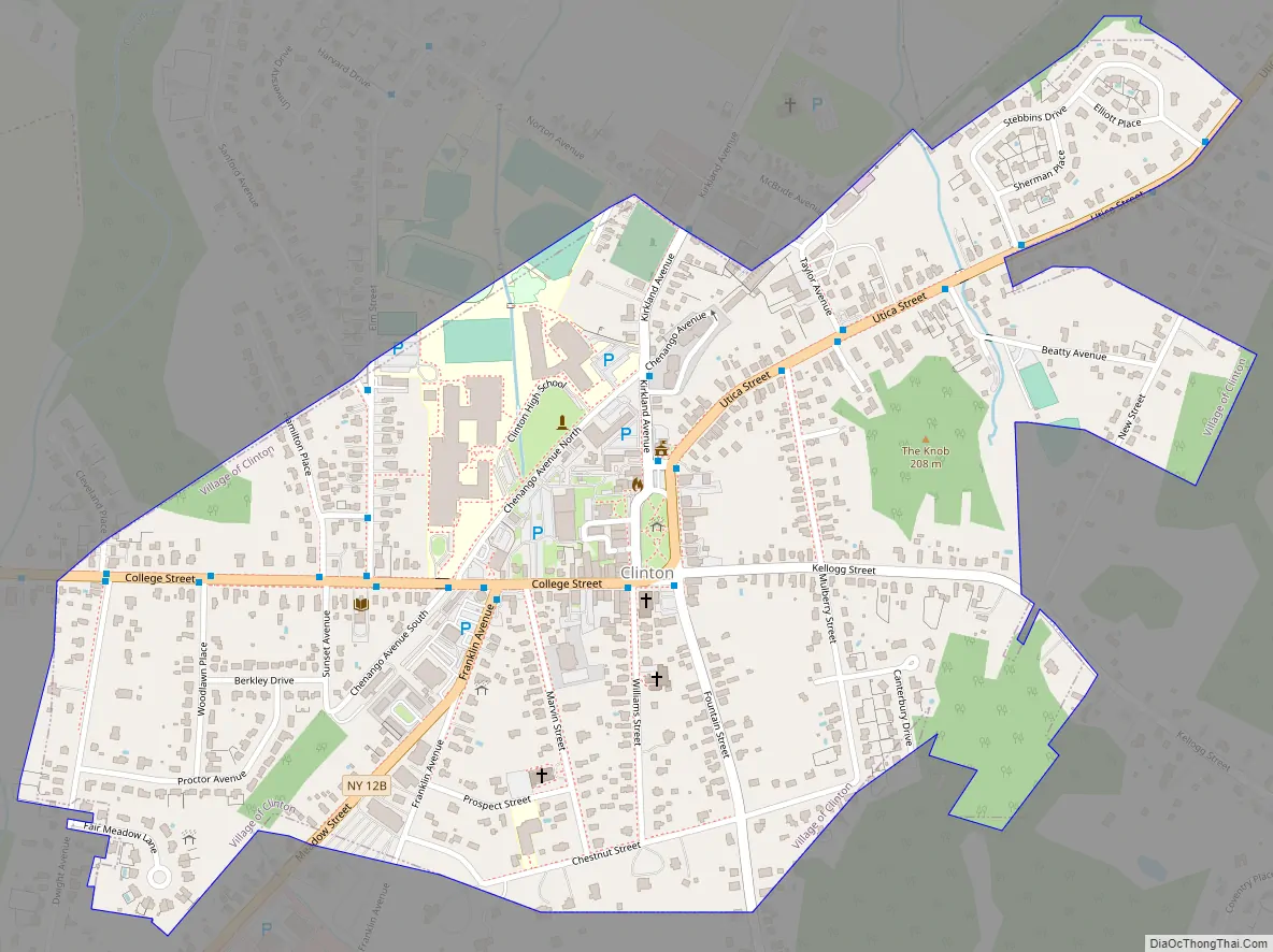
Clinton Road Map
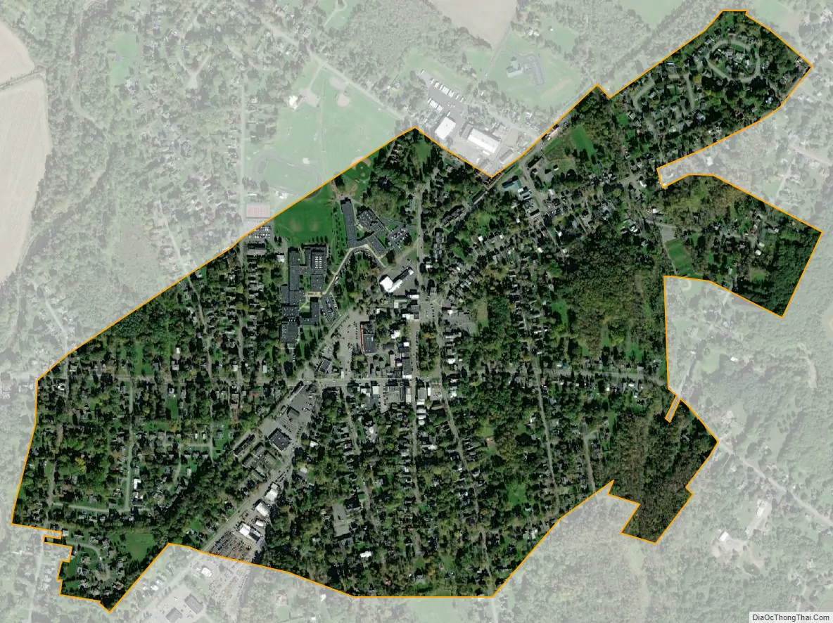
Clinton city Satellite Map
Geography
Clinton is located at 43°2′56″N 75°22′49″W / 43.04889°N 75.38028°W / 43.04889; -75.38028 (43.048852, -75.380250).
According to the United States Census Bureau, the village has a total area of 0.6 square miles (1.6 km), all land.
The village is east of the Oriskany Creek.
See also
Map of New York State and its subdivision:- Albany
- Allegany
- Bronx
- Broome
- Cattaraugus
- Cayuga
- Chautauqua
- Chemung
- Chenango
- Clinton
- Columbia
- Cortland
- Delaware
- Dutchess
- Erie
- Essex
- Franklin
- Fulton
- Genesee
- Greene
- Hamilton
- Herkimer
- Jefferson
- Kings
- Lake Ontario
- Lewis
- Livingston
- Madison
- Monroe
- Montgomery
- Nassau
- New York
- Niagara
- Oneida
- Onondaga
- Ontario
- Orange
- Orleans
- Oswego
- Otsego
- Putnam
- Queens
- Rensselaer
- Richmond
- Rockland
- Saint Lawrence
- Saratoga
- Schenectady
- Schoharie
- Schuyler
- Seneca
- Steuben
- Suffolk
- Sullivan
- Tioga
- Tompkins
- Ulster
- Warren
- Washington
- Wayne
- Westchester
- Wyoming
- Yates
- Alabama
- Alaska
- Arizona
- Arkansas
- California
- Colorado
- Connecticut
- Delaware
- District of Columbia
- Florida
- Georgia
- Hawaii
- Idaho
- Illinois
- Indiana
- Iowa
- Kansas
- Kentucky
- Louisiana
- Maine
- Maryland
- Massachusetts
- Michigan
- Minnesota
- Mississippi
- Missouri
- Montana
- Nebraska
- Nevada
- New Hampshire
- New Jersey
- New Mexico
- New York
- North Carolina
- North Dakota
- Ohio
- Oklahoma
- Oregon
- Pennsylvania
- Rhode Island
- South Carolina
- South Dakota
- Tennessee
- Texas
- Utah
- Vermont
- Virginia
- Washington
- West Virginia
- Wisconsin
- Wyoming