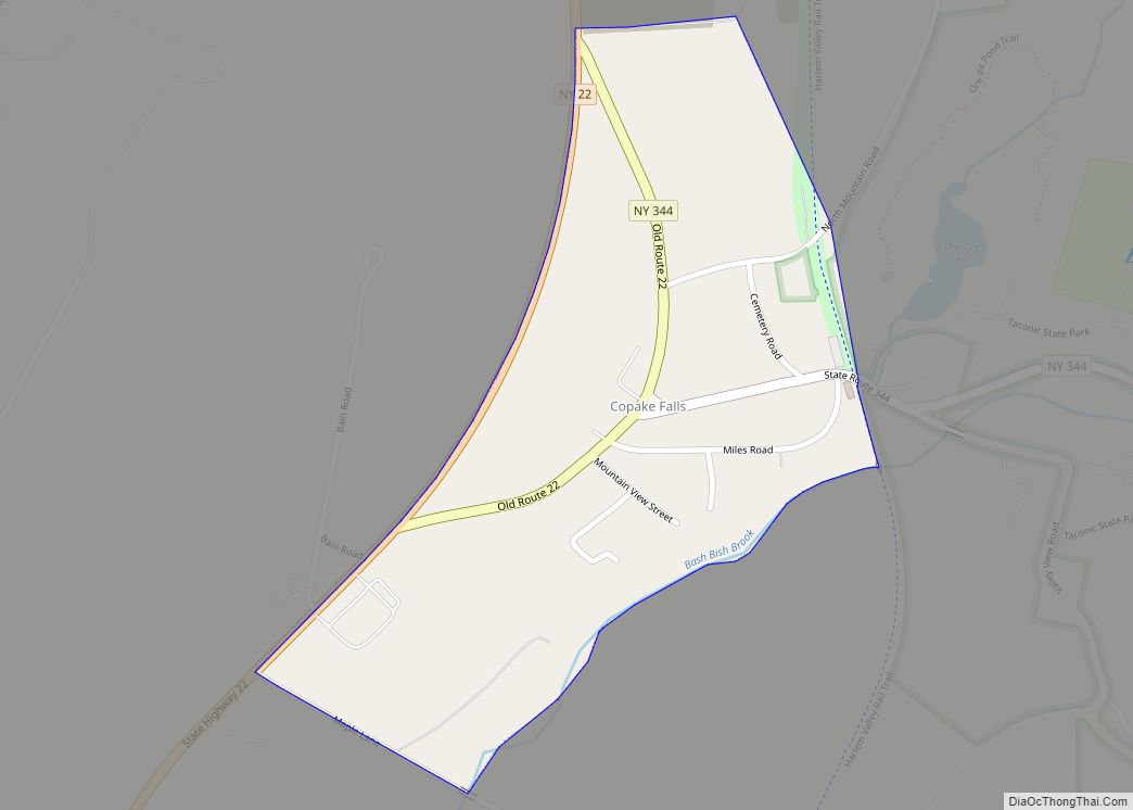
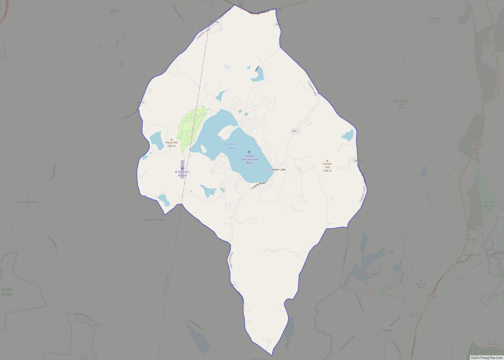
Copake Falls is a hamlet and census-designated place (CDP) in Columbia County, New York, United States. The hamlet, once known as Copake Iron Works, is in the eastern part of the town of Copake, 1.5 miles (2.4 km) west of the Massachusetts state line. The CDP was designated after the 2010 census, so no population figure is yet available.
The former Copake Falls Methodist Episcopal Church was added to the National Register of Historic Places in 2012.
| Name: | Copake Falls CDP |
|---|---|
| LSAD Code: | 57 |
| LSAD Description: | CDP (suffix) |
| State: | New York |
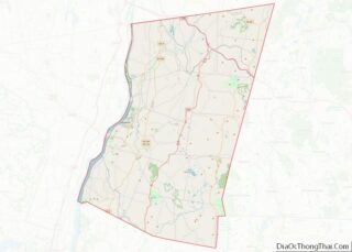
| County: | Columbia County |
| Elevation: | 650 ft (200 m) |
| Total Area: | 0.22 sq mi (0.58 km²) |
| Land Area: | 0.22 sq mi (0.58 km²) |
| Water Area: | 0.00 sq mi (0.00 km²) |
| Total Population: | 181 |
| Population Density: | 808.04/sq mi (312.16/km²) |
| ZIP code: | 12517 |
| FIPS code: | 3618113 |
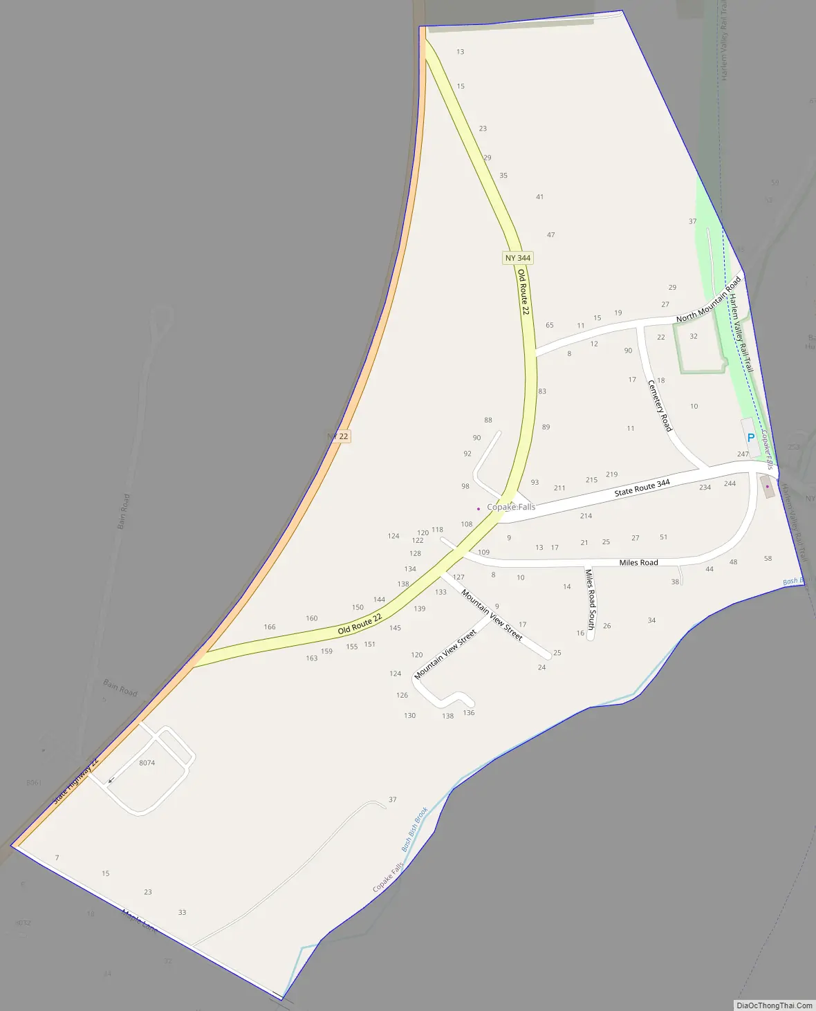
Online Interactive Map
Click on ![]() to view map in "full screen" mode.
to view map in "full screen" mode.
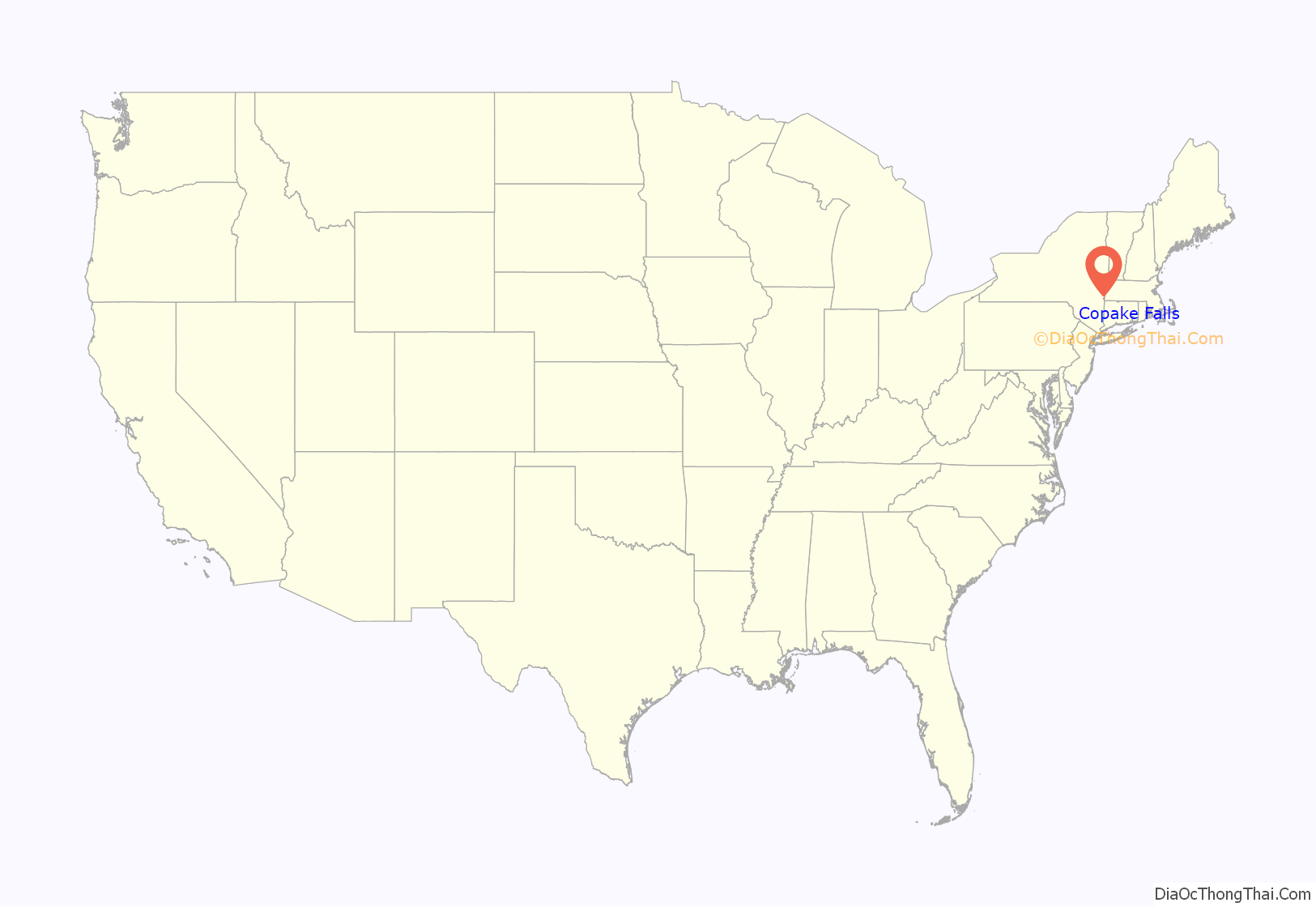
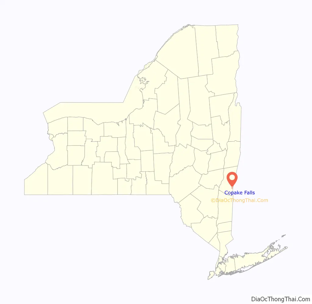
Copake Falls location map. Where is Copake Falls CDP?
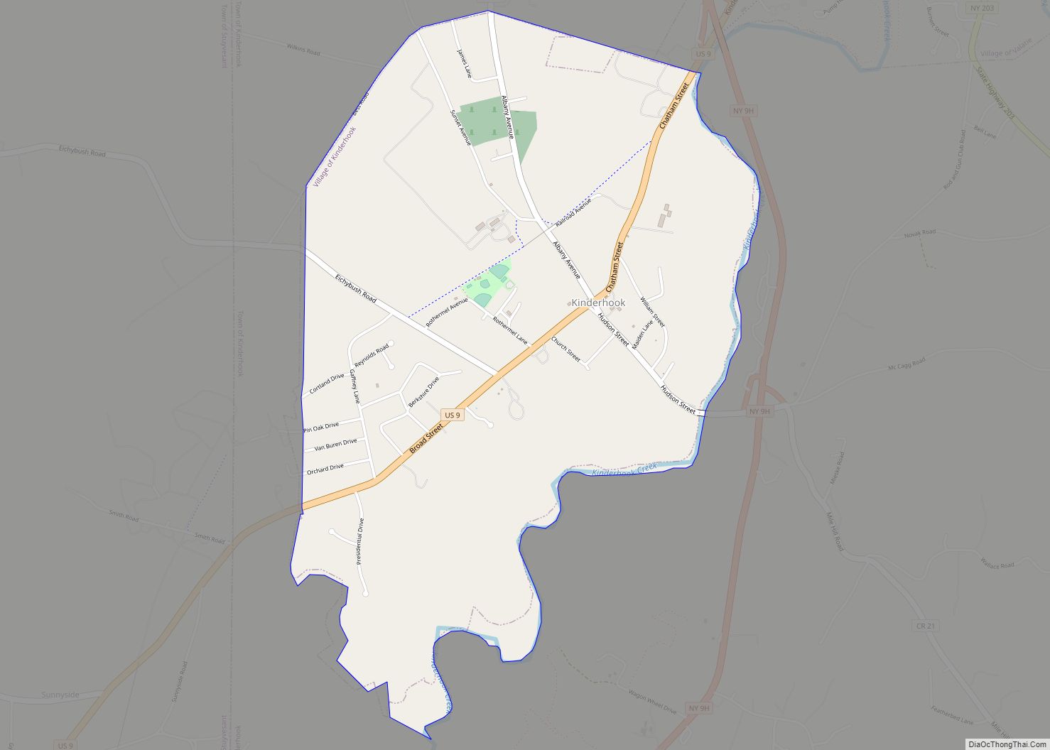
Copake Falls Road Map
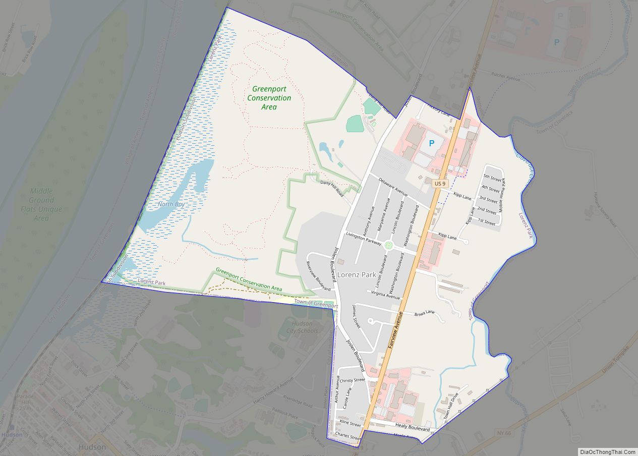
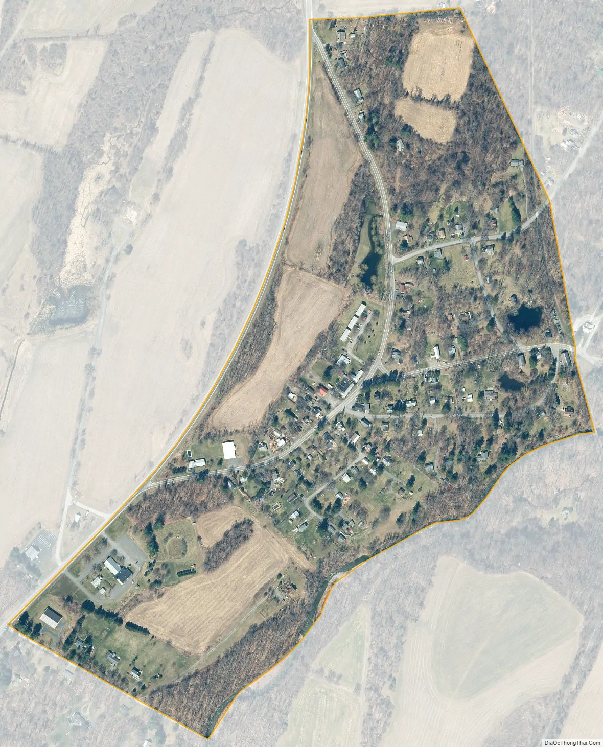
Copake Falls city Satellite Map
Geography
Copake Falls is located along Bashbish Brook at the western foot of the Taconic Mountains, a range that runs along the New York-Massachusetts border. The Copake Falls area of Taconic State Park, with campsites and hiking trails, is directly east of the hamlet, and Bash Bish Falls, the highest waterfall in Massachusetts, is located 2 miles (3 km) to the east via New York State Route 344.
A portion of the hamlet comprises the Copake Iron Works Historic District, part of the National Register of Historic Places.
New York State Route 22 forms the western edge of the Copake Falls CDP and leads north 4 miles (6 km) to Hillsdale and south 2 miles (3 km) to Copake hamlet.
According to the United States Census Bureau, the Copake Falls CDP has a total area of 0.22 square miles (0.58 km), all land.
See also
Map of New York State and its subdivision:- Albany
- Allegany
- Bronx
- Broome
- Cattaraugus
- Cayuga
- Chautauqua
- Chemung
- Chenango
- Clinton
- Columbia
- Cortland
- Delaware
- Dutchess
- Erie
- Essex
- Franklin
- Fulton
- Genesee
- Greene
- Hamilton
- Herkimer
- Jefferson
- Kings
- Lake Ontario
- Lewis
- Livingston
- Madison
- Monroe
- Montgomery
- Nassau
- New York
- Niagara
- Oneida
- Onondaga
- Ontario
- Orange
- Orleans
- Oswego
- Otsego
- Putnam
- Queens
- Rensselaer
- Richmond
- Rockland
- Saint Lawrence
- Saratoga
- Schenectady
- Schoharie
- Schuyler
- Seneca
- Steuben
- Suffolk
- Sullivan
- Tioga
- Tompkins
- Ulster
- Warren
- Washington
- Wayne
- Westchester
- Wyoming
- Yates
- Alabama
- Alaska
- Arizona
- Arkansas
- California
- Colorado
- Connecticut
- Delaware
- District of Columbia
- Florida
- Georgia
- Hawaii
- Idaho
- Illinois
- Indiana
- Iowa
- Kansas
- Kentucky
- Louisiana
- Maine
- Maryland
- Massachusetts
- Michigan
- Minnesota
- Mississippi
- Missouri
- Montana
- Nebraska
- Nevada
- New Hampshire
- New Jersey
- New Mexico
- New York
- North Carolina
- North Dakota
- Ohio
- Oklahoma
- Oregon
- Pennsylvania
- Rhode Island
- South Carolina
- South Dakota
- Tennessee
- Texas
- Utah
- Vermont
- Virginia
- Washington
- West Virginia
- Wisconsin
- Wyoming