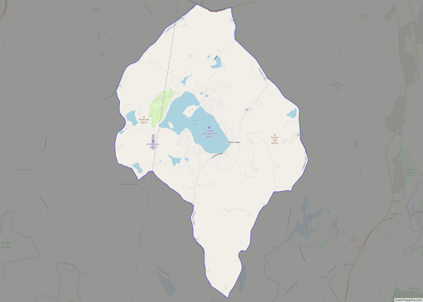
Copake Lake is a community (and census-designated place) in southern Columbia County, New York, United States. The population was 823 at the 2010 census.
The community is named after Copake Lake, a lake by the west town line of the town of Copake. Copake means “snake pond” in the native language.
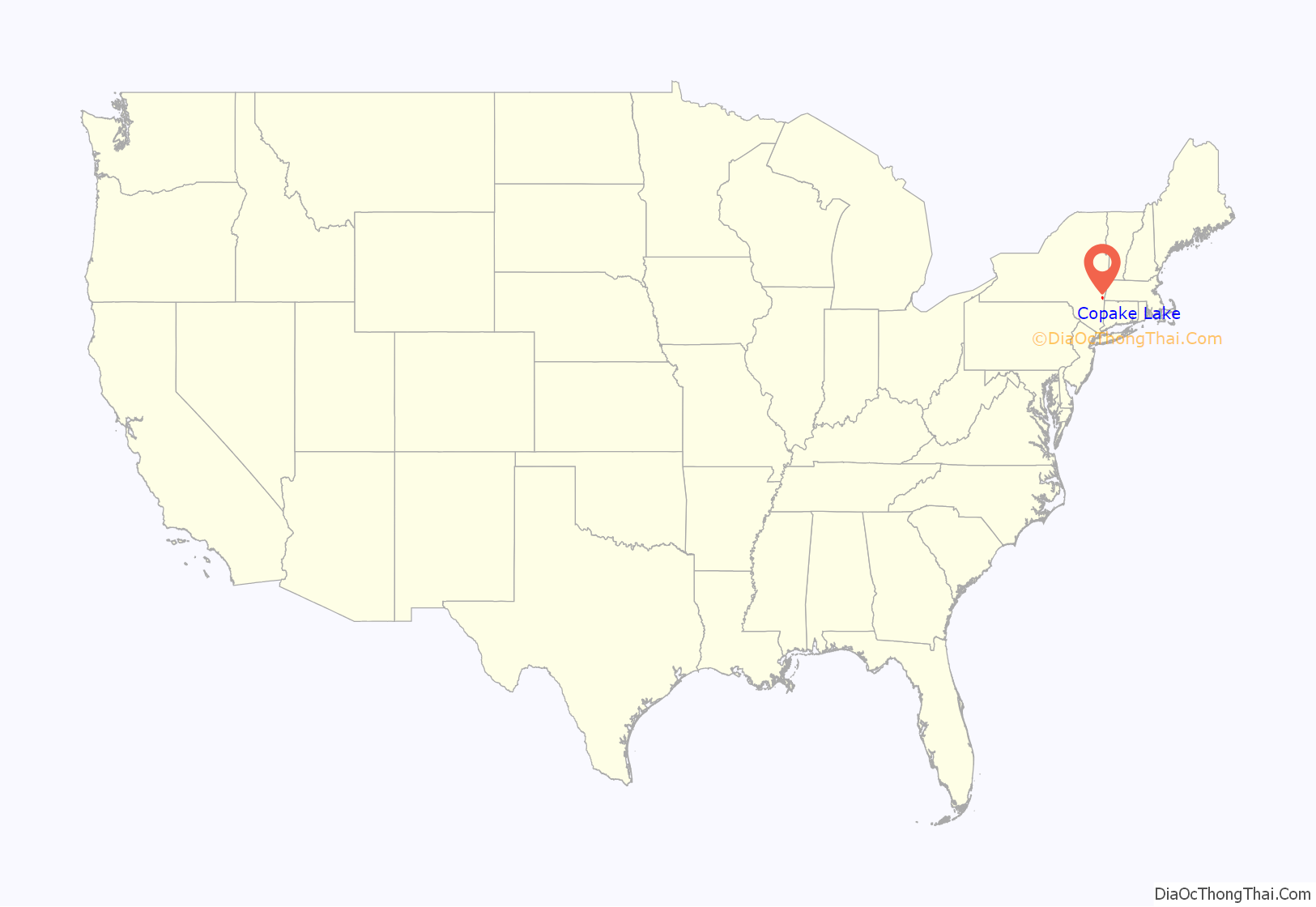
Copake Lake is located about 95 miles (153 km) north of New York City and is an area of second homes.
| Name: | Copake Lake CDP |
|---|---|
| LSAD Code: | 57 |
| LSAD Description: | CDP (suffix) |
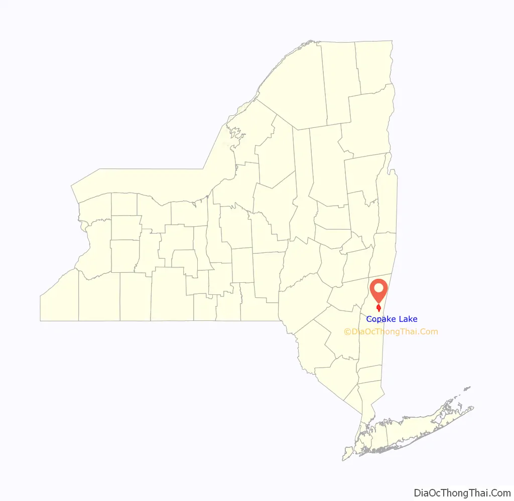
| State: | New York |
| County: | Columbia County |
| Elevation: | 719 ft (219 m) |
| Total Area: | 10.31 sq mi (26.71 km²) |
| Land Area: | 9.50 sq mi (24.61 km²) |
| Water Area: | 0.81 sq mi (2.10 km²) |
| Total Population: | 767 |
| Population Density: | 80.70/sq mi (31.16/km²) |
| FIPS code: | 3618124 |
| GNISfeature ID: | 1852895 |
Online Interactive Map
Click on ![]() to view map in "full screen" mode.
to view map in "full screen" mode.
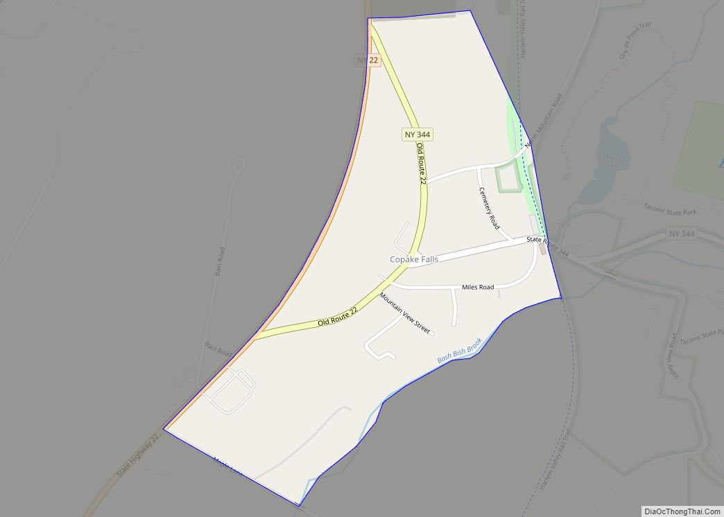
Copake Lake location map. Where is Copake Lake CDP?
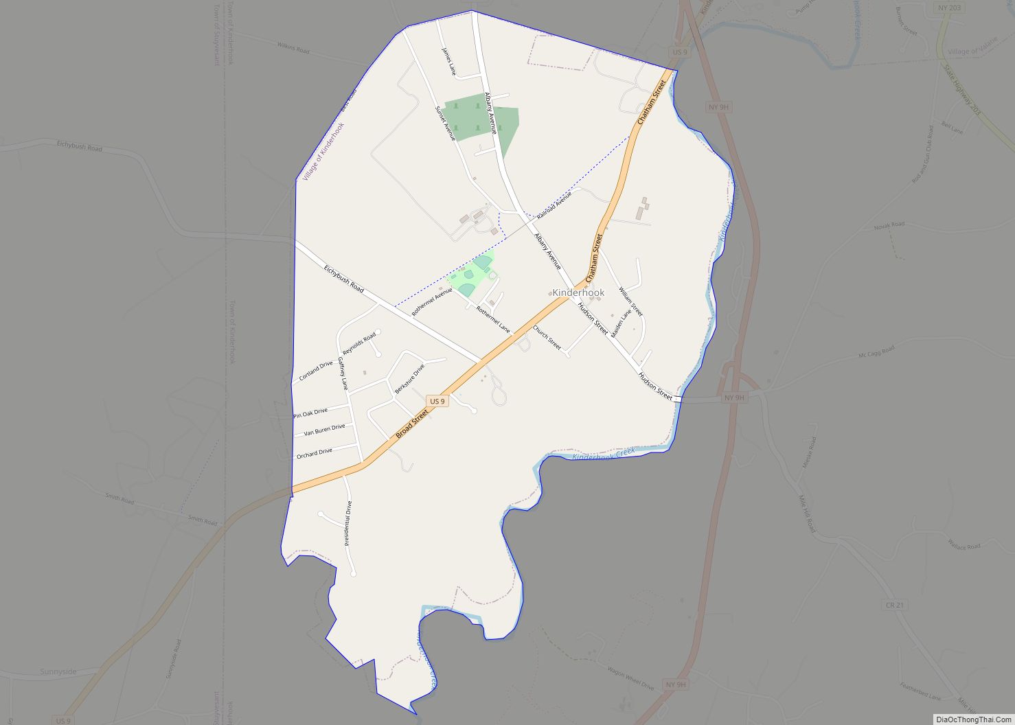
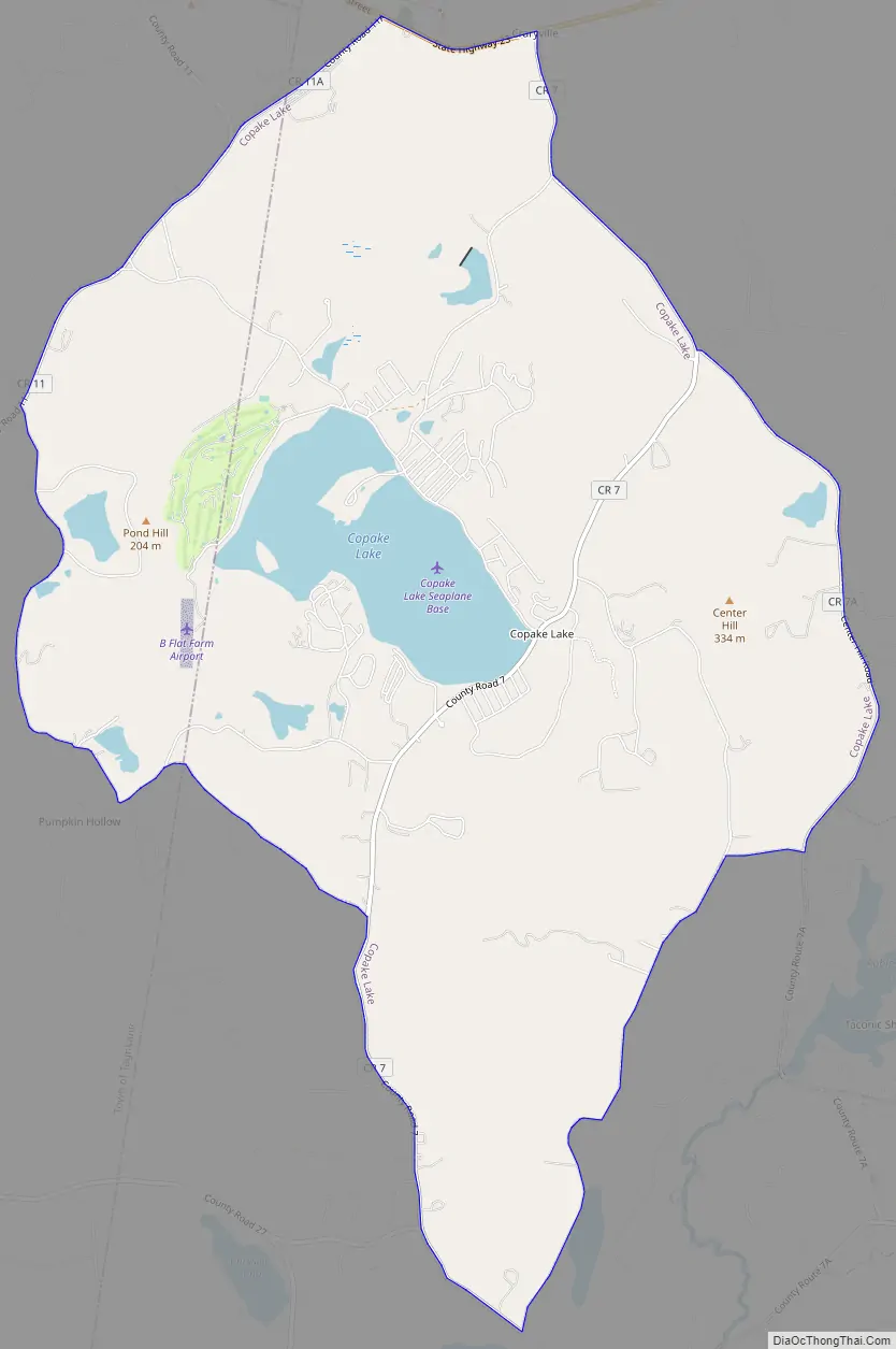
Copake Lake Road Map
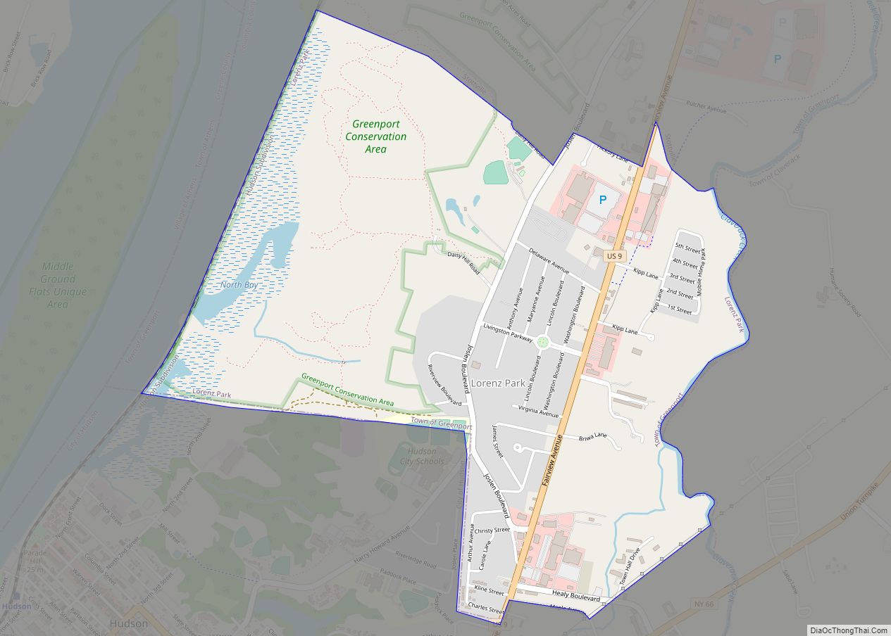
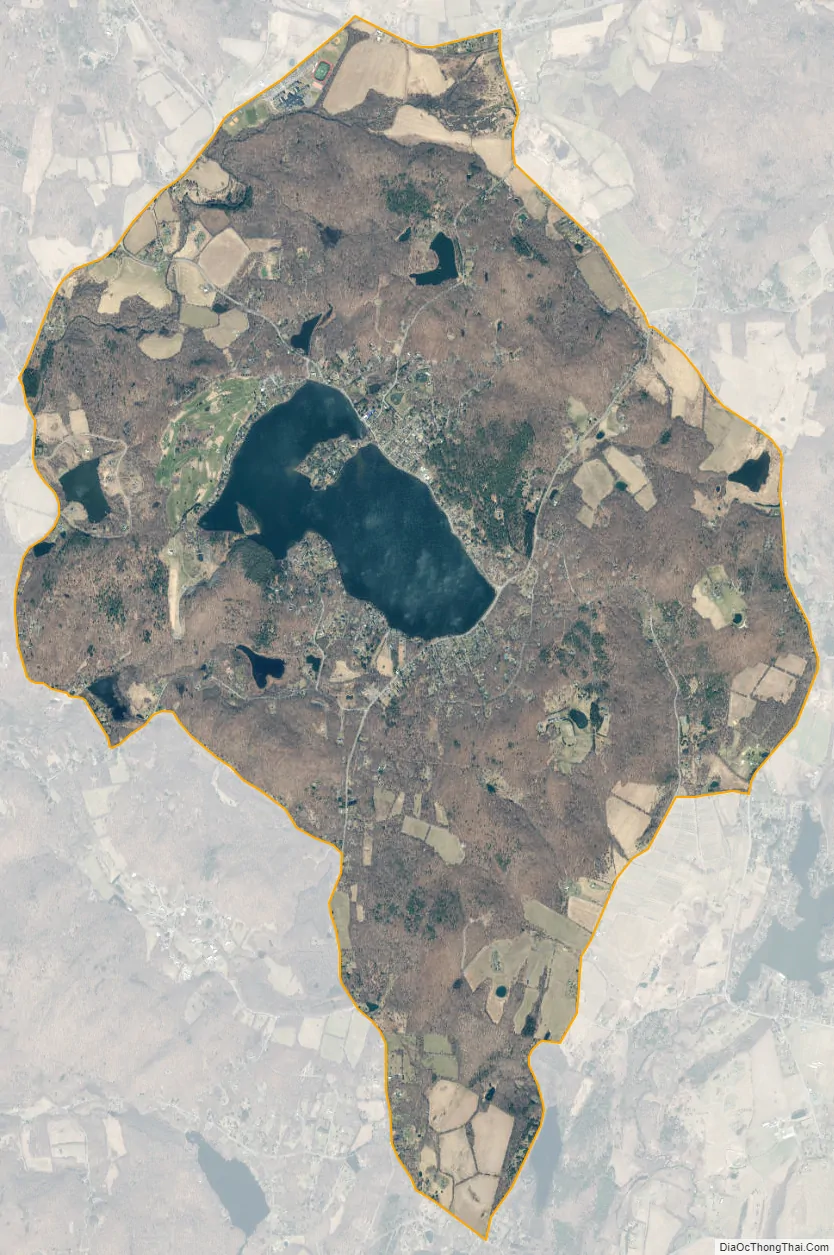
Copake Lake city Satellite Map
Geography
Copake Lake is located at 42°8′50″N 73°35′51″W / 42.14722°N 73.59750°W / 42.14722; -73.59750 (42.147128, -73.597614). The community surrounds the water body of Copake Lake, part of the Taghkanic Creek watershed flowing west to the Hudson River. Most of the CDP is in the town of Copake, while about 20% of it extends westward into the town of Taghkanic.
According to the United States Census Bureau, the CDP has a total area of 10.3 square miles (26.7 km), of which 9.5 square miles (24.6 km) is land and 0.81 square miles (2.1 km), or 7.80%, is water.
See also
Map of New York State and its subdivision:- Albany
- Allegany
- Bronx
- Broome
- Cattaraugus
- Cayuga
- Chautauqua
- Chemung
- Chenango
- Clinton
- Columbia
- Cortland
- Delaware
- Dutchess
- Erie
- Essex
- Franklin
- Fulton
- Genesee
- Greene
- Hamilton
- Herkimer
- Jefferson
- Kings
- Lake Ontario
- Lewis
- Livingston
- Madison
- Monroe
- Montgomery
- Nassau
- New York
- Niagara
- Oneida
- Onondaga
- Ontario
- Orange
- Orleans
- Oswego
- Otsego
- Putnam
- Queens
- Rensselaer
- Richmond
- Rockland
- Saint Lawrence
- Saratoga
- Schenectady
- Schoharie
- Schuyler
- Seneca
- Steuben
- Suffolk
- Sullivan
- Tioga
- Tompkins
- Ulster
- Warren
- Washington
- Wayne
- Westchester
- Wyoming
- Yates
- Alabama
- Alaska
- Arizona
- Arkansas
- California
- Colorado
- Connecticut
- Delaware
- District of Columbia
- Florida
- Georgia
- Hawaii
- Idaho
- Illinois
- Indiana
- Iowa
- Kansas
- Kentucky
- Louisiana
- Maine
- Maryland
- Massachusetts
- Michigan
- Minnesota
- Mississippi
- Missouri
- Montana
- Nebraska
- Nevada
- New Hampshire
- New Jersey
- New Mexico
- New York
- North Carolina
- North Dakota
- Ohio
- Oklahoma
- Oregon
- Pennsylvania
- Rhode Island
- South Carolina
- South Dakota
- Tennessee
- Texas
- Utah
- Vermont
- Virginia
- Washington
- West Virginia
- Wisconsin
- Wyoming