Coram /kɔːrəm/ is a hamlet and census-designated place in the town of Brookhaven, Suffolk County, Long Island, New York, United States. As of the 2010 United States census, the CDP population was 39,113.
| Name: | Coram CDP |
|---|---|
| LSAD Code: | 57 |
| LSAD Description: | CDP (suffix) |
| State: | New York |
| County: | Suffolk County |
| Elevation: | 95 ft (29 m) |
| Total Area: | 13.83 sq mi (35.81 km²) |
| Land Area: | 13.83 sq mi (35.81 km²) |
| Water Area: | 0.00 sq mi (0.00 km²) |
| Total Population: | 40,220 |
| Population Density: | 2,909.01/sq mi (1,123.17/km²) |
| ZIP code: | 11727 |
| Area code: | 631, 934 |
| FIPS code: | 3618157 |
| GNISfeature ID: | 0947423 |
Online Interactive Map
Click on ![]() to view map in "full screen" mode.
to view map in "full screen" mode.
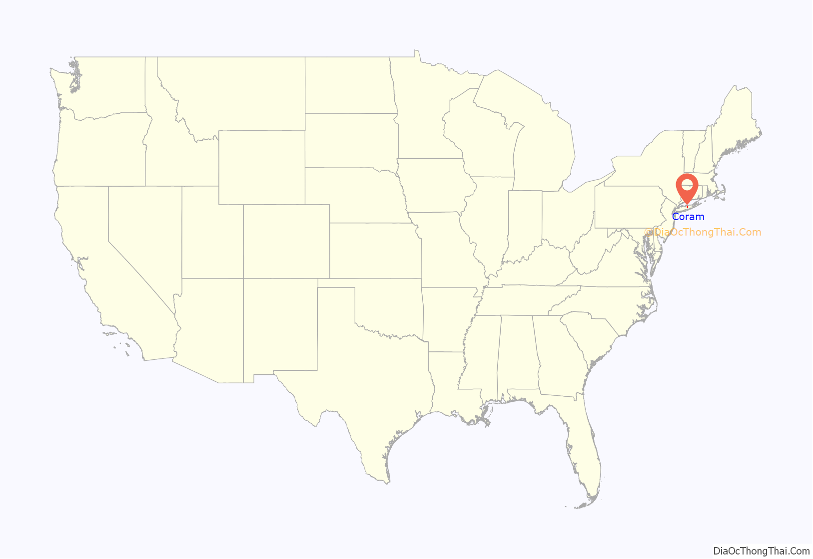
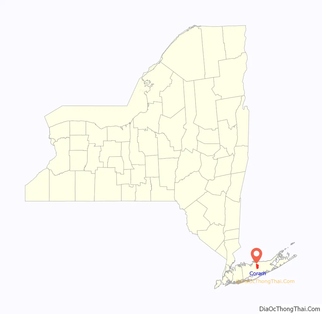
Coram location map. Where is Coram CDP?
History
Coram is the oldest settlement in the central part of the town of Brookhaven. Its early name was “Wincoram”, perhaps the name of a Native American who lived in the area as late as 1703. The first European settler in the area was likely William Satterly, who sought permission to open a tavern to cater to travelers in 1677.
During the American Revolutionary War, Benjamin Tallmadge with his contingent of Light Dragoons arrived and he with 12 Culper Ring men captured and burned 300 tons of hay the British were storing for winter to feed their horses. George Washington, on hearing the news, sent the following letter to Tallmadge: I have received with much pleasure the report of your successful enterprise upon fort St. George, and was pleased with the destruction of the hay at Coram, which must be severely felt by the enemy at this time. I beg you to accept my thanks for your spirited execution of this business. Annually Coram celebrates the event in October.
From 1784 to 1885, Coram served as the meeting place for the Town of Brookhaven government, using the Davis Town Meeting House for much of that period. The Davis House, built in the 1750s, was placed on the National Register of Historic Places in 2001 and is the oldest existing structure in Coram.
A small airport existed in Coram until 1984.
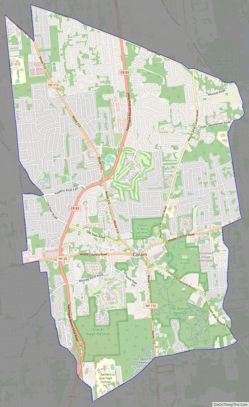
Coram Road Map
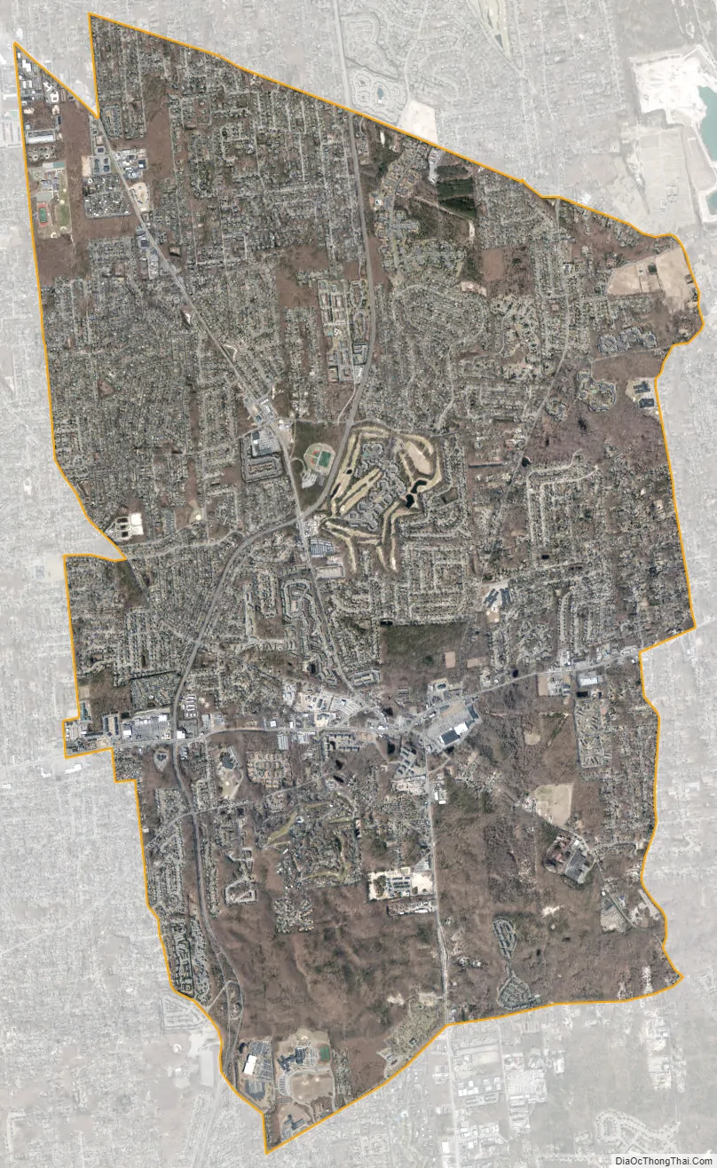
Coram city Satellite Map
Geography
The CDP has a total area of 13.8 square miles (36 km), all land.
See also
Map of New York State and its subdivision:- Albany
- Allegany
- Bronx
- Broome
- Cattaraugus
- Cayuga
- Chautauqua
- Chemung
- Chenango
- Clinton
- Columbia
- Cortland
- Delaware
- Dutchess
- Erie
- Essex
- Franklin
- Fulton
- Genesee
- Greene
- Hamilton
- Herkimer
- Jefferson
- Kings
- Lake Ontario
- Lewis
- Livingston
- Madison
- Monroe
- Montgomery
- Nassau
- New York
- Niagara
- Oneida
- Onondaga
- Ontario
- Orange
- Orleans
- Oswego
- Otsego
- Putnam
- Queens
- Rensselaer
- Richmond
- Rockland
- Saint Lawrence
- Saratoga
- Schenectady
- Schoharie
- Schuyler
- Seneca
- Steuben
- Suffolk
- Sullivan
- Tioga
- Tompkins
- Ulster
- Warren
- Washington
- Wayne
- Westchester
- Wyoming
- Yates
- Alabama
- Alaska
- Arizona
- Arkansas
- California
- Colorado
- Connecticut
- Delaware
- District of Columbia
- Florida
- Georgia
- Hawaii
- Idaho
- Illinois
- Indiana
- Iowa
- Kansas
- Kentucky
- Louisiana
- Maine
- Maryland
- Massachusetts
- Michigan
- Minnesota
- Mississippi
- Missouri
- Montana
- Nebraska
- Nevada
- New Hampshire
- New Jersey
- New Mexico
- New York
- North Carolina
- North Dakota
- Ohio
- Oklahoma
- Oregon
- Pennsylvania
- Rhode Island
- South Carolina
- South Dakota
- Tennessee
- Texas
- Utah
- Vermont
- Virginia
- Washington
- West Virginia
- Wisconsin
- Wyoming


