Cutchogue (/ˈkʌtʃɒɡ/ KUTCH-og) is a hamlet and census-designated place (CDP) in Suffolk County, New York, United States, on the North Fork of Long Island’s East End. The population was 3,349 at the 2010 census.
The Cutchogue CDP roughly represents the area of the Cutchogue hamlet in the town of Southold.
| Name: | Cutchogue CDP |
|---|---|
| LSAD Code: | 57 |
| LSAD Description: | CDP (suffix) |
| State: | New York |
| County: | Suffolk County |
| Elevation: | 30 ft (9 m) |
| Total Area: | 10.94 sq mi (28.35 km²) |
| Land Area: | 9.78 sq mi (25.32 km²) |
| Water Area: | 1.17 sq mi (3.02 km²) |
| Total Population: | 3,437 |
| Population Density: | 351.54/sq mi (135.73/km²) |
| ZIP code: | 11935 |
| Area code: | 631 |
| FIPS code: | 3619466 |
| GNISfeature ID: | 0947961 |
Online Interactive Map
Click on ![]() to view map in "full screen" mode.
to view map in "full screen" mode.
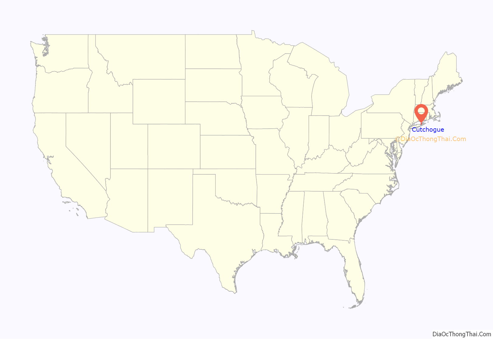
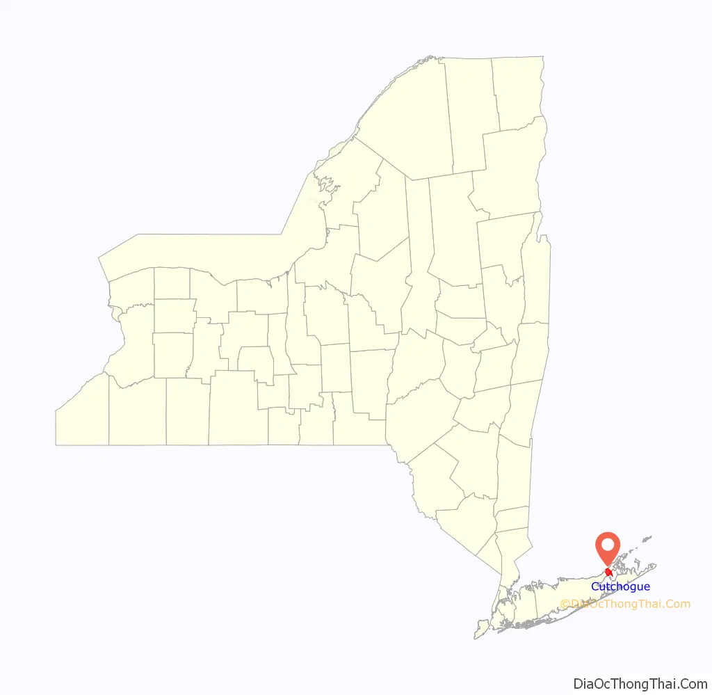
Cutchogue location map. Where is Cutchogue CDP?
History
The name Cutchogue is derived from an Algonquin word meaning “principal place”. Many of the local Native Americans lived at Fort Corchaug before English-American settlers began arriving in 1640. The Old House, built ca. 1699, is the oldest English-style house in the village. In fact, it is one of the best surviving examples of English domestic architecture in the United States, and it has been named a National Historic Landmark.
Famous 18th century residents include political figure Parker Wickham and his nephew John Wickham. Cutchogue is also the birthplace of composer Douglas Moore (1893–1969).
In 1854, Cutchogue was the location of three notorious murders perpetrated by Nicholas Bain.
Hargrave Vineyard, the first winery on Long Island, was established in Cutchogue in 1973. The Long Island Merlot Alliance, which promotes wine-making using the merlot grape, the principal Long Island grape, is based in Cutchogue.
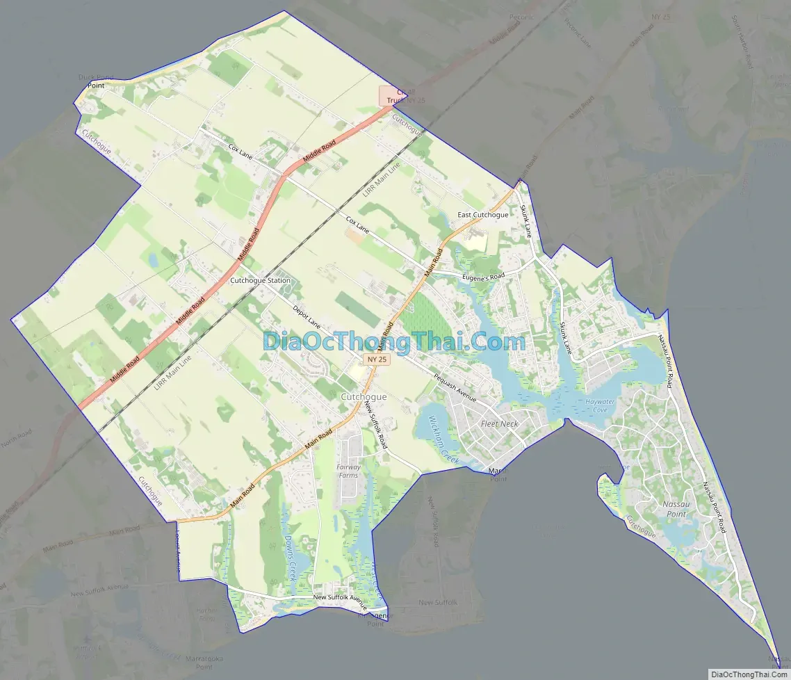
Cutchogue Road Map
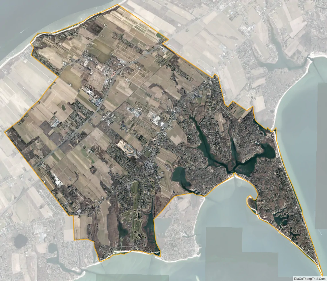
Cutchogue city Satellite Map
Geography
According to the United States Census Bureau, the community has a total area of 10.2 square miles (26.3 km), of which 9.7 square miles (25.2 km) is land and 0.42 square miles (1.1 km), or 4.2%, is water.
See also
Map of New York State and its subdivision:- Albany
- Allegany
- Bronx
- Broome
- Cattaraugus
- Cayuga
- Chautauqua
- Chemung
- Chenango
- Clinton
- Columbia
- Cortland
- Delaware
- Dutchess
- Erie
- Essex
- Franklin
- Fulton
- Genesee
- Greene
- Hamilton
- Herkimer
- Jefferson
- Kings
- Lake Ontario
- Lewis
- Livingston
- Madison
- Monroe
- Montgomery
- Nassau
- New York
- Niagara
- Oneida
- Onondaga
- Ontario
- Orange
- Orleans
- Oswego
- Otsego
- Putnam
- Queens
- Rensselaer
- Richmond
- Rockland
- Saint Lawrence
- Saratoga
- Schenectady
- Schoharie
- Schuyler
- Seneca
- Steuben
- Suffolk
- Sullivan
- Tioga
- Tompkins
- Ulster
- Warren
- Washington
- Wayne
- Westchester
- Wyoming
- Yates
- Alabama
- Alaska
- Arizona
- Arkansas
- California
- Colorado
- Connecticut
- Delaware
- District of Columbia
- Florida
- Georgia
- Hawaii
- Idaho
- Illinois
- Indiana
- Iowa
- Kansas
- Kentucky
- Louisiana
- Maine
- Maryland
- Massachusetts
- Michigan
- Minnesota
- Mississippi
- Missouri
- Montana
- Nebraska
- Nevada
- New Hampshire
- New Jersey
- New Mexico
- New York
- North Carolina
- North Dakota
- Ohio
- Oklahoma
- Oregon
- Pennsylvania
- Rhode Island
- South Carolina
- South Dakota
- Tennessee
- Texas
- Utah
- Vermont
- Virginia
- Washington
- West Virginia
- Wisconsin
- Wyoming


