Cuylerville is a hamlet in the Town of Leicester, in Livingston County, New York, United States. The population was 297 at the 2010 census, which lists the community as a census-designated place.
| Name: | Cuylerville CDP |
|---|---|
| LSAD Code: | 57 |
| LSAD Description: | CDP (suffix) |
| State: | New York |
| County: | Livingston County |
| Elevation: | 571 ft (174 m) |
| Total Area: | 0.42 sq mi (1.09 km²) |
| Land Area: | 0.42 sq mi (1.09 km²) |
| Water Area: | 0.00 sq mi (0.00 km²) |
| Total Population: | 268 |
| Population Density: | 636.58/sq mi (245.54/km²) |
| ZIP code: | 14481 |
| Area code: | 585 |
| FIPS code: | 3619510 |
| GNISfeature ID: | 947974 |
Online Interactive Map
Click on ![]() to view map in "full screen" mode.
to view map in "full screen" mode.
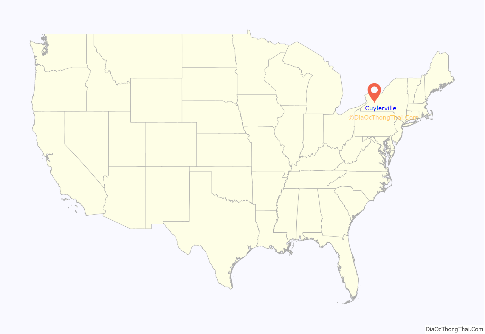
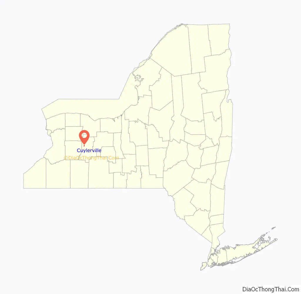
Cuylerville location map. Where is Cuylerville CDP?
History
The community was named for W. T. Cuyler, an early settler. The hamlet is located on the site of Little Beard’s Town, a large Seneca village destroyed in the Sullivan Campaign. Mary Jemison, known as “the White Woman of the Genesee”, lived here. The National Hotel was added to the National Register of Historic Places in 2004. Located near Cuylerville is the Boyd & Parker Park and Groveland Ambuscade, listed on the National Register of Historic Places in 2009.
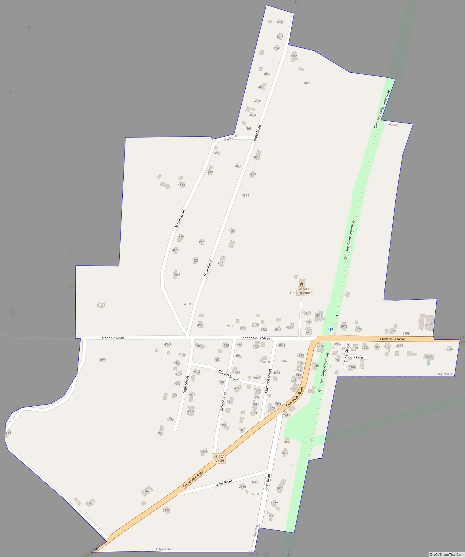
Cuylerville Road Map
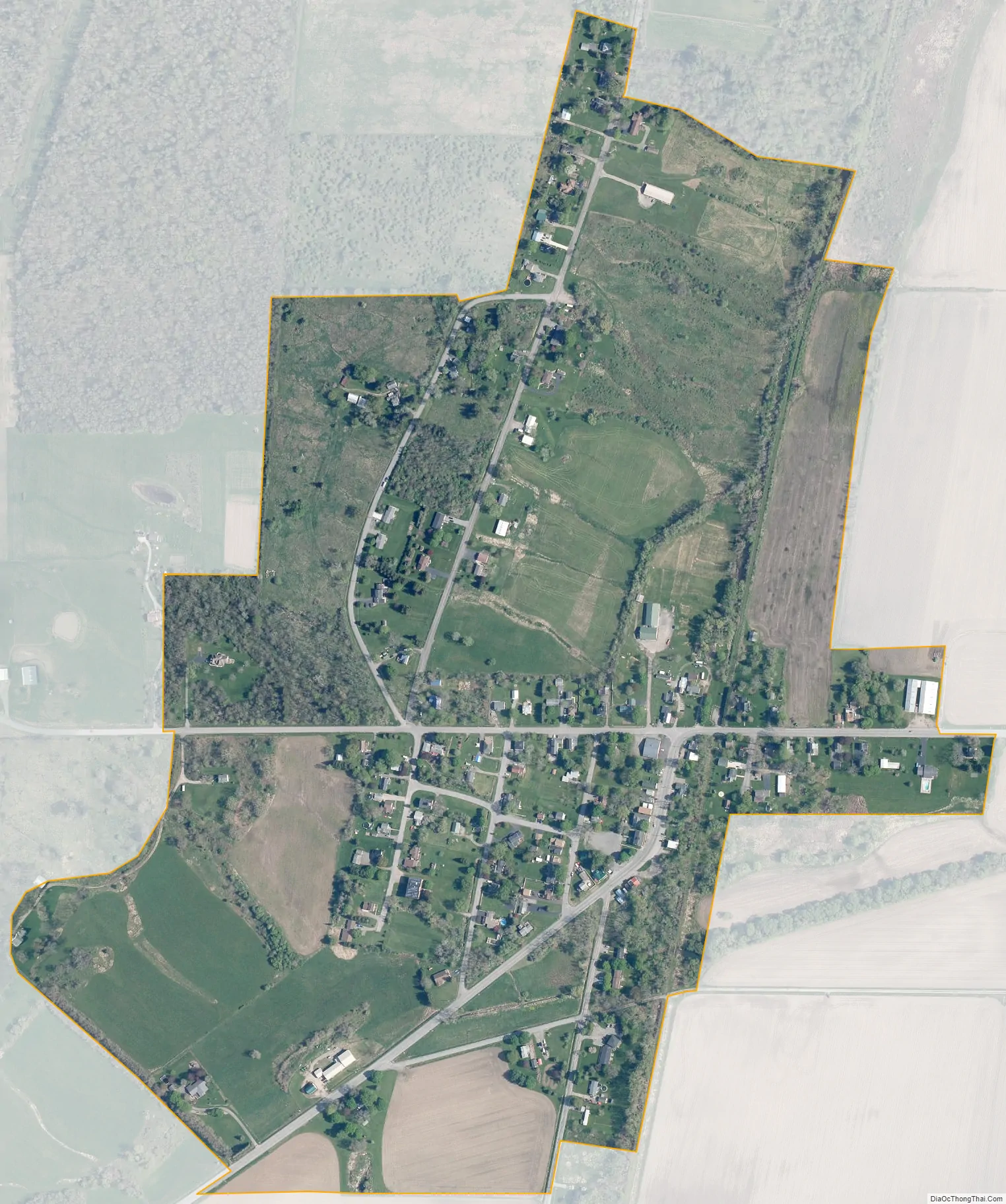
Cuylerville city Satellite Map
Geography
Cuylerville is in western Livingston County, in the eastern part of the town of Leicester. U.S. Route 20A and New York State Route 39 pass through the community together as Cuylerville Road, leading west 1.5 miles (2.4 km) to Leicester village and east 3.5 miles (5.6 km) to Geneseo, the Livingston county seat.
According to the U.S. Census Bureau, the Cuylerville CDP has an area of 0.42 square miles (1.09 km), all land. The hamlet sits at the western edge of the valley of the Genesee River.
See also
Map of New York State and its subdivision:- Albany
- Allegany
- Bronx
- Broome
- Cattaraugus
- Cayuga
- Chautauqua
- Chemung
- Chenango
- Clinton
- Columbia
- Cortland
- Delaware
- Dutchess
- Erie
- Essex
- Franklin
- Fulton
- Genesee
- Greene
- Hamilton
- Herkimer
- Jefferson
- Kings
- Lake Ontario
- Lewis
- Livingston
- Madison
- Monroe
- Montgomery
- Nassau
- New York
- Niagara
- Oneida
- Onondaga
- Ontario
- Orange
- Orleans
- Oswego
- Otsego
- Putnam
- Queens
- Rensselaer
- Richmond
- Rockland
- Saint Lawrence
- Saratoga
- Schenectady
- Schoharie
- Schuyler
- Seneca
- Steuben
- Suffolk
- Sullivan
- Tioga
- Tompkins
- Ulster
- Warren
- Washington
- Wayne
- Westchester
- Wyoming
- Yates
- Alabama
- Alaska
- Arizona
- Arkansas
- California
- Colorado
- Connecticut
- Delaware
- District of Columbia
- Florida
- Georgia
- Hawaii
- Idaho
- Illinois
- Indiana
- Iowa
- Kansas
- Kentucky
- Louisiana
- Maine
- Maryland
- Massachusetts
- Michigan
- Minnesota
- Mississippi
- Missouri
- Montana
- Nebraska
- Nevada
- New Hampshire
- New Jersey
- New Mexico
- New York
- North Carolina
- North Dakota
- Ohio
- Oklahoma
- Oregon
- Pennsylvania
- Rhode Island
- South Carolina
- South Dakota
- Tennessee
- Texas
- Utah
- Vermont
- Virginia
- Washington
- West Virginia
- Wisconsin
- Wyoming


