Dalton is a hamlet and census-designated place (CDP) in the towns of Nunda and Portage in Livingston County, New York, United States. The population was 362 at the 2010 census.
| Name: | Dalton CDP |
|---|---|
| LSAD Code: | 57 |
| LSAD Description: | CDP (suffix) |
| State: | New York |
| County: | Livingston County |
| Elevation: | 1,360 ft (410 m) |
| Total Area: | 0.76 sq mi (1.96 km²) |
| Land Area: | 0.76 sq mi (1.96 km²) |
| Water Area: | 0.00 sq mi (0.00 km²) |
| Total Population: | 351 |
| Population Density: | 464.90/sq mi (179.54/km²) |
| ZIP code: | 14836 |
| Area code: | 585 |
| FIPS code: | 3619587 |
| GNISfeature ID: | 948001 |
Online Interactive Map
Click on ![]() to view map in "full screen" mode.
to view map in "full screen" mode.
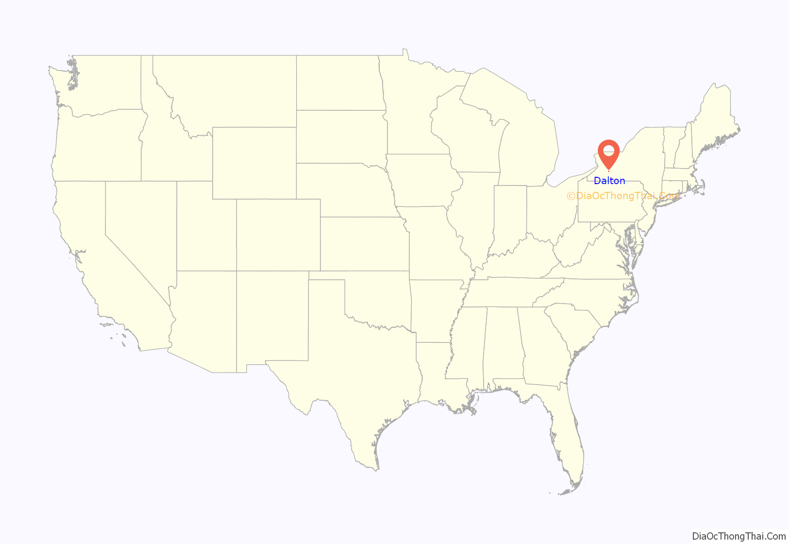
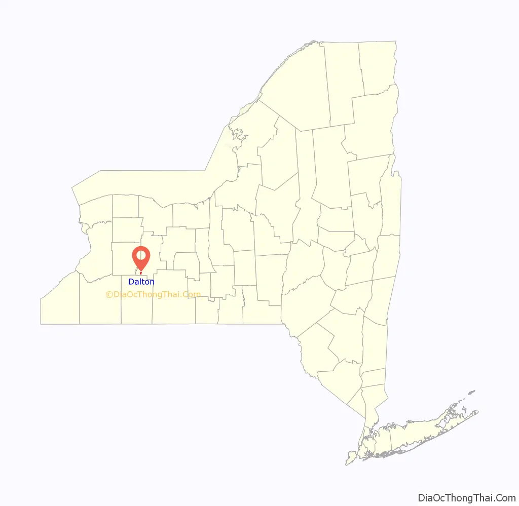
Dalton location map. Where is Dalton CDP?
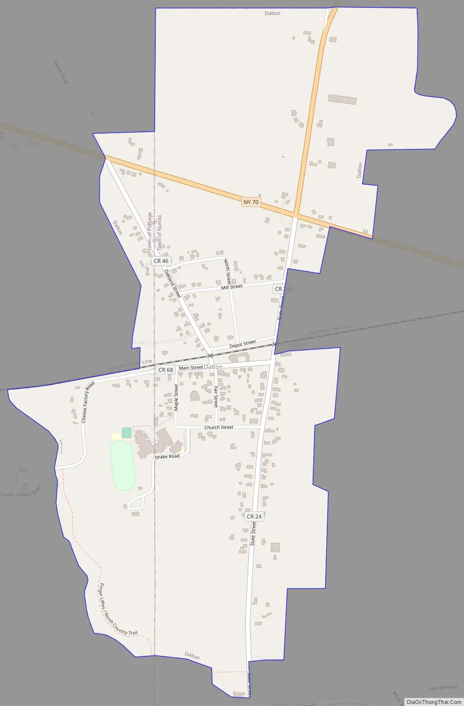
Dalton Road Map
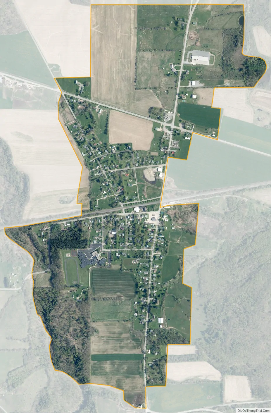
Dalton city Satellite Map
Geography
Dalton is in southwestern Livingston County, primarily in the southwestern part of the town of Nunda, with a small portion crossing into the southeastern part of the town of Portage. New York State Route 70 passes through the northern part of the community, leading northwest 6 miles (10 km) to Portageville and southeast 11 miles (18 km) to Canaseraga. State Route 408 leads north from SR 70 2.5 miles (4.0 km) to the village of Nunda.
According to the U.S. Census Bureau, the Dalton CDP has an area of 0.76 square miles (1.96 km), all land. The western edge of the CDP is Keshequa Creek, a northward-flowing tributary of Canaseraga Creek and part of the Genesee River watershed.
See also
Map of New York State and its subdivision:- Albany
- Allegany
- Bronx
- Broome
- Cattaraugus
- Cayuga
- Chautauqua
- Chemung
- Chenango
- Clinton
- Columbia
- Cortland
- Delaware
- Dutchess
- Erie
- Essex
- Franklin
- Fulton
- Genesee
- Greene
- Hamilton
- Herkimer
- Jefferson
- Kings
- Lake Ontario
- Lewis
- Livingston
- Madison
- Monroe
- Montgomery
- Nassau
- New York
- Niagara
- Oneida
- Onondaga
- Ontario
- Orange
- Orleans
- Oswego
- Otsego
- Putnam
- Queens
- Rensselaer
- Richmond
- Rockland
- Saint Lawrence
- Saratoga
- Schenectady
- Schoharie
- Schuyler
- Seneca
- Steuben
- Suffolk
- Sullivan
- Tioga
- Tompkins
- Ulster
- Warren
- Washington
- Wayne
- Westchester
- Wyoming
- Yates
- Alabama
- Alaska
- Arizona
- Arkansas
- California
- Colorado
- Connecticut
- Delaware
- District of Columbia
- Florida
- Georgia
- Hawaii
- Idaho
- Illinois
- Indiana
- Iowa
- Kansas
- Kentucky
- Louisiana
- Maine
- Maryland
- Massachusetts
- Michigan
- Minnesota
- Mississippi
- Missouri
- Montana
- Nebraska
- Nevada
- New Hampshire
- New Jersey
- New Mexico
- New York
- North Carolina
- North Dakota
- Ohio
- Oklahoma
- Oregon
- Pennsylvania
- Rhode Island
- South Carolina
- South Dakota
- Tennessee
- Texas
- Utah
- Vermont
- Virginia
- Washington
- West Virginia
- Wisconsin
- Wyoming


