Dryden is a village in Tompkins County, New York, United States. The population was 1,890 at the 2010 census. The name was assigned by a clerk, interested in the classics, to honor poet John Dryden. The village is in the town of Dryden, east of Ithaca. It is near the border of Cortland County.
| Name: | Dryden village |
|---|---|
| LSAD Code: | 47 |
| LSAD Description: | village (suffix) |
| State: | New York |
| County: | Tompkins County |
| Incorporated: | July 7, 1857 (1857-07-07) |
| Elevation: | 1,089 ft (332 m) |
| Total Area: | 1.77 sq mi (4.58 km²) |
| Land Area: | 1.76 sq mi (4.55 km²) |
| Water Area: | 0.01 sq mi (0.04 km²) |
| Total Population: | 1,887 |
| Population Density: | 1,074.60/sq mi (414.83/km²) |
| ZIP code: | 13053 |
| Area code: | 607 |
| FIPS code: | 3620951 |
| GNISfeature ID: | 0948704 |
| Website: | www.dryden-ny.org |
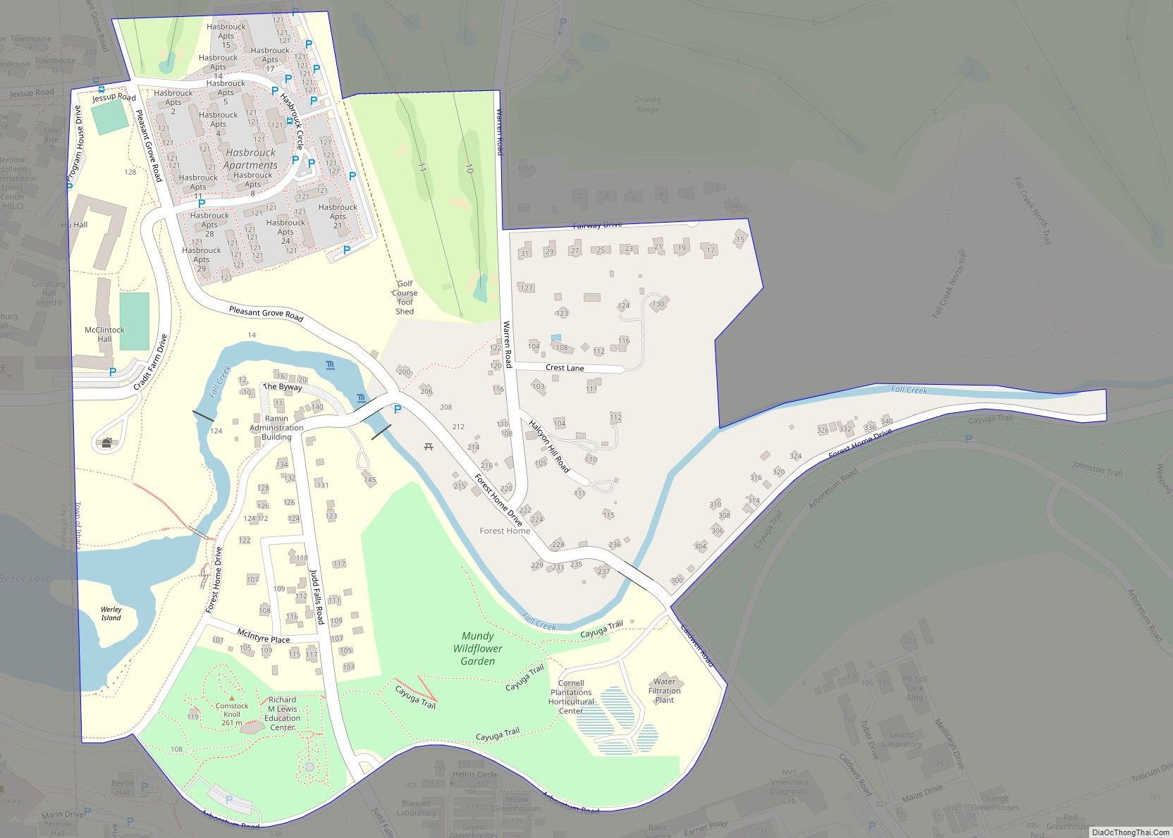
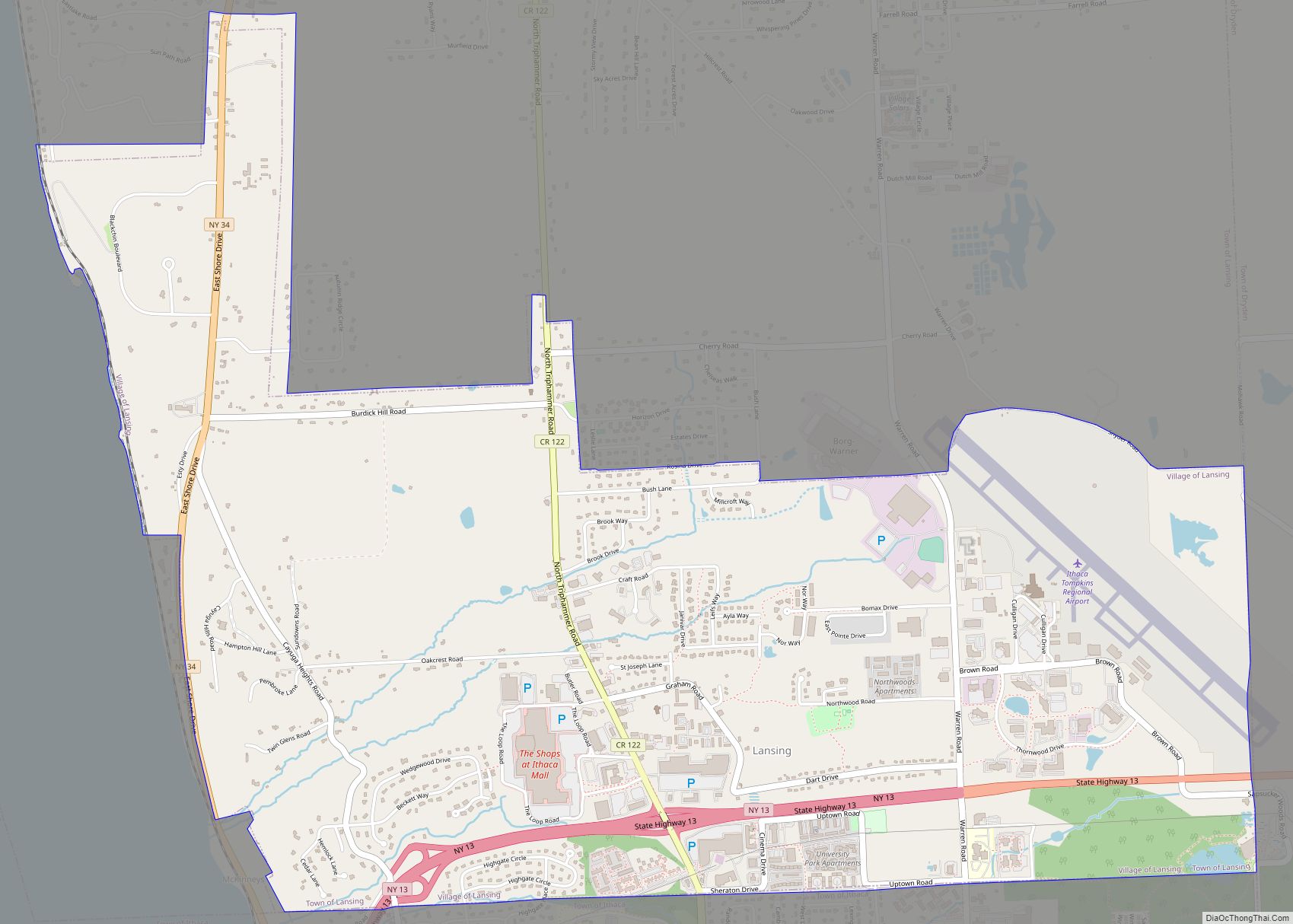
Online Interactive Map
Click on ![]() to view map in "full screen" mode.
to view map in "full screen" mode.
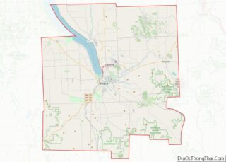
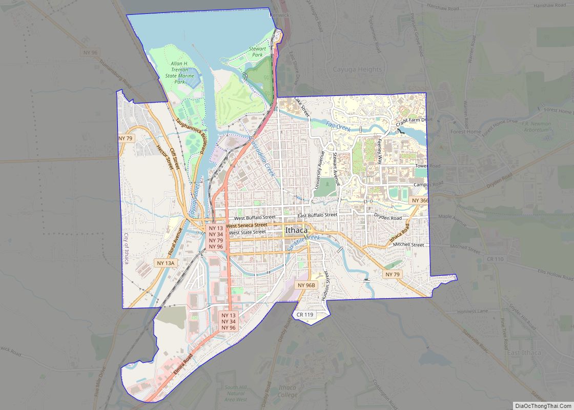
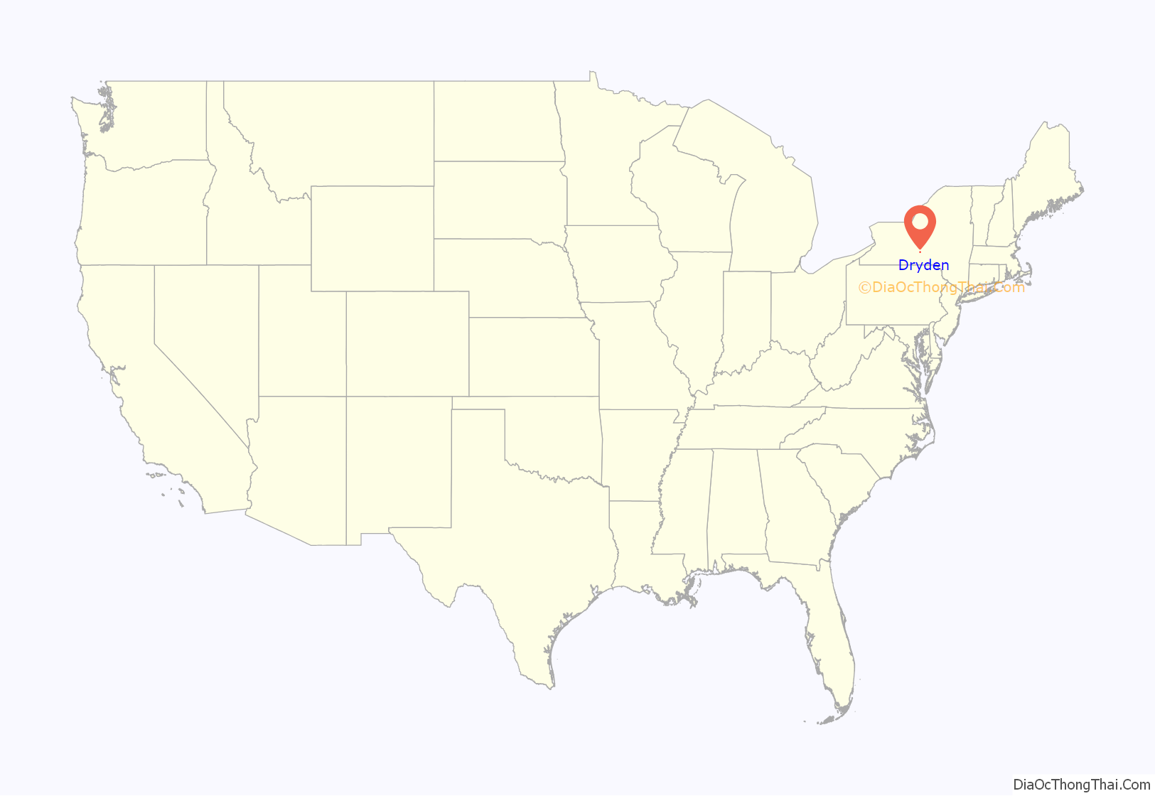
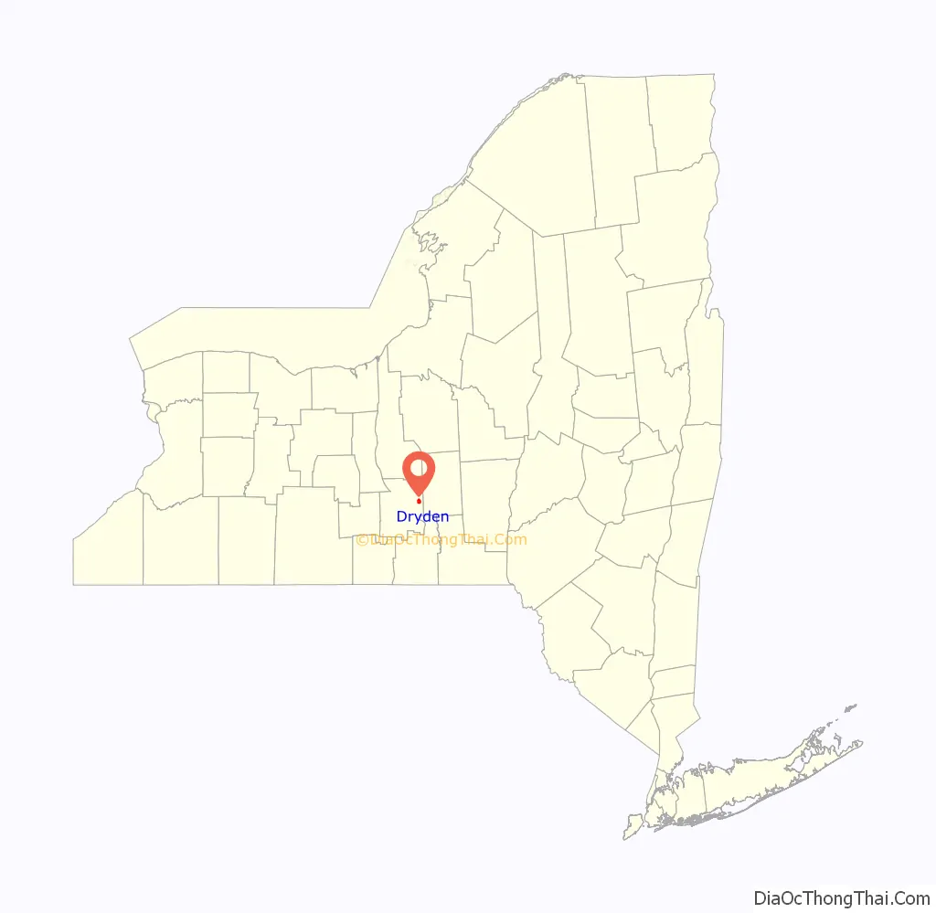
Dryden location map. Where is Dryden village?
History
The village is in the former Central New York Military Tract.
The first settler in the town located on the site of the future village in 1797.
The village of Dryden was incorporated in 1857.
The Dryden Historic District, Luther Clarke House, Jennings-Marvin House, Lacy-Van Vleet House, Methodist Episcopal Church, Rockwell House, Southworth House, and Southworth Library are listed on the National Register of Historic Places.
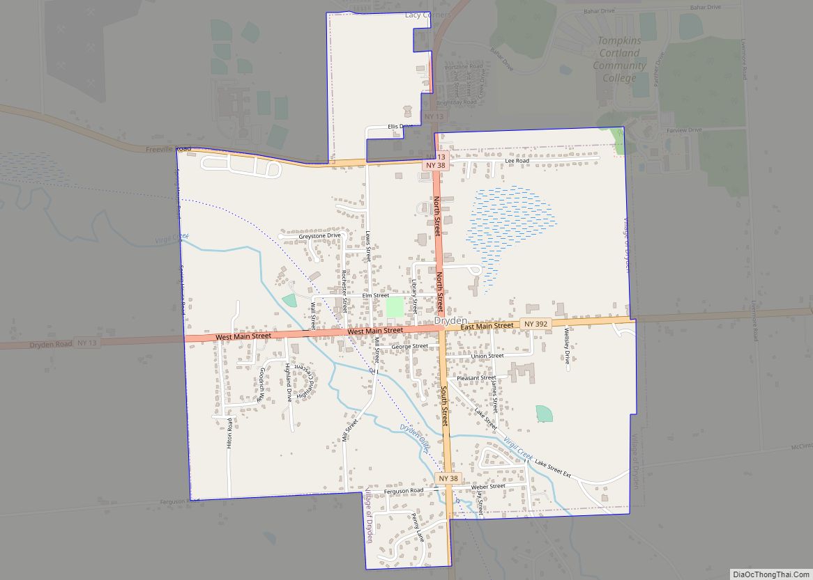
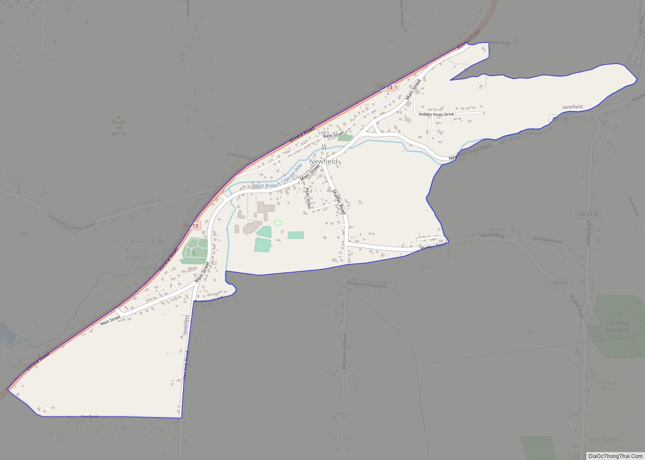
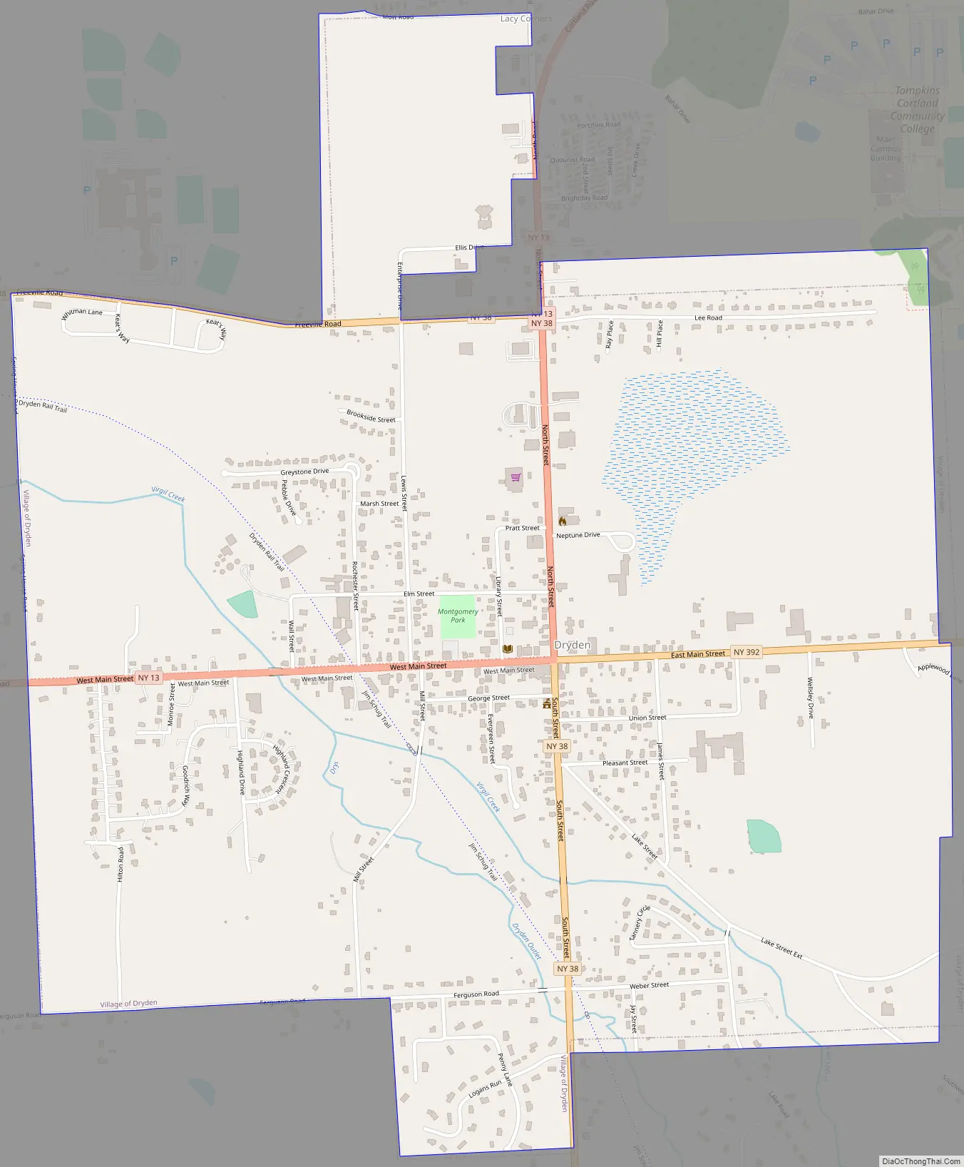
Dryden Road Map
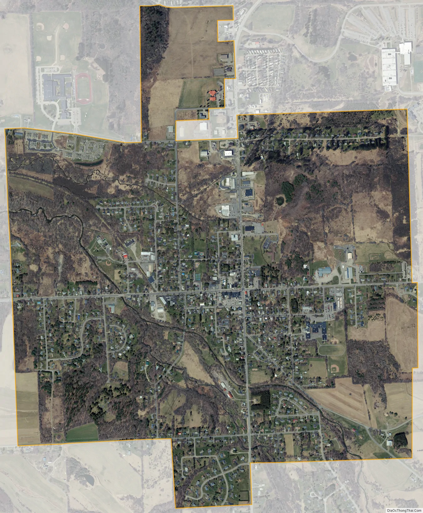
Dryden city Satellite Map
Geography
Dryden is located at 42°29′21″N 76°17′58″W / 42.48917°N 76.29944°W / 42.48917; -76.29944 (42.489188, -76.299589).
According to the United States Census Bureau, the village has a total area of 1.7 square miles (4.3 km).None of the area is covered with water.
New York State Route 13 intersects New York State Route 38 in the village.
See also
Map of New York State and its subdivision:- Albany
- Allegany
- Bronx
- Broome
- Cattaraugus
- Cayuga
- Chautauqua
- Chemung
- Chenango
- Clinton
- Columbia
- Cortland
- Delaware
- Dutchess
- Erie
- Essex
- Franklin
- Fulton
- Genesee
- Greene
- Hamilton
- Herkimer
- Jefferson
- Kings
- Lake Ontario
- Lewis
- Livingston
- Madison
- Monroe
- Montgomery
- Nassau
- New York
- Niagara
- Oneida
- Onondaga
- Ontario
- Orange
- Orleans
- Oswego
- Otsego
- Putnam
- Queens
- Rensselaer
- Richmond
- Rockland
- Saint Lawrence
- Saratoga
- Schenectady
- Schoharie
- Schuyler
- Seneca
- Steuben
- Suffolk
- Sullivan
- Tioga
- Tompkins
- Ulster
- Warren
- Washington
- Wayne
- Westchester
- Wyoming
- Yates
- Alabama
- Alaska
- Arizona
- Arkansas
- California
- Colorado
- Connecticut
- Delaware
- District of Columbia
- Florida
- Georgia
- Hawaii
- Idaho
- Illinois
- Indiana
- Iowa
- Kansas
- Kentucky
- Louisiana
- Maine
- Maryland
- Massachusetts
- Michigan
- Minnesota
- Mississippi
- Missouri
- Montana
- Nebraska
- Nevada
- New Hampshire
- New Jersey
- New Mexico
- New York
- North Carolina
- North Dakota
- Ohio
- Oklahoma
- Oregon
- Pennsylvania
- Rhode Island
- South Carolina
- South Dakota
- Tennessee
- Texas
- Utah
- Vermont
- Virginia
- Washington
- West Virginia
- Wisconsin
- Wyoming