East Avon is a hamlet and census-designated place (CDP) in the town of Avon, Livingston County, New York, United States. The population was 608 at the 2010 census.
| Name: | East Avon CDP |
|---|---|
| LSAD Code: | 57 |
| LSAD Description: | CDP (suffix) |
| State: | New York |
| County: | Livingston County |
| Elevation: | 825 ft (251 m) |
| Total Area: | 1.31 sq mi (3.40 km²) |
| Land Area: | 1.31 sq mi (3.40 km²) |
| Water Area: | 0.00 sq mi (0.00 km²) |
| Total Population: | 618 |
| Population Density: | 471.04/sq mi (181.80/km²) |
| Area code: | 585 |
| FIPS code: | 3621600 |
| GNISfeature ID: | 948968 |
Online Interactive Map
Click on ![]() to view map in "full screen" mode.
to view map in "full screen" mode.
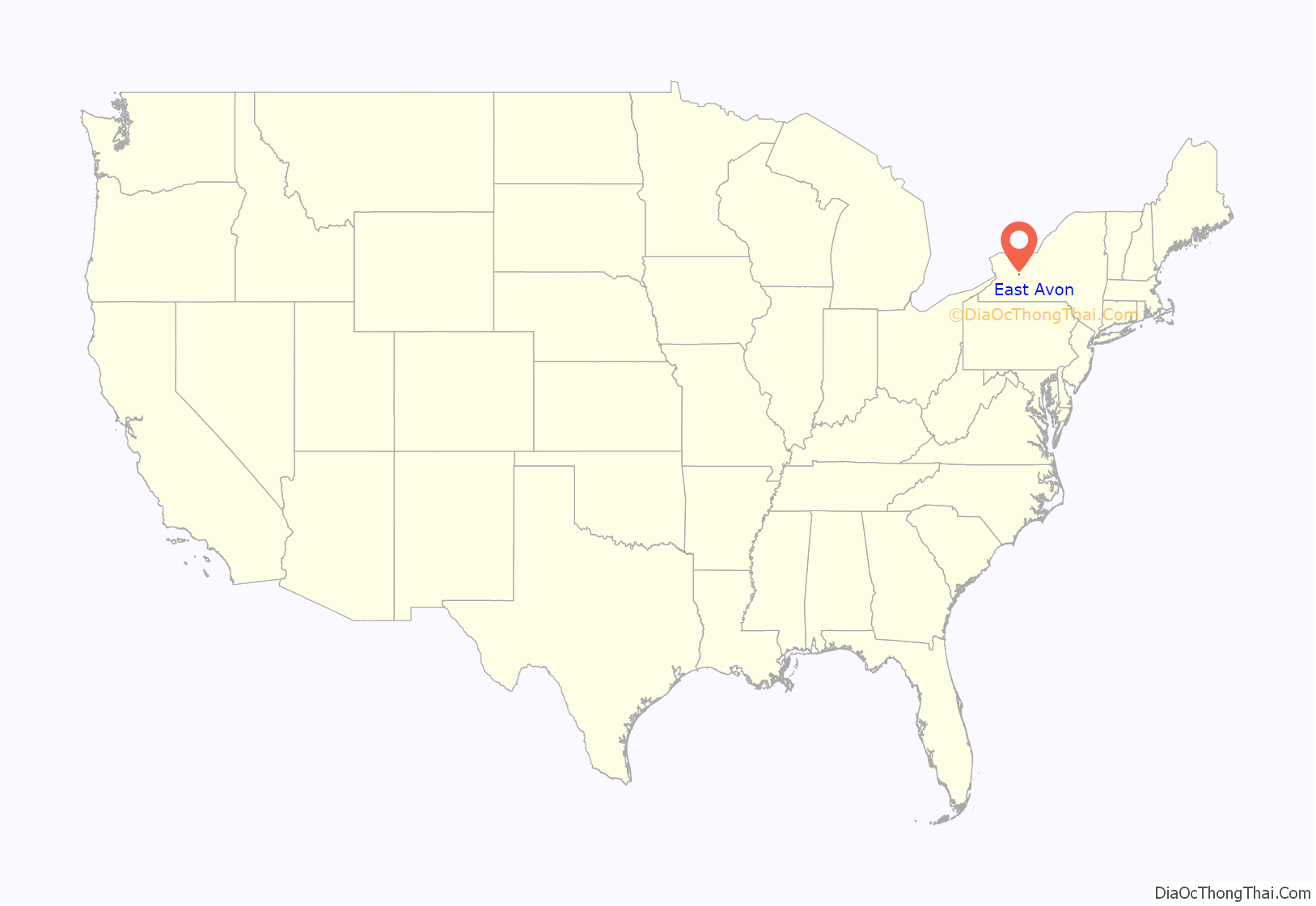
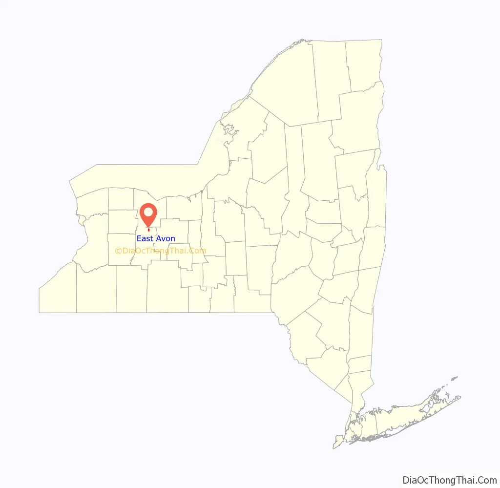
East Avon location map. Where is East Avon CDP?
History
The First Presbyterian Church of Avon, at the northeast corner of the central intersection in the hamlet, was added to the National Register of Historic Places in 2005.
East Avon Road Map

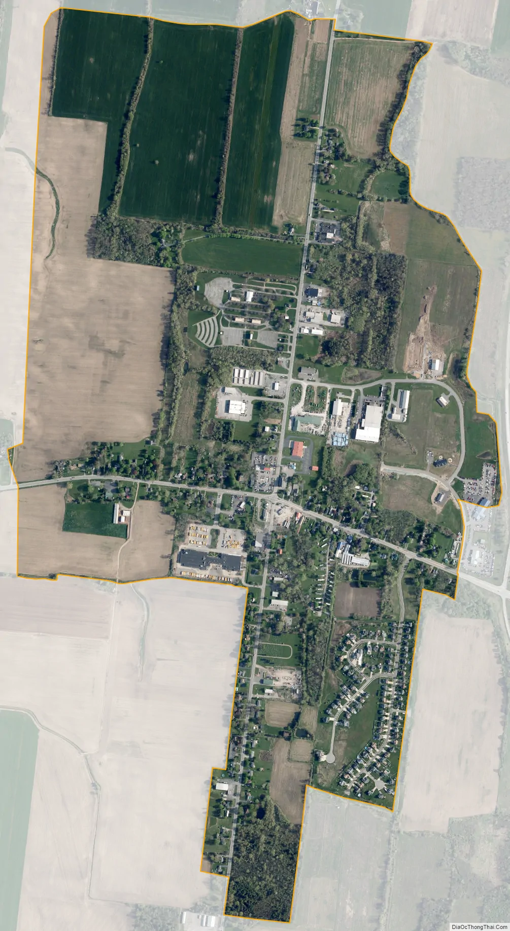
East Avon city Satellite Map
Geography
East Avon is in northern Livingston County, in the northeastern part of the town of Avon. U.S. Route 20 and New York State Route 5 pass concurrently through the community, leading west 2 miles (3 km) to the village of Avon and east 5 miles (8 km) to Lima. State Route 15 crosses Routes 20 and 5 in the center of East Avon, leading south 5 miles (8 km) to Lakeville and north 19 miles (31 km) to Rochester. Interstate 390 passes 0.5 miles (0.8 km) east of East Avon, with access from Exit 10 onto Routes 20 and 5. I-390 leads north to Rochester and south 54 miles (87 km) to Interstate 86 in Avoca.
According to the U.S. Census Bureau, the East Avon CDP has an area of 1.3 square miles (3.4 km), all land.
See also
Map of New York State and its subdivision:- Albany
- Allegany
- Bronx
- Broome
- Cattaraugus
- Cayuga
- Chautauqua
- Chemung
- Chenango
- Clinton
- Columbia
- Cortland
- Delaware
- Dutchess
- Erie
- Essex
- Franklin
- Fulton
- Genesee
- Greene
- Hamilton
- Herkimer
- Jefferson
- Kings
- Lake Ontario
- Lewis
- Livingston
- Madison
- Monroe
- Montgomery
- Nassau
- New York
- Niagara
- Oneida
- Onondaga
- Ontario
- Orange
- Orleans
- Oswego
- Otsego
- Putnam
- Queens
- Rensselaer
- Richmond
- Rockland
- Saint Lawrence
- Saratoga
- Schenectady
- Schoharie
- Schuyler
- Seneca
- Steuben
- Suffolk
- Sullivan
- Tioga
- Tompkins
- Ulster
- Warren
- Washington
- Wayne
- Westchester
- Wyoming
- Yates
- Alabama
- Alaska
- Arizona
- Arkansas
- California
- Colorado
- Connecticut
- Delaware
- District of Columbia
- Florida
- Georgia
- Hawaii
- Idaho
- Illinois
- Indiana
- Iowa
- Kansas
- Kentucky
- Louisiana
- Maine
- Maryland
- Massachusetts
- Michigan
- Minnesota
- Mississippi
- Missouri
- Montana
- Nebraska
- Nevada
- New Hampshire
- New Jersey
- New Mexico
- New York
- North Carolina
- North Dakota
- Ohio
- Oklahoma
- Oregon
- Pennsylvania
- Rhode Island
- South Carolina
- South Dakota
- Tennessee
- Texas
- Utah
- Vermont
- Virginia
- Washington
- West Virginia
- Wisconsin
- Wyoming


