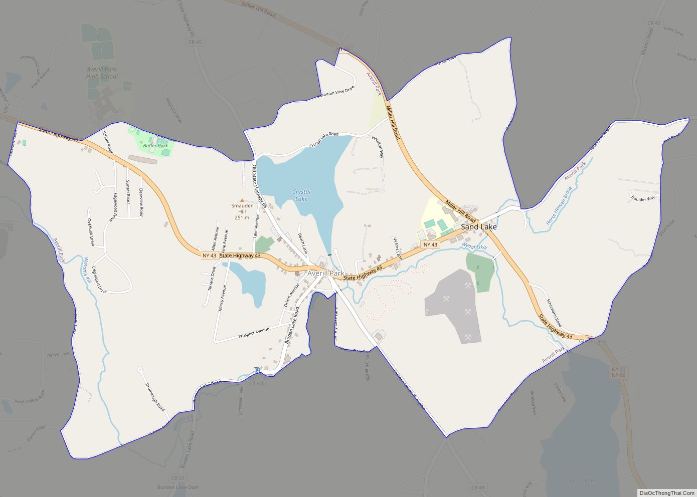
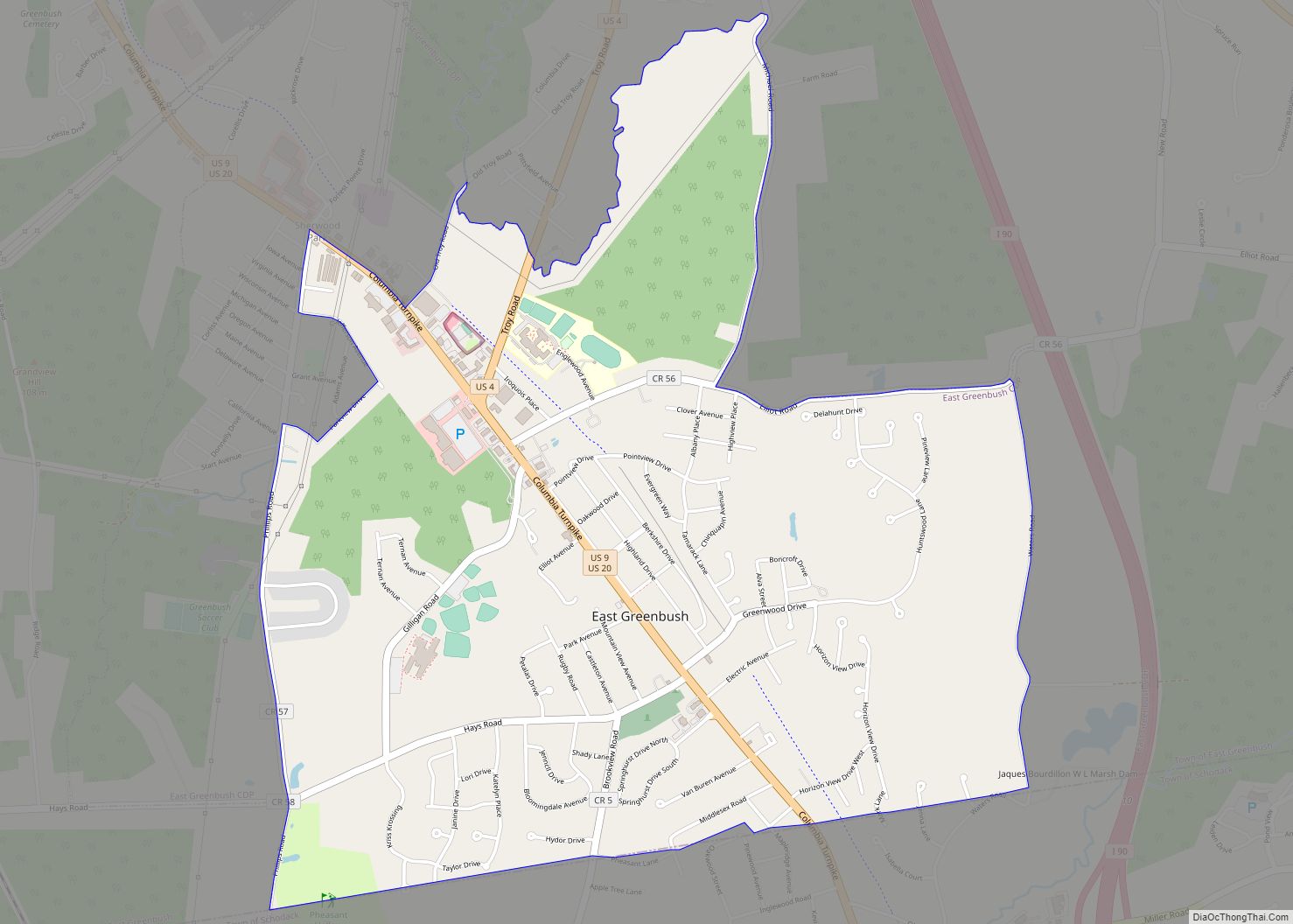
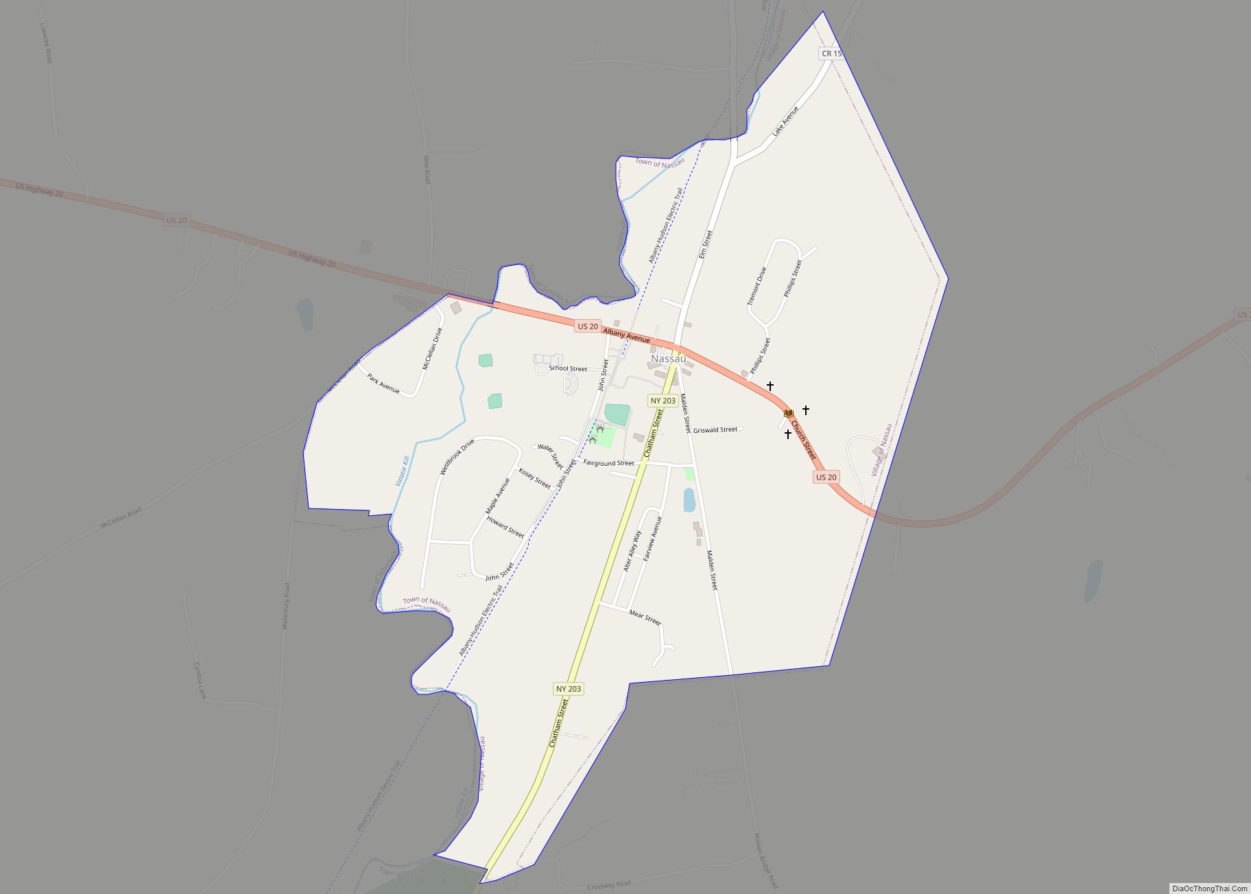
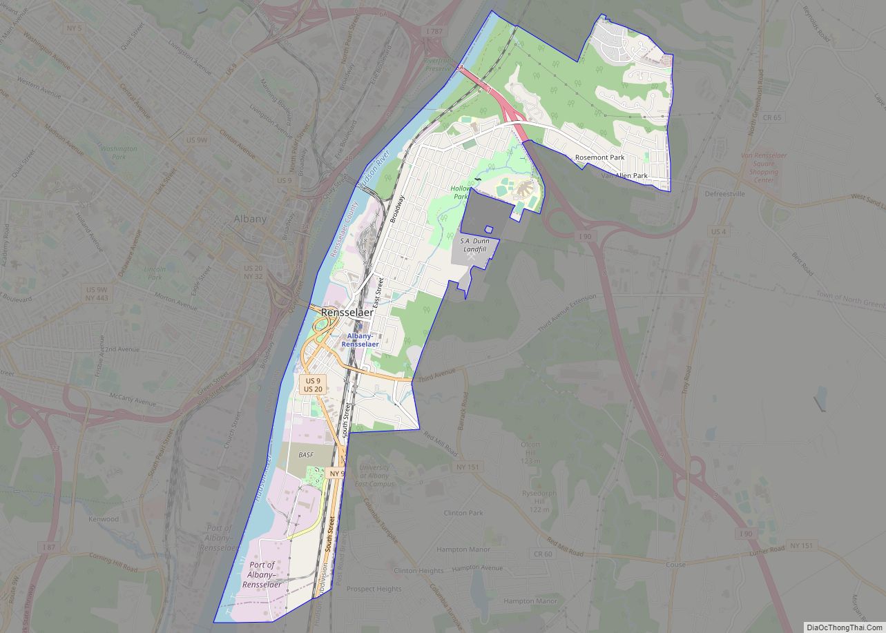
East Greenbush is a census-designated place (CDP) in Rensselaer County, New York, United States. The population was 4,487 at the 2010 census.
East Greenbush is mostly within the southern part of the town of East Greenbush, but a small section of the community extends southward into the town of Schodack.
U.S. Routes 9 and 20 pass through the community, and the western end of U.S. Route 4 begins immediately north of the community.
| Name: | East Greenbush CDP |
|---|---|
| LSAD Code: | 57 |
| LSAD Description: | CDP (suffix) |
| State: | New York |
| County: | Rensselaer County |
| Elevation: | 341 ft (104 m) |
| Total Area: | 3.93 sq mi (10.19 km²) |
| Land Area: | 3.92 sq mi (10.15 km²) |
| Water Area: | 0.02 sq mi (0.04 km²) |
| Total Population: | 6,266 |
| Population Density: | 1,599.69/sq mi (617.57/km²) |
| ZIP code: | 12061 |
| Area code: | 518 |
| FIPS code: | 3622106 |
| GNISfeature ID: | 0949084 |
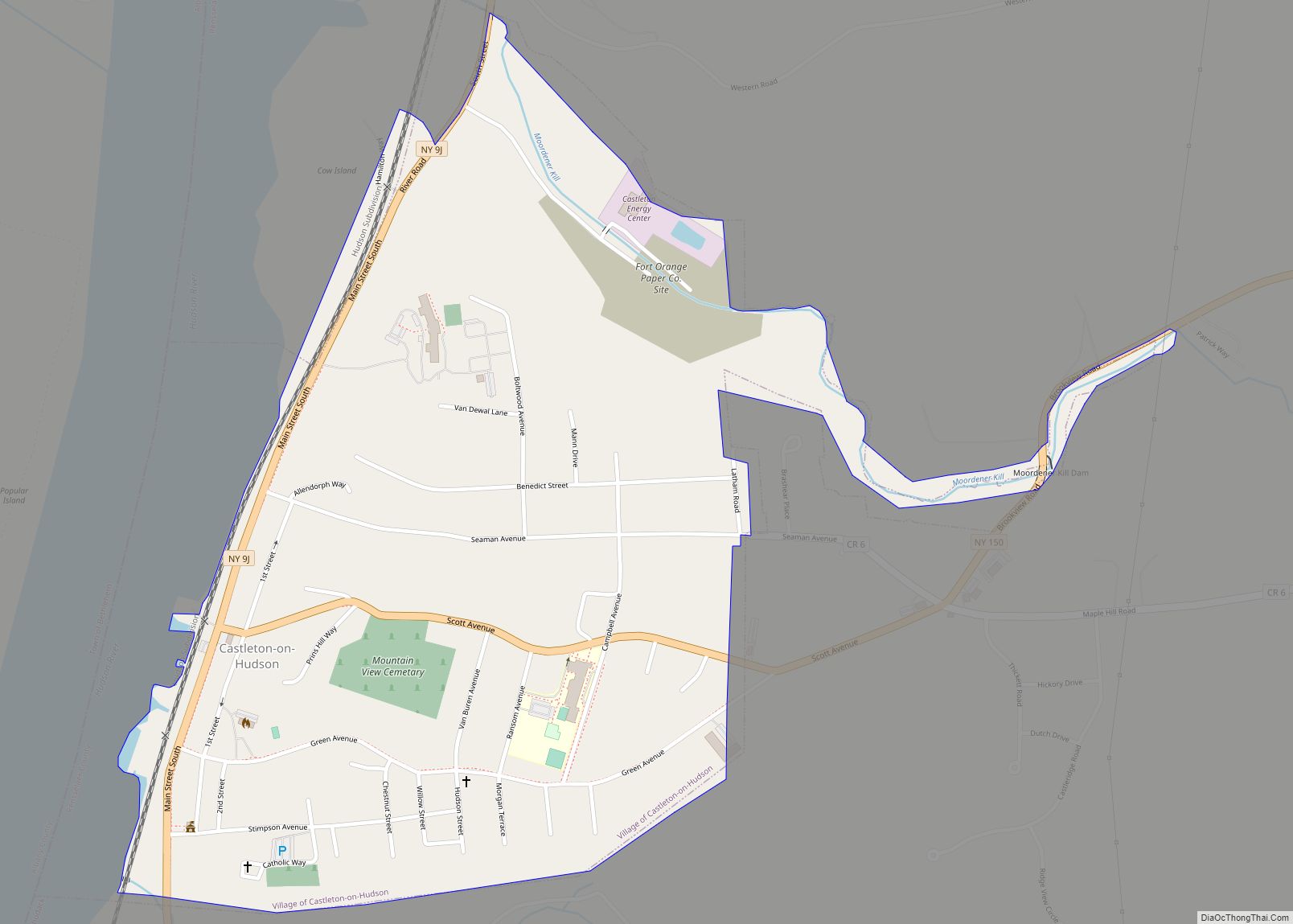
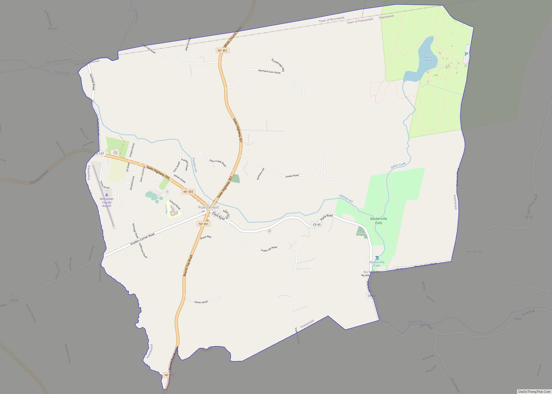
Online Interactive Map
Click on ![]() to view map in "full screen" mode.
to view map in "full screen" mode.
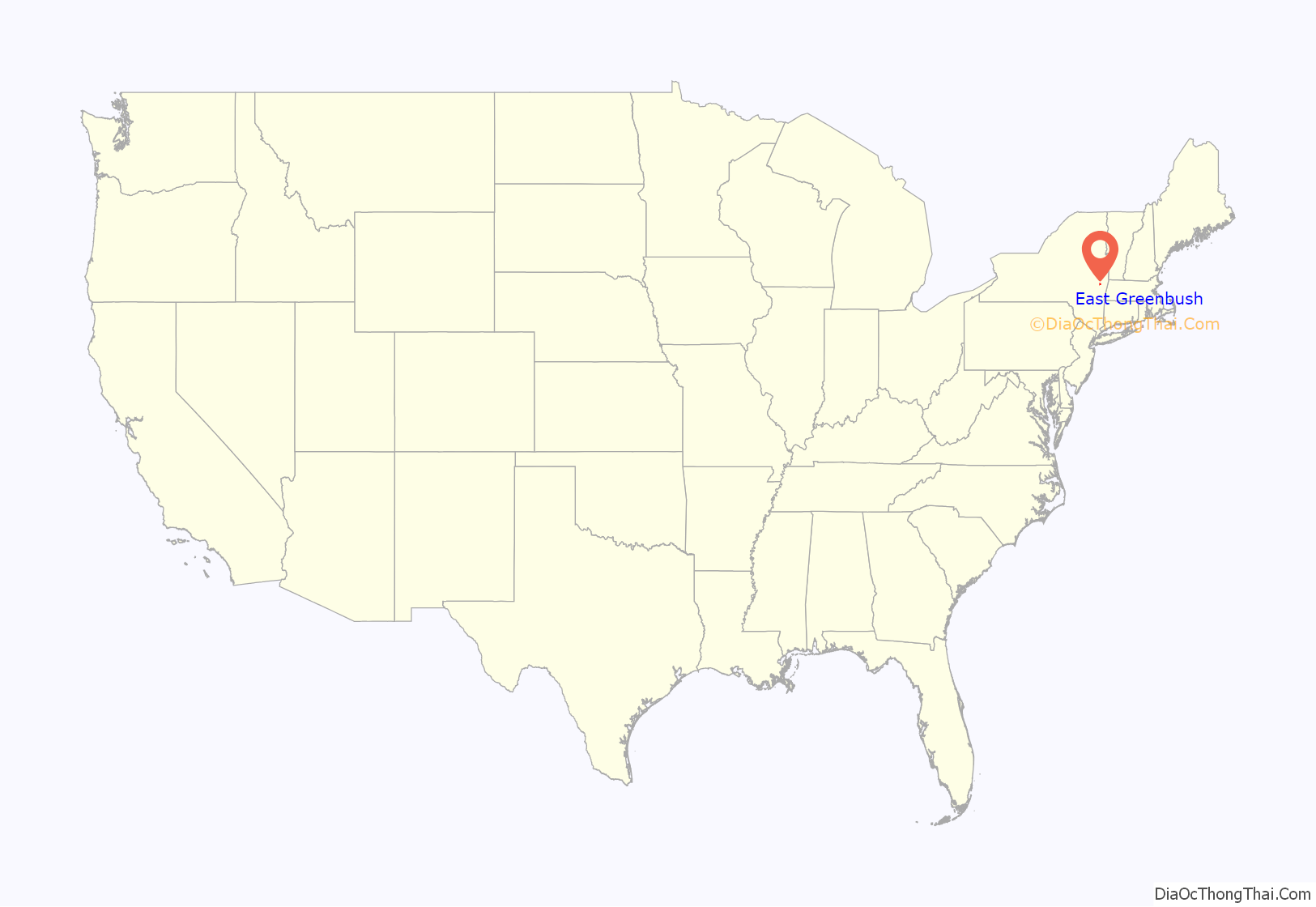
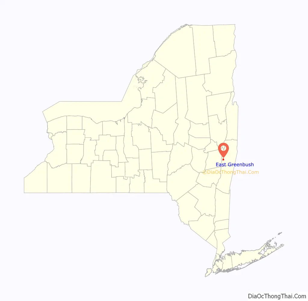
East Greenbush location map. Where is East Greenbush CDP?
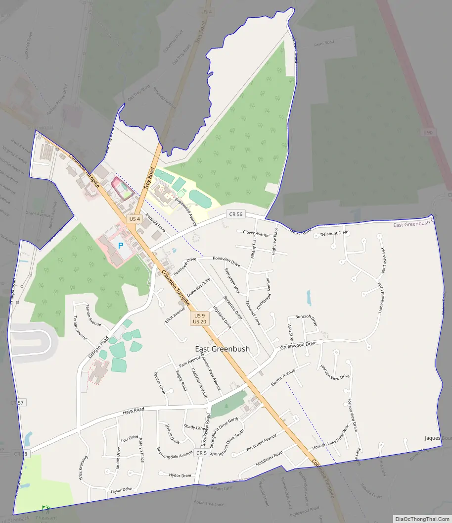
East Greenbush Road Map
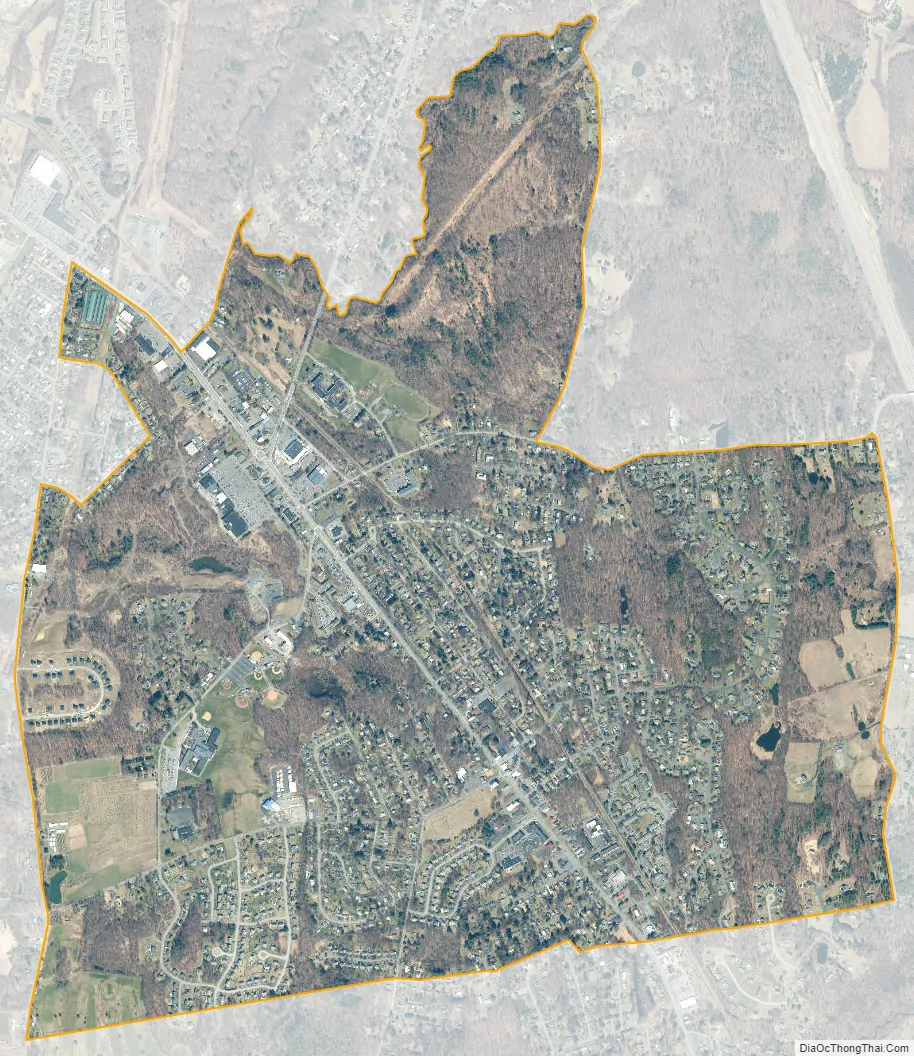
East Greenbush city Satellite Map
Geography
East Greenbush is located at 42°35′33″N 73°42′8″W / 42.59250°N 73.70222°W / 42.59250; -73.70222 (42.59263, -73.702402).
According to the United States Census Bureau, the CDP has a total area of 2.7 square miles (6.9 km), all land.
See also
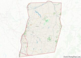
Map of New York State and its subdivision:- Albany
- Allegany
- Bronx
- Broome
- Cattaraugus
- Cayuga
- Chautauqua
- Chemung
- Chenango
- Clinton
- Columbia
- Cortland
- Delaware
- Dutchess
- Erie
- Essex
- Franklin
- Fulton
- Genesee
- Greene
- Hamilton
- Herkimer
- Jefferson
- Kings
- Lake Ontario
- Lewis
- Livingston
- Madison
- Monroe
- Montgomery
- Nassau
- New York
- Niagara
- Oneida
- Onondaga
- Ontario
- Orange
- Orleans
- Oswego
- Otsego
- Putnam
- Queens
- Rensselaer
- Richmond
- Rockland
- Saint Lawrence
- Saratoga
- Schenectady
- Schoharie
- Schuyler
- Seneca
- Steuben
- Suffolk
- Sullivan
- Tioga
- Tompkins
- Ulster
- Warren
- Washington
- Wayne
- Westchester
- Wyoming
- Yates
- Alabama
- Alaska
- Arizona
- Arkansas
- California
- Colorado
- Connecticut
- Delaware
- District of Columbia
- Florida
- Georgia
- Hawaii
- Idaho
- Illinois
- Indiana
- Iowa
- Kansas
- Kentucky
- Louisiana
- Maine
- Maryland
- Massachusetts
- Michigan
- Minnesota
- Mississippi
- Missouri
- Montana
- Nebraska
- Nevada
- New Hampshire
- New Jersey
- New Mexico
- New York
- North Carolina
- North Dakota
- Ohio
- Oklahoma
- Oregon
- Pennsylvania
- Rhode Island
- South Carolina
- South Dakota
- Tennessee
- Texas
- Utah
- Vermont
- Virginia
- Washington
- West Virginia
- Wisconsin
- Wyoming