East Hills is a village in Nassau County, on the North Shore of Long Island, in New York, United States. It is considered part of the Greater Roslyn area, which is anchored by the Incorporated Village of Roslyn. The population was 6,955 at the 2010 census.
The Incorporated Village of East Hills is located primarily within the Town of North Hempstead, with the exception being a small section of the village’s northeastern corner, located within the Town of Oyster Bay.
| Name: | East Hills village |
|---|---|
| LSAD Code: | 47 |
| LSAD Description: | village (suffix) |
| State: | New York |
| County: | Nassau County |
| Incorporated: | June 24, 1931 |
| Elevation: | 187 ft (57 m) |
| Total Area: | 2.28 sq mi (5.90 km²) |
| Land Area: | 2.28 sq mi (5.90 km²) |
| Water Area: | 0.00 sq mi (0.00 km²) |
| Total Population: | 7,284 |
| Population Density: | 3,196.14/sq mi (1,233.91/km²) |
| FIPS code: | 3622260 |
| GNISfeature ID: | 0949124 |
| Website: | www.villageofeasthills.org |
Online Interactive Map
Click on ![]() to view map in "full screen" mode.
to view map in "full screen" mode.
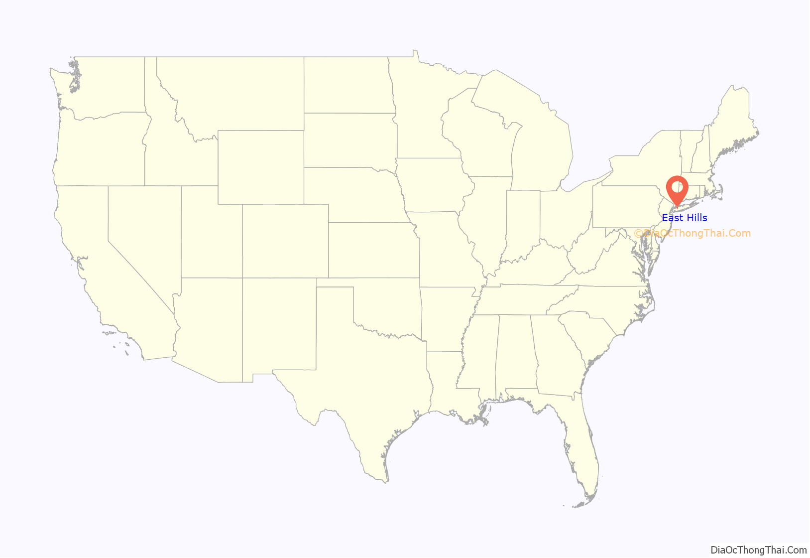
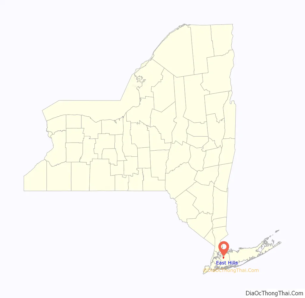
East Hills location map. Where is East Hills village?
History
Before the village
In 1643, John Carman and Robert Fordham sailed across the Long Island Sound from Stamford, Connecticut and purchased the land that is now occupied by the Towns of Hempstead and North Hempstead from the Marsappeaque, Matinecock, Mericock, and Rockoway Native Americans. This land included what is now East Hills.
For a long time, much of what now is East Hills was home to a few wealthy families. In 1898, Clarence and Katherine Mackay settled in present-day East Hills and would eventually commission Stanford White to design their mansion, Harbor Hill. In 1924, the Prince of Wales, who later abdicated the throne of England to marry Mrs. Simpson, was entertained at the Mackay estate. Aviation pioneer Charles A. Lindbergh even rested at the Mackay estate in 1927 after returning to the United States following his historic solo flight to Paris, France.
Village of East Hills (1931 – present)
The Village of East Hills was incorporated on June 24, 1931, and its first election was held a couple weeks later on July 8 in barns at the Mackay estate. Reasons for incorporating included the desire by many locals to be excluded from paying taxes for sanitary sewer systems, highways, etc., the desire to not be part of the Roslyn Sewer District and to keep businesses out, and to maintain home rule powers. Many of the proposals which the locals were against were proposed when Roslyn wanted to incorporate, as early plans called for that village’s proposed boundaries to include what would become East Hills. As such, the residents decided to incorporate East Hills as a separate village.
Mr. Willets was elected as Mayor and John Mackay, Stephen Willets, Ellen A. Hennessy, and Catherine Hechler were elected as the Village Trustees. Charles Hechler, the husband of Mrs. Hechler, was appointed as the Village Clerk.
The name of East Hills was chosen based on its geography and location. The “East” reflects the village’s geographic location adjacent to and east of Roslyn, and the “Hills” reflects the hilly geography of the village.
The post-war era ushered in a huge population boom and suburbanization throughout the United States, which led to the construction of many new developments in the Village of East Hills. One of these developments, Strathmore, was developed by Levitt & Sons in the late 1940s.
Another notable development built during this time, the Country Estates subdivision, was developed by Country Estates, Incorporated over Clarence Mackay’s former estate. Prior to building the Country Estates in East Hills, the firm developed the Flower Hill Country Estates subdivision in nearby Flower Hill.
A third notable development, Norgate, was developed by Gustav A. Mezger and the Homeguard Realty Corporation.
Additionally, in order for the Roslyn Union Free School District to adequately serve the influx of families, the Moore & Hutchins-designed East Hills Elementary School was opened between the Canterbury Woods and Fairfield Park developments in 1953.
On Labor Day 2006, the Park at East Hills opened on the land previously occupied by the Roslyn Air National Guard Station. It has a pool, nature walks, senior facilities, and tennis and basketball courts. The construction of the park was financed through the sale of bonds; carrying and operating costs are paid through taxes.
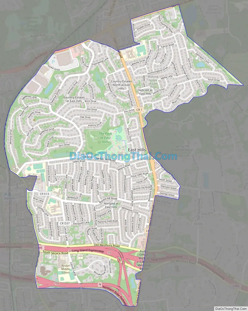
East Hills Road Map
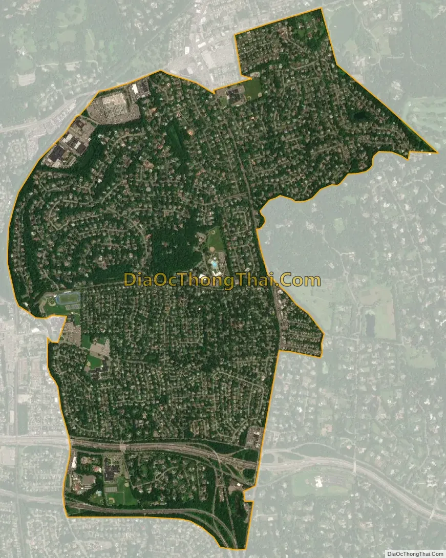
East Hills city Satellite Map
Geography
According to the United States Census Bureau, the village has a total area of 2.28 square miles (5.9 km), all land.
The portions of the village on Harbor Hill, the former site of Clarence Mackay’s estate of the same name, are among the highest areas in Nassau County and Long Island, as a whole.
Additionally, the Harbor Hill Moraine is named for this hill, as it is one of the terminal moraine’s most prominent and famous topographic features.
The village gained territory from the adjacent Incorporated Village of Brookville between the 1960 census and the 1970 census; this small area is the portion of the village within the Town of Oyster Bay.
See also
Map of New York State and its subdivision:- Albany
- Allegany
- Bronx
- Broome
- Cattaraugus
- Cayuga
- Chautauqua
- Chemung
- Chenango
- Clinton
- Columbia
- Cortland
- Delaware
- Dutchess
- Erie
- Essex
- Franklin
- Fulton
- Genesee
- Greene
- Hamilton
- Herkimer
- Jefferson
- Kings
- Lake Ontario
- Lewis
- Livingston
- Madison
- Monroe
- Montgomery
- Nassau
- New York
- Niagara
- Oneida
- Onondaga
- Ontario
- Orange
- Orleans
- Oswego
- Otsego
- Putnam
- Queens
- Rensselaer
- Richmond
- Rockland
- Saint Lawrence
- Saratoga
- Schenectady
- Schoharie
- Schuyler
- Seneca
- Steuben
- Suffolk
- Sullivan
- Tioga
- Tompkins
- Ulster
- Warren
- Washington
- Wayne
- Westchester
- Wyoming
- Yates
- Alabama
- Alaska
- Arizona
- Arkansas
- California
- Colorado
- Connecticut
- Delaware
- District of Columbia
- Florida
- Georgia
- Hawaii
- Idaho
- Illinois
- Indiana
- Iowa
- Kansas
- Kentucky
- Louisiana
- Maine
- Maryland
- Massachusetts
- Michigan
- Minnesota
- Mississippi
- Missouri
- Montana
- Nebraska
- Nevada
- New Hampshire
- New Jersey
- New Mexico
- New York
- North Carolina
- North Dakota
- Ohio
- Oklahoma
- Oregon
- Pennsylvania
- Rhode Island
- South Carolina
- South Dakota
- Tennessee
- Texas
- Utah
- Vermont
- Virginia
- Washington
- West Virginia
- Wisconsin
- Wyoming


