East Islip is a hamlet and CDP in the Town of Islip, Suffolk County, New York, United States. At the time of the 2010 census, the CDP had a population of 14,475.
| Name: | East Islip CDP |
|---|---|
| LSAD Code: | 57 |
| LSAD Description: | CDP (suffix) |
| State: | New York |
| County: | Suffolk County |
| Elevation: | 16 ft (5 m) |
| Total Area: | 4.42 sq mi (11.45 km²) |
| Land Area: | 3.95 sq mi (10.23 km²) |
| Water Area: | 0.47 sq mi (1.22 km²) |
| Total Population: | 13,931 |
| Population Density: | 3,525.94/sq mi (1,361.35/km²) |
| ZIP code: | 11730 |
| Area code: | 631 |
| FIPS code: | 3622315 |
| GNISfeature ID: | 0949137 |
Online Interactive Map
Click on ![]() to view map in "full screen" mode.
to view map in "full screen" mode.
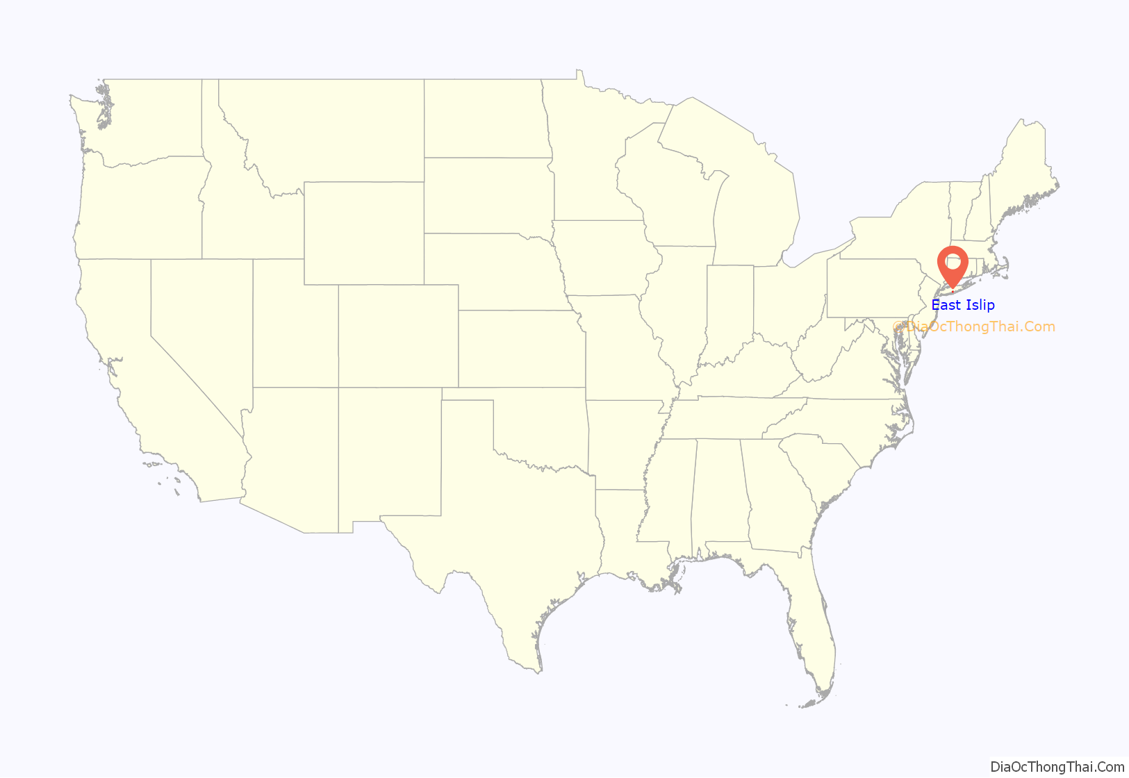
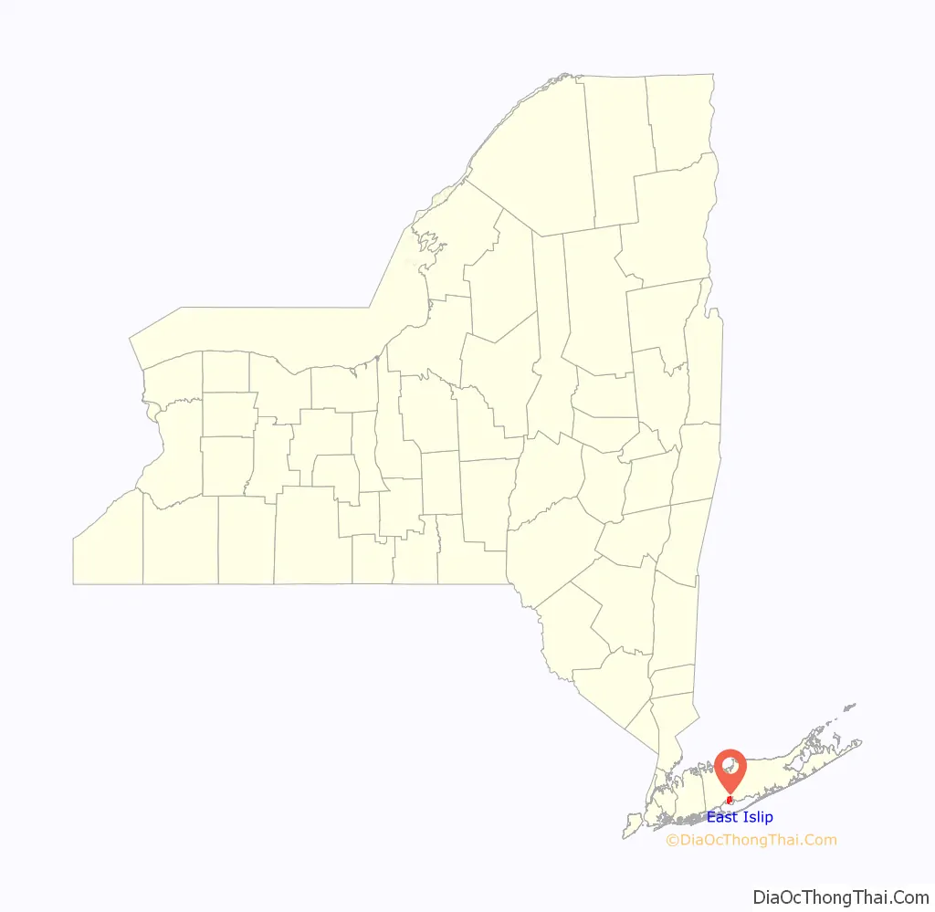
East Islip location map. Where is East Islip CDP?
History
Originally referred to as “East of Islip”, the name was acquired in 1890 from the estate of William Nicoll, an English aristocrat who purchased the surrounding land in 1683 to erect a family residence. Nicoll’s purchase comprised 51,000 acres (210 km) from the Secatogue Indians, reaching as far as Bayport to the east, Babylon to the west and Ronkonkoma to the north. His mansion, Islip Grange, named after his family’s ancestral estate at Northampshire, England, stood near the shoreline of what is now Heckscher State Park.
East Islip, as well as many hamlets along Long Island’s south shore, was once an enclave for some of the nation’s wealthiest families. Its estates at one time included the Hollins, Gulden, and Knapp estates, among others. An original estate mansion, Brookwood Hall, has passed from its last private owners, the Thorne family (originally of Great Neck during the Dutch colonial era) and now serves as a municipal building for the Town of Islip. The Sullivan estate became the home of the Hewlett School, a private boarding school which closed shortly after the turn of the century. Some estate and early farmlands were donated to the Roman Catholic church and make up the current grounds of St Mary’s of East Islip, which includes a private elementary and middle school, in addition to church and other parish buildings. The original Westbrook farm on the boundary between East Islip and Oakdale, near the Bayard Cutting Arboretum, has ceased operations, and its fields are now the home of East Islip Soccer, near the fields set aside for the Little League of the Islips.
Today, modern East Islip is composed of much smaller, yet affluent communities and few estates. Many of these newer communities were built on the land that was once part of former estates that were sold off, most notably the estate of Percy G. Williams. The Moorings, an opulent waterfront guard-gated private community, is one of the hamlet’s premier neighborhoods. Other neighborhoods within the hamlet include Deer Run and Country Village as well as the Beecher Estates.
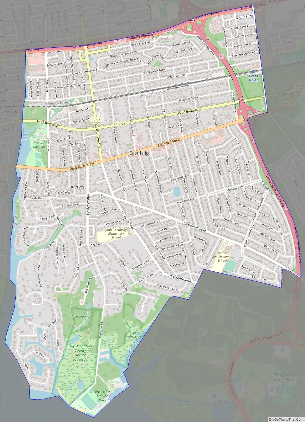
East Islip Road Map
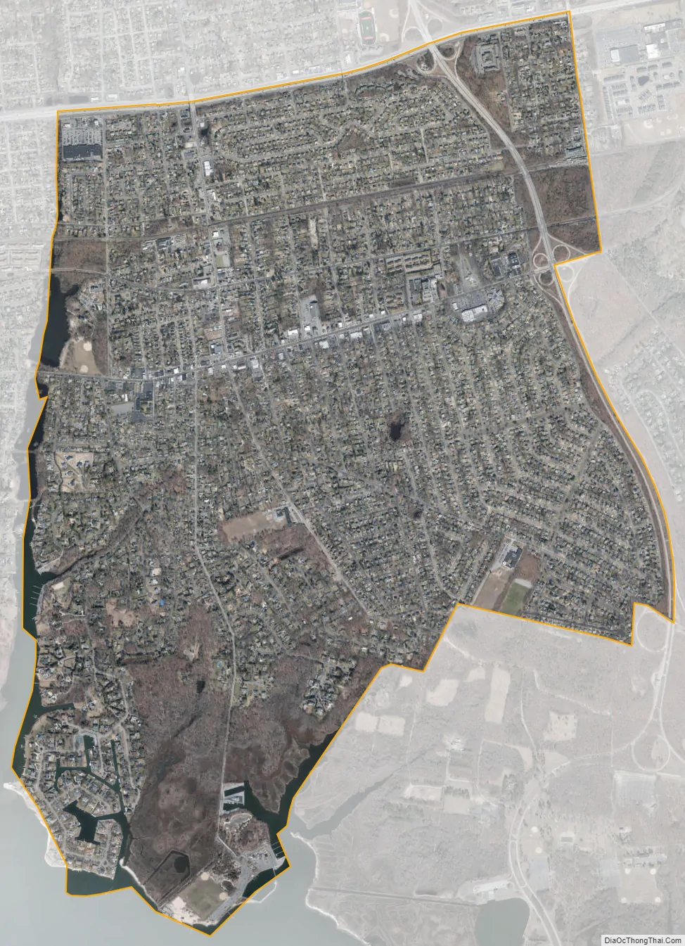
East Islip city Satellite Map
Geography
East Islip is located at 40°43′55″N 73°11′6″W / 40.73194°N 73.18500°W / 40.73194; -73.18500 (40.731938, -73.185135).
According to the United States Census Bureau, the CDP has a total area of 4.1 square miles (10.5 km), of which 3.9 square miles (10.2 km) is land and 0.12 square miles (0.3 km), or 2.68%, is water.
East Islip borders four other hamlets: Islip is to the west, Islip Terrace is to the north, North Great River is to the northeast, and Great River is to the east. The Great South Bay is to the south. It is the home of an experimental shellfish hatchery operated by the Town of Islip, near the town-operated public beach on the bay.
See also
Map of New York State and its subdivision:- Albany
- Allegany
- Bronx
- Broome
- Cattaraugus
- Cayuga
- Chautauqua
- Chemung
- Chenango
- Clinton
- Columbia
- Cortland
- Delaware
- Dutchess
- Erie
- Essex
- Franklin
- Fulton
- Genesee
- Greene
- Hamilton
- Herkimer
- Jefferson
- Kings
- Lake Ontario
- Lewis
- Livingston
- Madison
- Monroe
- Montgomery
- Nassau
- New York
- Niagara
- Oneida
- Onondaga
- Ontario
- Orange
- Orleans
- Oswego
- Otsego
- Putnam
- Queens
- Rensselaer
- Richmond
- Rockland
- Saint Lawrence
- Saratoga
- Schenectady
- Schoharie
- Schuyler
- Seneca
- Steuben
- Suffolk
- Sullivan
- Tioga
- Tompkins
- Ulster
- Warren
- Washington
- Wayne
- Westchester
- Wyoming
- Yates
- Alabama
- Alaska
- Arizona
- Arkansas
- California
- Colorado
- Connecticut
- Delaware
- District of Columbia
- Florida
- Georgia
- Hawaii
- Idaho
- Illinois
- Indiana
- Iowa
- Kansas
- Kentucky
- Louisiana
- Maine
- Maryland
- Massachusetts
- Michigan
- Minnesota
- Mississippi
- Missouri
- Montana
- Nebraska
- Nevada
- New Hampshire
- New Jersey
- New Mexico
- New York
- North Carolina
- North Dakota
- Ohio
- Oklahoma
- Oregon
- Pennsylvania
- Rhode Island
- South Carolina
- South Dakota
- Tennessee
- Texas
- Utah
- Vermont
- Virginia
- Washington
- West Virginia
- Wisconsin
- Wyoming


