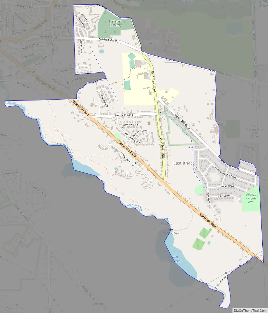
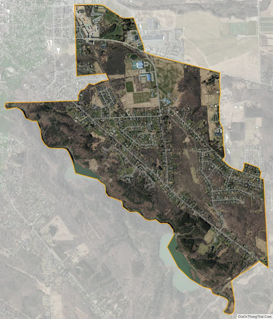
East Ithaca is a suburban community (and census-designated place) in Tompkins County, New York, United States. The population was 2,231 at the 2010 census.
East Ithaca is a suburb of the City of Ithaca on its eastern city line and in the Town of Ithaca. East Ithaca is immediately south of the main campus of Cornell University.
| Name: | East Ithaca CDP |
|---|---|
| LSAD Code: | 57 |
| LSAD Description: | CDP (suffix) |
| State: | New York |
| County: | Tompkins County |
| Elevation: | 804 ft (245 m) |
| Total Area: | 2.19 sq mi (5.68 km²) |
| Land Area: | 2.14 sq mi (5.55 km²) |
| Water Area: | 0.05 sq mi (0.13 km²) |
| Total Population: | 3,175 |
| Population Density: | 1,480.88/sq mi (571.79/km²) |
| FIPS code: | 3622326 |
| GNISfeature ID: | 0949140 |
Online Interactive Map
Click on ![]() to view map in "full screen" mode.
to view map in "full screen" mode.
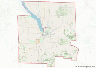
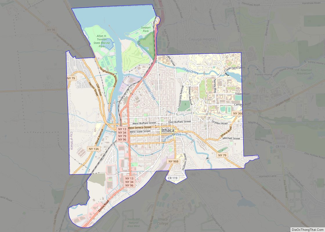
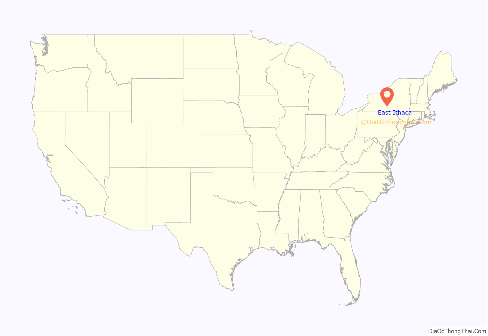
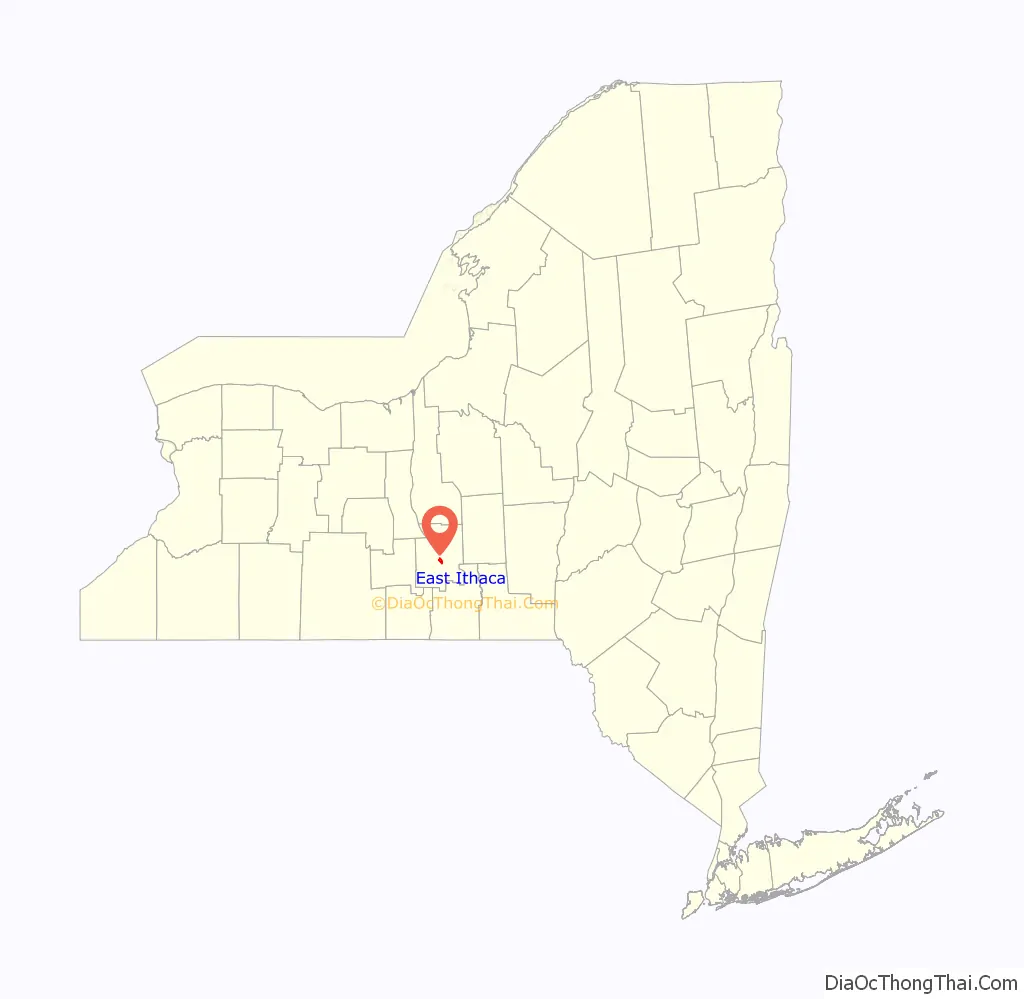
East Ithaca location map. Where is East Ithaca CDP?
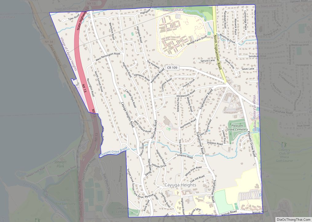
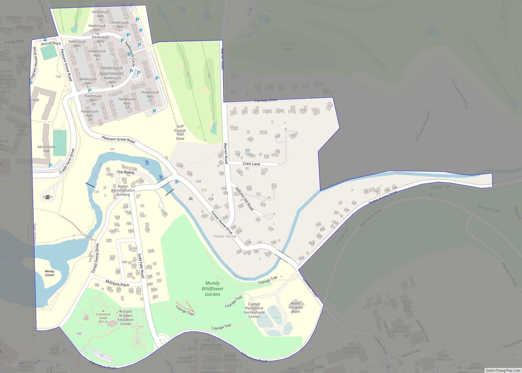
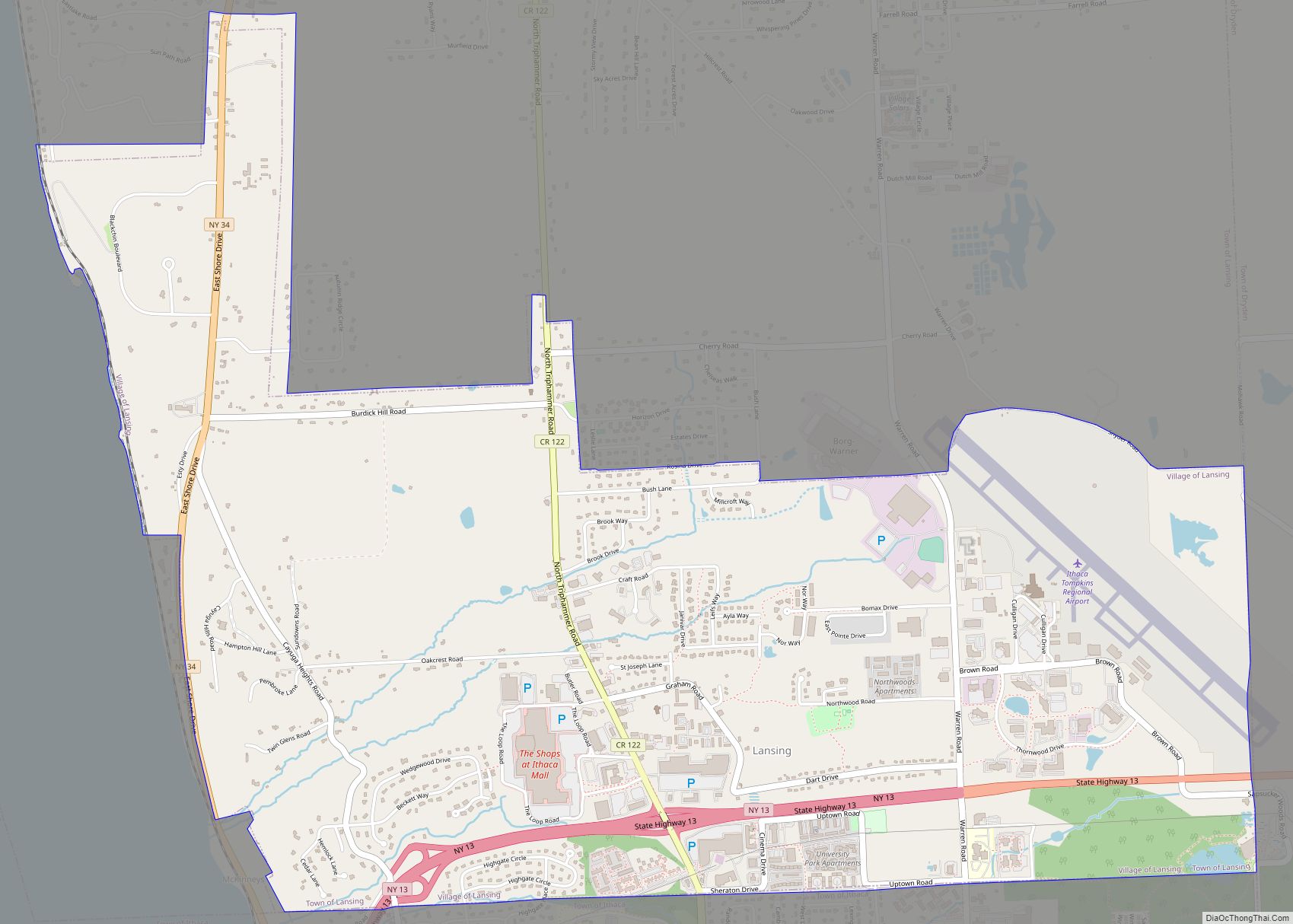
East Ithaca Road Map
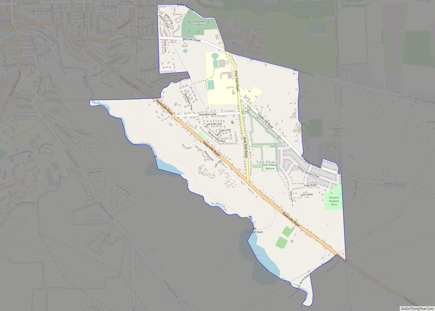
East Ithaca city Satellite Map
Geography
East Ithaca is located at 42°25′36″N 76°27′33″W / 42.42667°N 76.45917°W / 42.42667; -76.45917 (42.426717, -76.459066).
According to the United States Census Bureau, the CDP has a total area of 1.8 square miles (4.7 km), of which, 1.7 square miles (4.4 km) of it is land and 0.04 square miles (0.10 km) of it (2.26%) is water.
East Ithaca is near the south end of Cayuga Lake, just east of the City of Ithaca. While known as East Ithaca, it is also considered to be part of East Hill, a designation shared with the contiguous area within the City of Ithaca
See also
Map of New York State and its subdivision:- Albany
- Allegany
- Bronx
- Broome
- Cattaraugus
- Cayuga
- Chautauqua
- Chemung
- Chenango
- Clinton
- Columbia
- Cortland
- Delaware
- Dutchess
- Erie
- Essex
- Franklin
- Fulton
- Genesee
- Greene
- Hamilton
- Herkimer
- Jefferson
- Kings
- Lake Ontario
- Lewis
- Livingston
- Madison
- Monroe
- Montgomery
- Nassau
- New York
- Niagara
- Oneida
- Onondaga
- Ontario
- Orange
- Orleans
- Oswego
- Otsego
- Putnam
- Queens
- Rensselaer
- Richmond
- Rockland
- Saint Lawrence
- Saratoga
- Schenectady
- Schoharie
- Schuyler
- Seneca
- Steuben
- Suffolk
- Sullivan
- Tioga
- Tompkins
- Ulster
- Warren
- Washington
- Wayne
- Westchester
- Wyoming
- Yates
- Alabama
- Alaska
- Arizona
- Arkansas
- California
- Colorado
- Connecticut
- Delaware
- District of Columbia
- Florida
- Georgia
- Hawaii
- Idaho
- Illinois
- Indiana
- Iowa
- Kansas
- Kentucky
- Louisiana
- Maine
- Maryland
- Massachusetts
- Michigan
- Minnesota
- Mississippi
- Missouri
- Montana
- Nebraska
- Nevada
- New Hampshire
- New Jersey
- New Mexico
- New York
- North Carolina
- North Dakota
- Ohio
- Oklahoma
- Oregon
- Pennsylvania
- Rhode Island
- South Carolina
- South Dakota
- Tennessee
- Texas
- Utah
- Vermont
- Virginia
- Washington
- West Virginia
- Wisconsin
- Wyoming