East Massapequa (formerly known as West Amityville) is a hamlet and census-designated place (CDP) located within the Town of Oyster Bay in Nassau County, on the South Shore of Long Island, in New York, United States. The population was 19,069 at the 2010 census.
| Name: | East Massapequa CDP |
|---|---|
| LSAD Code: | 57 |
| LSAD Description: | CDP (suffix) |
| State: | New York |
| County: | Nassau County |
| Elevation: | 13 ft (4 m) |
| Total Area: | 3.53 sq mi (9.15 km²) |
| Land Area: | 3.38 sq mi (8.75 km²) |
| Water Area: | 0.15 sq mi (0.40 km²) |
| Total Population: | 19,854 |
| Population Density: | 5,875.70/sq mi (2,268.61/km²) |
| ZIP code: | 11758 |
| Area code: | 516 |
| FIPS code: | 3622480 |
| GNISfeature ID: | 1867402 |
Online Interactive Map
Click on ![]() to view map in "full screen" mode.
to view map in "full screen" mode.
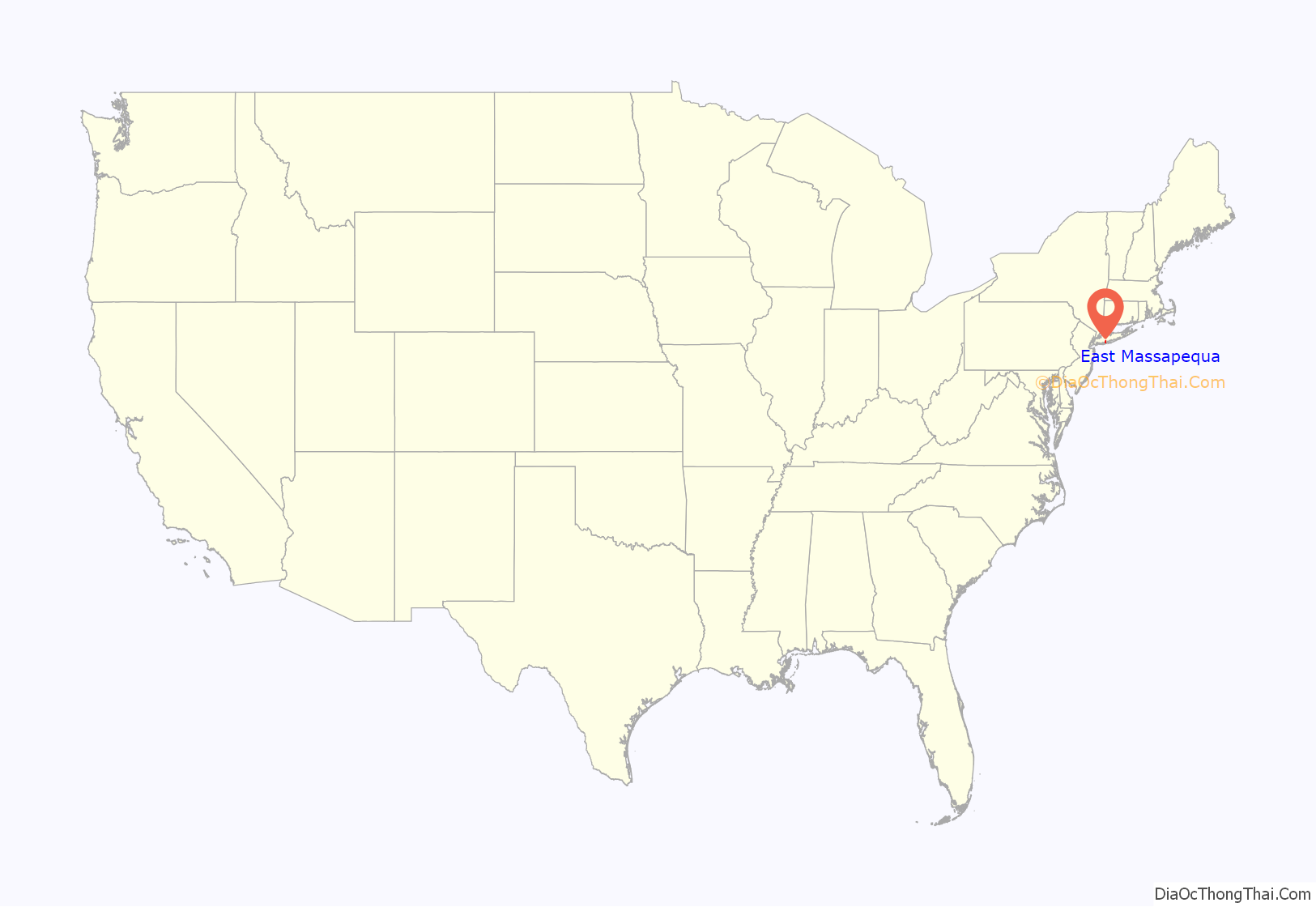
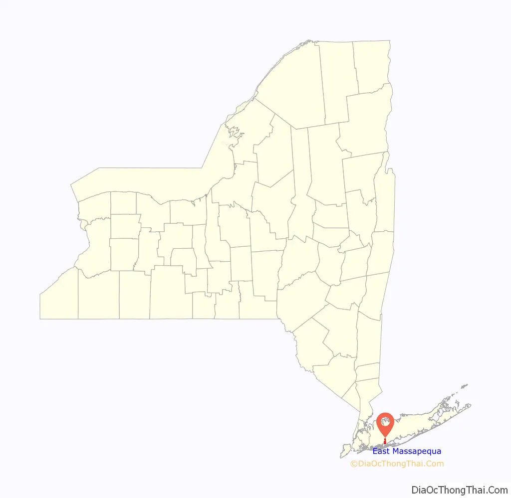
East Massapequa location map. Where is East Massapequa CDP?
History
The easternmost third of East Massapequa (within the Amityville School District) was previously the hamlet of West Amityville and started utilizing a Massapequa mailing address in 1975.
The name “East Massapequa” reflects the fact that the hamlet is located east of Massapequa and Massapequa Park.
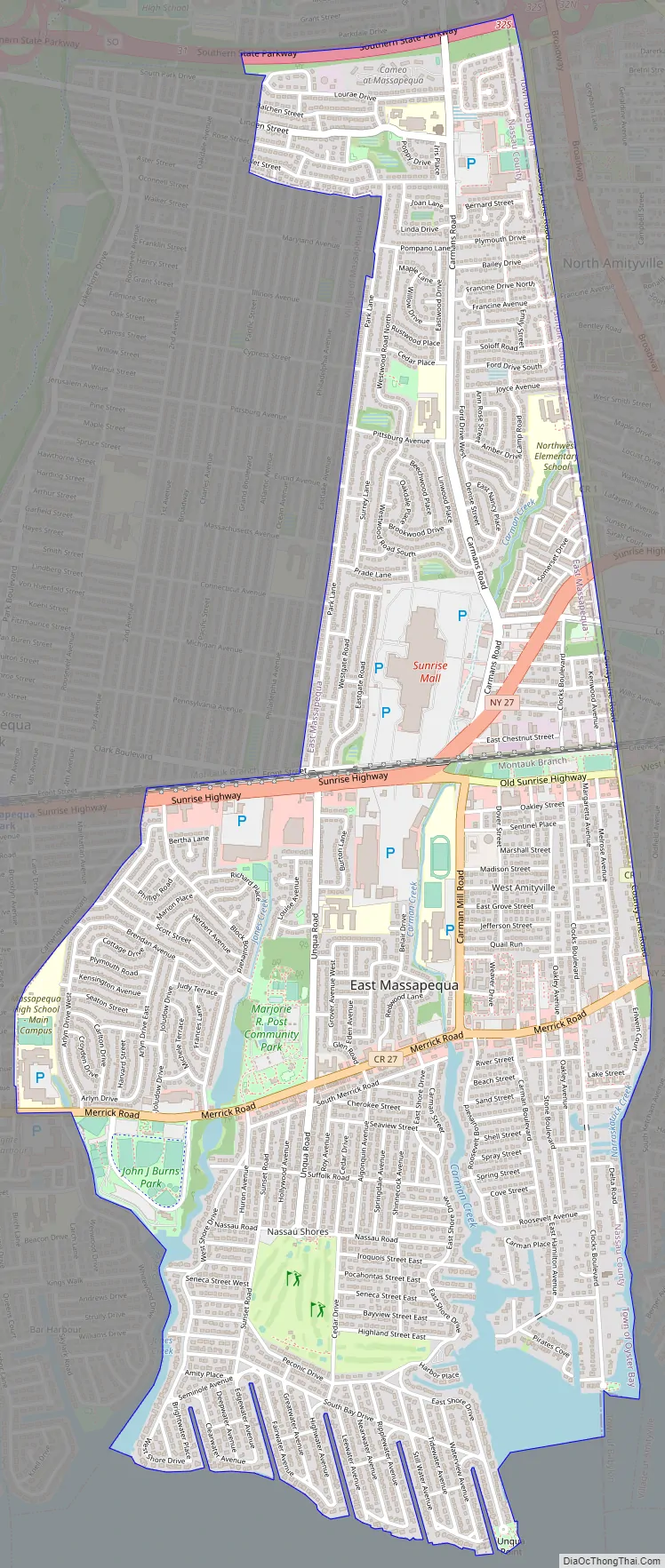
East Massapequa Road Map
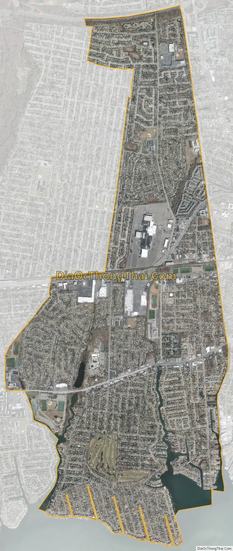
East Massapequa city Satellite Map
Geography
According to the United States Census Bureau, the CDP has a total area of 3.6 square miles (9.3 km), of which 3.5 square miles (9.1 km) is land and 0.1 square miles (0.26 km), or 2.51%, is water.
See also
Map of New York State and its subdivision:- Albany
- Allegany
- Bronx
- Broome
- Cattaraugus
- Cayuga
- Chautauqua
- Chemung
- Chenango
- Clinton
- Columbia
- Cortland
- Delaware
- Dutchess
- Erie
- Essex
- Franklin
- Fulton
- Genesee
- Greene
- Hamilton
- Herkimer
- Jefferson
- Kings
- Lake Ontario
- Lewis
- Livingston
- Madison
- Monroe
- Montgomery
- Nassau
- New York
- Niagara
- Oneida
- Onondaga
- Ontario
- Orange
- Orleans
- Oswego
- Otsego
- Putnam
- Queens
- Rensselaer
- Richmond
- Rockland
- Saint Lawrence
- Saratoga
- Schenectady
- Schoharie
- Schuyler
- Seneca
- Steuben
- Suffolk
- Sullivan
- Tioga
- Tompkins
- Ulster
- Warren
- Washington
- Wayne
- Westchester
- Wyoming
- Yates
- Alabama
- Alaska
- Arizona
- Arkansas
- California
- Colorado
- Connecticut
- Delaware
- District of Columbia
- Florida
- Georgia
- Hawaii
- Idaho
- Illinois
- Indiana
- Iowa
- Kansas
- Kentucky
- Louisiana
- Maine
- Maryland
- Massachusetts
- Michigan
- Minnesota
- Mississippi
- Missouri
- Montana
- Nebraska
- Nevada
- New Hampshire
- New Jersey
- New Mexico
- New York
- North Carolina
- North Dakota
- Ohio
- Oklahoma
- Oregon
- Pennsylvania
- Rhode Island
- South Carolina
- South Dakota
- Tennessee
- Texas
- Utah
- Vermont
- Virginia
- Washington
- West Virginia
- Wisconsin
- Wyoming


