East Meadow is a hamlet and census-designated place (CDP) in the Town of Hempstead in Nassau County, on Long Island, in New York. The population was 38,132 at the 2010 census.
Many residents commute to Manhattan, which is 30 miles (48 km) away.
| Name: | East Meadow CDP |
|---|---|
| LSAD Code: | 57 |
| LSAD Description: | CDP (suffix) |
| State: | New York |
| County: | Nassau County |
| Elevation: | 72 ft (22 m) |
| Total Area: | 6.33 sq mi (16.39 km²) |
| Land Area: | 6.30 sq mi (16.32 km²) |
| Water Area: | 0.02 sq mi (0.06 km²) |
| Total Population: | 37,796 |
| Population Density: | 5,996.51/sq mi (2,315.31/km²) |
| ZIP code: | 11554 |
| Area code: | 516 |
| FIPS code: | 3622502 |
| GNISfeature ID: | 0973378 |
| Website: | eastmeadowchamber.com |
Online Interactive Map
Click on ![]() to view map in "full screen" mode.
to view map in "full screen" mode.
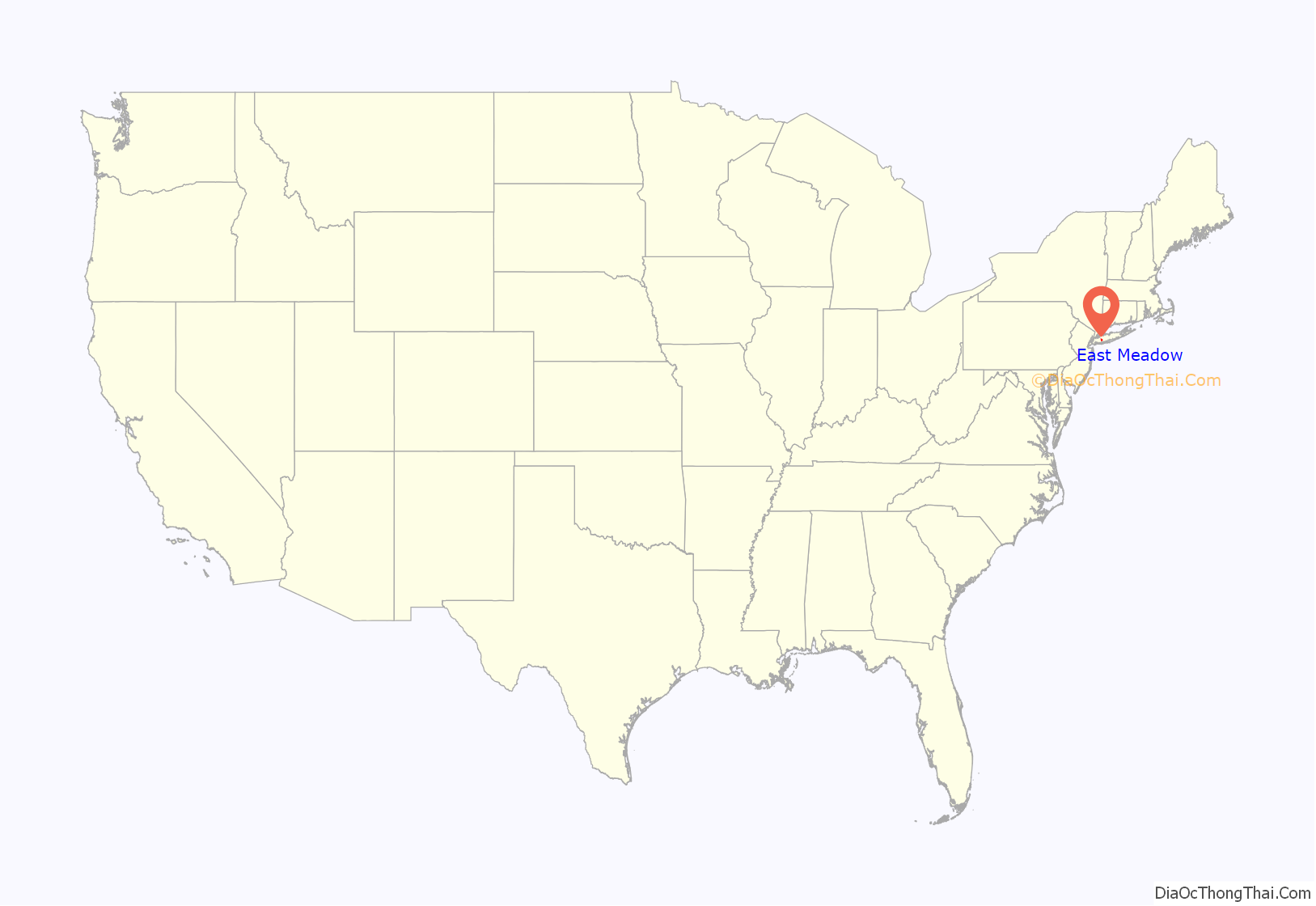
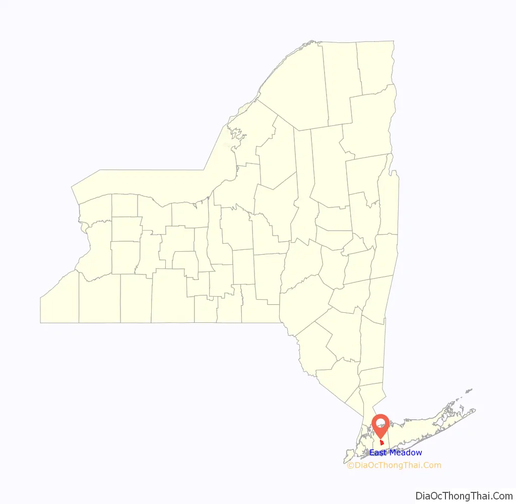
East Meadow location map. Where is East Meadow CDP?
History
In 1655, two surveyors for Hempstead reported that the “east meadow” would be suitable for grazing. The area quickly became a grazing area for cattle and later, in the 18th century, for sheep. The sheep of the East Meadow area provided the country with more than 50% of the United States’ wool needs during that time.
During the American Revolutionary War, East Meadow was occupied by British forces when they discovered the vast amounts of livestock herded there, and remained under their control until the end of the war. Two large farms existed in what is now East Meadow: the Barnum farm (Barnum Woods), and the Carman farm. It is rumored that President George Washington spent a night on the Barnum estate during a trip across Long Island in 1790. A toll booth was operated near the Carman homestead on the Hempstead Turnpike.
Another early settlement was located near what is now the intersection of East Meadow Avenue (formerly called Newbridge Avenue; not to be confused with nearby Newbridge Road) and Prospect Avenue.
The community was home to many Gilded Era estates. The old Hoeffner homestead is now the site of Veterans Memorial park, and East Meadow’s Post Office. The Barnum estate was rented by the Hoeffner family in 1914. Part of the old Barnum farm is now the site of Barnum Woods Elementary School, and the main road that passes by the school, Merrick Avenue, was originally called Barnum Avenue. The Oliver and Alva Belmont (formerly Alva Vanderbilt) estate of Brookholt once stretched across several hundred acres on both sides of Front Street to the west of Merrick Avenue, and for a short while, included the Brookholt School of Agriculture for Women.
Carman Avenue is home to East Meadow High School, the Nassau County Correctional Facility, and the Nassau University Medical Center, the tallest building in Nassau County.
On March 11, 2004, President George W. Bush made a visit to East Meadow for the groundbreaking of a new memorial for the victims of the September 11, 2001 attacks.
East Meadow’s name is derived from being the meadow of Hempstead Plains east of the Meadow Brook (originally a brook, now replaced by a parkway of the same name).
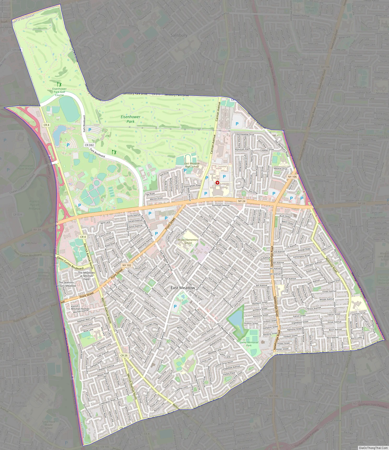
East Meadow Road Map
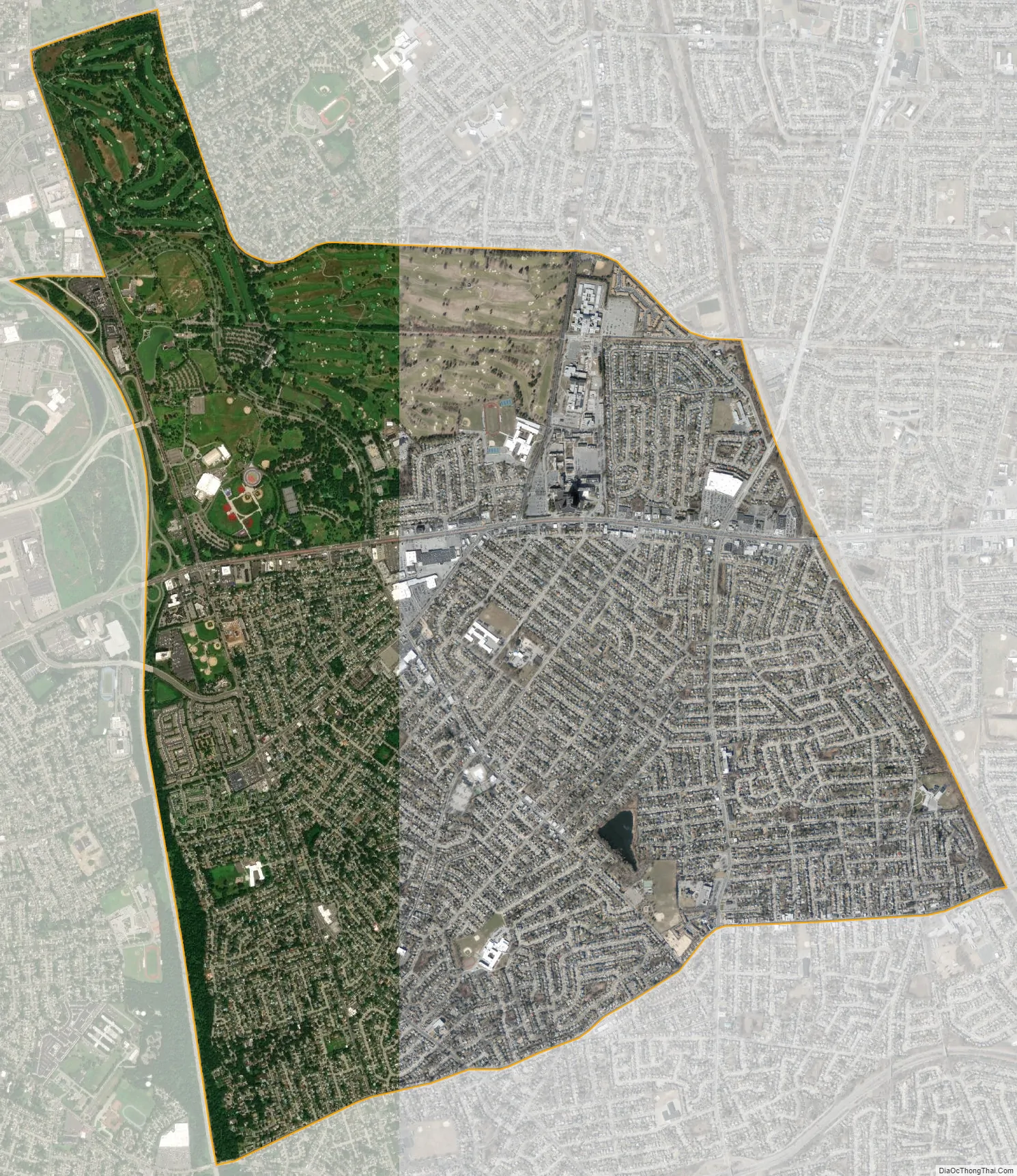
East Meadow city Satellite Map
Geography
According to the United States Census Bureau, the CDP has a total area of 6.3 square miles (16 km), of which 6.3 square miles (16 km) is land and 6.3% is water.
East Meadow is generally flat, and according to the United States Geological Survey and the United States Environmental Protection Agency, the elevation ranges from 32 feet (9.8 m) near its southwestern edge, to 82 feet (25 m) along Hempstead Turnpike to the north.
Almost no actual meadow remains in East Meadow or the Hempstead Plain, due to the boom of post-World War II development and later, unchecked suburban sprawl.
See also
Map of New York State and its subdivision:- Albany
- Allegany
- Bronx
- Broome
- Cattaraugus
- Cayuga
- Chautauqua
- Chemung
- Chenango
- Clinton
- Columbia
- Cortland
- Delaware
- Dutchess
- Erie
- Essex
- Franklin
- Fulton
- Genesee
- Greene
- Hamilton
- Herkimer
- Jefferson
- Kings
- Lake Ontario
- Lewis
- Livingston
- Madison
- Monroe
- Montgomery
- Nassau
- New York
- Niagara
- Oneida
- Onondaga
- Ontario
- Orange
- Orleans
- Oswego
- Otsego
- Putnam
- Queens
- Rensselaer
- Richmond
- Rockland
- Saint Lawrence
- Saratoga
- Schenectady
- Schoharie
- Schuyler
- Seneca
- Steuben
- Suffolk
- Sullivan
- Tioga
- Tompkins
- Ulster
- Warren
- Washington
- Wayne
- Westchester
- Wyoming
- Yates
- Alabama
- Alaska
- Arizona
- Arkansas
- California
- Colorado
- Connecticut
- Delaware
- District of Columbia
- Florida
- Georgia
- Hawaii
- Idaho
- Illinois
- Indiana
- Iowa
- Kansas
- Kentucky
- Louisiana
- Maine
- Maryland
- Massachusetts
- Michigan
- Minnesota
- Mississippi
- Missouri
- Montana
- Nebraska
- Nevada
- New Hampshire
- New Jersey
- New Mexico
- New York
- North Carolina
- North Dakota
- Ohio
- Oklahoma
- Oregon
- Pennsylvania
- Rhode Island
- South Carolina
- South Dakota
- Tennessee
- Texas
- Utah
- Vermont
- Virginia
- Washington
- West Virginia
- Wisconsin
- Wyoming


