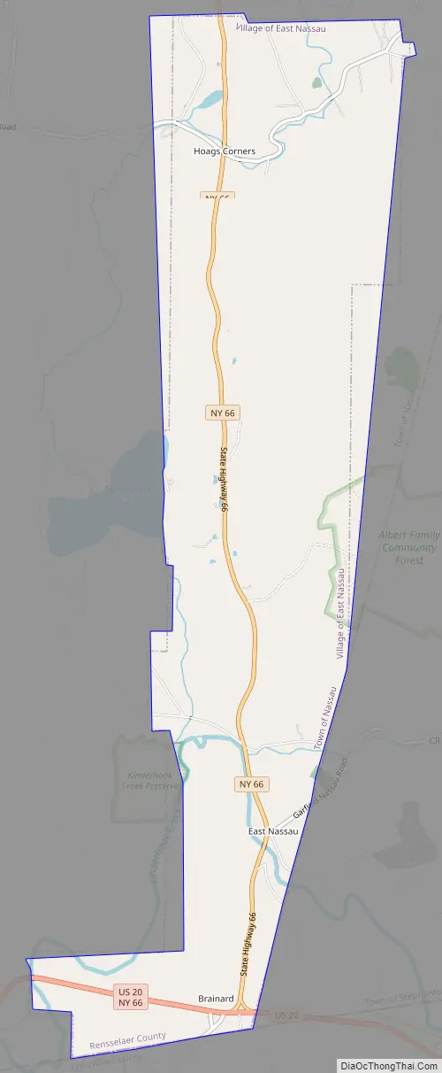
East Nassau is a village in Rensselaer County, New York, United States. The population was 587 at the 2010 census.
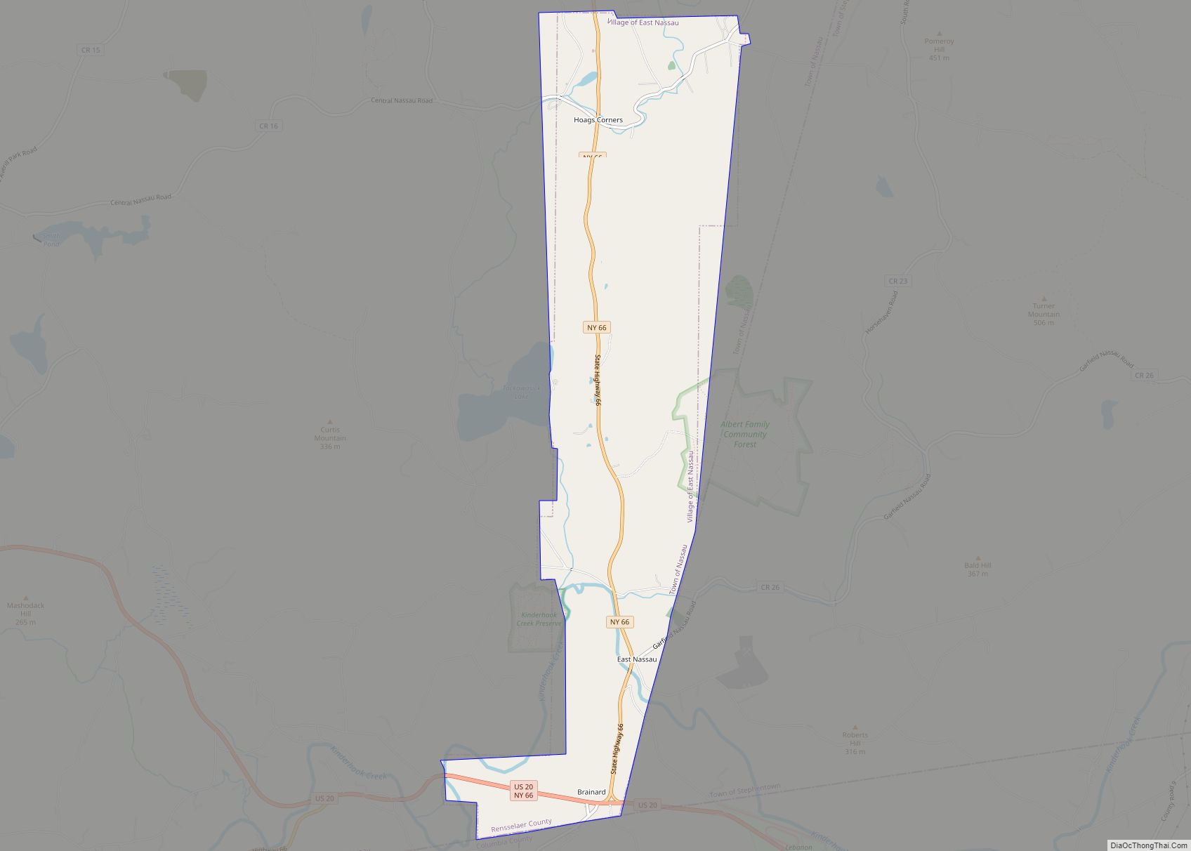
The Village of East Nassau is in the eastern section of the town of Nassau along the Town of Stephentown border by Routes 20 and 66.
| Name: | East Nassau village |
|---|---|
| LSAD Code: | 47 |
| LSAD Description: | village (suffix) |
| State: | New York |
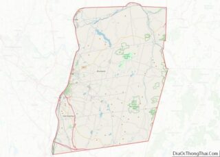
| County: | Rensselaer County |
| Incorporated: | 1998 |
| Elevation: | 571 ft (174 m) |
| Total Area: | 4.87 sq mi (12.62 km²) |
| Land Area: | 4.86 sq mi (12.59 km²) |
| Water Area: | 0.01 sq mi (0.02 km²) |
| Total Population: | 559 |
| Population Density: | 114.95/sq mi (44.38/km²) |
| Area code: | 518 |
| FIPS code: | 3622557 |
| GNISfeature ID: | 0949185 |
| Website: | villageofeastnassau.org/content |
Online Interactive Map
Click on ![]() to view map in "full screen" mode.
to view map in "full screen" mode.
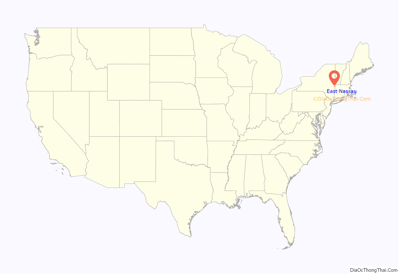
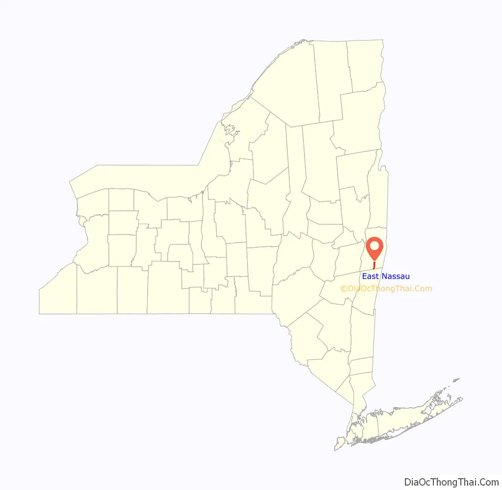
East Nassau location map. Where is East Nassau village?
History
The community was first known as “Schermerhorn’s” after an early inhabitant. East Nassau incorporated as a village in 1998.
The East Nassau Central School was listed on the National Register of Historic Places in 1997.
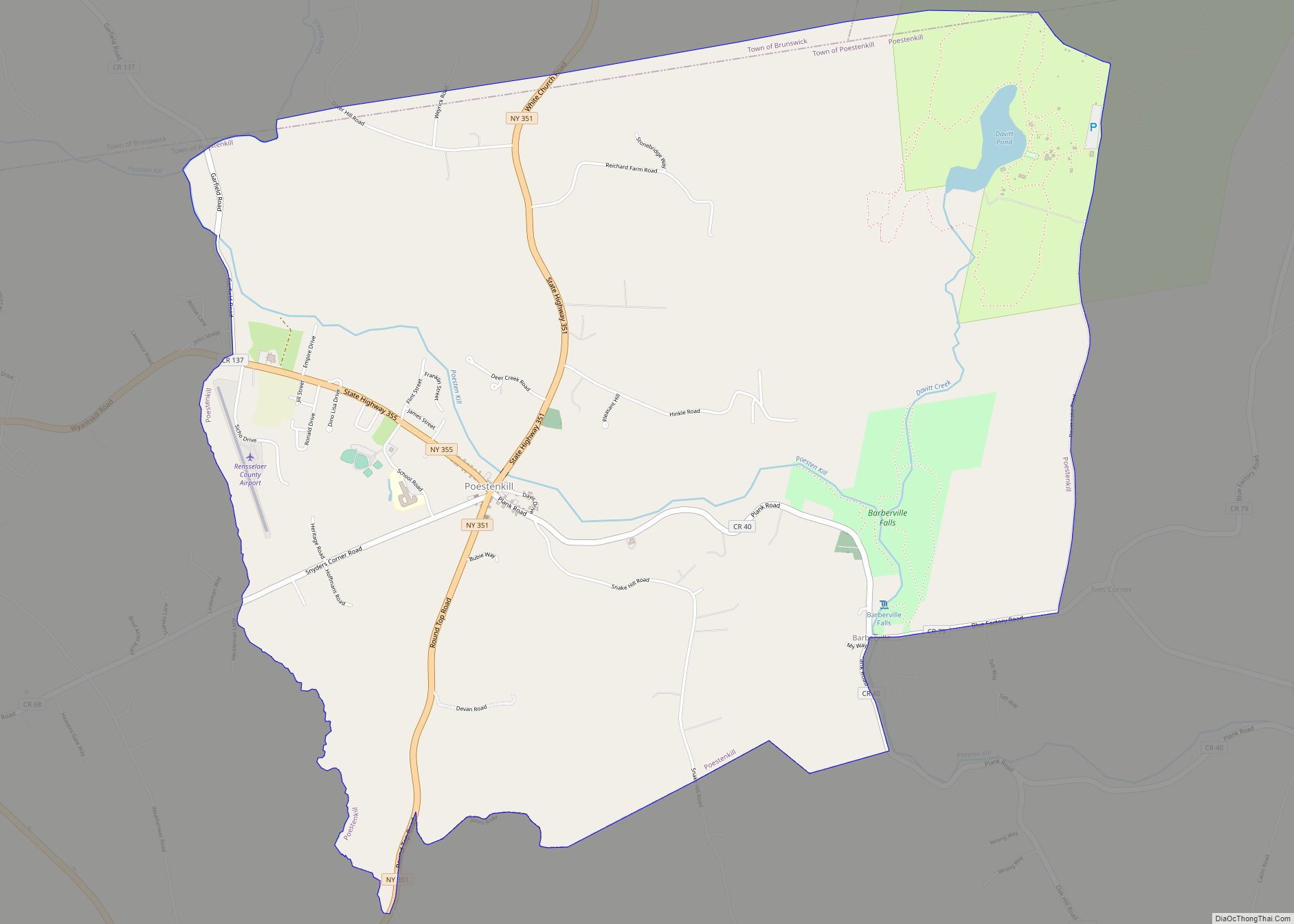
East Nassau Road Map
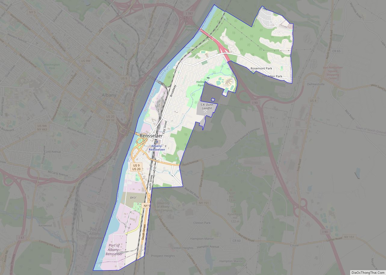
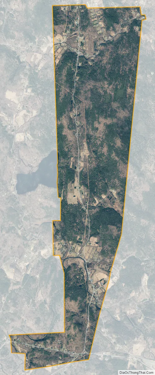
East Nassau city Satellite Map
Geography
East Nassau is located at 42°31′44″N 73°30′58″W / 42.52889°N 73.51611°W / 42.52889; -73.51611 (42.528830, -73.515997).
According to the United States Census Bureau, the village has a total area of 4.9 square miles (13 km), all land.
See also
Map of New York State and its subdivision:- Albany
- Allegany
- Bronx
- Broome
- Cattaraugus
- Cayuga
- Chautauqua
- Chemung
- Chenango
- Clinton
- Columbia
- Cortland
- Delaware
- Dutchess
- Erie
- Essex
- Franklin
- Fulton
- Genesee
- Greene
- Hamilton
- Herkimer
- Jefferson
- Kings
- Lake Ontario
- Lewis
- Livingston
- Madison
- Monroe
- Montgomery
- Nassau
- New York
- Niagara
- Oneida
- Onondaga
- Ontario
- Orange
- Orleans
- Oswego
- Otsego
- Putnam
- Queens
- Rensselaer
- Richmond
- Rockland
- Saint Lawrence
- Saratoga
- Schenectady
- Schoharie
- Schuyler
- Seneca
- Steuben
- Suffolk
- Sullivan
- Tioga
- Tompkins
- Ulster
- Warren
- Washington
- Wayne
- Westchester
- Wyoming
- Yates
- Alabama
- Alaska
- Arizona
- Arkansas
- California
- Colorado
- Connecticut
- Delaware
- District of Columbia
- Florida
- Georgia
- Hawaii
- Idaho
- Illinois
- Indiana
- Iowa
- Kansas
- Kentucky
- Louisiana
- Maine
- Maryland
- Massachusetts
- Michigan
- Minnesota
- Mississippi
- Missouri
- Montana
- Nebraska
- Nevada
- New Hampshire
- New Jersey
- New Mexico
- New York
- North Carolina
- North Dakota
- Ohio
- Oklahoma
- Oregon
- Pennsylvania
- Rhode Island
- South Carolina
- South Dakota
- Tennessee
- Texas
- Utah
- Vermont
- Virginia
- Washington
- West Virginia
- Wisconsin
- Wyoming