East Northport is a hamlet and census-designated place (CDP) in the town of Huntington in Suffolk County, New York, United States. The population was 20,217 at the 2010 census.
| Name: | East Northport CDP |
|---|---|
| LSAD Code: | 57 |
| LSAD Description: | CDP (suffix) |
| State: | New York |
| County: | Suffolk County |
| Elevation: | 223 ft (68 m) |
| Total Area: | 5.16 sq mi (13.35 km²) |
| Land Area: | 5.16 sq mi (13.35 km²) |
| Water Area: | 0.00 sq mi (0.00 km²) |
| Total Population: | 20,048 |
| Population Density: | 3,889.04/sq mi (1,501.63/km²) |
| ZIP code: | 11731 |
| Area code: | 631 |
| FIPS code: | 3622612 |
| GNISfeature ID: | 0949189 |
Online Interactive Map
Click on ![]() to view map in "full screen" mode.
to view map in "full screen" mode.
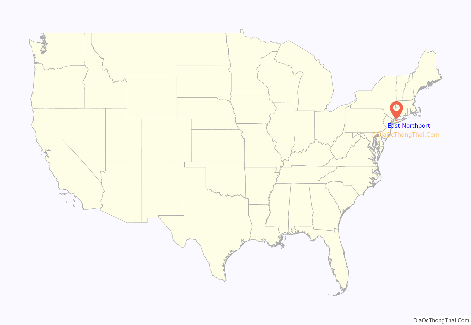
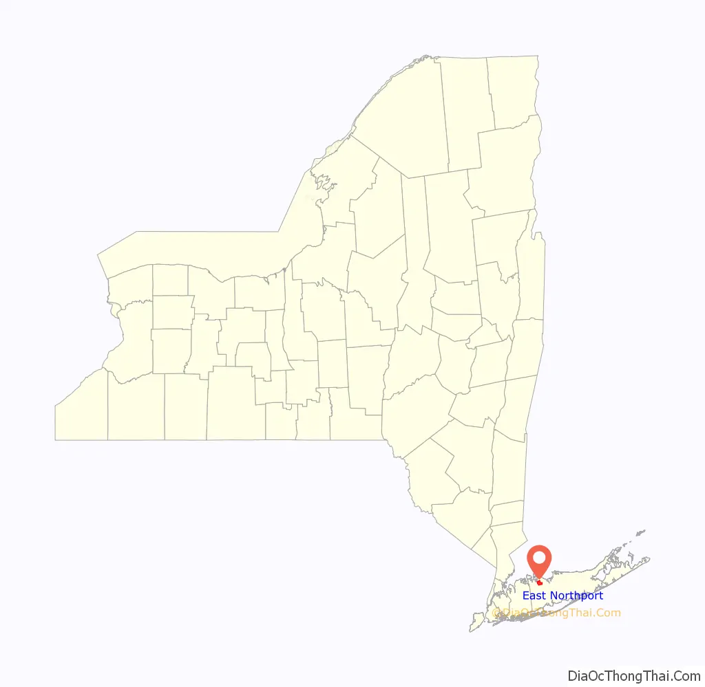
East Northport location map. Where is East Northport CDP?
History
Founding
Soon after the establishment of a village in the Huntington area, English settlers sought to further expand their territory. On July 30, 1656, land was purchased from Chief Asharoken, head of the Matinecocks Native American tribe, part of which consisted of the land that is today known as East Northport.
Larkfield and Clay Pitts
Two distinct communities formed in the area now known as East Northport. The more populous settlement known as Larkfield was located on the northern side, near Vernon Valley (now part of Northport). Larkfield originally developed near the location of Genola Cemetery, just north of the modern-day junction of Larkfield Road, Vernon Valley Road, and Laurel Road. A second community located on the southern side was known as Clay Pitts, named for its vast deposits of red clay. This clay which had been used by Native Americans to form pottery was used by the Europeans to form bricks for construction. The land between Larkfield and Clay Pitts was well suited for agriculture, and the region prospered in the late 18th century as a thriving farming community by supplying produce to markets in New York City and Brooklyn.
East Northport
In 1868 the Long Island Rail Road opened a station within the village of Northport. However, just a few years later the LIRR decided to move the Northport station to a new location in Larkfield to facilitate further railway extension to Port Jefferson. The new railway station located at Larkfield Road and Bellerose Avenue opened on January 13, 1873. Although the station retained the name of Northport, train conductors would refer to it as “East of Northport”, because the station was located east of the railway junction which used to direct trains north to the old station located in the village of Northport. Despite the fact that East Northport is primarily south of Northport, the area became known thereafter as East Northport. The Larkfield Post Office formally changed its name to East Northport in 1910. The East Northport, New York post office building was renamed the Jerome Anthony Ambro, Jr. Post Office Building in 1998.
Suburban growth
As Americans returned home from World War II, Long Island experienced a dramatic population shift from large cities to suburban areas. East Northport’s population soared as a housing boom transformed the rural farmland into modern suburbs. Today East Northport is the largest community in the town of Huntington, by land area, and third in population behind Huntington Station and Dix Hills.
Crime
On August 11, 1989, FBI Informant Robert Kubecka and his brother-in-law Donald Barstow were murdered inside their Brightside Avenue office by Lucchese Family soldiers Rocco Vitulli and Frank “Frankie the Pearl” Federico, on orders of Capo Salvatore Avellino, with the blessing of then-Lucchesse underboss Anthony ‘Gaspipe’ Casso. Information provided by Kubecka had been used as part of the infamous Mafia Commission Trial in 1985-1986.
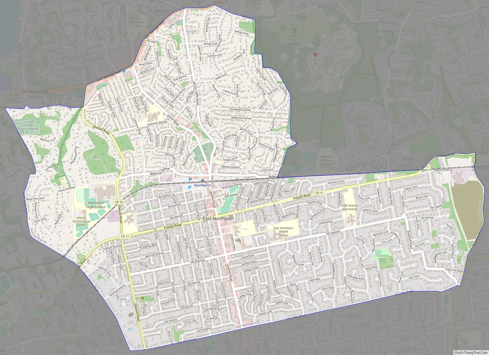
East Northport Road Map
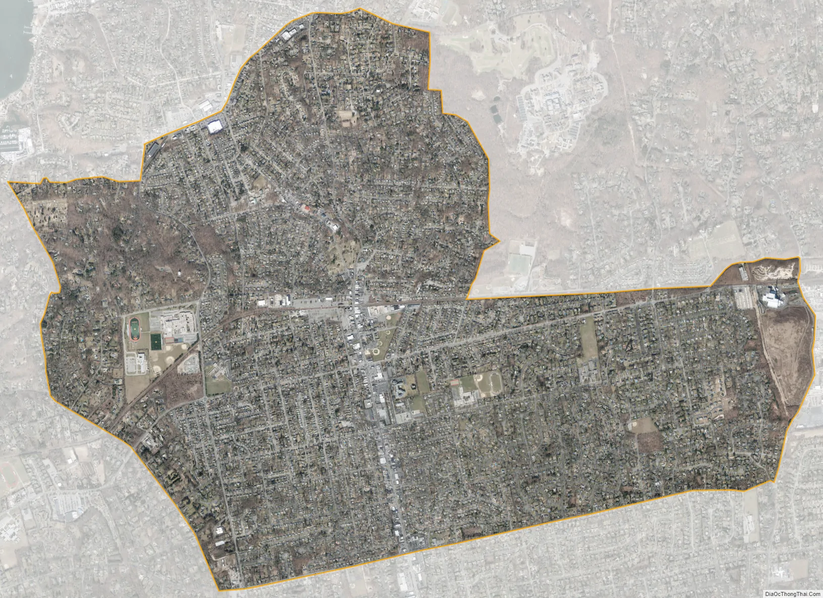
East Northport city Satellite Map
Geography
East Northport is located at 40°52′45″N 73°19′27″W / 40.87917°N 73.32417°W / 40.87917; -73.32417 (40.879248, -73.324133).
According to the United States Census Bureau, the CDP has a total area of 5.2 square miles (13.4 km), all land.
See also
Map of New York State and its subdivision:- Albany
- Allegany
- Bronx
- Broome
- Cattaraugus
- Cayuga
- Chautauqua
- Chemung
- Chenango
- Clinton
- Columbia
- Cortland
- Delaware
- Dutchess
- Erie
- Essex
- Franklin
- Fulton
- Genesee
- Greene
- Hamilton
- Herkimer
- Jefferson
- Kings
- Lake Ontario
- Lewis
- Livingston
- Madison
- Monroe
- Montgomery
- Nassau
- New York
- Niagara
- Oneida
- Onondaga
- Ontario
- Orange
- Orleans
- Oswego
- Otsego
- Putnam
- Queens
- Rensselaer
- Richmond
- Rockland
- Saint Lawrence
- Saratoga
- Schenectady
- Schoharie
- Schuyler
- Seneca
- Steuben
- Suffolk
- Sullivan
- Tioga
- Tompkins
- Ulster
- Warren
- Washington
- Wayne
- Westchester
- Wyoming
- Yates
- Alabama
- Alaska
- Arizona
- Arkansas
- California
- Colorado
- Connecticut
- Delaware
- District of Columbia
- Florida
- Georgia
- Hawaii
- Idaho
- Illinois
- Indiana
- Iowa
- Kansas
- Kentucky
- Louisiana
- Maine
- Maryland
- Massachusetts
- Michigan
- Minnesota
- Mississippi
- Missouri
- Montana
- Nebraska
- Nevada
- New Hampshire
- New Jersey
- New Mexico
- New York
- North Carolina
- North Dakota
- Ohio
- Oklahoma
- Oregon
- Pennsylvania
- Rhode Island
- South Carolina
- South Dakota
- Tennessee
- Texas
- Utah
- Vermont
- Virginia
- Washington
- West Virginia
- Wisconsin
- Wyoming


