East Patchogue (/ˈpætʃɒɡ/, PATCH-awg) is a census-designated place (CDP) in the Town of Brookhaven in Suffolk County, on the South Shore of Long Island, in New York, United States. The population was 22,469 at the 2010 census. The CDP is a proximate representation of the East Patchogue hamlet used for statistical purposes of the Census Bureau.
| Name: | East Patchogue CDP |
|---|---|
| LSAD Code: | 57 |
| LSAD Description: | CDP (suffix) |
| State: | New York |
| County: | Suffolk County |
| Elevation: | 23 ft (7 m) |
| Total Area: | 8.46 sq mi (21.92 km²) |
| Land Area: | 8.32 sq mi (21.54 km²) |
| Water Area: | 0.14 sq mi (0.37 km²) |
| Total Population: | 21,580 |
| Population Density: | 2,594.37/sq mi (1,001.66/km²) |
| ZIP code: | 11772 |
| Area code: | 631, 934 |
| FIPS code: | 3622733 |
| GNISfeature ID: | 0949199 |
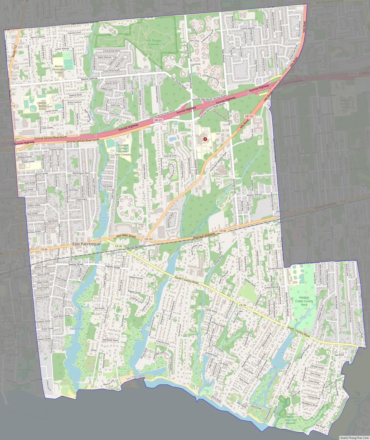
Online Interactive Map
Click on ![]() to view map in "full screen" mode.
to view map in "full screen" mode.
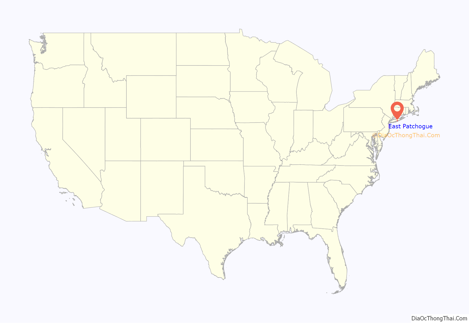
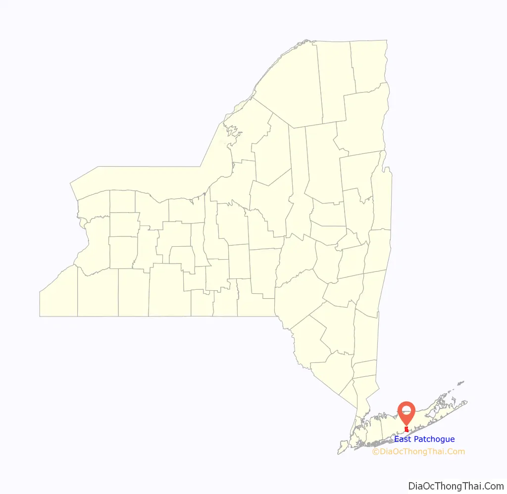
East Patchogue location map. Where is East Patchogue CDP?
History
Patchogue has historically been a major shopping and commerce hub of Suffolk County. “Patchogue” in the narrow sense is an incorporated village with narrow limits, only about a mile and a half wide. East Patchogue includes the eastern portion of Patchogue in the wider sense, as well as the area east of that but still west of the incorporated village of Bellport. This double meaning of “East Patchogue” is reflected in the naming of New York State Route 27A: It is called “East Main Street” in the western portion of East Patchogue, and “Montauk Highway” (as it typically is outside of villages) in the eastern portion. The Patchogue side of East Patchogue is in the Patchogue-Medford School District, while the Bellport side is in the South Country Central School District, and its high-school students attend Bellport High School.
The area around County Road 80 in the western portion of East Patchogue was once commonly regarded as the hamlet of Hagerman. In New York, a hamlet has no official boundaries or government and refers only to a named, settled area. With suburban growth, Hagerman is no longer distinct from its surroundings, and the name has fallen into disuse, especially since the removal of the Hagerman station on the Long Island Rail Road. There still exists the Hagerman fire district.
Prior to its closure, the East Patchogue post office was located at 1415 Montauk Highway.
East Patchogue Road Map
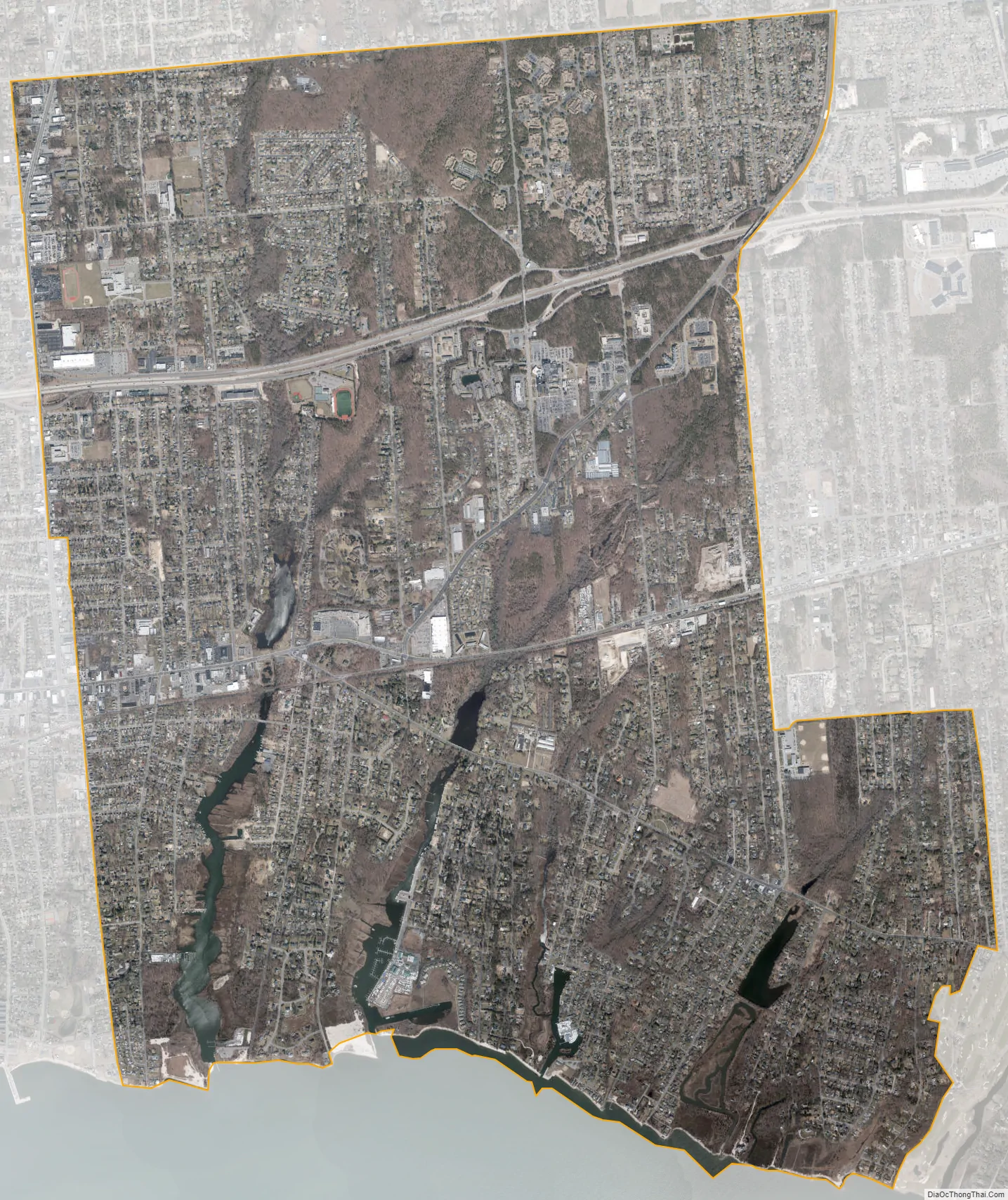
East Patchogue city Satellite Map
Geography
According to the United States Census Bureau, the CDP has a total area of 8.5 square miles (22 km), of which 8.3 square miles (21 km) is land and 0.2 square miles (0.52 km) (1.89%) is water.
See also
Map of New York State and its subdivision:- Albany
- Allegany
- Bronx
- Broome
- Cattaraugus
- Cayuga
- Chautauqua
- Chemung
- Chenango
- Clinton
- Columbia
- Cortland
- Delaware
- Dutchess
- Erie
- Essex
- Franklin
- Fulton
- Genesee
- Greene
- Hamilton
- Herkimer
- Jefferson
- Kings
- Lake Ontario
- Lewis
- Livingston
- Madison
- Monroe
- Montgomery
- Nassau
- New York
- Niagara
- Oneida
- Onondaga
- Ontario
- Orange
- Orleans
- Oswego
- Otsego
- Putnam
- Queens
- Rensselaer
- Richmond
- Rockland
- Saint Lawrence
- Saratoga
- Schenectady
- Schoharie
- Schuyler
- Seneca
- Steuben
- Suffolk
- Sullivan
- Tioga
- Tompkins
- Ulster
- Warren
- Washington
- Wayne
- Westchester
- Wyoming
- Yates
- Alabama
- Alaska
- Arizona
- Arkansas
- California
- Colorado
- Connecticut
- Delaware
- District of Columbia
- Florida
- Georgia
- Hawaii
- Idaho
- Illinois
- Indiana
- Iowa
- Kansas
- Kentucky
- Louisiana
- Maine
- Maryland
- Massachusetts
- Michigan
- Minnesota
- Mississippi
- Missouri
- Montana
- Nebraska
- Nevada
- New Hampshire
- New Jersey
- New Mexico
- New York
- North Carolina
- North Dakota
- Ohio
- Oklahoma
- Oregon
- Pennsylvania
- Rhode Island
- South Carolina
- South Dakota
- Tennessee
- Texas
- Utah
- Vermont
- Virginia
- Washington
- West Virginia
- Wisconsin
- Wyoming


