East Quogue is a hamlet and census-designated place (CDP) in the Town of Southampton in Suffolk County, on Long Island, in New York, United States. The population was 4,757 at the 2010 census.
| Name: | East Quogue CDP |
|---|---|
| LSAD Code: | 57 |
| LSAD Description: | CDP (suffix) |
| State: | New York |
| County: | Suffolk County |
| Elevation: | 13 ft (4 m) |
| Total Area: | 12.11 sq mi (31.36 km²) |
| Land Area: | 8.71 sq mi (22.57 km²) |
| Water Area: | 3.40 sq mi (8.80 km²) |
| Total Population: | 5,557 |
| Population Density: | 637.78/sq mi (246.26/km²) |
| ZIP code: | 11942 |
| Area code: | 631, 934 |
| FIPS code: | 3622832 |
| GNISfeature ID: | 0949224 |
Online Interactive Map
Click on ![]() to view map in "full screen" mode.
to view map in "full screen" mode.
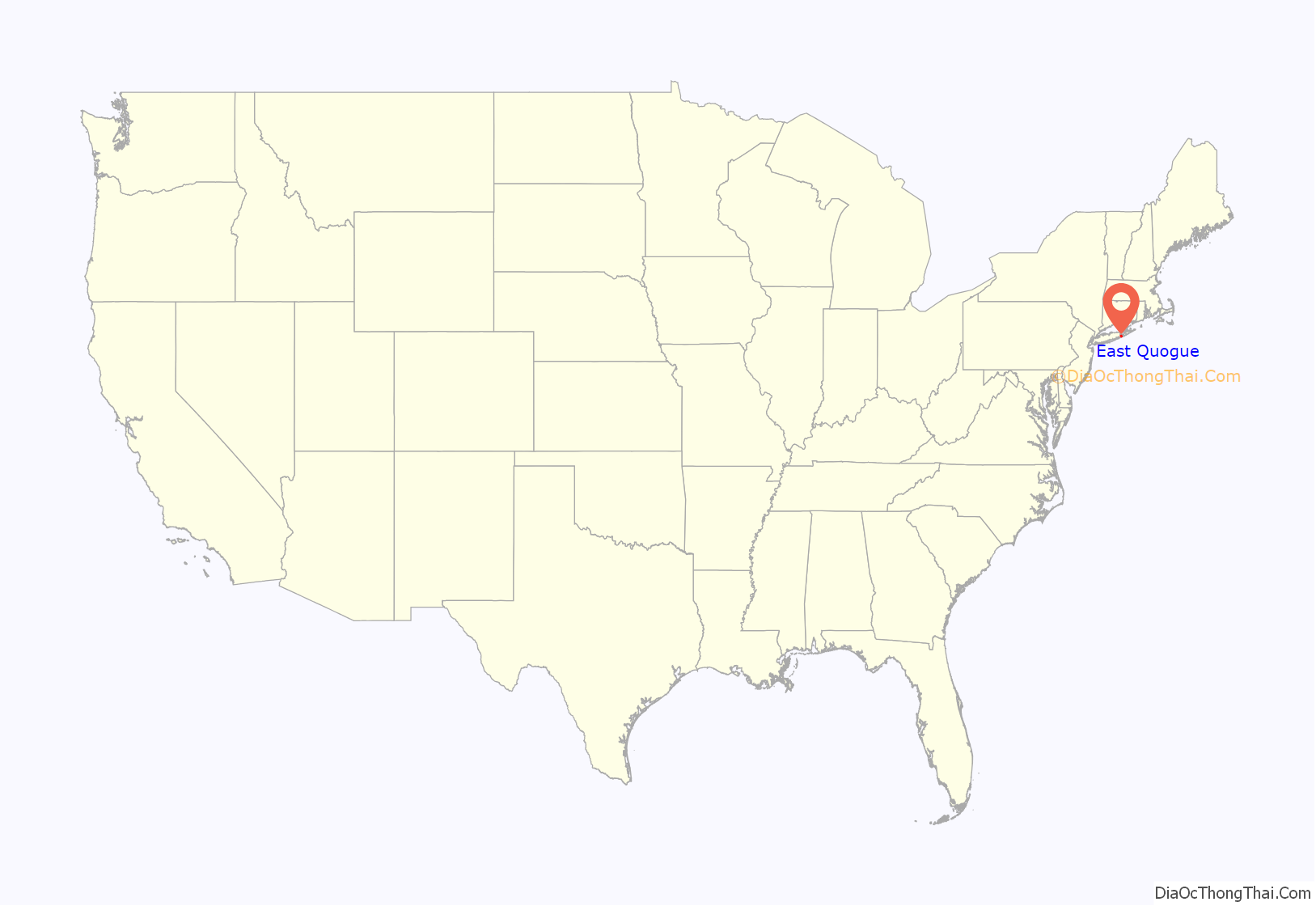
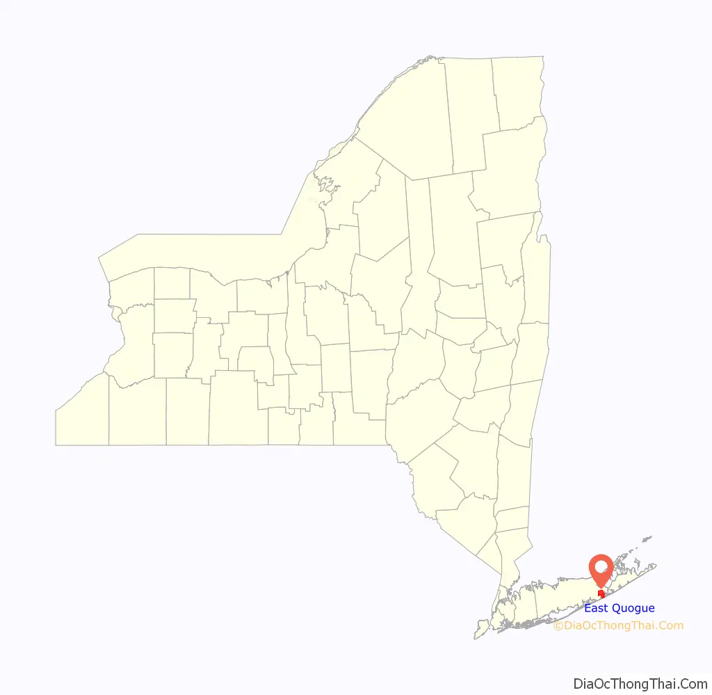
East Quogue location map. Where is East Quogue CDP?
History
East Quogue originally settled in 1673 and was known as Fourth Neck. In the 2010s, portions of the hamlet attempted to incorporate as a village. The attempts to incorporate the village failed in 2019 after the majority of voters within the proposed village’s boundaries resident voted against incorporating.
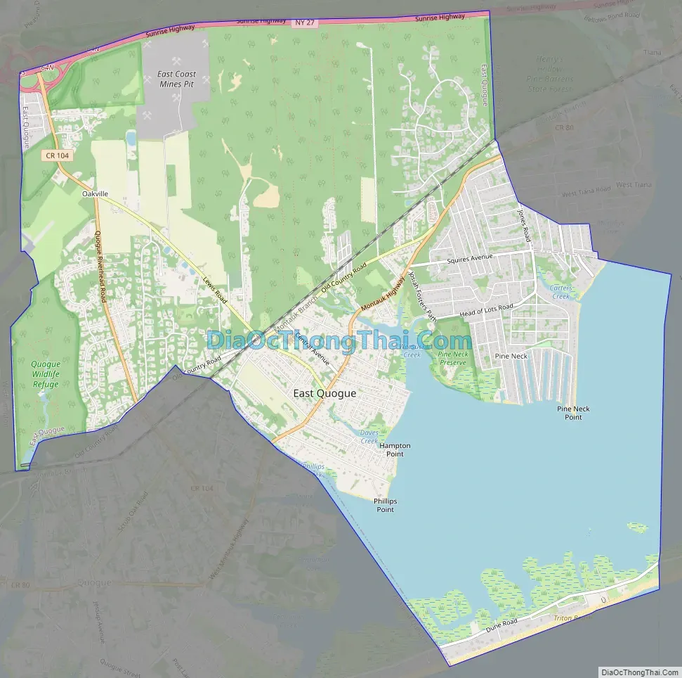
East Quogue Road Map
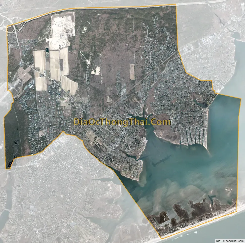
East Quogue city Satellite Map
Geography
According to the United States Census Bureau, the CDP has a total area of 11.5 square miles (29.9 km), of which 8.9 square miles (23.0 km) is land and 2.7 square miles (7.0 km), or 23.23%, is water.
See also
Map of New York State and its subdivision:- Albany
- Allegany
- Bronx
- Broome
- Cattaraugus
- Cayuga
- Chautauqua
- Chemung
- Chenango
- Clinton
- Columbia
- Cortland
- Delaware
- Dutchess
- Erie
- Essex
- Franklin
- Fulton
- Genesee
- Greene
- Hamilton
- Herkimer
- Jefferson
- Kings
- Lake Ontario
- Lewis
- Livingston
- Madison
- Monroe
- Montgomery
- Nassau
- New York
- Niagara
- Oneida
- Onondaga
- Ontario
- Orange
- Orleans
- Oswego
- Otsego
- Putnam
- Queens
- Rensselaer
- Richmond
- Rockland
- Saint Lawrence
- Saratoga
- Schenectady
- Schoharie
- Schuyler
- Seneca
- Steuben
- Suffolk
- Sullivan
- Tioga
- Tompkins
- Ulster
- Warren
- Washington
- Wayne
- Westchester
- Wyoming
- Yates
- Alabama
- Alaska
- Arizona
- Arkansas
- California
- Colorado
- Connecticut
- Delaware
- District of Columbia
- Florida
- Georgia
- Hawaii
- Idaho
- Illinois
- Indiana
- Iowa
- Kansas
- Kentucky
- Louisiana
- Maine
- Maryland
- Massachusetts
- Michigan
- Minnesota
- Mississippi
- Missouri
- Montana
- Nebraska
- Nevada
- New Hampshire
- New Jersey
- New Mexico
- New York
- North Carolina
- North Dakota
- Ohio
- Oklahoma
- Oregon
- Pennsylvania
- Rhode Island
- South Carolina
- South Dakota
- Tennessee
- Texas
- Utah
- Vermont
- Virginia
- Washington
- West Virginia
- Wisconsin
- Wyoming


