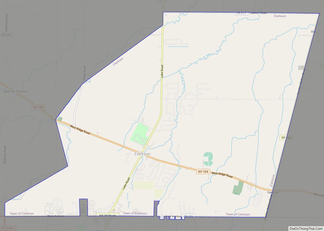
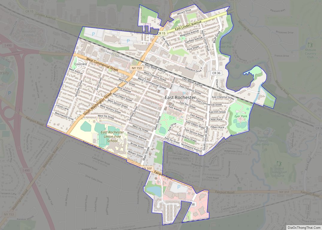
East Rochester is a coterminous town and village located southeast of the City of Rochester in Monroe County, New York, United States. The village, home to approximately 6,600 people, is surrounded by Pittsford on the west side and by Perinton to the east. Most of the southern boundary is delimited by New York State Route 31F.
| Name: | East Rochester village |
|---|---|
| LSAD Code: | 47 |
| LSAD Description: | village (suffix) |
| State: | New York |
| County: | Monroe County |
| Incorporated: | 1906; 117 years ago (1906) (as a village) |
| Elevation: | 436 ft (133 m) |
| Total Area: | 1.32 sq mi (3.42 km²) |
| Land Area: | 1.31 sq mi (3.41 km²) |
| Water Area: | 0.00 sq mi (0.01 km²) |
| Population Density: | 4,816.73/sq mi (1,859.80/km²) |
| ZIP code: | 14445 |
| Area code: | 585 |
| FIPS code: | 3622865 |
| Website: | http://www.eastrochester.org/ |
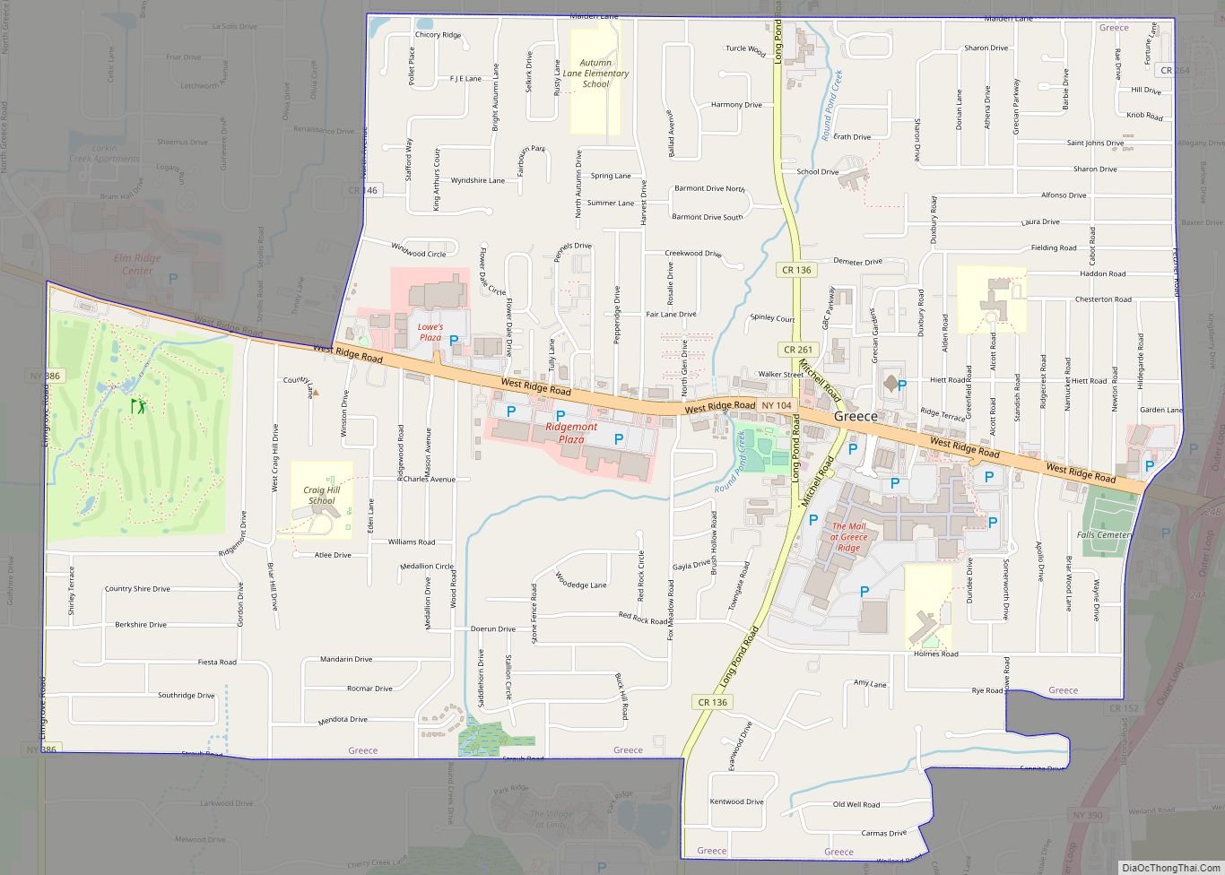
Online Interactive Map
Click on ![]() to view map in "full screen" mode.
to view map in "full screen" mode.
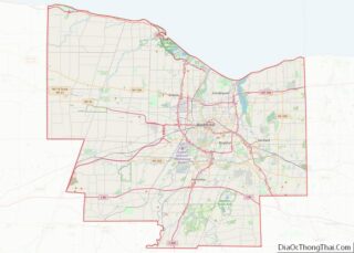
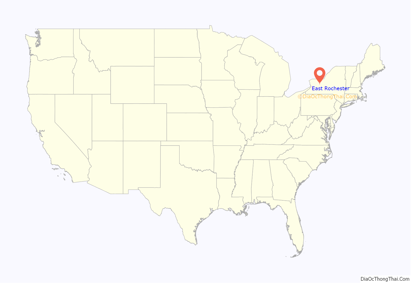
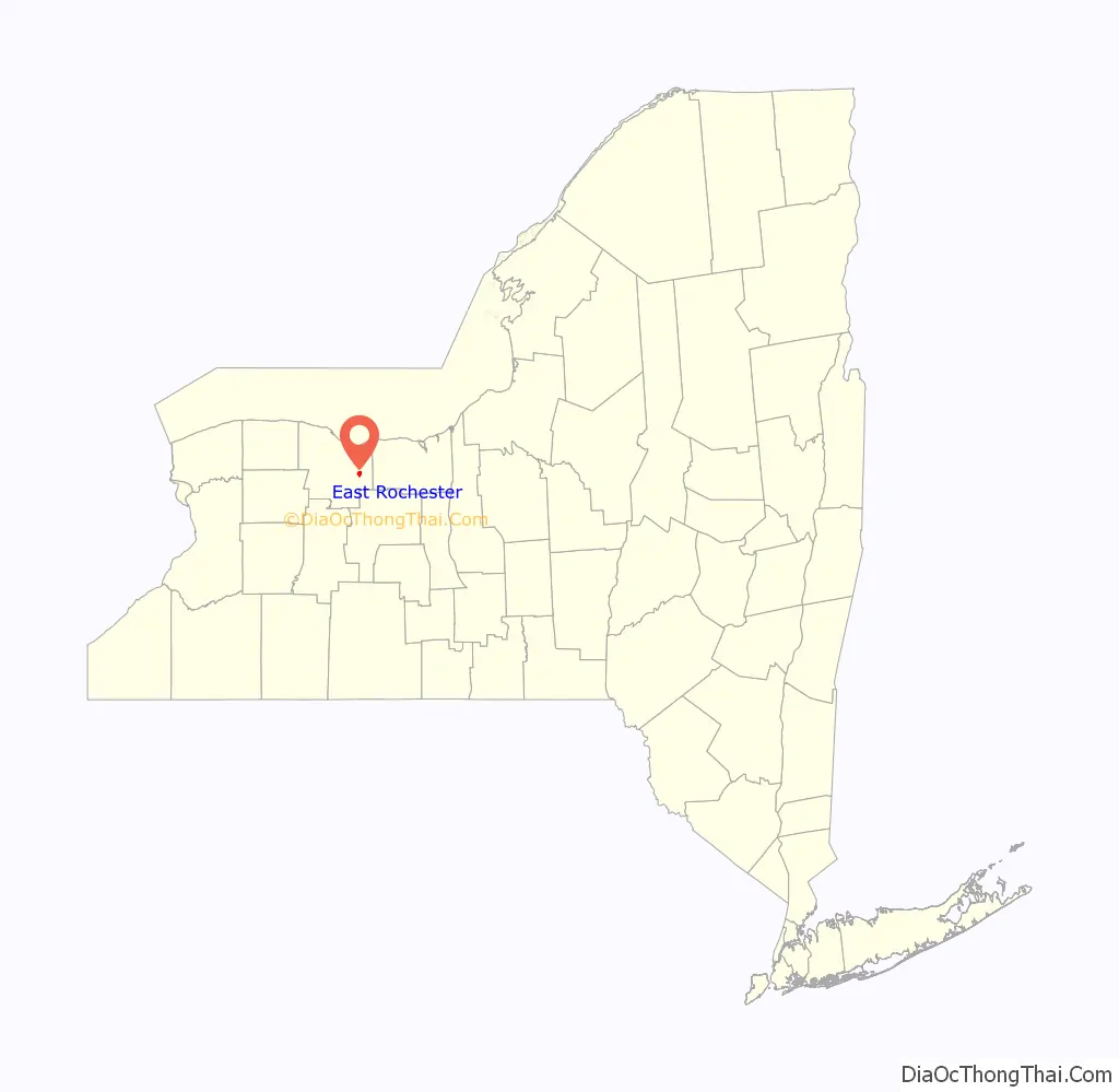
East Rochester location map. Where is East Rochester village?
History
Beginnings
The village of East Rochester was originally known as the Village of Despatch when the community was incorporated in 1897. Despatch was laid out as a planned community designed around the New York Central Railroad mainline that ran through the center of the village. Much of the original land which became the village came from Fairport businessman Walter Parce. This land was used to develop housing for employees of the earliest employers: The Merchants Despatch Corporation and the Aeolian Piano Corporation. The original buildings of the Aeolian Piano Corporation are still in use today as a shopping center and office complex called Piano Works Mall.
To better showcase the village’s proximity to the city of Rochester, the village was incorporated as the Village of East Rochester in 1906.
The village was divided between the towns of Perinton, Pittsford, and Penfield.
On August 20, 1966, a Little League baseball team from East Rochester captured the Senior Little League World Championship by defeating La Habra California 4-2 in Des Moines, Iowa. East Rochester is the smallest community in the world to win either a Little League or Senior Little League World Championship.
The United States Post Office (East Rochester, New York) was listed on the National Register of Historic Places in 1988.
Coterminous status
In 1981, the village became a coterminous town and village.
Derailments
Two derailments have occurred on the double-track mainline railroad running through East Rochester. The first occurred on October 29, 1969 when a 30-car Penn Central freight train carrying produce derailed onto West Maple Avenue (which, along with East Maple Avenue, runs parallel to the tracks between NY 153 and South Lincoln Road), crushing numerous automobiles and toppling telephone poles. No one was injured.
On January 16, 2007, a 13-car CSX intermodal train traveling 60 mph (97 km/h) and carrying retail goods partially derailed at the South Lincoln underpass, spilling at least five containers and two intermodal wells onto the road below. The wreckage extended west from South Lincoln along East Maple Avenue to Madison Street as derailed cars crushed a number of vehicles parked alongside the tracks and dumped intermodal containers into the front yards of residents on Maple. Overall, eight wells and 15 to 20 containers came off the rails. As in 1969, no one was injured in the accident. The presence of mangled intermodal cars in the southbound lanes of Lincoln Road, as well as one teetering on the edge of the bridge, forced the closure of the road. It reopened January 18 following two days of cleanup. The 200 block of East Maple Avenue, however, remained closed for repair work for several days afterward.
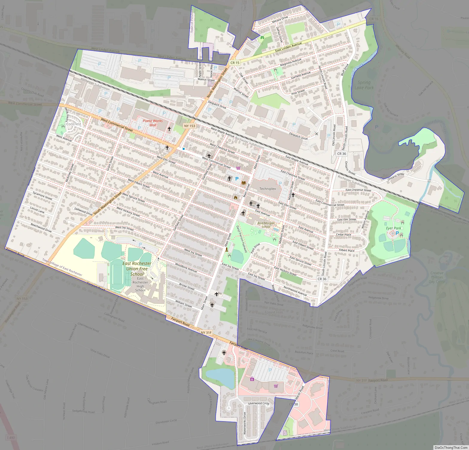
East Rochester Road Map
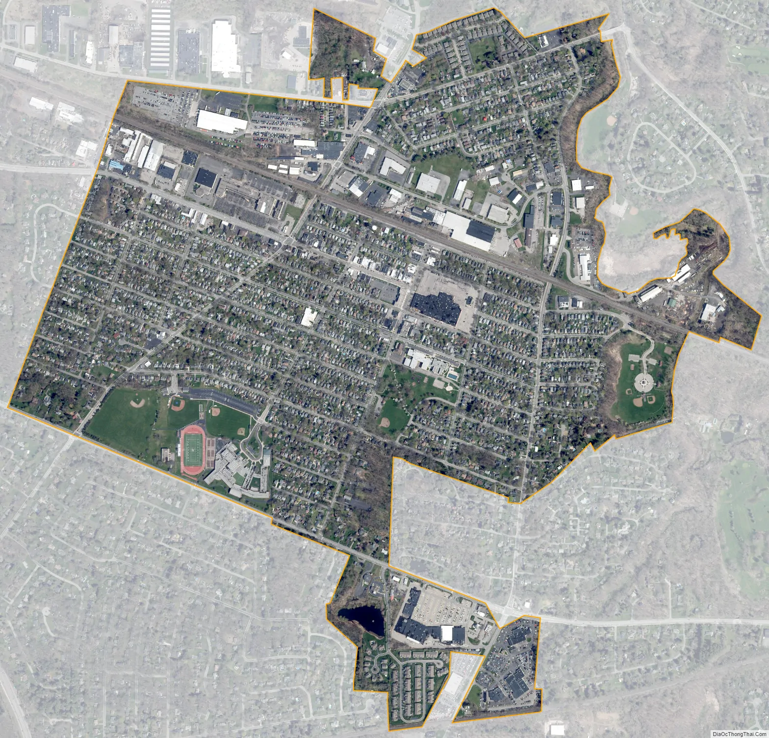
East Rochester city Satellite Map
Geography
East Rochester is located at 43°6′44″N 77°29′13″W / 43.11222°N 77.48694°W / 43.11222; -77.48694 (43.112413, -77.487).
According to the United States Census Bureau, the village has a total area of 1.4 square miles (3.5 km), all land; however, Irondequoit Creek runs along the eastern edge of the village.
See also
Map of New York State and its subdivision:- Albany
- Allegany
- Bronx
- Broome
- Cattaraugus
- Cayuga
- Chautauqua
- Chemung
- Chenango
- Clinton
- Columbia
- Cortland
- Delaware
- Dutchess
- Erie
- Essex
- Franklin
- Fulton
- Genesee
- Greene
- Hamilton
- Herkimer
- Jefferson
- Kings
- Lake Ontario
- Lewis
- Livingston
- Madison
- Monroe
- Montgomery
- Nassau
- New York
- Niagara
- Oneida
- Onondaga
- Ontario
- Orange
- Orleans
- Oswego
- Otsego
- Putnam
- Queens
- Rensselaer
- Richmond
- Rockland
- Saint Lawrence
- Saratoga
- Schenectady
- Schoharie
- Schuyler
- Seneca
- Steuben
- Suffolk
- Sullivan
- Tioga
- Tompkins
- Ulster
- Warren
- Washington
- Wayne
- Westchester
- Wyoming
- Yates
- Alabama
- Alaska
- Arizona
- Arkansas
- California
- Colorado
- Connecticut
- Delaware
- District of Columbia
- Florida
- Georgia
- Hawaii
- Idaho
- Illinois
- Indiana
- Iowa
- Kansas
- Kentucky
- Louisiana
- Maine
- Maryland
- Massachusetts
- Michigan
- Minnesota
- Mississippi
- Missouri
- Montana
- Nebraska
- Nevada
- New Hampshire
- New Jersey
- New Mexico
- New York
- North Carolina
- North Dakota
- Ohio
- Oklahoma
- Oregon
- Pennsylvania
- Rhode Island
- South Carolina
- South Dakota
- Tennessee
- Texas
- Utah
- Vermont
- Virginia
- Washington
- West Virginia
- Wisconsin
- Wyoming