East Shoreham is a hamlet and census-designated place (CDP) in the Suffolk County town of Brookhaven, New York, United States. The population was 6,841 at the 2020 census.
| Name: | East Shoreham CDP |
|---|---|
| LSAD Code: | 57 |
| LSAD Description: | CDP (suffix) |
| State: | New York |
| County: | Suffolk County |
| Elevation: | 121 ft (37 m) |
| Total Area: | 6.71 sq mi (17.37 km²) |
| Land Area: | 5.40 sq mi (13.98 km²) |
| Water Area: | 1.31 sq mi (3.39 km²) |
| Total Population: | 6,841 |
| Population Density: | 1,267.09/sq mi (489.20/km²) |
| Area code: | 631, 934 |
| FIPS code: | 3622980 |
| GNISfeature ID: | 1867403 |
Online Interactive Map
Click on ![]() to view map in "full screen" mode.
to view map in "full screen" mode.
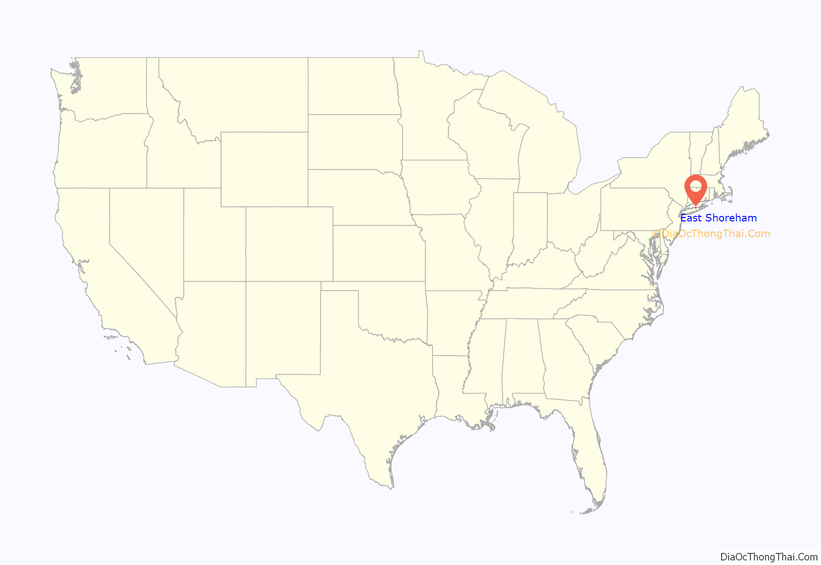
East Shoreham location map. Where is East Shoreham CDP?
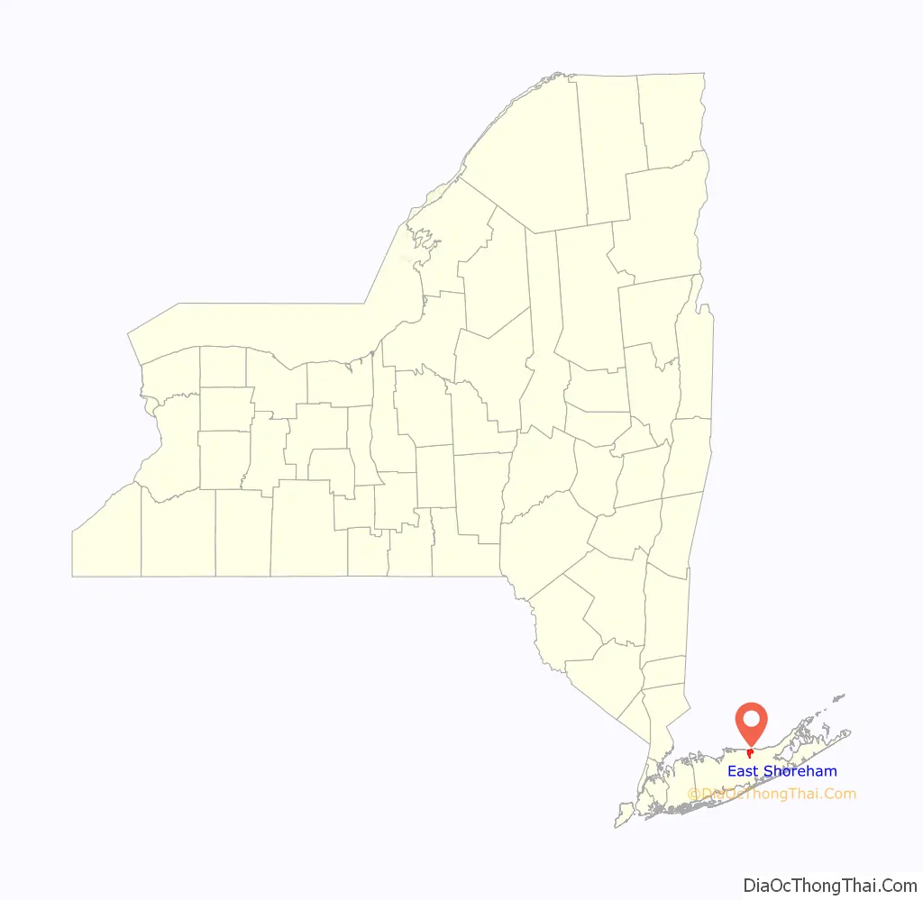
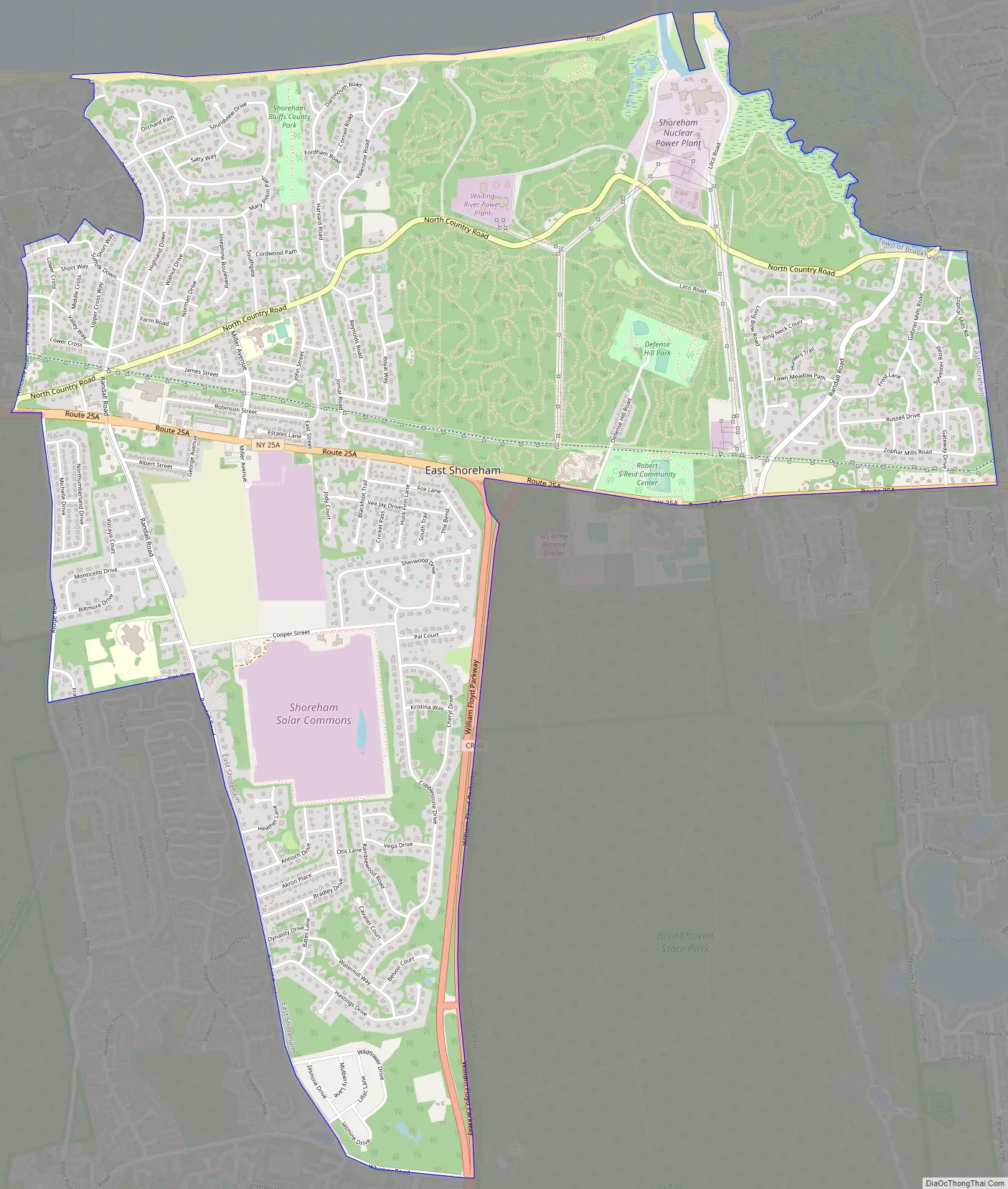
East Shoreham Road Map
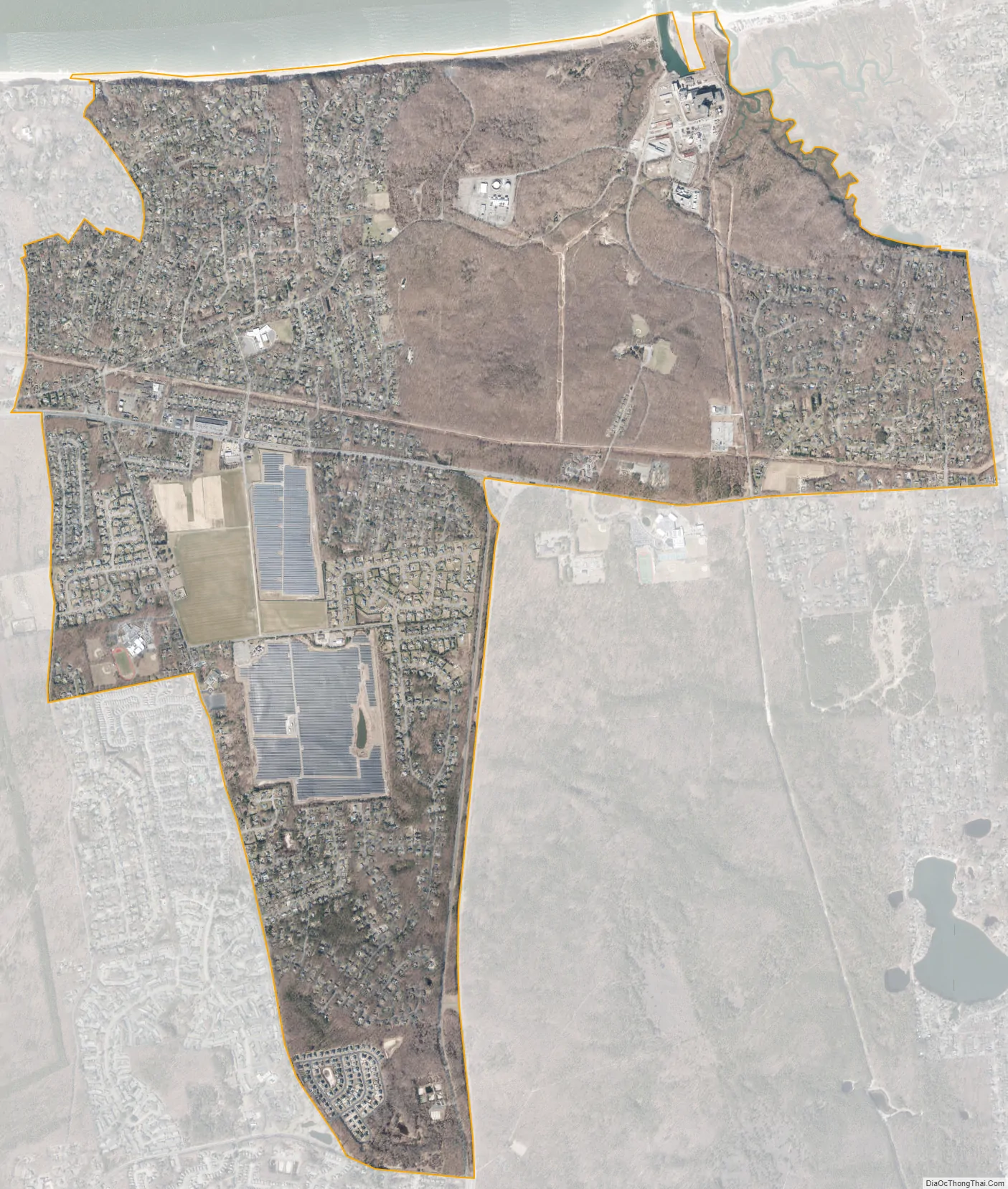
East Shoreham city Satellite Map
Geography
East Shoreham is located on the northern shore of Long Island, by Long Island Sound. It shares a zip code (11786) with the neighboring village of Shoreham. Despite its official name, East Shoreham is invariably referred to by its inhabitants as “Shoreham”, while the adjoining village is often called “Shoreham Village”.
East Shoreham is bordered to the east by Wading River in the town of Riverhead, to the south by Ridge, to the southwest by Rocky Point, to the west by the village of Shoreham, and to the north by Long Island Sound.
According to the United States Census Bureau, the CDP has a total area of 5.4 square miles (13.9 km), all land.
See also
Map of New York State and its subdivision:- Albany
- Allegany
- Bronx
- Broome
- Cattaraugus
- Cayuga
- Chautauqua
- Chemung
- Chenango
- Clinton
- Columbia
- Cortland
- Delaware
- Dutchess
- Erie
- Essex
- Franklin
- Fulton
- Genesee
- Greene
- Hamilton
- Herkimer
- Jefferson
- Kings
- Lake Ontario
- Lewis
- Livingston
- Madison
- Monroe
- Montgomery
- Nassau
- New York
- Niagara
- Oneida
- Onondaga
- Ontario
- Orange
- Orleans
- Oswego
- Otsego
- Putnam
- Queens
- Rensselaer
- Richmond
- Rockland
- Saint Lawrence
- Saratoga
- Schenectady
- Schoharie
- Schuyler
- Seneca
- Steuben
- Suffolk
- Sullivan
- Tioga
- Tompkins
- Ulster
- Warren
- Washington
- Wayne
- Westchester
- Wyoming
- Yates
- Alabama
- Alaska
- Arizona
- Arkansas
- California
- Colorado
- Connecticut
- Delaware
- District of Columbia
- Florida
- Georgia
- Hawaii
- Idaho
- Illinois
- Indiana
- Iowa
- Kansas
- Kentucky
- Louisiana
- Maine
- Maryland
- Massachusetts
- Michigan
- Minnesota
- Mississippi
- Missouri
- Montana
- Nebraska
- Nevada
- New Hampshire
- New Jersey
- New Mexico
- New York
- North Carolina
- North Dakota
- Ohio
- Oklahoma
- Oregon
- Pennsylvania
- Rhode Island
- South Carolina
- South Dakota
- Tennessee
- Texas
- Utah
- Vermont
- Virginia
- Washington
- West Virginia
- Wisconsin
- Wyoming


