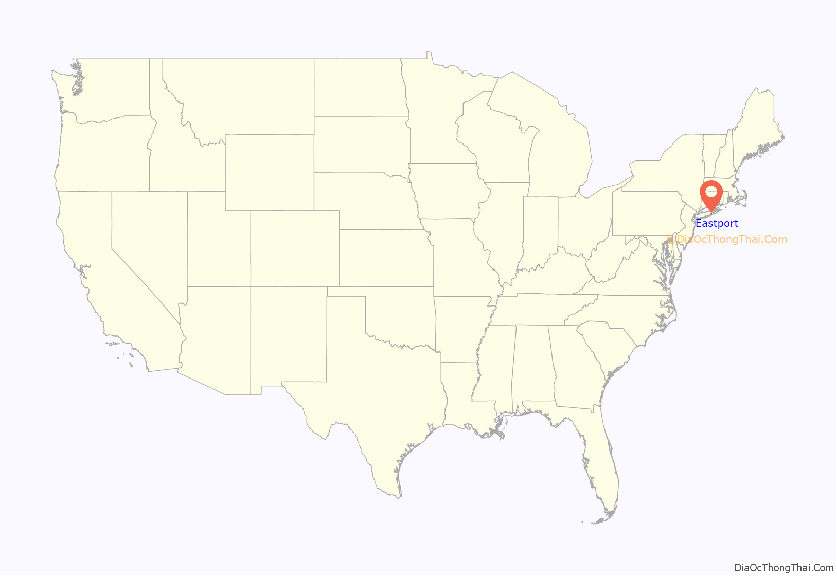
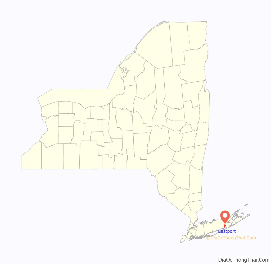
Eastport is a hamlet and census-designated place (CDP) in Suffolk County, New York, on the South Shore of Long Island. The population was 1,831 at the 2010 census.
| Name: | Eastport CDP |
|---|---|
| LSAD Code: | 57 |
| LSAD Description: | CDP (suffix) |
| State: | New York |
| County: | Suffolk County |
| Elevation: | 30 ft (9 m) |
| Total Area: | 4.58 sq mi (11.85 km²) |
| Land Area: | 4.45 sq mi (11.52 km²) |
| Water Area: | 0.13 sq mi (0.33 km²) |
| Total Population: | 2,219 |
| Population Density: | 498.88/sq mi (192.62/km²) |
| ZIP code: | 11941 |
| Area code: | 631, 934 |
| FIPS code: | 3622810 |
| GNISfeature ID: | 0949307 |
Online Interactive Map
Click on ![]() to view map in "full screen" mode.
to view map in "full screen" mode.
Eastport location map. Where is Eastport CDP?
History
Eastport dates to the 1730s when a gristmill was built there. It started as two hamlets, Seatuck and Waterville, and in the 1850s applied for a post office by the name of Seatuck. It was refused because it was too similar to Setauket, New York. It was renamed Eastport.
In the first half of the 20th century it was the capital of the production of Long Island ducks, producing 6.5 million ducks a year from 29 farms going to market. Practically all duck farms have been phased out and the descendants of the original farmers sold the valuable waterfront property for residential development projects. Cornell University has a Duck Research Laboratory on Old Country Road (Suffolk CR 71).
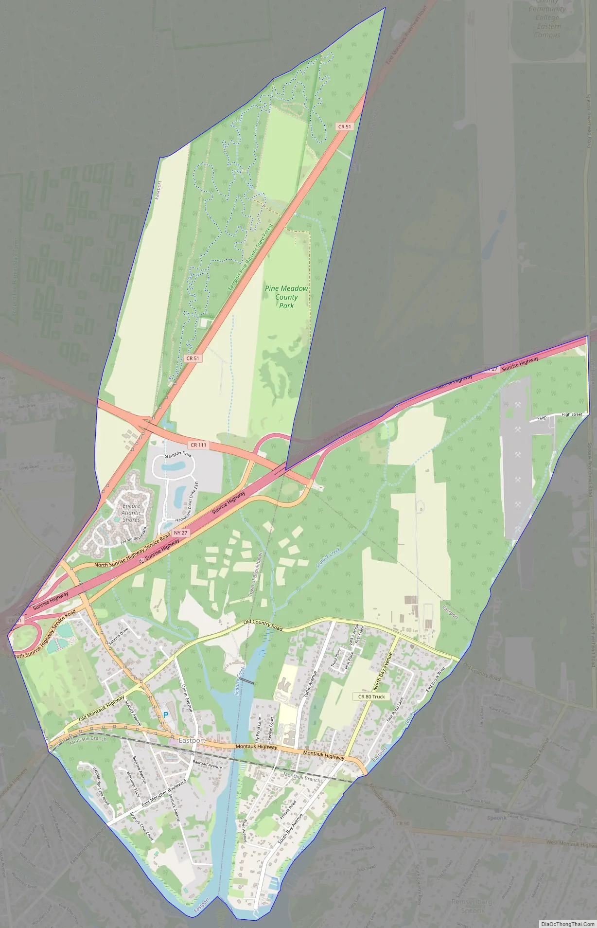
Eastport Road Map
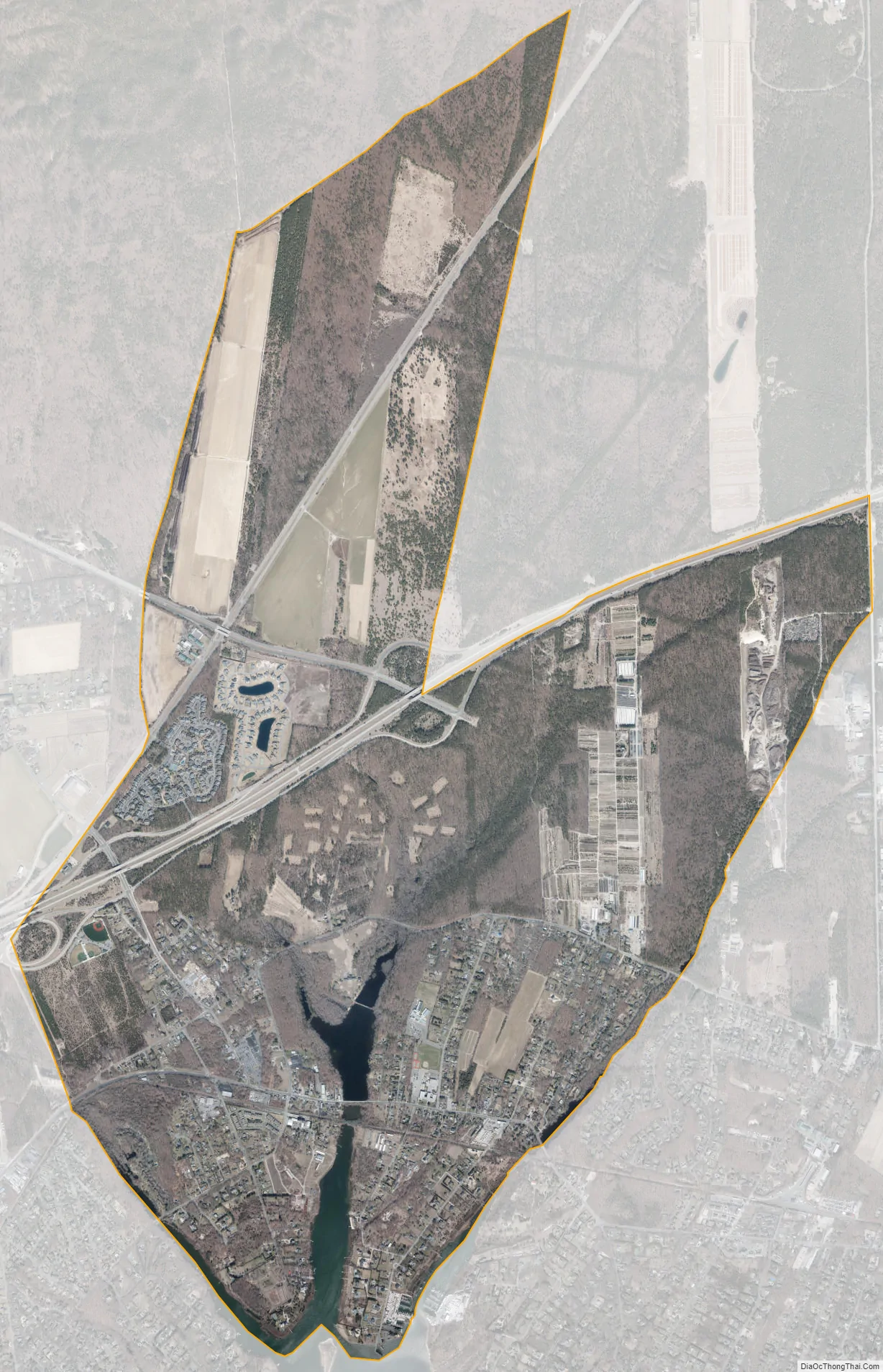
Eastport city Satellite Map
Geography
Eastport straddles the border of the towns of Brookhaven and Southampton.
According to the United States Census Bureau, the CDP has a total area of 5.4 square miles (14.0 km), of which 5.3 square miles (13.6 km) is land and 0.12 square miles (0.3 km), or 2.41%, is water.
See also
Map of New York State and its subdivision:- Albany
- Allegany
- Bronx
- Broome
- Cattaraugus
- Cayuga
- Chautauqua
- Chemung
- Chenango
- Clinton
- Columbia
- Cortland
- Delaware
- Dutchess
- Erie
- Essex
- Franklin
- Fulton
- Genesee
- Greene
- Hamilton
- Herkimer
- Jefferson
- Kings
- Lake Ontario
- Lewis
- Livingston
- Madison
- Monroe
- Montgomery
- Nassau
- New York
- Niagara
- Oneida
- Onondaga
- Ontario
- Orange
- Orleans
- Oswego
- Otsego
- Putnam
- Queens
- Rensselaer
- Richmond
- Rockland
- Saint Lawrence
- Saratoga
- Schenectady
- Schoharie
- Schuyler
- Seneca
- Steuben
- Suffolk
- Sullivan
- Tioga
- Tompkins
- Ulster
- Warren
- Washington
- Wayne
- Westchester
- Wyoming
- Yates
- Alabama
- Alaska
- Arizona
- Arkansas
- California
- Colorado
- Connecticut
- Delaware
- District of Columbia
- Florida
- Georgia
- Hawaii
- Idaho
- Illinois
- Indiana
- Iowa
- Kansas
- Kentucky
- Louisiana
- Maine
- Maryland
- Massachusetts
- Michigan
- Minnesota
- Mississippi
- Missouri
- Montana
- Nebraska
- Nevada
- New Hampshire
- New Jersey
- New Mexico
- New York
- North Carolina
- North Dakota
- Ohio
- Oklahoma
- Oregon
- Pennsylvania
- Rhode Island
- South Carolina
- South Dakota
- Tennessee
- Texas
- Utah
- Vermont
- Virginia
- Washington
- West Virginia
- Wisconsin
- Wyoming


