Eatons Neck is a hamlet and census-designated place (CDP) in the Town of Huntington in Suffolk County, on the North Shore of Long Island, in New York, United States. The population was 1,406 at the 2010 census.
There is a United States Coast Guard station at the northern tip of the hamlet.
| Name: | Eatons Neck CDP |
|---|---|
| LSAD Code: | 57 |
| LSAD Description: | CDP (suffix) |
| State: | New York |
| County: | Suffolk County |
| Elevation: | 16 ft (5 m) |
| Total Area: | 3.84 sq mi (9.94 km²) |
| Land Area: | 1.00 sq mi (2.60 km²) |
| Water Area: | 2.83 sq mi (7.34 km²) |
| Total Population: | 1,334 |
| Population Density: | 1,327.36/sq mi (512.65/km²) |
| ZIP code: | 11768 |
| Area code: | 631, 934 |
| FIPS code: | 3623316 |
| GNISfeature ID: | 1867404 |
Online Interactive Map
Click on ![]() to view map in "full screen" mode.
to view map in "full screen" mode.
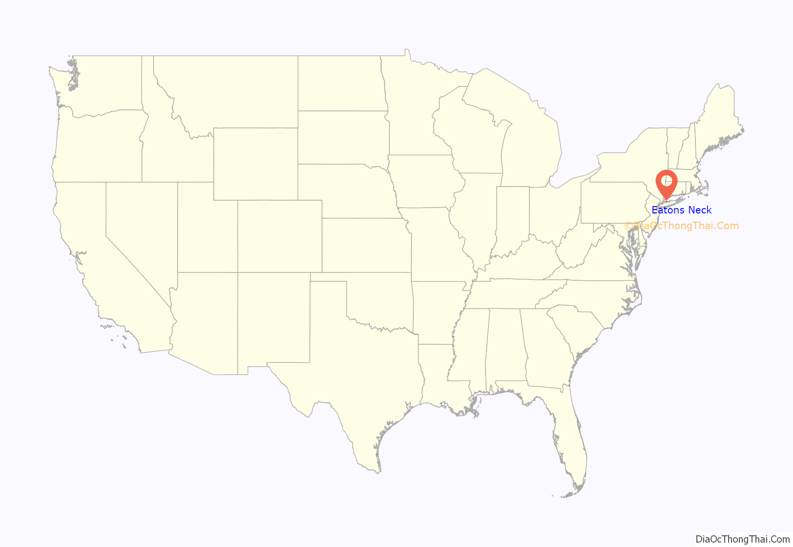
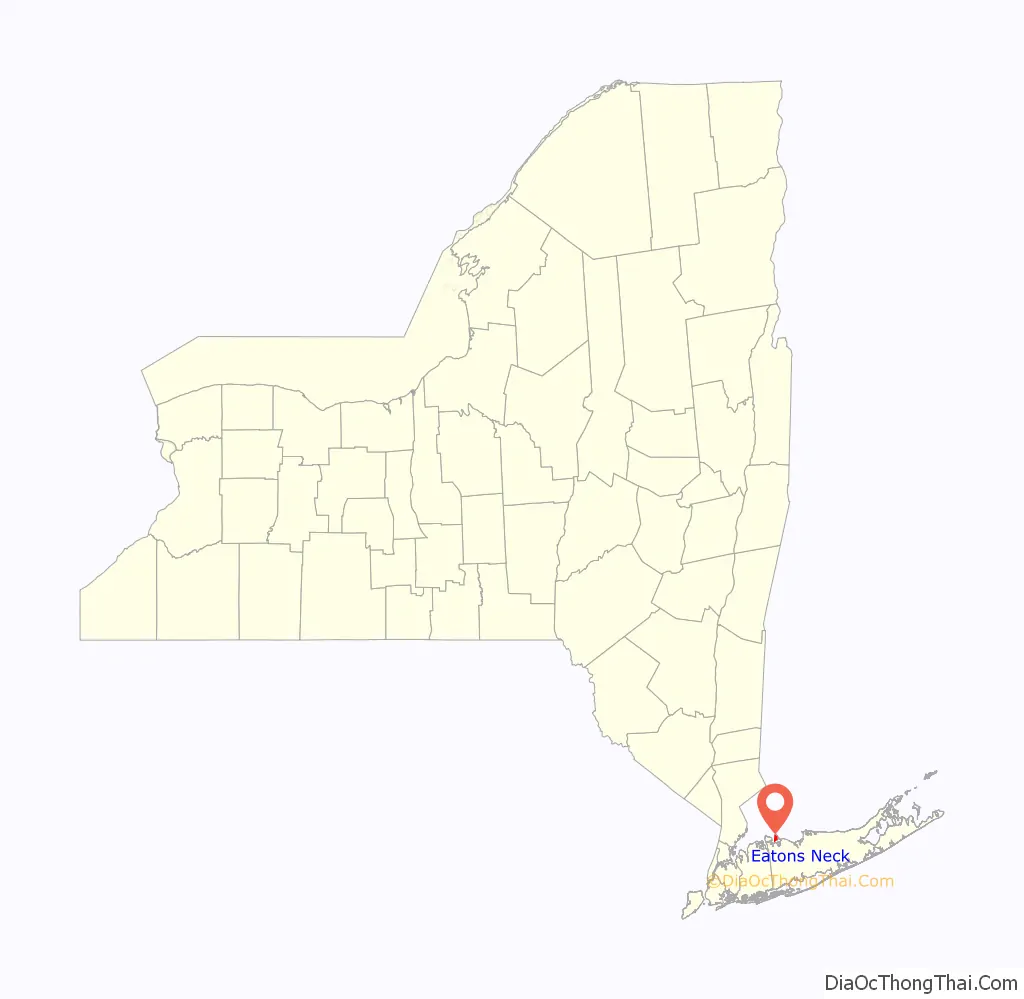
Eatons Neck location map. Where is Eatons Neck CDP?
History
In 1927, the bulk of Eatons Neck consisting of what is today known as the Morgan Estate and Two-Acre Zone was subdivided and sold by the heirs of Cornelius H. DeLamater. The Eaton Harbors Corporation was created to hold title to, and maintain, all the private beaches and roads on the former estate.
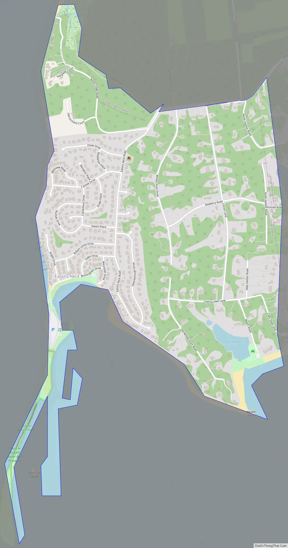
Eatons Neck Road Map
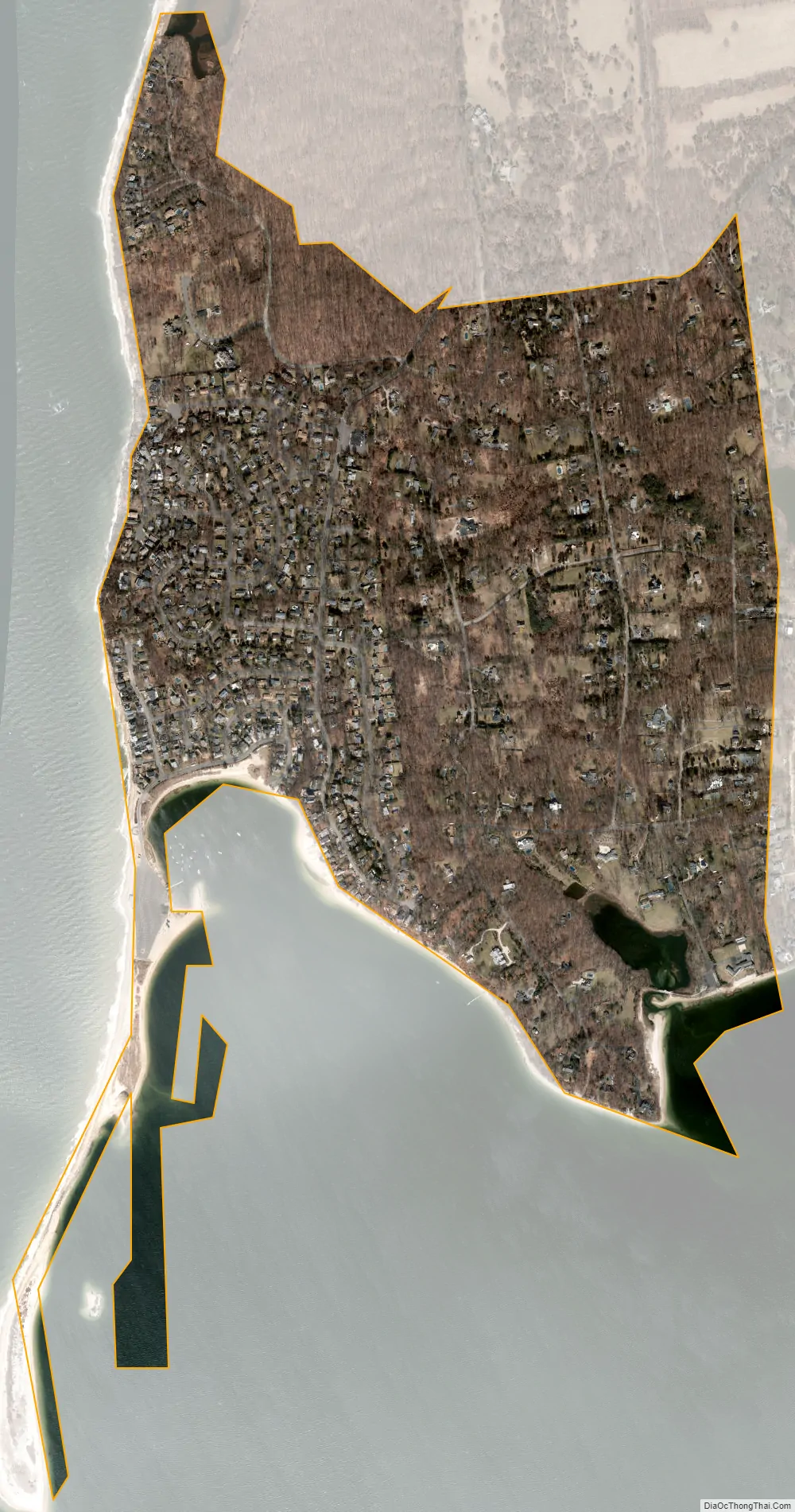
Eatons Neck city Satellite Map
Geography
According to the United States Census Bureau, the CDP has a total area of 1.0 square mile (2.6 km), all land.
See also
Map of New York State and its subdivision:- Albany
- Allegany
- Bronx
- Broome
- Cattaraugus
- Cayuga
- Chautauqua
- Chemung
- Chenango
- Clinton
- Columbia
- Cortland
- Delaware
- Dutchess
- Erie
- Essex
- Franklin
- Fulton
- Genesee
- Greene
- Hamilton
- Herkimer
- Jefferson
- Kings
- Lake Ontario
- Lewis
- Livingston
- Madison
- Monroe
- Montgomery
- Nassau
- New York
- Niagara
- Oneida
- Onondaga
- Ontario
- Orange
- Orleans
- Oswego
- Otsego
- Putnam
- Queens
- Rensselaer
- Richmond
- Rockland
- Saint Lawrence
- Saratoga
- Schenectady
- Schoharie
- Schuyler
- Seneca
- Steuben
- Suffolk
- Sullivan
- Tioga
- Tompkins
- Ulster
- Warren
- Washington
- Wayne
- Westchester
- Wyoming
- Yates
- Alabama
- Alaska
- Arizona
- Arkansas
- California
- Colorado
- Connecticut
- Delaware
- District of Columbia
- Florida
- Georgia
- Hawaii
- Idaho
- Illinois
- Indiana
- Iowa
- Kansas
- Kentucky
- Louisiana
- Maine
- Maryland
- Massachusetts
- Michigan
- Minnesota
- Mississippi
- Missouri
- Montana
- Nebraska
- Nevada
- New Hampshire
- New Jersey
- New Mexico
- New York
- North Carolina
- North Dakota
- Ohio
- Oklahoma
- Oregon
- Pennsylvania
- Rhode Island
- South Carolina
- South Dakota
- Tennessee
- Texas
- Utah
- Vermont
- Virginia
- Washington
- West Virginia
- Wisconsin
- Wyoming


